Lima /ˈlaɪmə/ is a village in Adams County, Illinois, United States. It is part of the Quincy, IL–MO Micropolitan Statistical Area. As of the 2020 census, the population was 148.
| Name: | Lima village |
|---|---|
| LSAD Code: | 47 |
| LSAD Description: | village (suffix) |
| State: | Illinois |
| County: | Adams County |
| Elevation: | 650 ft (200 m) |
| Total Area: | 0.14 sq mi (0.35 km²) |
| Land Area: | 0.14 sq mi (0.35 km²) |
| Water Area: | 0.00 sq mi (0.00 km²) 0% |
| Total Population: | 148 |
| Population Density: | 1,096.30/sq mi (424.60/km²) |
| Area code: | 217 |
| FIPS code: | 1743445 |
| GNISfeature ID: | 2398438 |
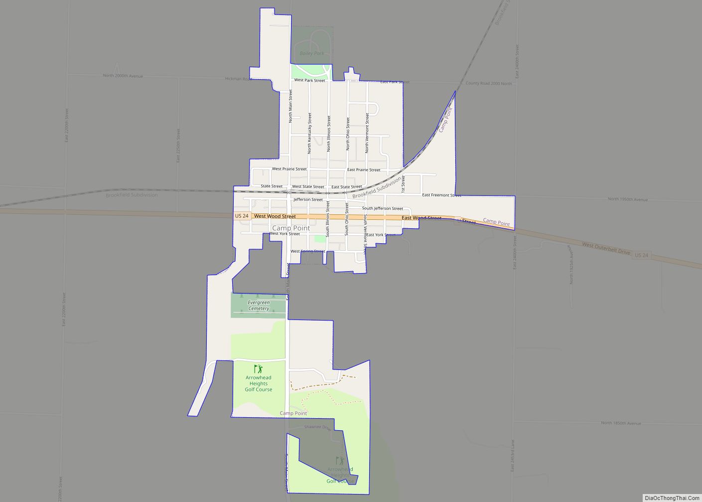
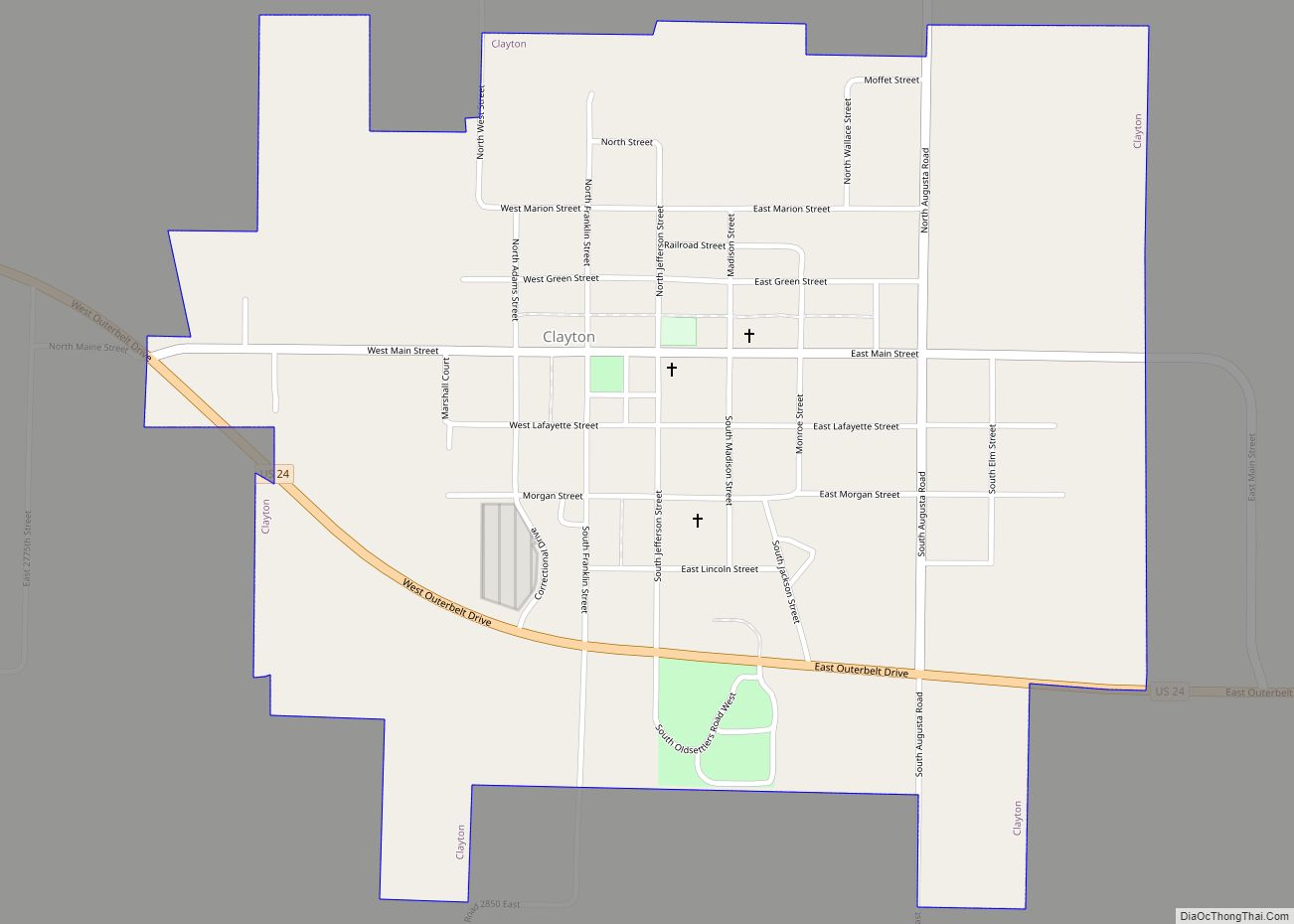
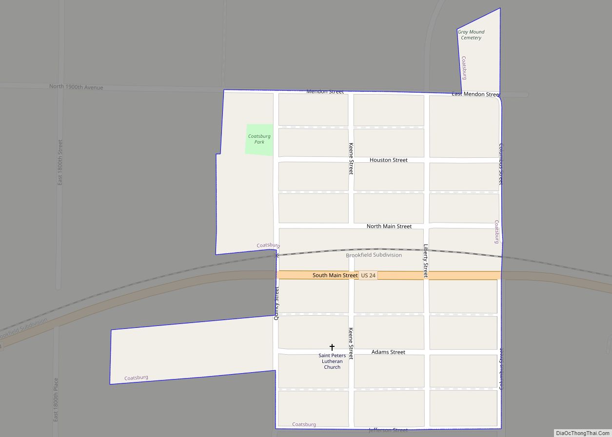
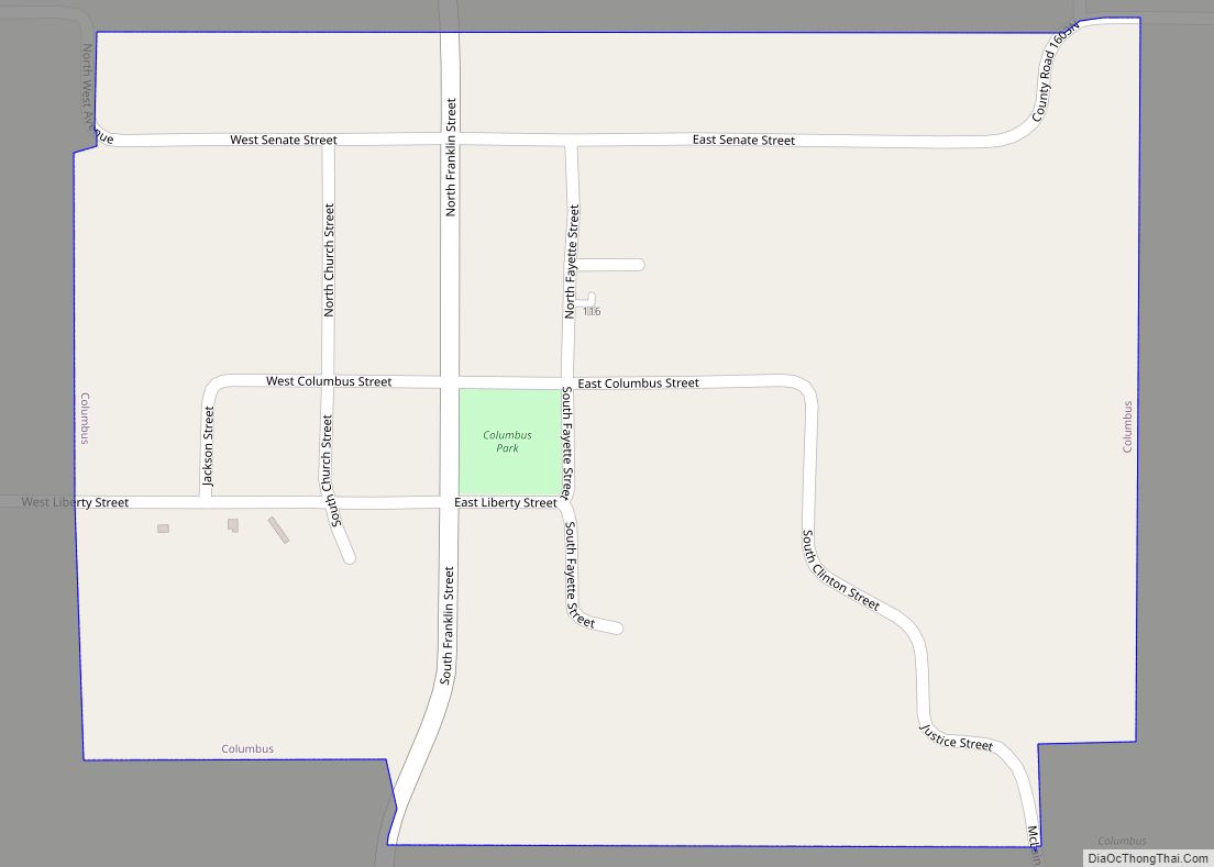
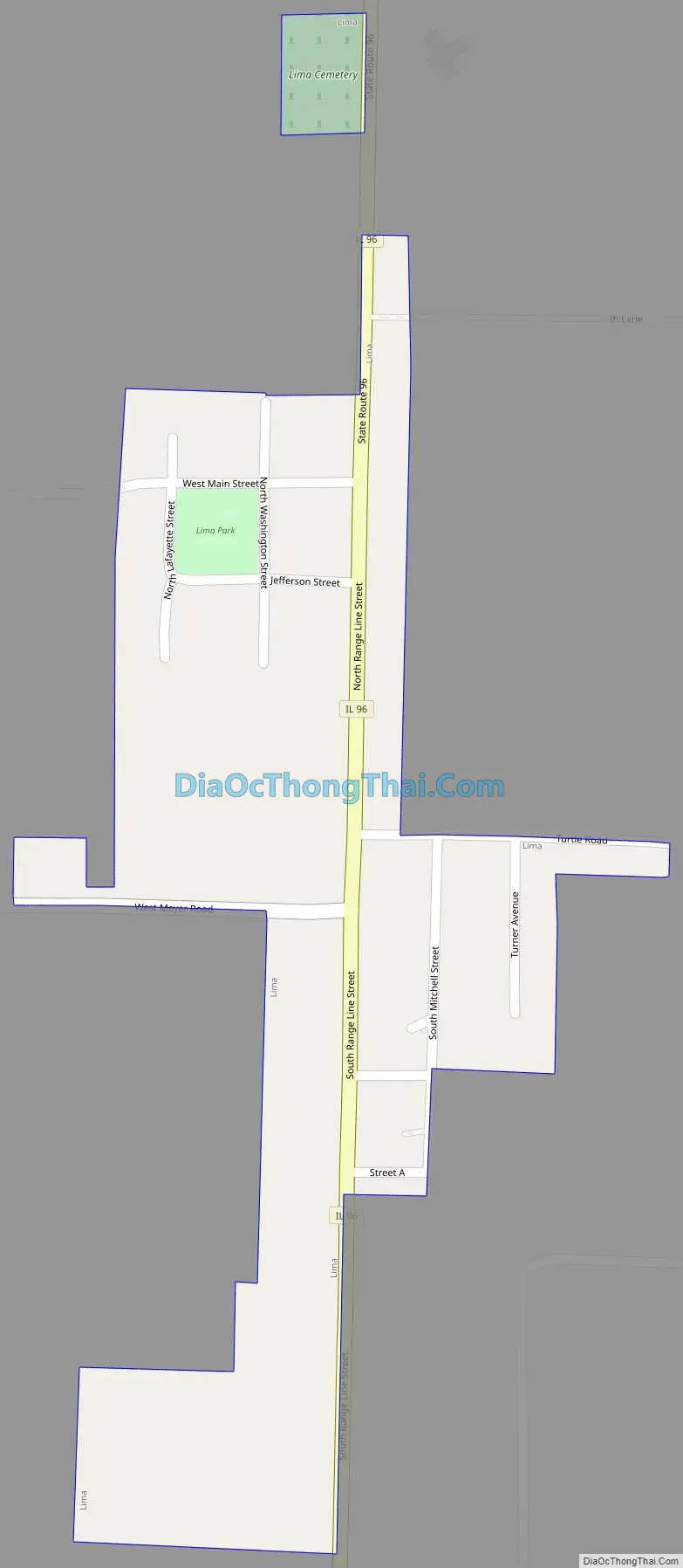
Online Interactive Map
Click on ![]() to view map in "full screen" mode.
to view map in "full screen" mode.
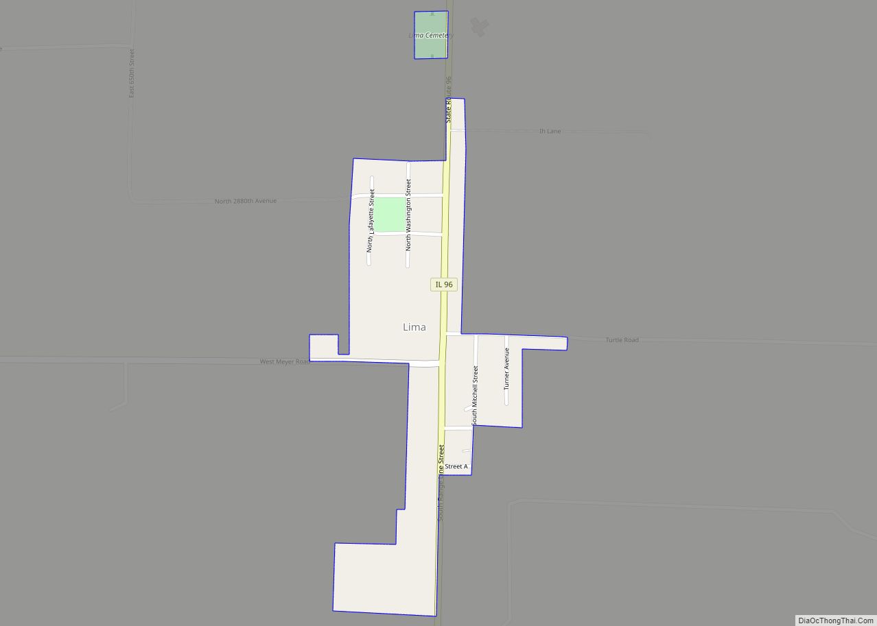
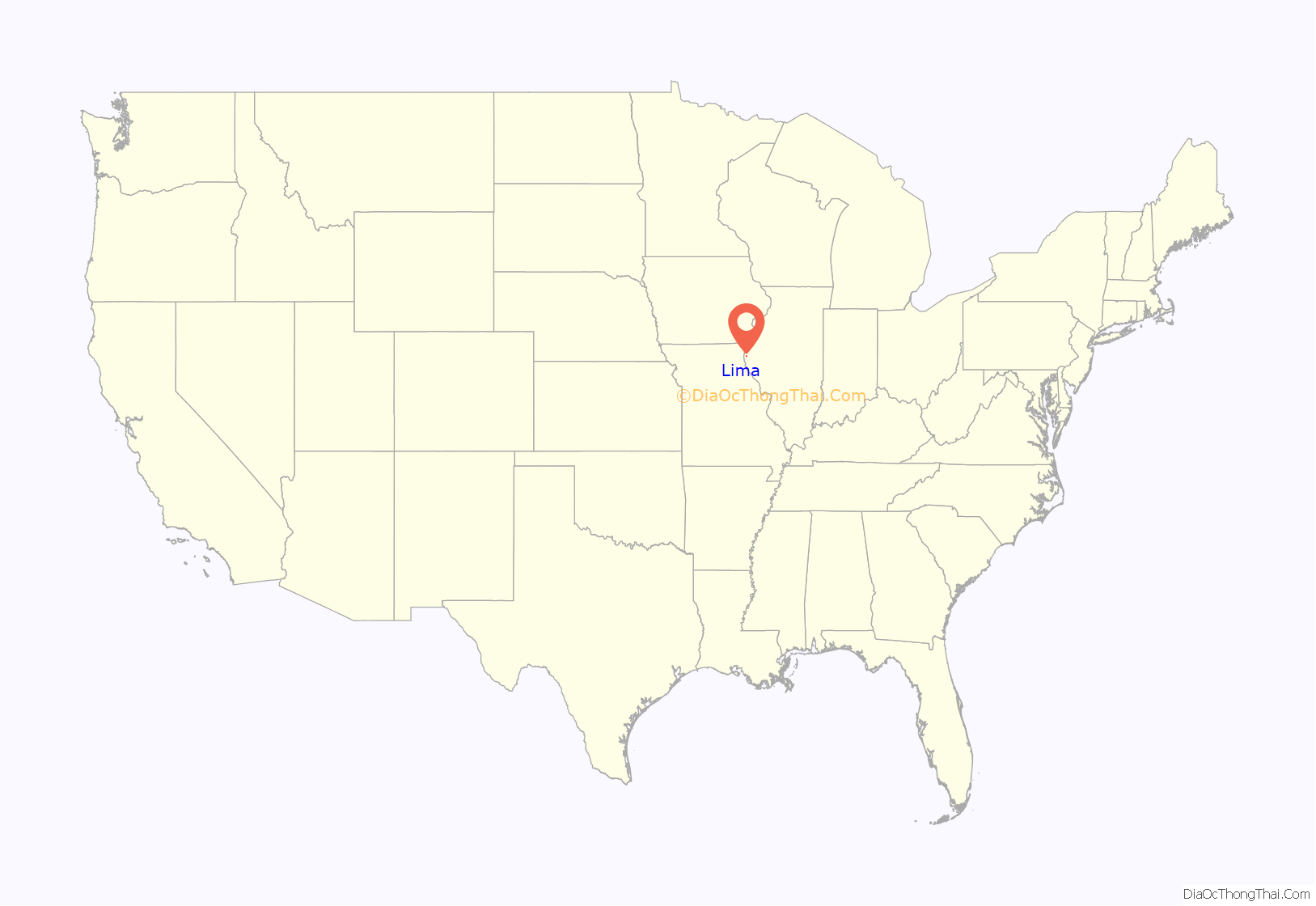
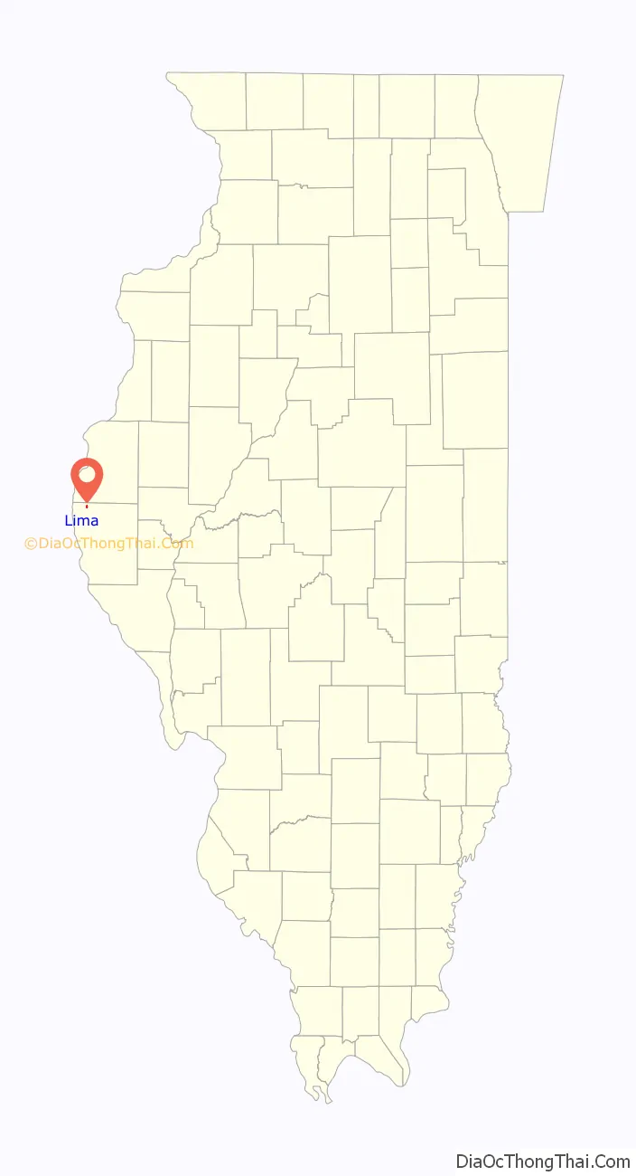
Lima location map. Where is Lima village?
History
Lima was platted in 1833, the year that the first store was established in the village, by Dr. Joseph Orr. Orr named the village Lima after Lima, Peru, on the suggestion of a Peruvian friend. In 1839 a large number of Latter-day Saints settled at this location. An LDS stake was organized here in 1840 and a conference here in 1841 had more than 400 Latter-day Saints presence. The Latter-day Saints left in 1845 due to mob violence.
As of 1955, Lima was the principal community of Lima Township, Illinois.
Lima Road Map
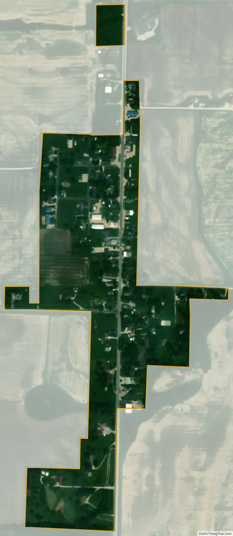
Lima city Satellite Map
Geography
Lima is located at 40°10′41″N 91°22′36″W / 40.17806°N 91.37667°W / 40.17806; -91.37667 (40.178095, -91.376783), along Illinois State Route 96.
According to the 2021 census gazetteer files, Lima has a total area of 0.14 square miles (0.36 km), all land.
See also
Map of Illinois State and its subdivision:- Adams
- Alexander
- Bond
- Boone
- Brown
- Bureau
- Calhoun
- Carroll
- Cass
- Champaign
- Christian
- Clark
- Clay
- Clinton
- Coles
- Cook
- Crawford
- Cumberland
- De Kalb
- De Witt
- Douglas
- Dupage
- Edgar
- Edwards
- Effingham
- Fayette
- Ford
- Franklin
- Fulton
- Gallatin
- Greene
- Grundy
- Hamilton
- Hancock
- Hardin
- Henderson
- Henry
- Iroquois
- Jackson
- Jasper
- Jefferson
- Jersey
- Jo Daviess
- Johnson
- Kane
- Kankakee
- Kendall
- Knox
- La Salle
- Lake
- Lake Michigan
- Lawrence
- Lee
- Livingston
- Logan
- Macon
- Macoupin
- Madison
- Marion
- Marshall
- Mason
- Massac
- McDonough
- McHenry
- McLean
- Menard
- Mercer
- Monroe
- Montgomery
- Morgan
- Moultrie
- Ogle
- Peoria
- Perry
- Piatt
- Pike
- Pope
- Pulaski
- Putnam
- Randolph
- Richland
- Rock Island
- Saint Clair
- Saline
- Sangamon
- Schuyler
- Scott
- Shelby
- Stark
- Stephenson
- Tazewell
- Union
- Vermilion
- Wabash
- Warren
- Washington
- Wayne
- White
- Whiteside
- Will
- Williamson
- Winnebago
- Woodford
- Alabama
- Alaska
- Arizona
- Arkansas
- California
- Colorado
- Connecticut
- Delaware
- District of Columbia
- Florida
- Georgia
- Hawaii
- Idaho
- Illinois
- Indiana
- Iowa
- Kansas
- Kentucky
- Louisiana
- Maine
- Maryland
- Massachusetts
- Michigan
- Minnesota
- Mississippi
- Missouri
- Montana
- Nebraska
- Nevada
- New Hampshire
- New Jersey
- New Mexico
- New York
- North Carolina
- North Dakota
- Ohio
- Oklahoma
- Oregon
- Pennsylvania
- Rhode Island
- South Carolina
- South Dakota
- Tennessee
- Texas
- Utah
- Vermont
- Virginia
- Washington
- West Virginia
- Wisconsin
- Wyoming