Marseilles (/mɑːrˈseɪlz/ mar-SAYLZ) is a city in LaSalle County, Illinois, United States. An Illinois River town, the population was 4,845 at the 2020 census, down from 5,094 at the 2010 census. It is part of the Ottawa, IL Micropolitan Statistical Area.
| Name: | Marseilles city |
|---|---|
| LSAD Code: | 25 |
| LSAD Description: | city (suffix) |
| State: | Illinois |
| County: | LaSalle County |
| Elevation: | 663 ft (202 m) |
| Total Area: | 9.57 sq mi (24.78 km²) |
| Land Area: | 9.08 sq mi (23.52 km²) |
| Water Area: | 0.49 sq mi (1.26 km²) |
| Total Population: | 4,845 |
| Population Density: | 533.59/sq mi (206.01/km²) |
| Area code: | 815 |
| FIPS code: | 1747150 |
| GNISfeature ID: | 2395020 |
| Website: | cityofmarseilles.com |
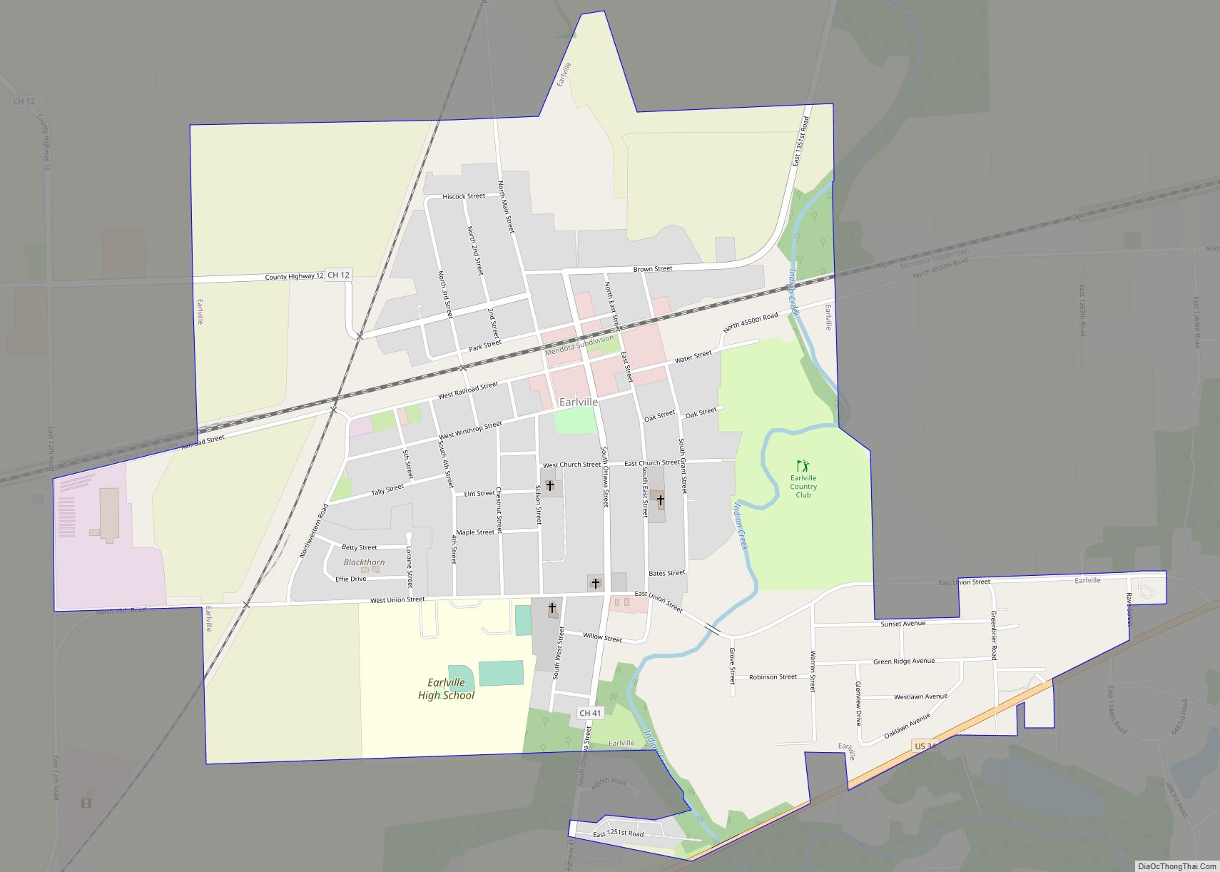
Online Interactive Map
Click on ![]() to view map in "full screen" mode.
to view map in "full screen" mode.
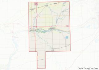
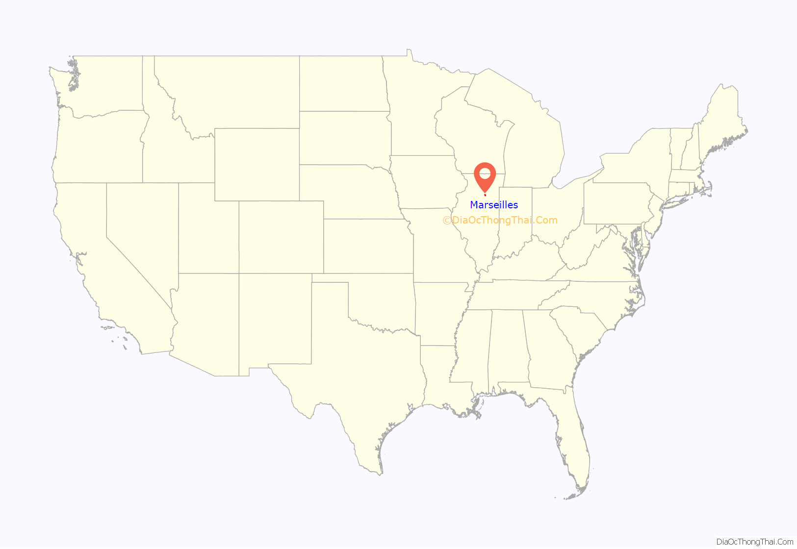
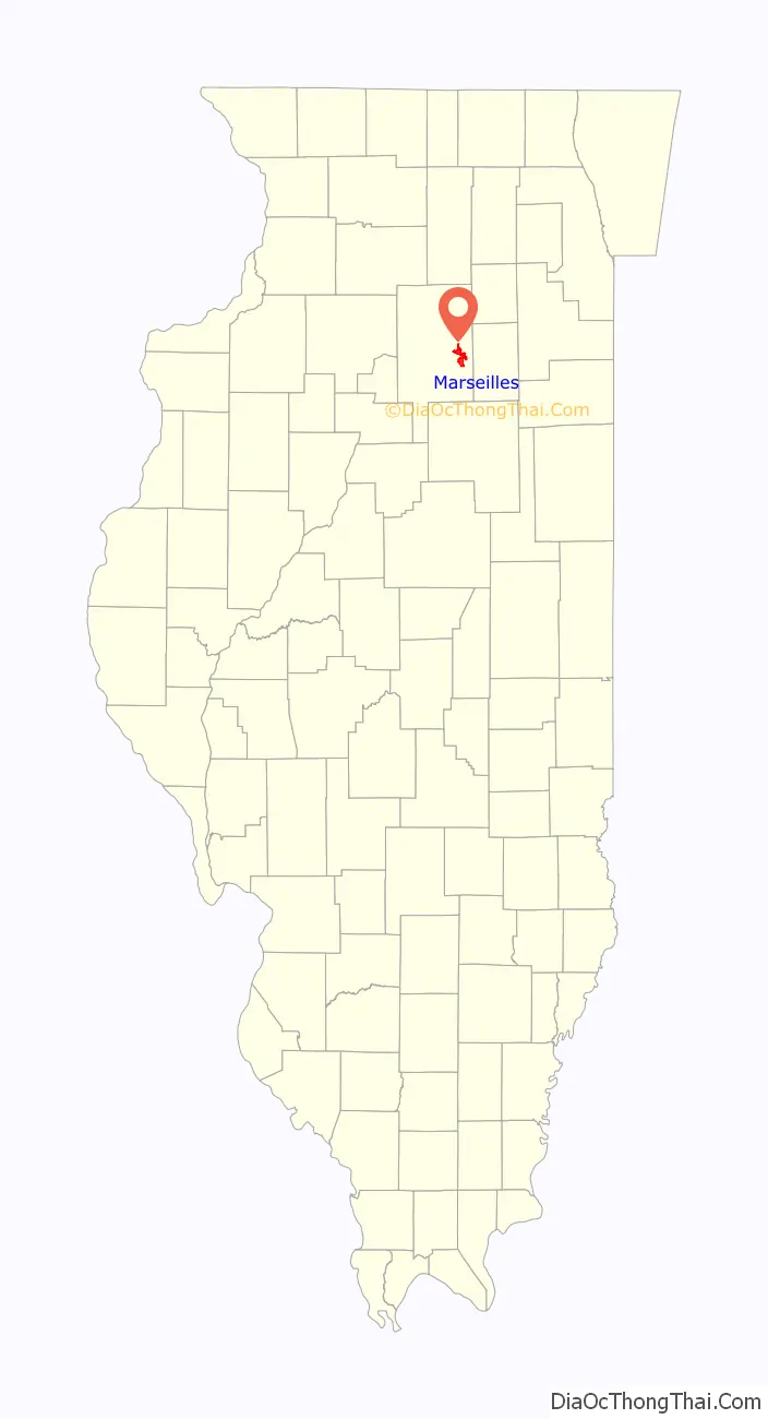
Marseilles location map. Where is Marseilles city?
History
Lovell Kimball arrived at the area along the Illinois River known as the Grand Rapids in 1833 from Watertown, New York. Kimball, aware that the Illinois-Michigan Canal Bill had passed and the canal would eventually reach the rapids, hired a surveyor to lay out a town. Kimball called the town Marseilles in reference to the French city of Marseille as he hoped it would become a similar industrial center in Illinois. Marseilles, pronounced the same as the French city, was officially platted on June 3, 1835; the plat was revised twice for railroad and canal right-of-ways.
Nabisco Building
In 1921 the National Biscuit Company (Nabisco) built an eight-story corrugated cardboard box production plant in Marseilles, the largest industrial building in the state (outside of Chicago) at the time, and the first air-conditioned factory in the Midwest. Nabisco was a major employer in the area but ceased production at the plant in 2002.
Middle East Conflicts Wall Memorial
In 2004 the Middle East Conflicts Wall Memorial was dedicated to the service men and women who gave their lives fighting in US wars anywhere in the Middle East. The Middle East Conflicts Wall Memorial is the first US memorial to servicemen dedicated while an actual war was ongoing. Currently, the earliest names on the wall are from 1967 commemorating the deaths during the USS Liberty incident.
Andrew Bacevich, American historian, felt that all presidential candidates should visit Marseilles, commenting that “Just as there are all-but-mandatory venues in Iowa and New Hampshire where candidates are expected to appear, why not make Marseilles, Illinois, one as well. Let all of the candidates competing to oust Donald Trump from the White House (their ranks now approaching two dozen) schedule at least one campaign stop at the Middle East Conflicts Wall, press entourage suitably in tow.” Andrew Bacevich lost his son in Iraq, his son’s name is included in the monument.
Museums
In 2016, Marseilles resident Seattle Sutton founded a community museum, located in the Chicago, Rock Island and Pacific Railroad building. Its collection includes historical items from the Nabisco factory, other Marseilles businesses, and archived recordings of Marseilles war veterans.
Marseilles Road Map
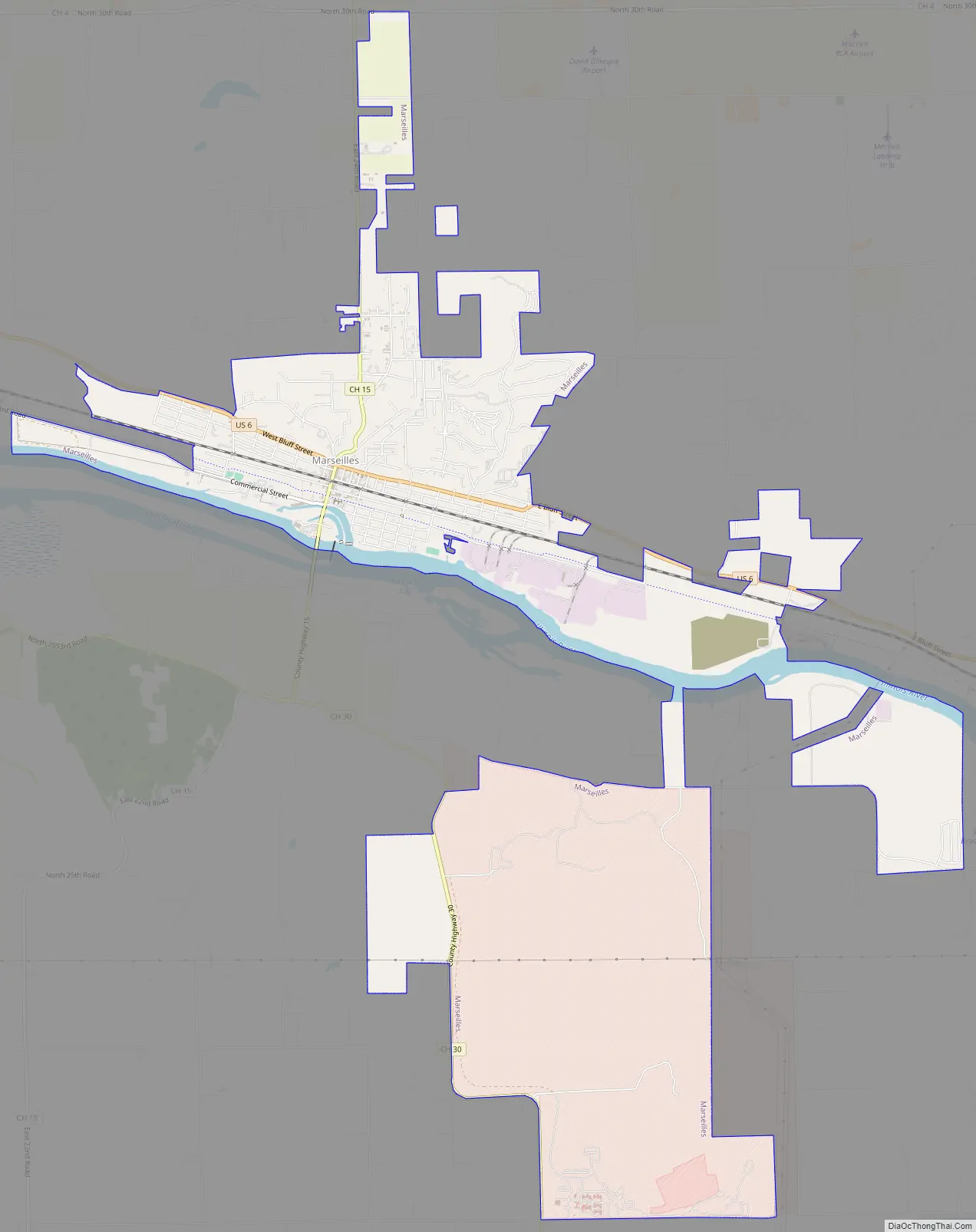
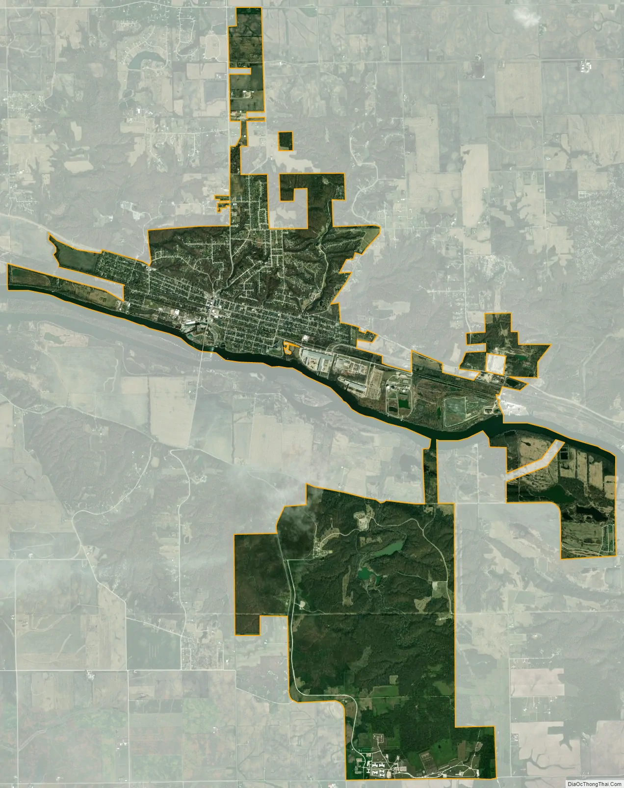
Marseilles city Satellite Map
Geography
Marseilles is located at 41°19′40″N 88°42′4″W / 41.32778°N 88.70111°W / 41.32778; -88.70111 (41.327795, −88.701121). The city is at the head of a rapids in the Illinois River historically known as “the Grand Rapids” or the “Rapids of Maninumba”.
According to the 2010 census, Marseilles has a total area of 9.206 square miles (23.84 km), of which 8.72 square miles (22.58 km) (or 94.72%) is land and 0.486 square miles (1.26 km) (or 5.28%) is water.
See also
Map of Illinois State and its subdivision:- Adams
- Alexander
- Bond
- Boone
- Brown
- Bureau
- Calhoun
- Carroll
- Cass
- Champaign
- Christian
- Clark
- Clay
- Clinton
- Coles
- Cook
- Crawford
- Cumberland
- De Kalb
- De Witt
- Douglas
- Dupage
- Edgar
- Edwards
- Effingham
- Fayette
- Ford
- Franklin
- Fulton
- Gallatin
- Greene
- Grundy
- Hamilton
- Hancock
- Hardin
- Henderson
- Henry
- Iroquois
- Jackson
- Jasper
- Jefferson
- Jersey
- Jo Daviess
- Johnson
- Kane
- Kankakee
- Kendall
- Knox
- La Salle
- Lake
- Lake Michigan
- Lawrence
- Lee
- Livingston
- Logan
- Macon
- Macoupin
- Madison
- Marion
- Marshall
- Mason
- Massac
- McDonough
- McHenry
- McLean
- Menard
- Mercer
- Monroe
- Montgomery
- Morgan
- Moultrie
- Ogle
- Peoria
- Perry
- Piatt
- Pike
- Pope
- Pulaski
- Putnam
- Randolph
- Richland
- Rock Island
- Saint Clair
- Saline
- Sangamon
- Schuyler
- Scott
- Shelby
- Stark
- Stephenson
- Tazewell
- Union
- Vermilion
- Wabash
- Warren
- Washington
- Wayne
- White
- Whiteside
- Will
- Williamson
- Winnebago
- Woodford
- Alabama
- Alaska
- Arizona
- Arkansas
- California
- Colorado
- Connecticut
- Delaware
- District of Columbia
- Florida
- Georgia
- Hawaii
- Idaho
- Illinois
- Indiana
- Iowa
- Kansas
- Kentucky
- Louisiana
- Maine
- Maryland
- Massachusetts
- Michigan
- Minnesota
- Mississippi
- Missouri
- Montana
- Nebraska
- Nevada
- New Hampshire
- New Jersey
- New Mexico
- New York
- North Carolina
- North Dakota
- Ohio
- Oklahoma
- Oregon
- Pennsylvania
- Rhode Island
- South Carolina
- South Dakota
- Tennessee
- Texas
- Utah
- Vermont
- Virginia
- Washington
- West Virginia
- Wisconsin
- Wyoming