Mendon is a village in Adams County, Illinois, United States. The population was 872 at the 2020 census. It is part of the Quincy, IL–MO Micropolitan Statistical Area.
The village is named after Mendon, Massachusetts.
| Name: | Mendon village |
|---|---|
| LSAD Code: | 47 |
| LSAD Description: | village (suffix) |
| State: | Illinois |
| County: | Adams County |
| Elevation: | 764 ft (233 m) |
| Total Area: | 0.86 sq mi (2.22 km²) |
| Land Area: | 0.86 sq mi (2.22 km²) |
| Water Area: | 0.00 sq mi (0.00 km²) 0% |
| Total Population: | 872 |
| Population Density: | 1,017.50/sq mi (393.00/km²) |
| Area code: | 217 |
| FIPS code: | 1748307 |
| GNISfeature ID: | 2399313 |
| Website: | www.mendonillinois.com |
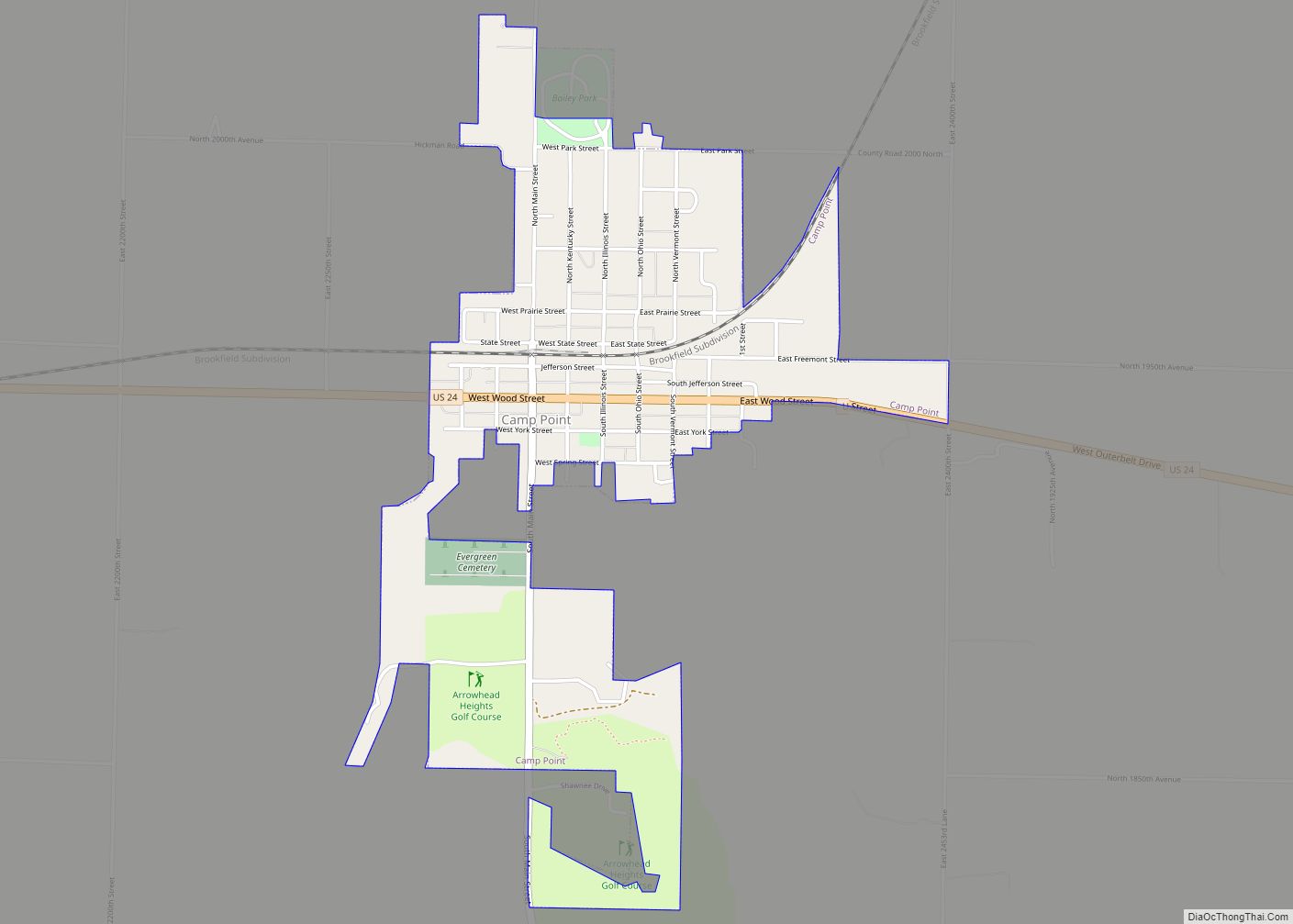
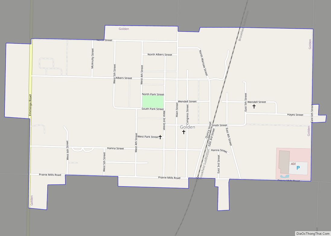
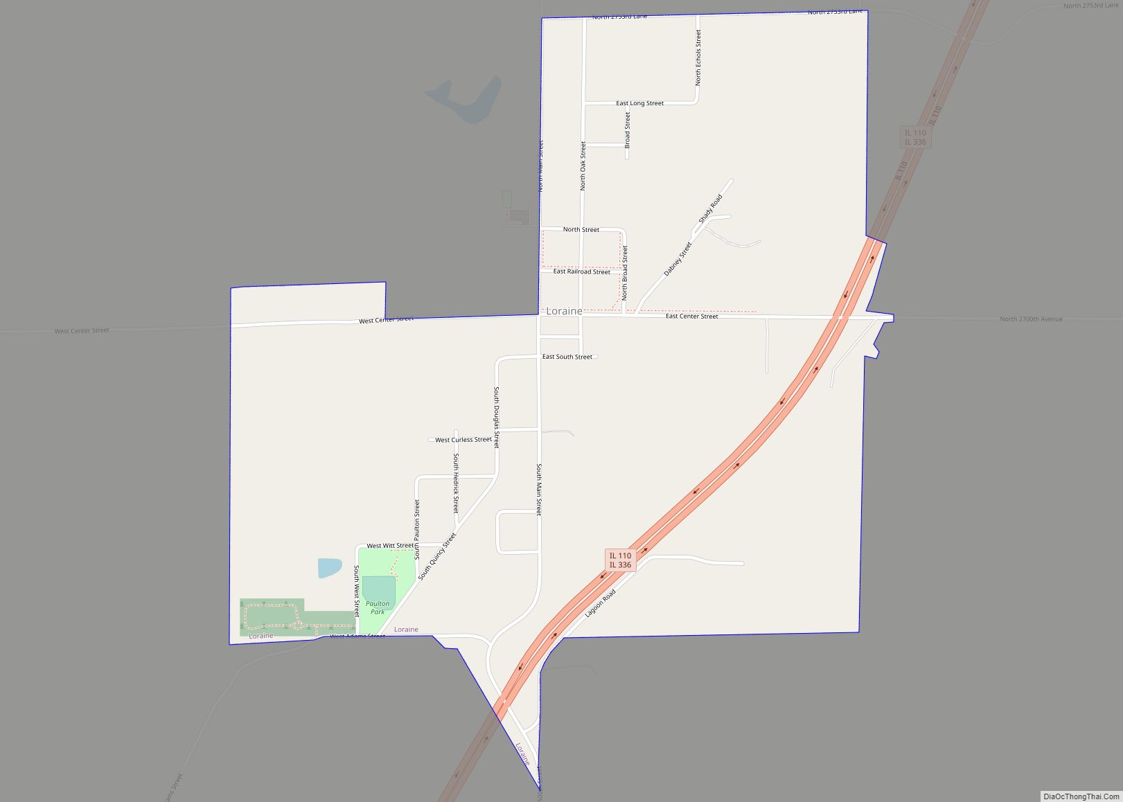
Online Interactive Map
Click on ![]() to view map in "full screen" mode.
to view map in "full screen" mode.
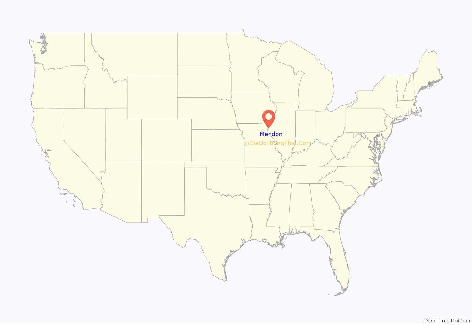
Mendon location map. Where is Mendon village?
History
Mendon was platted in 1833 under the name of Fairfield. However, there was another Fairfield in Illinois, so the village name was changed to Mendon.
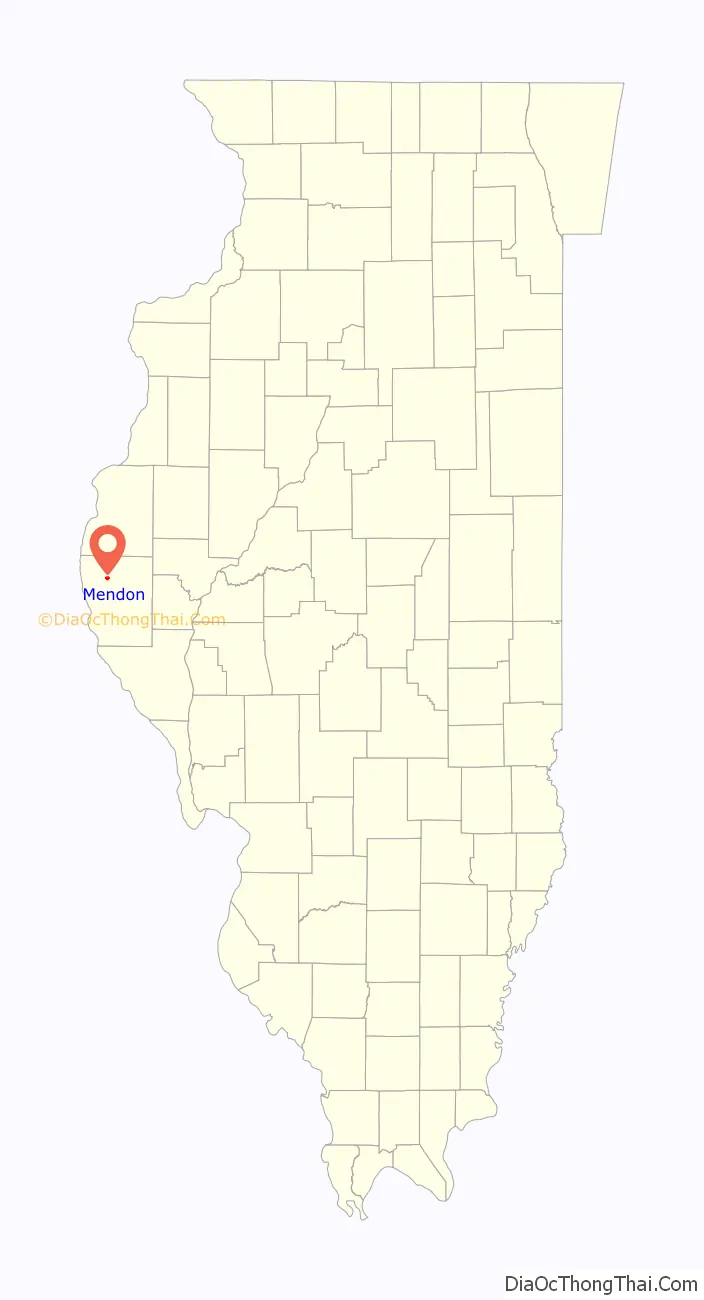
Mendon Road Map
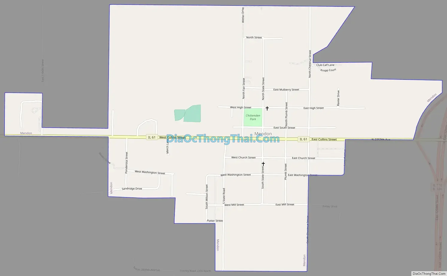
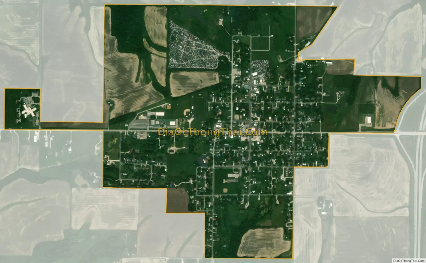
Mendon city Satellite Map
Geography
Mendon is located at 40°5′18″N 91°17′4″W / 40.08833°N 91.28444°W / 40.08833; -91.28444 (40.088241, -91.284458).
According to the 2021 census gazetteer files, Mendon has a total area of 0.86 square miles (2.23 km), all land.
The community is in northwest Adams County on Illinois Route 61. Illinois Route 336 passes approximately one-half mile to the east. Quincy is eleven miles to the south-southwest. The headwaters of Ursa Creek arise southeast of the community and it flows to the west passing the south side of the community.
See also
Map of Illinois State and its subdivision:- Adams
- Alexander
- Bond
- Boone
- Brown
- Bureau
- Calhoun
- Carroll
- Cass
- Champaign
- Christian
- Clark
- Clay
- Clinton
- Coles
- Cook
- Crawford
- Cumberland
- De Kalb
- De Witt
- Douglas
- Dupage
- Edgar
- Edwards
- Effingham
- Fayette
- Ford
- Franklin
- Fulton
- Gallatin
- Greene
- Grundy
- Hamilton
- Hancock
- Hardin
- Henderson
- Henry
- Iroquois
- Jackson
- Jasper
- Jefferson
- Jersey
- Jo Daviess
- Johnson
- Kane
- Kankakee
- Kendall
- Knox
- La Salle
- Lake
- Lake Michigan
- Lawrence
- Lee
- Livingston
- Logan
- Macon
- Macoupin
- Madison
- Marion
- Marshall
- Mason
- Massac
- McDonough
- McHenry
- McLean
- Menard
- Mercer
- Monroe
- Montgomery
- Morgan
- Moultrie
- Ogle
- Peoria
- Perry
- Piatt
- Pike
- Pope
- Pulaski
- Putnam
- Randolph
- Richland
- Rock Island
- Saint Clair
- Saline
- Sangamon
- Schuyler
- Scott
- Shelby
- Stark
- Stephenson
- Tazewell
- Union
- Vermilion
- Wabash
- Warren
- Washington
- Wayne
- White
- Whiteside
- Will
- Williamson
- Winnebago
- Woodford
- Alabama
- Alaska
- Arizona
- Arkansas
- California
- Colorado
- Connecticut
- Delaware
- District of Columbia
- Florida
- Georgia
- Hawaii
- Idaho
- Illinois
- Indiana
- Iowa
- Kansas
- Kentucky
- Louisiana
- Maine
- Maryland
- Massachusetts
- Michigan
- Minnesota
- Mississippi
- Missouri
- Montana
- Nebraska
- Nevada
- New Hampshire
- New Jersey
- New Mexico
- New York
- North Carolina
- North Dakota
- Ohio
- Oklahoma
- Oregon
- Pennsylvania
- Rhode Island
- South Carolina
- South Dakota
- Tennessee
- Texas
- Utah
- Vermont
- Virginia
- Washington
- West Virginia
- Wisconsin
- Wyoming