Middletown is a village in Logan County, Illinois, United States. The population was 324 at the 2010 census, down from 434 in 2000.
| Name: | Middletown village |
|---|---|
| LSAD Code: | 47 |
| LSAD Description: | village (suffix) |
| State: | Illinois |
| County: | Logan County |
| Elevation: | 584 ft (178 m) |
| Total Area: | 0.34 sq mi (0.88 km²) |
| Land Area: | 0.34 sq mi (0.88 km²) |
| Water Area: | 0.00 sq mi (0.00 km²) |
| Total Population: | 329 |
| Population Density: | 964.81/sq mi (372.01/km²) |
| ZIP code: | 62666 |
| Area code: | 217 |
| FIPS code: | 1748853 |
| GNISfeature ID: | 2399334 |
| Website: | middletownillinois.com |
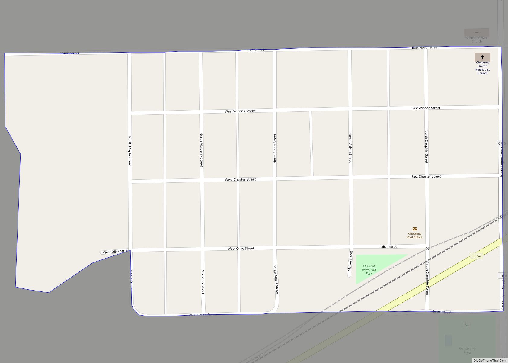
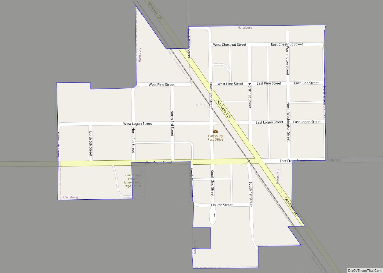
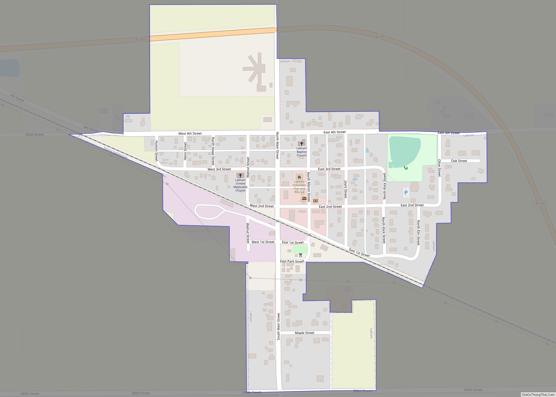
Online Interactive Map
Click on ![]() to view map in "full screen" mode.
to view map in "full screen" mode.
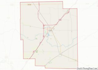
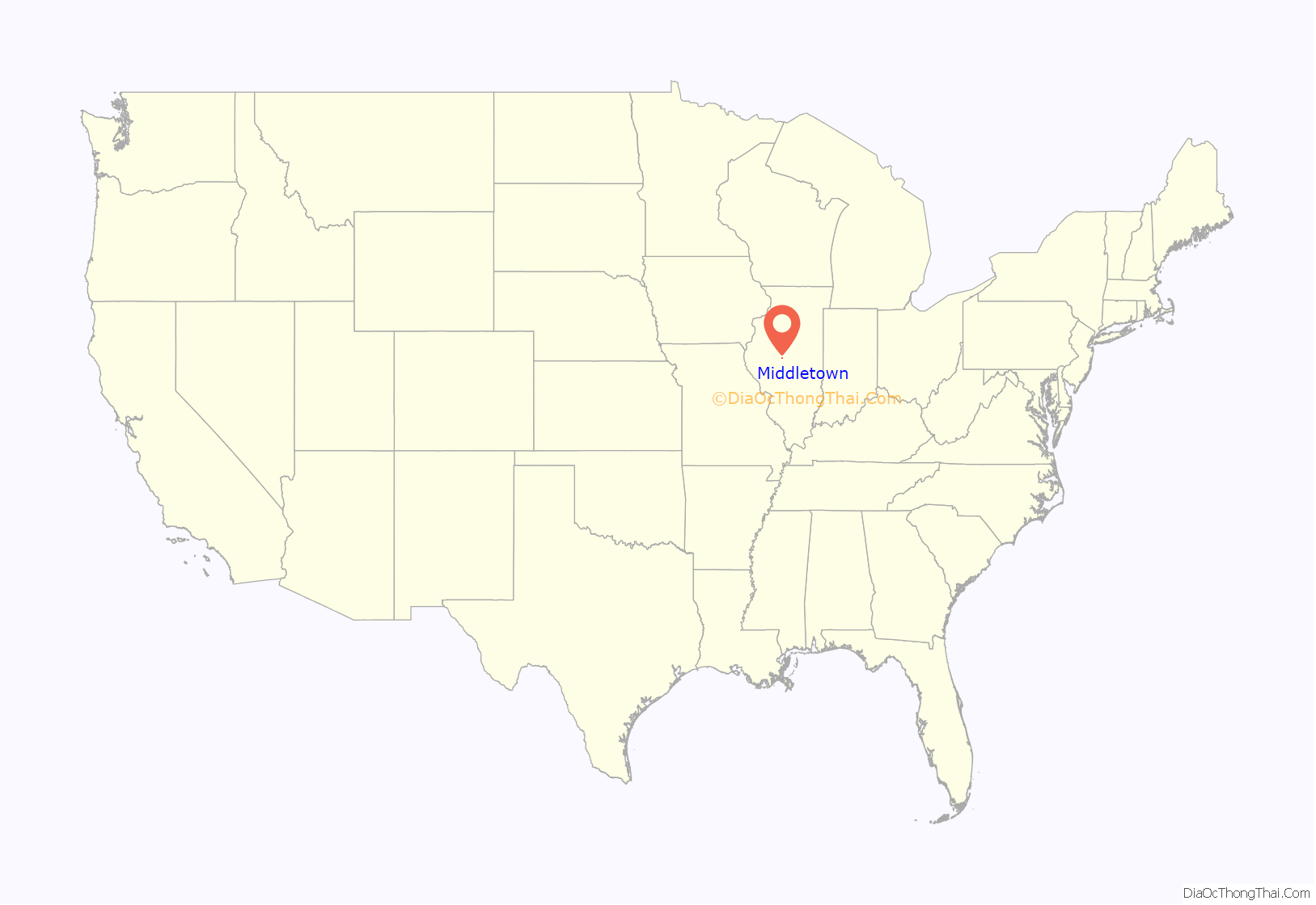
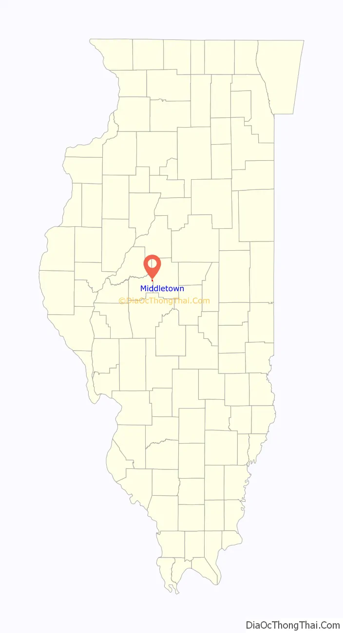
Middletown location map. Where is Middletown village?
History
Middletown, founded in 1832, is the oldest town in Logan County. At one time, Middletown was considered as a location for the capital of Illinois. Middletown was a frequent overnight stop for legislators traveling between Springfield and Peoria in the mid-to-late 19th century. The Stage Coach Inn, located off the town square, is the oldest such wooden structure in Illinois. It is believed that Abraham Lincoln stayed at the Inn. Unfortunately, official records were destroyed in a fire many years ago.
The town does have at least one official and verified link to Abe Lincoln as he surveyed the site which would become the town during his early days surveying in Logan County.
Middletown is also home to the Knapp library and museum. The Knapp building is the oldest brick building in Logan county.
Several hot air balloon records were set in Middletown and the historic Vin Fiz, the first cross country flight, counts Middletown as one of the stops on that journey.
Middletown celebrated its Terquasquicentennial (175th birthday) during June 2007.
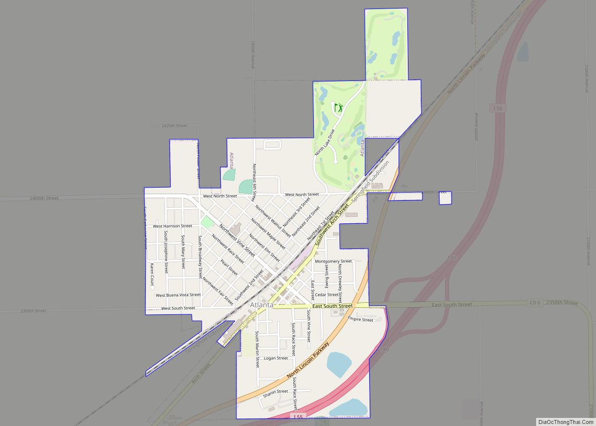
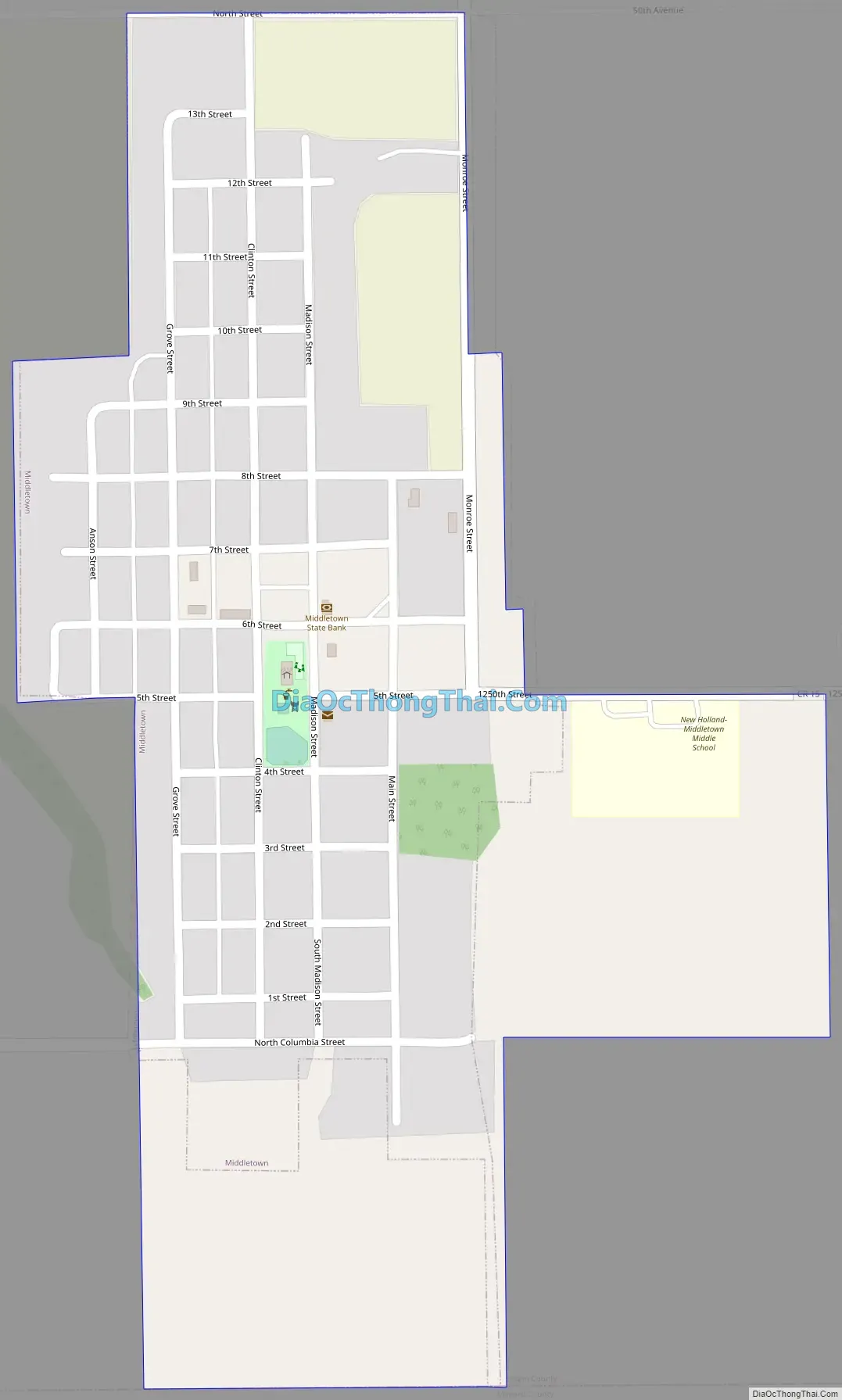
Middletown Road Map
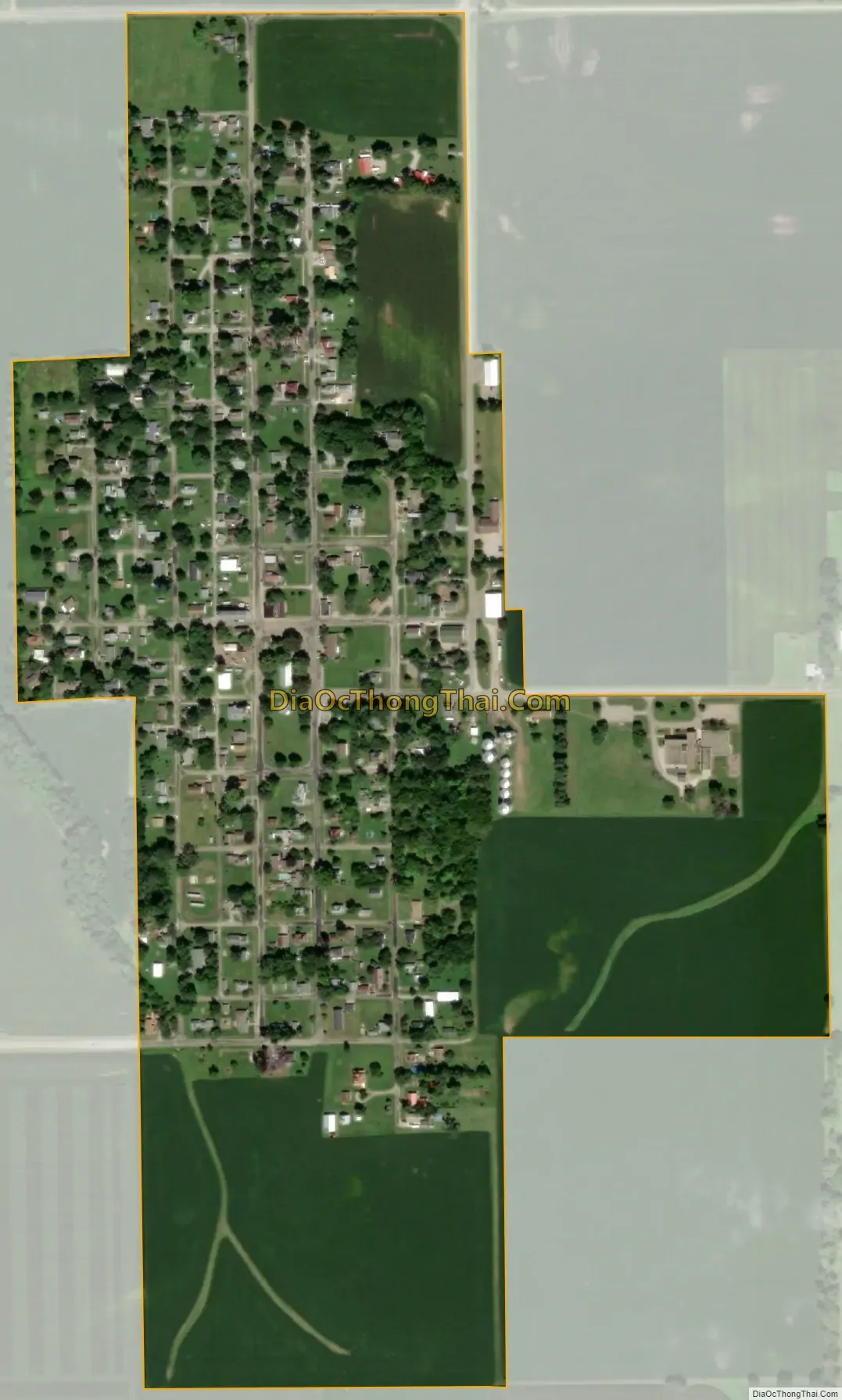
Middletown city Satellite Map
Geography
According to the 2010 census, Middletown has a total area of 0.24 square miles (0.62 km), all land.
See also
Map of Illinois State and its subdivision:- Adams
- Alexander
- Bond
- Boone
- Brown
- Bureau
- Calhoun
- Carroll
- Cass
- Champaign
- Christian
- Clark
- Clay
- Clinton
- Coles
- Cook
- Crawford
- Cumberland
- De Kalb
- De Witt
- Douglas
- Dupage
- Edgar
- Edwards
- Effingham
- Fayette
- Ford
- Franklin
- Fulton
- Gallatin
- Greene
- Grundy
- Hamilton
- Hancock
- Hardin
- Henderson
- Henry
- Iroquois
- Jackson
- Jasper
- Jefferson
- Jersey
- Jo Daviess
- Johnson
- Kane
- Kankakee
- Kendall
- Knox
- La Salle
- Lake
- Lake Michigan
- Lawrence
- Lee
- Livingston
- Logan
- Macon
- Macoupin
- Madison
- Marion
- Marshall
- Mason
- Massac
- McDonough
- McHenry
- McLean
- Menard
- Mercer
- Monroe
- Montgomery
- Morgan
- Moultrie
- Ogle
- Peoria
- Perry
- Piatt
- Pike
- Pope
- Pulaski
- Putnam
- Randolph
- Richland
- Rock Island
- Saint Clair
- Saline
- Sangamon
- Schuyler
- Scott
- Shelby
- Stark
- Stephenson
- Tazewell
- Union
- Vermilion
- Wabash
- Warren
- Washington
- Wayne
- White
- Whiteside
- Will
- Williamson
- Winnebago
- Woodford
- Alabama
- Alaska
- Arizona
- Arkansas
- California
- Colorado
- Connecticut
- Delaware
- District of Columbia
- Florida
- Georgia
- Hawaii
- Idaho
- Illinois
- Indiana
- Iowa
- Kansas
- Kentucky
- Louisiana
- Maine
- Maryland
- Massachusetts
- Michigan
- Minnesota
- Mississippi
- Missouri
- Montana
- Nebraska
- Nevada
- New Hampshire
- New Jersey
- New Mexico
- New York
- North Carolina
- North Dakota
- Ohio
- Oklahoma
- Oregon
- Pennsylvania
- Rhode Island
- South Carolina
- South Dakota
- Tennessee
- Texas
- Utah
- Vermont
- Virginia
- Washington
- West Virginia
- Wisconsin
- Wyoming