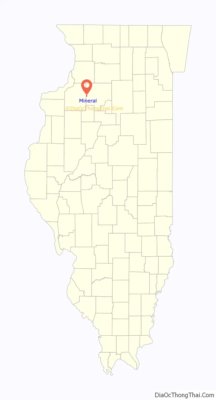
Mineral is a village in Bureau County, Illinois, United States. The population was 206 at the 2020 census, down from 237 at the 2010 census. It is part of the Ottawa Micropolitan Statistical Area.
| Name: | Mineral village |
|---|---|
| LSAD Code: | 47 |
| LSAD Description: | village (suffix) |
| State: | Illinois |
| County: | Bureau County |
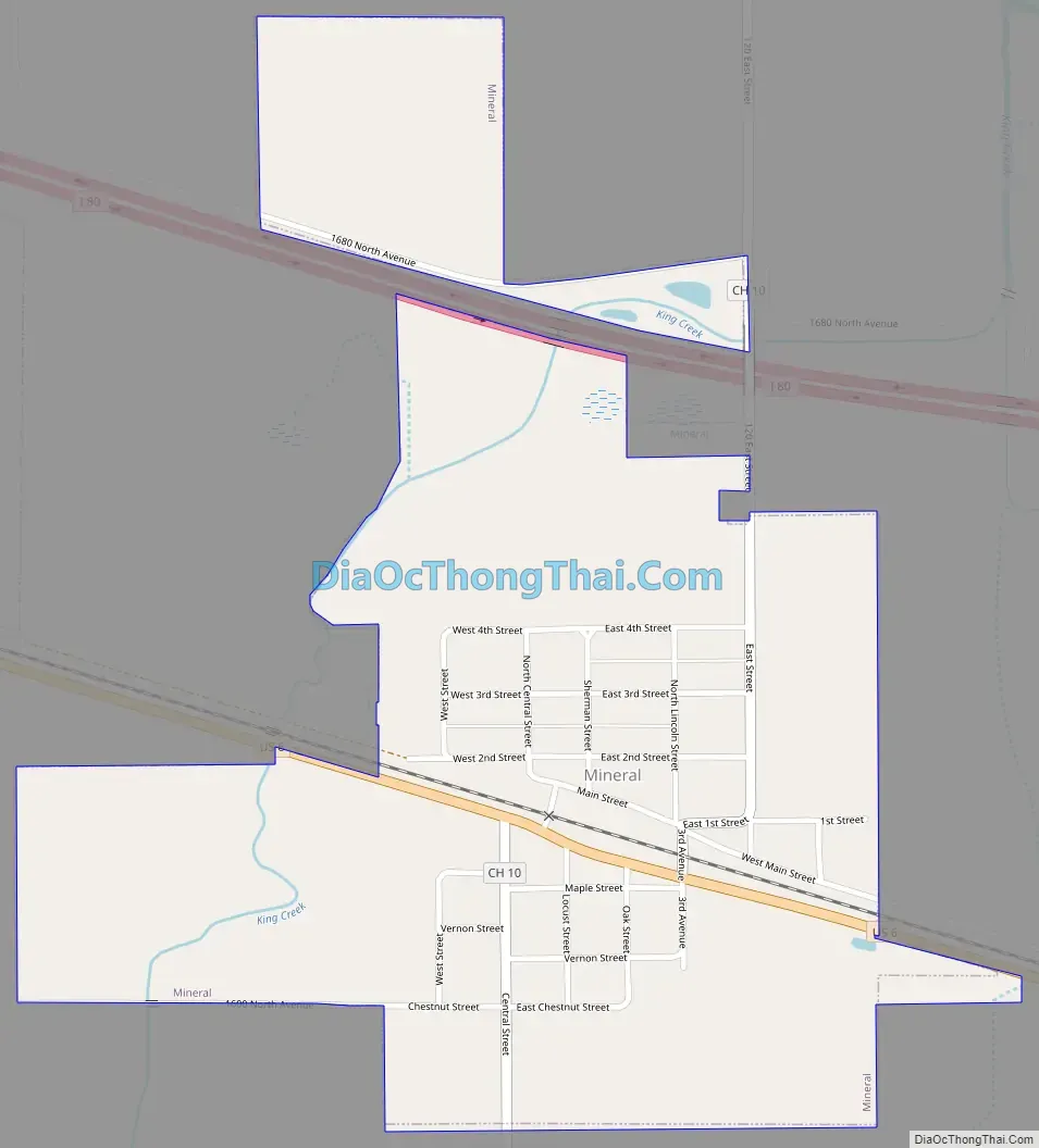
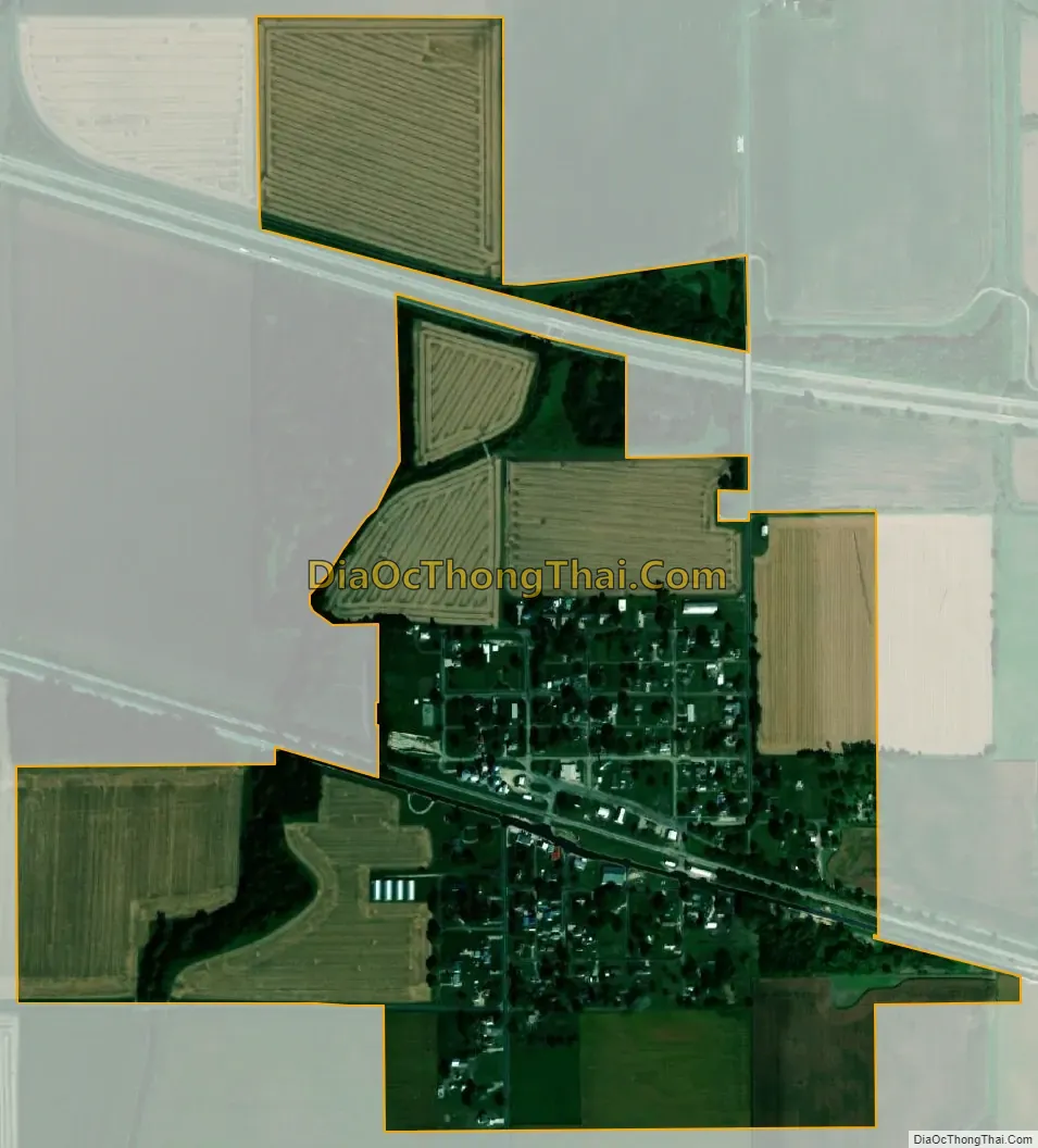
| Total Area: | 0.553 sq mi (1.43 km²) |
| Water Area: | 0.00 sq mi (0.0 km²) |
| Total Population: | 206 |
| Population Density: | 370/sq mi (140/km²) |
| Area code: | 309 |
| FIPS code: | 1749516 |
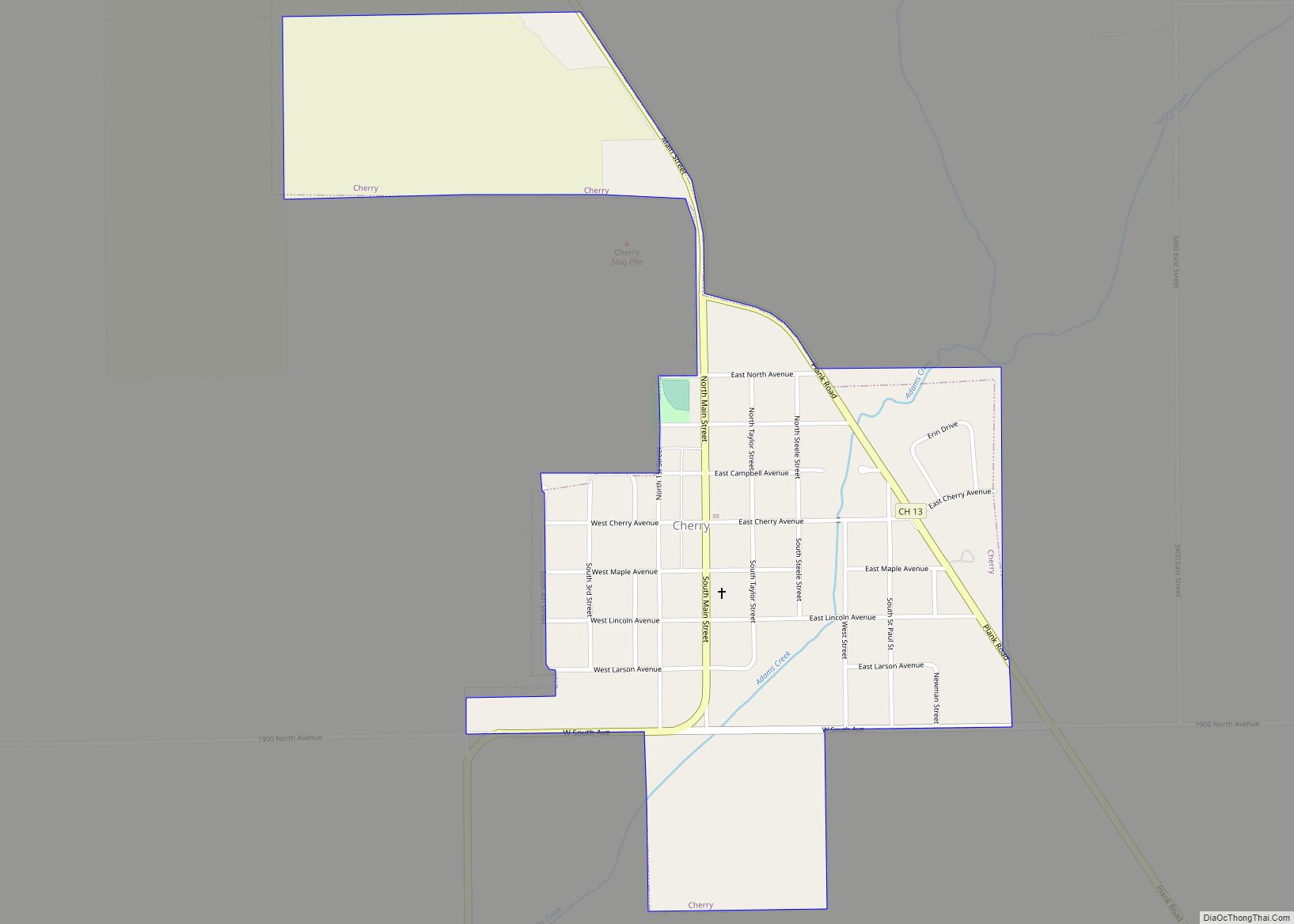
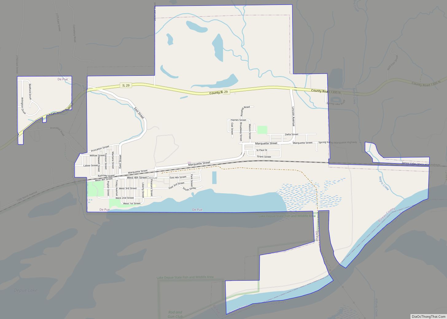
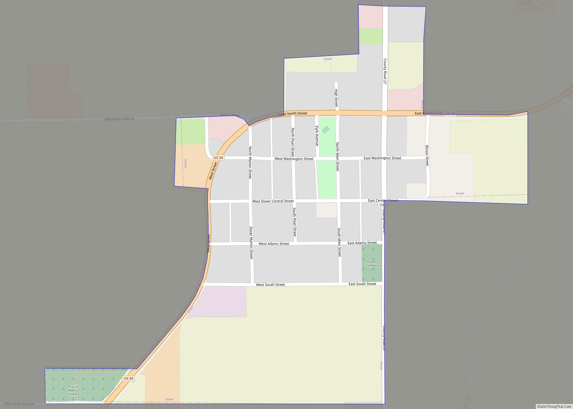
Online Interactive Map
Click on ![]() to view map in "full screen" mode.
to view map in "full screen" mode.
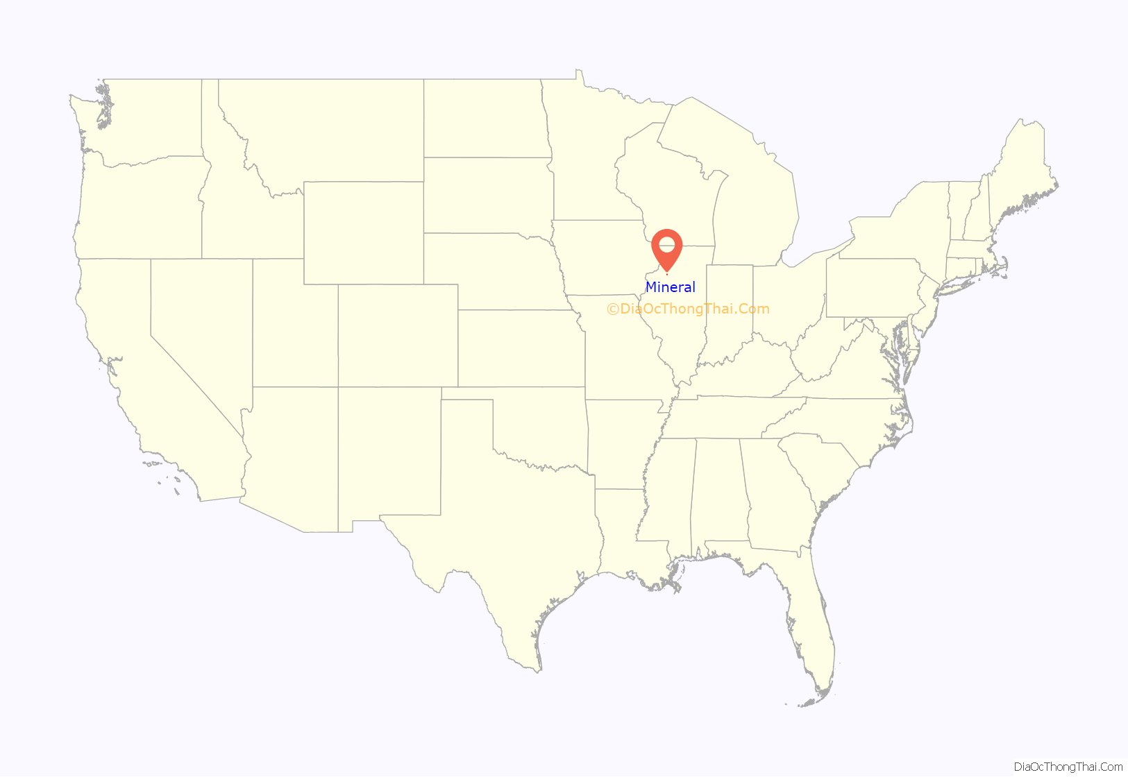
Mineral location map. Where is Mineral village?
History
The area in which Mineral is located was first settled in the early 1830s. The land just south of the current village was found to be ripe with coal. Several mines were open until strip mining became a commonly practiced way to retrieve coal from the ground.
The population of the township of Mineral (so named because of its rich coal supply) became populated to the point of where it was officially organized in 1850. As the train tracks were laid north of the coal mining area, so brought the formation of the town of Mineral. The town of Mineral was platted in 1857 and soon developed several small stores and a population of 300 to 350 residents.
A school was erected in 1870, with the town’s first graduating high school class being the class of 1894, with three students earning their diplomas. The year 1907 brought the completion of the Hennepin Canal to the north of Mineral. The canal’s practical use was outdated by its completion due to the vast developments in the train industry. The Hennepin Canal continues to function as a fishing and boating area.
In 1919, the Mineral School building was destroyed by fire. The school district was organized and determined to rebuild. In 1922, a new two-story brick school building was built on the northwest side of town. This school was built to handle grades 1 – 12 and included a gymnasium complete with a stage and balcony area. During this time, Mineral continued to grow at a steady pace. Though the town’s population is said to have never exceeded 350 people, the town was able to support several small businesses, allowing the residents to have all they needed within walking distance of their homes. The creation of U.S. Route 6, which passed through Mineral, was also an asset to the town, bringing in visitors from all over the country.
Mineral enjoyed great successes through the 1930s, 1940s, and 1950s, continuing to support its own school system and several small businesses including, at one time, three gas stations, three restaurant/taverns, an upholstery store, a motel, two grain elevators, two churches, a lumber yard, two grocery stores, a bank, a volunteer fire department, a library, a barbershop, a beauty shop, an ice cream parlor and Mineral High School.
In 1961, the high school was closed due to a lack of sufficient enrollment. The Mineral School District agreed to an annexation effort into the Annawan School District. The Mineral School building continued to serve as a grade school for the Annawan School District until 1974, when its services as a school were ceased for good.
The creation of I-80 north of Mineral was the second devastating blow to the growth of Mineral in the 1960s. All foreign traffic that previously traveled through town by the hundreds of cars a day, now took the quicker, more efficient route of I-80. One by one the businesses closed in this once bustling community.
Today Mineral still supports a grain elevator, a restaurant/tavern, a library, a new post office, a Methodist Church, a volunteer Fire Department, and a trucking business. The old school building has been razed. A new ethanol plant is being built just two miles west of town and is bringing hope for a resurgence in population for the area.
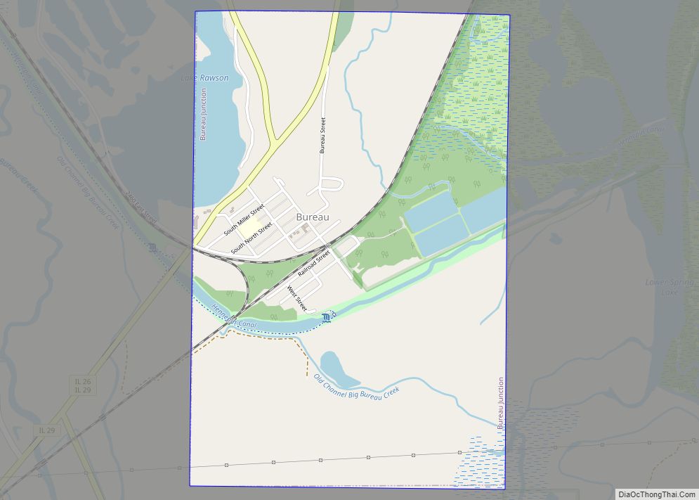
Mineral Road Map
Mineral city Satellite Map
Geography
Mineral is located at 41°22′55″N 89°50′12″W / 41.38194°N 89.83667°W / 41.38194; -89.83667 (41.381921, -89.836576).
According to the 2021 census gazetteer files, Mineral has a total area of 0.55 square miles (1.42 km), all land.
See also
Map of Illinois State and its subdivision:- Adams
- Alexander
- Bond
- Boone
- Brown
- Bureau
- Calhoun
- Carroll
- Cass
- Champaign
- Christian
- Clark
- Clay
- Clinton
- Coles
- Cook
- Crawford
- Cumberland
- De Kalb
- De Witt
- Douglas
- Dupage
- Edgar
- Edwards
- Effingham
- Fayette
- Ford
- Franklin
- Fulton
- Gallatin
- Greene
- Grundy
- Hamilton
- Hancock
- Hardin
- Henderson
- Henry
- Iroquois
- Jackson
- Jasper
- Jefferson
- Jersey
- Jo Daviess
- Johnson
- Kane
- Kankakee
- Kendall
- Knox
- La Salle
- Lake
- Lake Michigan
- Lawrence
- Lee
- Livingston
- Logan
- Macon
- Macoupin
- Madison
- Marion
- Marshall
- Mason
- Massac
- McDonough
- McHenry
- McLean
- Menard
- Mercer
- Monroe
- Montgomery
- Morgan
- Moultrie
- Ogle
- Peoria
- Perry
- Piatt
- Pike
- Pope
- Pulaski
- Putnam
- Randolph
- Richland
- Rock Island
- Saint Clair
- Saline
- Sangamon
- Schuyler
- Scott
- Shelby
- Stark
- Stephenson
- Tazewell
- Union
- Vermilion
- Wabash
- Warren
- Washington
- Wayne
- White
- Whiteside
- Will
- Williamson
- Winnebago
- Woodford
- Alabama
- Alaska
- Arizona
- Arkansas
- California
- Colorado
- Connecticut
- Delaware
- District of Columbia
- Florida
- Georgia
- Hawaii
- Idaho
- Illinois
- Indiana
- Iowa
- Kansas
- Kentucky
- Louisiana
- Maine
- Maryland
- Massachusetts
- Michigan
- Minnesota
- Mississippi
- Missouri
- Montana
- Nebraska
- Nevada
- New Hampshire
- New Jersey
- New Mexico
- New York
- North Carolina
- North Dakota
- Ohio
- Oklahoma
- Oregon
- Pennsylvania
- Rhode Island
- South Carolina
- South Dakota
- Tennessee
- Texas
- Utah
- Vermont
- Virginia
- Washington
- West Virginia
- Wisconsin
- Wyoming