Morris is a city in and the county seat of Grundy County, Illinois, United States and part of the southwest Chicago metropolitan area. The population was estimated at 15,053 in 2019.
| Name: | Morris city |
|---|---|
| LSAD Code: | 25 |
| LSAD Description: | city (suffix) |
| State: | Illinois |
| County: | Grundy County |
| Founded: | 1842 |
| Elevation: | 515 ft (157 m) |
| Total Area: | 11.64 sq mi (30.15 km²) |
| Land Area: | 11.28 sq mi (29.22 km²) |
| Water Area: | 0.36 sq mi (0.93 km²) |
| Total Population: | 14,163 |
| Population Density: | 1,255.25/sq mi (484.65/km²) |
| FIPS code: | 1750491 |
Online Interactive Map
Click on ![]() to view map in "full screen" mode.
to view map in "full screen" mode.
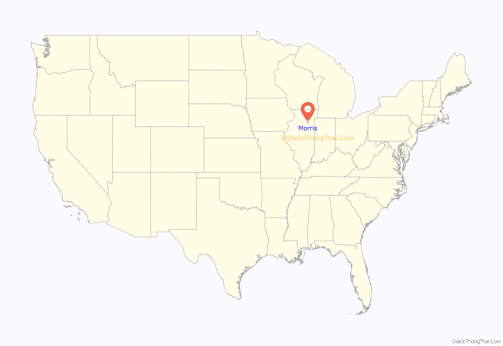
Morris location map. Where is Morris city?
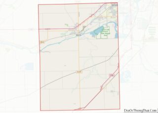
Morris Road Map
Morris city Satellite Map
Geography
Morris is located in northeast Grundy County along U.S. Route 6 and Illinois Route 47 and on the north side of the Illinois River at an elevation of 515 feet (157 m).
According to the 2010 census, Morris has a total area of 9.804 square miles (25.39 km), of which 9.44 square miles (24.45 km) (or 96.29%) is land and 0.364 square miles (0.94 km) (or 3.71%) is water.
Climate
The annual precipitation for Morris is about 40 inches. The record high for Morris is 109 °F (43 °C) on July 14, 1936. The record low for Morris is -26 °F (−32 °C) in December 1924. The average high temperature for Morris in July is 84.5 °F (43 °C), while the average January low is 15.4 °F (-9.2 °C).
Morris has not been struck by any major tornadoes in recent history, although they occur in Northern Illinois annually. Morris was the first town hit by the Super Outbreak of April 3–4, 1974. However, the damage within the city was relatively minor, and nobody was injured.
The city can receive heavy snowfall and experience blizzards periodically.
See also
Map of Illinois State and its subdivision:- Adams
- Alexander
- Bond
- Boone
- Brown
- Bureau
- Calhoun
- Carroll
- Cass
- Champaign
- Christian
- Clark
- Clay
- Clinton
- Coles
- Cook
- Crawford
- Cumberland
- De Kalb
- De Witt
- Douglas
- Dupage
- Edgar
- Edwards
- Effingham
- Fayette
- Ford
- Franklin
- Fulton
- Gallatin
- Greene
- Grundy
- Hamilton
- Hancock
- Hardin
- Henderson
- Henry
- Iroquois
- Jackson
- Jasper
- Jefferson
- Jersey
- Jo Daviess
- Johnson
- Kane
- Kankakee
- Kendall
- Knox
- La Salle
- Lake
- Lake Michigan
- Lawrence
- Lee
- Livingston
- Logan
- Macon
- Macoupin
- Madison
- Marion
- Marshall
- Mason
- Massac
- McDonough
- McHenry
- McLean
- Menard
- Mercer
- Monroe
- Montgomery
- Morgan
- Moultrie
- Ogle
- Peoria
- Perry
- Piatt
- Pike
- Pope
- Pulaski
- Putnam
- Randolph
- Richland
- Rock Island
- Saint Clair
- Saline
- Sangamon
- Schuyler
- Scott
- Shelby
- Stark
- Stephenson
- Tazewell
- Union
- Vermilion
- Wabash
- Warren
- Washington
- Wayne
- White
- Whiteside
- Will
- Williamson
- Winnebago
- Woodford
- Alabama
- Alaska
- Arizona
- Arkansas
- California
- Colorado
- Connecticut
- Delaware
- District of Columbia
- Florida
- Georgia
- Hawaii
- Idaho
- Illinois
- Indiana
- Iowa
- Kansas
- Kentucky
- Louisiana
- Maine
- Maryland
- Massachusetts
- Michigan
- Minnesota
- Mississippi
- Missouri
- Montana
- Nebraska
- Nevada
- New Hampshire
- New Jersey
- New Mexico
- New York
- North Carolina
- North Dakota
- Ohio
- Oklahoma
- Oregon
- Pennsylvania
- Rhode Island
- South Carolina
- South Dakota
- Tennessee
- Texas
- Utah
- Vermont
- Virginia
- Washington
- West Virginia
- Wisconsin
- Wyoming
