Mount Morris is a village in Mount Morris Township, Ogle County, Illinois, United States. The population was 2,998 at the 2010 census, down from 3,013 in 2000.
| Name: | Mount Morris village |
|---|---|
| LSAD Code: | 47 |
| LSAD Description: | village (suffix) |
| State: | Illinois |
| County: | Ogle County |
| Elevation: | 909 ft (277 m) |
| Total Area: | 1.56 sq mi (4.04 km²) |
| Land Area: | 1.56 sq mi (4.04 km²) |
| Water Area: | 0.00 sq mi (0.00 km²) |
| Total Population: | 2,861 |
| Population Density: | 1,833.97/sq mi (708.18/km²) |
| Area code: | 815 |
| FIPS code: | 1750998 |
| Website: | mtmorrisil.net |
Online Interactive Map
Click on ![]() to view map in "full screen" mode.
to view map in "full screen" mode.
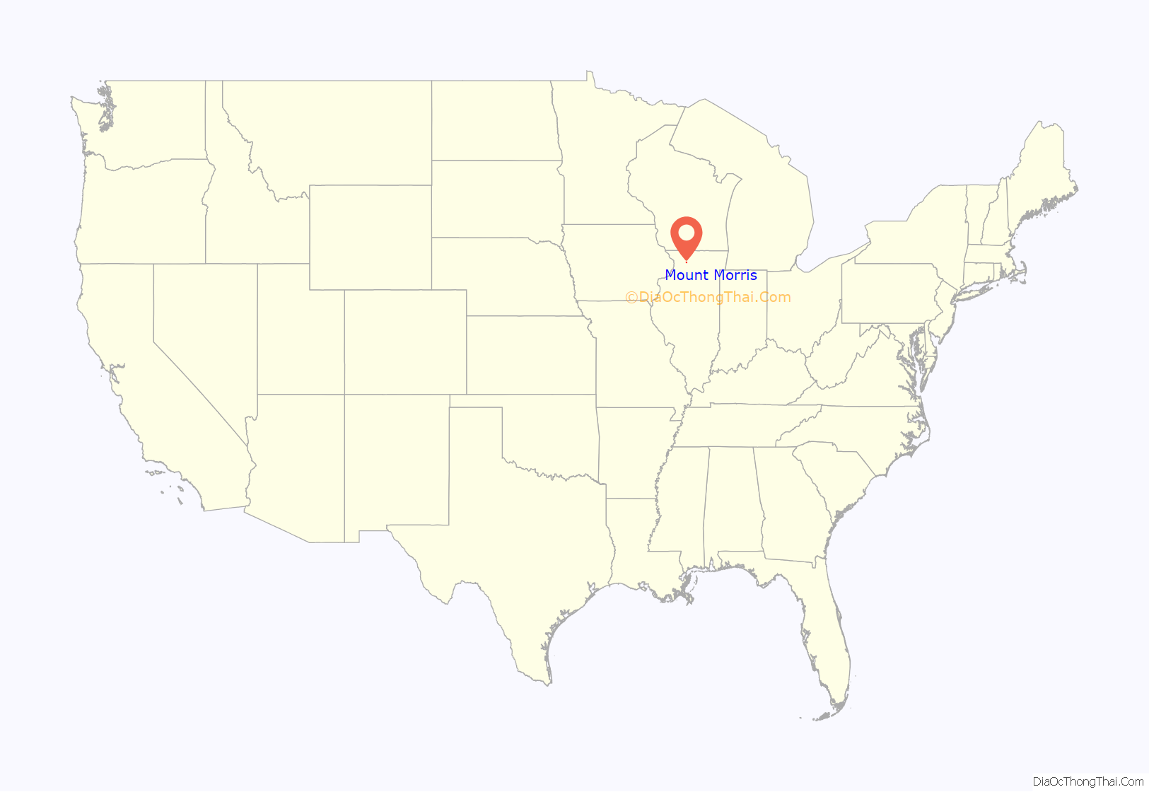
Mount Morris location map. Where is Mount Morris village?
History
Mt. Morris is home of the Illinois Freedom Bell, which is located in the town square. The area that is now the town square used to be the campus of one of Illinois’ first institutes of higher learning, Mount Morris College. It was first a Methodist school and was later affiliated with the Church of the Brethren. The college closed due to hard economic times. The village’s old Junior High School, while undergoing demolition, caught fire and burned forcing the school district to be merged with the Oregon School District in 1993. On February 12, 2004, the Rahn Elementary School was lost to fire. This resulted in the reorganization of the Oregon School District. The former Oregon city elementary and middle schools were merged into a single elementary school. The Mt. Morris Highschool has since been used as the middle school for the district. The town is also home of a very large group of lustron homes in IL. These can be located on First street(5 houses),Hannah avenue(3 houses), and Sunset lane(5 houses). The town has a total of 18 lustrons. The houses were built here to meet a shortage of housing for a local printing company.
Mount Morris Road Map
Mount Morris city Satellite Map
Geography
Mount Morris is located at 42°2′51″N 89°26′2″W / 42.04750°N 89.43389°W / 42.04750; -89.43389 (42.047614, -89.433972).
According to the 2010 census, Mount Morris has a total area of 1.5 square miles (3.88 km), all land.
The village is crossed from east to west by Illinois Route 64. Route 64 continues eastward to Chicago and westward into Iowa, where is keeps its numeric designation.
See also
Map of Illinois State and its subdivision:- Adams
- Alexander
- Bond
- Boone
- Brown
- Bureau
- Calhoun
- Carroll
- Cass
- Champaign
- Christian
- Clark
- Clay
- Clinton
- Coles
- Cook
- Crawford
- Cumberland
- De Kalb
- De Witt
- Douglas
- Dupage
- Edgar
- Edwards
- Effingham
- Fayette
- Ford
- Franklin
- Fulton
- Gallatin
- Greene
- Grundy
- Hamilton
- Hancock
- Hardin
- Henderson
- Henry
- Iroquois
- Jackson
- Jasper
- Jefferson
- Jersey
- Jo Daviess
- Johnson
- Kane
- Kankakee
- Kendall
- Knox
- La Salle
- Lake
- Lake Michigan
- Lawrence
- Lee
- Livingston
- Logan
- Macon
- Macoupin
- Madison
- Marion
- Marshall
- Mason
- Massac
- McDonough
- McHenry
- McLean
- Menard
- Mercer
- Monroe
- Montgomery
- Morgan
- Moultrie
- Ogle
- Peoria
- Perry
- Piatt
- Pike
- Pope
- Pulaski
- Putnam
- Randolph
- Richland
- Rock Island
- Saint Clair
- Saline
- Sangamon
- Schuyler
- Scott
- Shelby
- Stark
- Stephenson
- Tazewell
- Union
- Vermilion
- Wabash
- Warren
- Washington
- Wayne
- White
- Whiteside
- Will
- Williamson
- Winnebago
- Woodford
- Alabama
- Alaska
- Arizona
- Arkansas
- California
- Colorado
- Connecticut
- Delaware
- District of Columbia
- Florida
- Georgia
- Hawaii
- Idaho
- Illinois
- Indiana
- Iowa
- Kansas
- Kentucky
- Louisiana
- Maine
- Maryland
- Massachusetts
- Michigan
- Minnesota
- Mississippi
- Missouri
- Montana
- Nebraska
- Nevada
- New Hampshire
- New Jersey
- New Mexico
- New York
- North Carolina
- North Dakota
- Ohio
- Oklahoma
- Oregon
- Pennsylvania
- Rhode Island
- South Carolina
- South Dakota
- Tennessee
- Texas
- Utah
- Vermont
- Virginia
- Washington
- West Virginia
- Wisconsin
- Wyoming
