Mount Pulaski is a city in Logan County, Illinois, United States. The population was 1,566 at the 2010 census, and 1,481 at a 2018 estimate. It is the home of the Mount Pulaski Courthouse State Historic Site. The city is named in honor of Polish Revolutionary War hero Casimir Pulaski. Mount Pulaski has one high school: Mount Pulaski High School, home of the Hilltoppers. The school colors are purple and gold (MPGS colors are blue and white). Mount Pulaski held the county seat of Logan County from 1848 to 1855.
| Name: | Mount Pulaski city |
|---|---|
| LSAD Code: | 25 |
| LSAD Description: | city (suffix) |
| State: | Illinois |
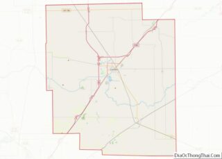
| County: | Logan County |
| Founded: | 1836 |
| Elevation: | 679 ft (207 m) |
| Total Area: | 1.13 sq mi (2.94 km²) |
| Land Area: | 1.13 sq mi (2.94 km²) |
| Water Area: | 0.00 sq mi (0.00 km²) |
| Total Population: | 1,537 |
| Population Density: | 1,355.38/sq mi (523.32/km²) |
| Area code: | 217 |
| FIPS code: | 1751128 |
| GNISfeature ID: | 2395124 |
| Website: | cityofmtpulaski.com |
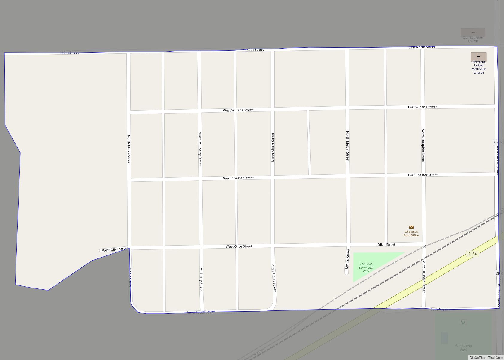
Online Interactive Map
Click on ![]() to view map in "full screen" mode.
to view map in "full screen" mode.
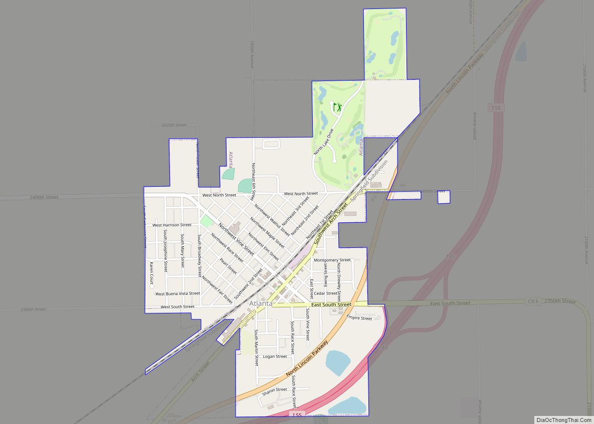
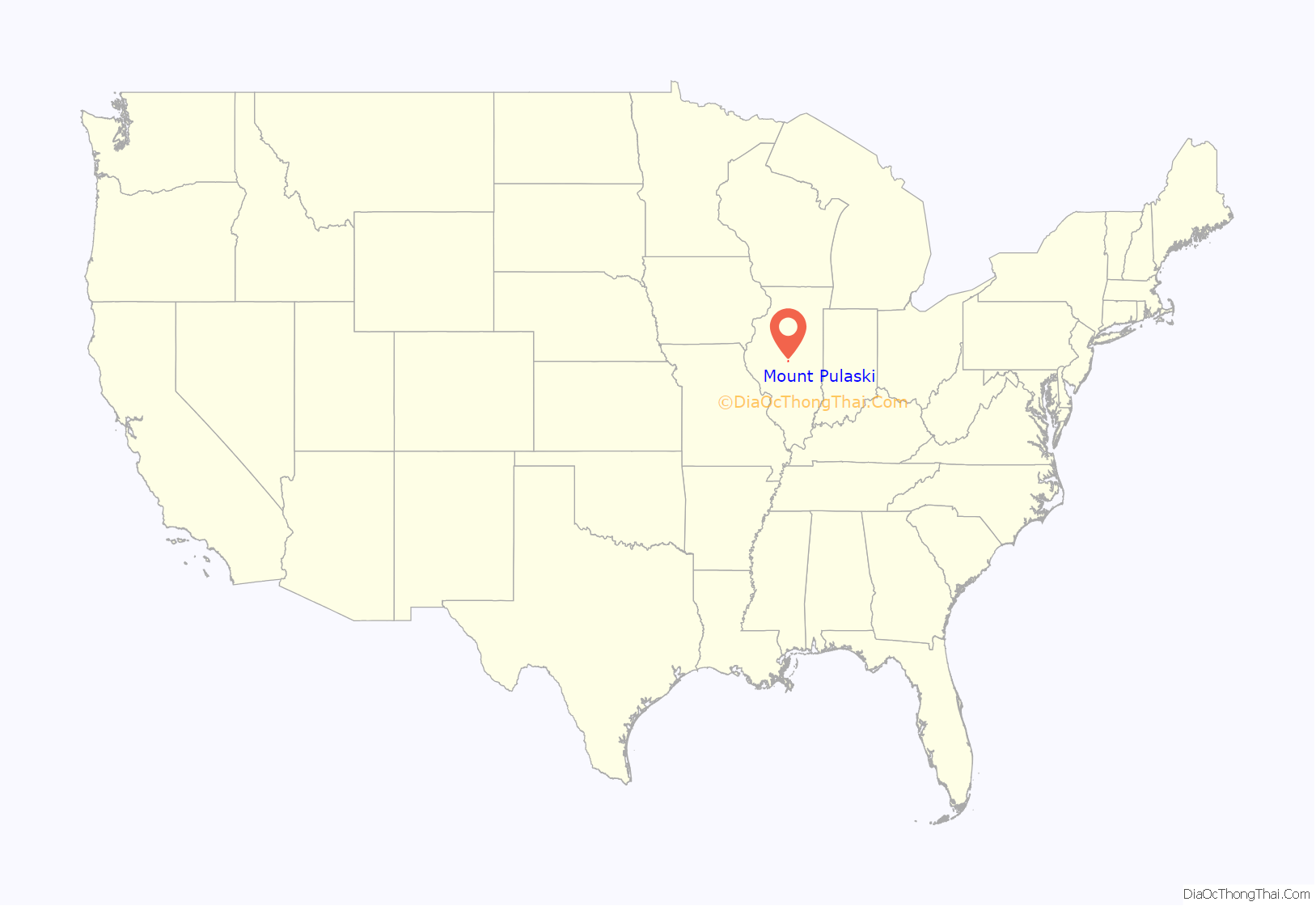
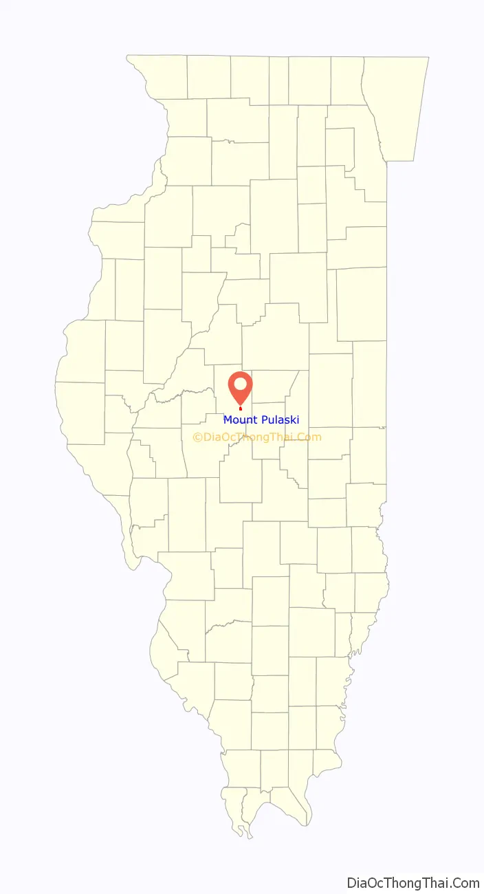
Mount Pulaski location map. Where is Mount Pulaski city?
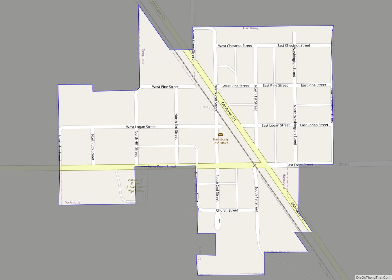
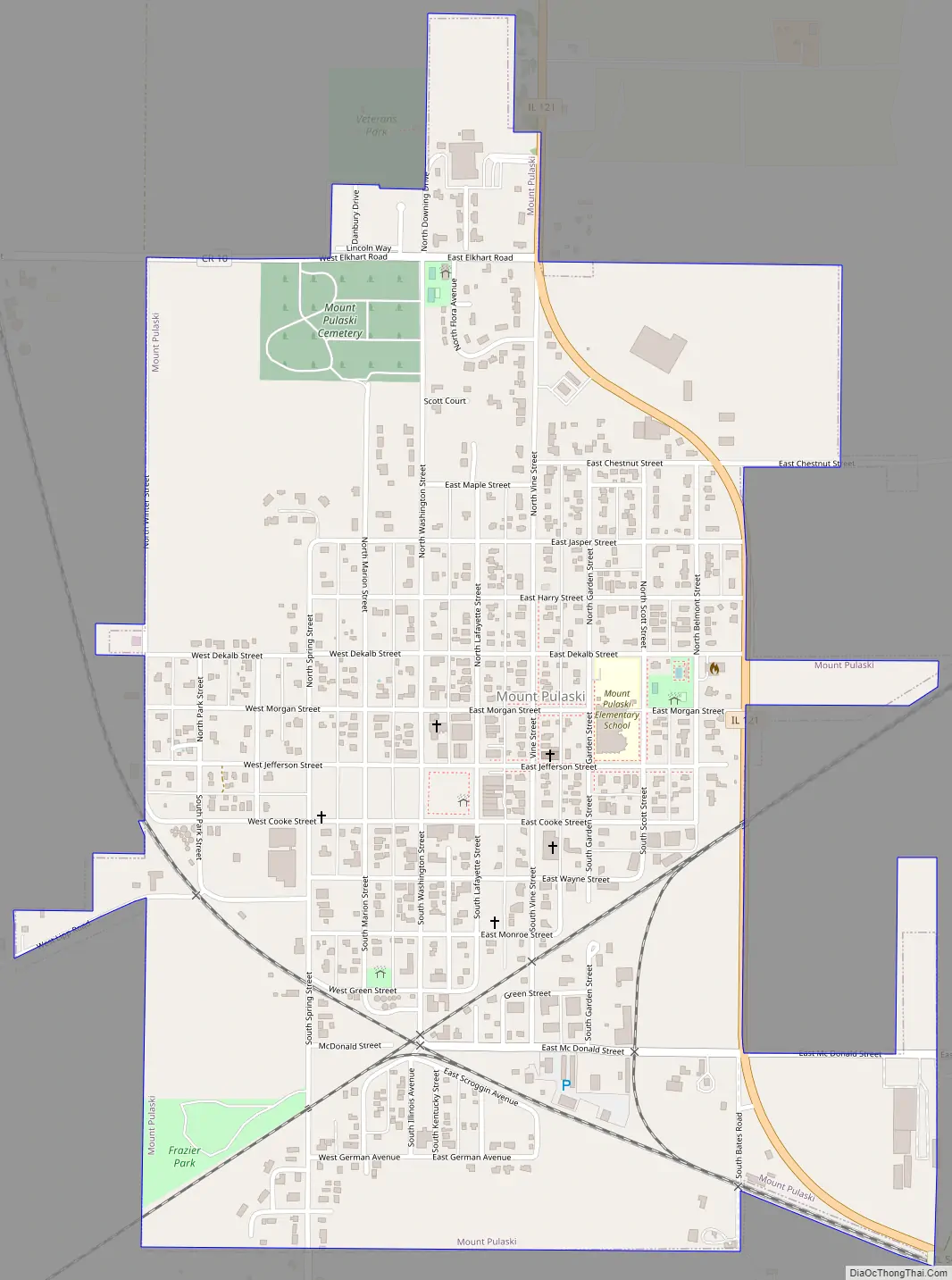
Mount Pulaski Road Map
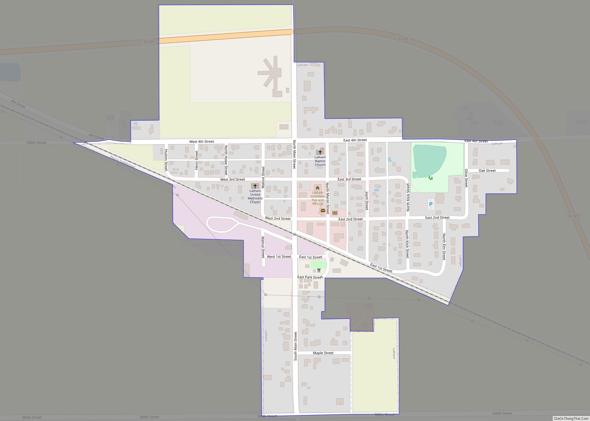
Mount Pulaski city Satellite Map
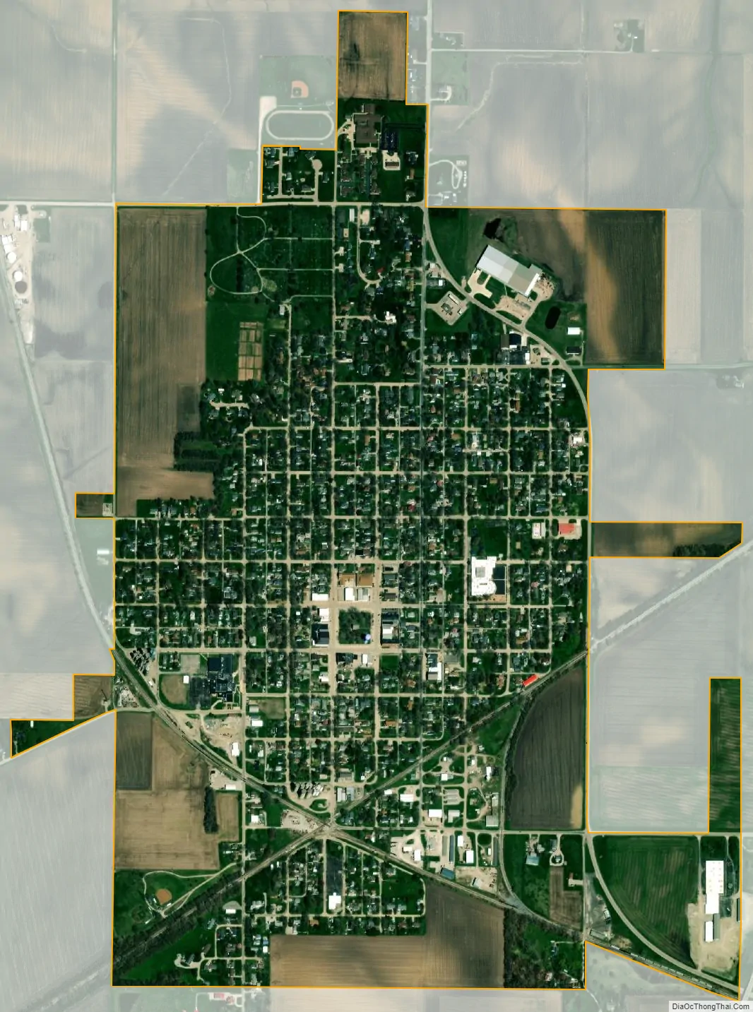
Geography
Mount Pulaski is located near the geographic center of the state.
Mount Pulaski sits atop a glacial ridge dating to the Illinoian period.
According to the 2010 census, Mount Pulaski has a total area of 1.13 square miles (2.93 km), all land.
See also
Map of Illinois State and its subdivision:- Adams
- Alexander
- Bond
- Boone
- Brown
- Bureau
- Calhoun
- Carroll
- Cass
- Champaign
- Christian
- Clark
- Clay
- Clinton
- Coles
- Cook
- Crawford
- Cumberland
- De Kalb
- De Witt
- Douglas
- Dupage
- Edgar
- Edwards
- Effingham
- Fayette
- Ford
- Franklin
- Fulton
- Gallatin
- Greene
- Grundy
- Hamilton
- Hancock
- Hardin
- Henderson
- Henry
- Iroquois
- Jackson
- Jasper
- Jefferson
- Jersey
- Jo Daviess
- Johnson
- Kane
- Kankakee
- Kendall
- Knox
- La Salle
- Lake
- Lake Michigan
- Lawrence
- Lee
- Livingston
- Logan
- Macon
- Macoupin
- Madison
- Marion
- Marshall
- Mason
- Massac
- McDonough
- McHenry
- McLean
- Menard
- Mercer
- Monroe
- Montgomery
- Morgan
- Moultrie
- Ogle
- Peoria
- Perry
- Piatt
- Pike
- Pope
- Pulaski
- Putnam
- Randolph
- Richland
- Rock Island
- Saint Clair
- Saline
- Sangamon
- Schuyler
- Scott
- Shelby
- Stark
- Stephenson
- Tazewell
- Union
- Vermilion
- Wabash
- Warren
- Washington
- Wayne
- White
- Whiteside
- Will
- Williamson
- Winnebago
- Woodford
- Alabama
- Alaska
- Arizona
- Arkansas
- California
- Colorado
- Connecticut
- Delaware
- District of Columbia
- Florida
- Georgia
- Hawaii
- Idaho
- Illinois
- Indiana
- Iowa
- Kansas
- Kentucky
- Louisiana
- Maine
- Maryland
- Massachusetts
- Michigan
- Minnesota
- Mississippi
- Missouri
- Montana
- Nebraska
- Nevada
- New Hampshire
- New Jersey
- New Mexico
- New York
- North Carolina
- North Dakota
- Ohio
- Oklahoma
- Oregon
- Pennsylvania
- Rhode Island
- South Carolina
- South Dakota
- Tennessee
- Texas
- Utah
- Vermont
- Virginia
- Washington
- West Virginia
- Wisconsin
- Wyoming