Nebo is a village in southern Pike County, Illinois, United States. The population was 340 at the 2010 census, a decline from 408 in 2000. Nebo has three churches scattered throughout the city limits.
| Name: | Nebo village |
|---|---|
| LSAD Code: | 47 |
| LSAD Description: | village (suffix) |
| State: | Illinois |
| County: | Pike County |
| Elevation: | 482 ft (147 m) |
| Total Area: | 0.44 sq mi (1.14 km²) |
| Land Area: | 0.43 sq mi (1.12 km²) |
| Water Area: | 0.01 sq mi (0.02 km²) |
| Total Population: | 282 |
| Population Density: | 649.77/sq mi (251.10/km²) |
| Area code: | 217 |
| FIPS code: | 1751882 |
| GNISfeature ID: | 2399440 |
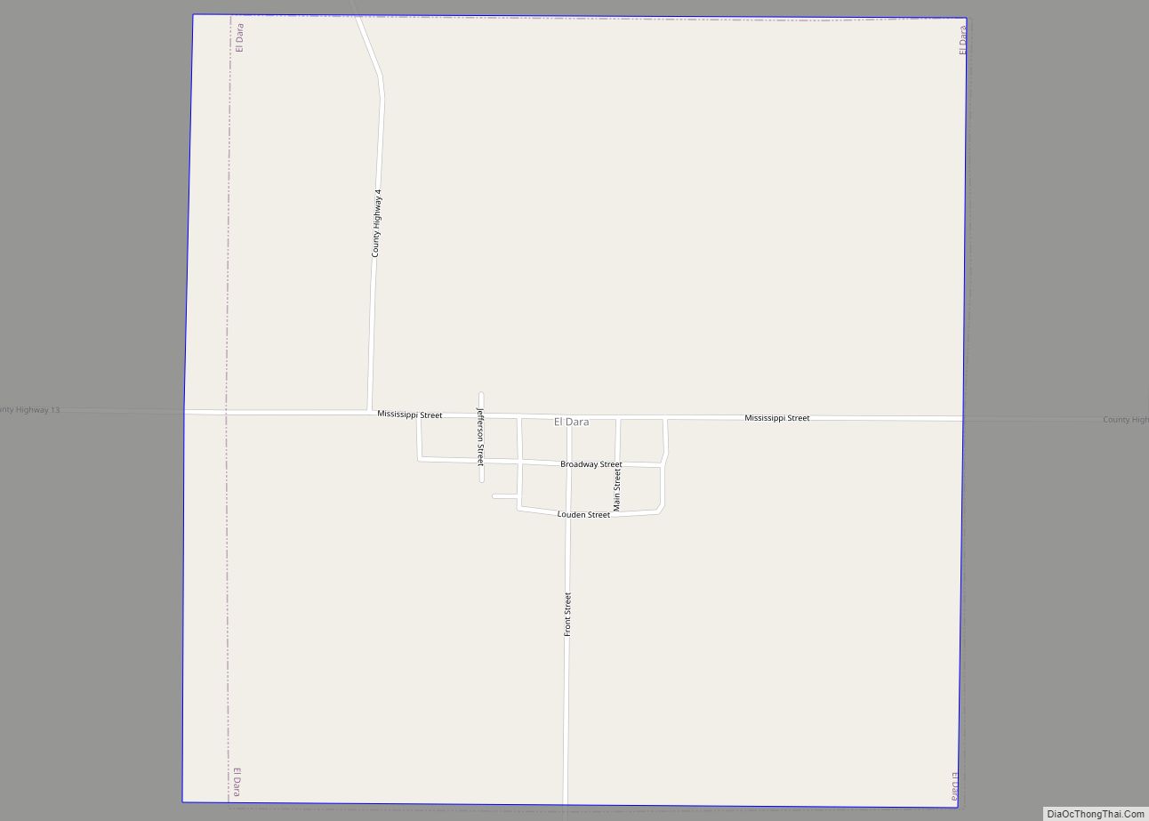
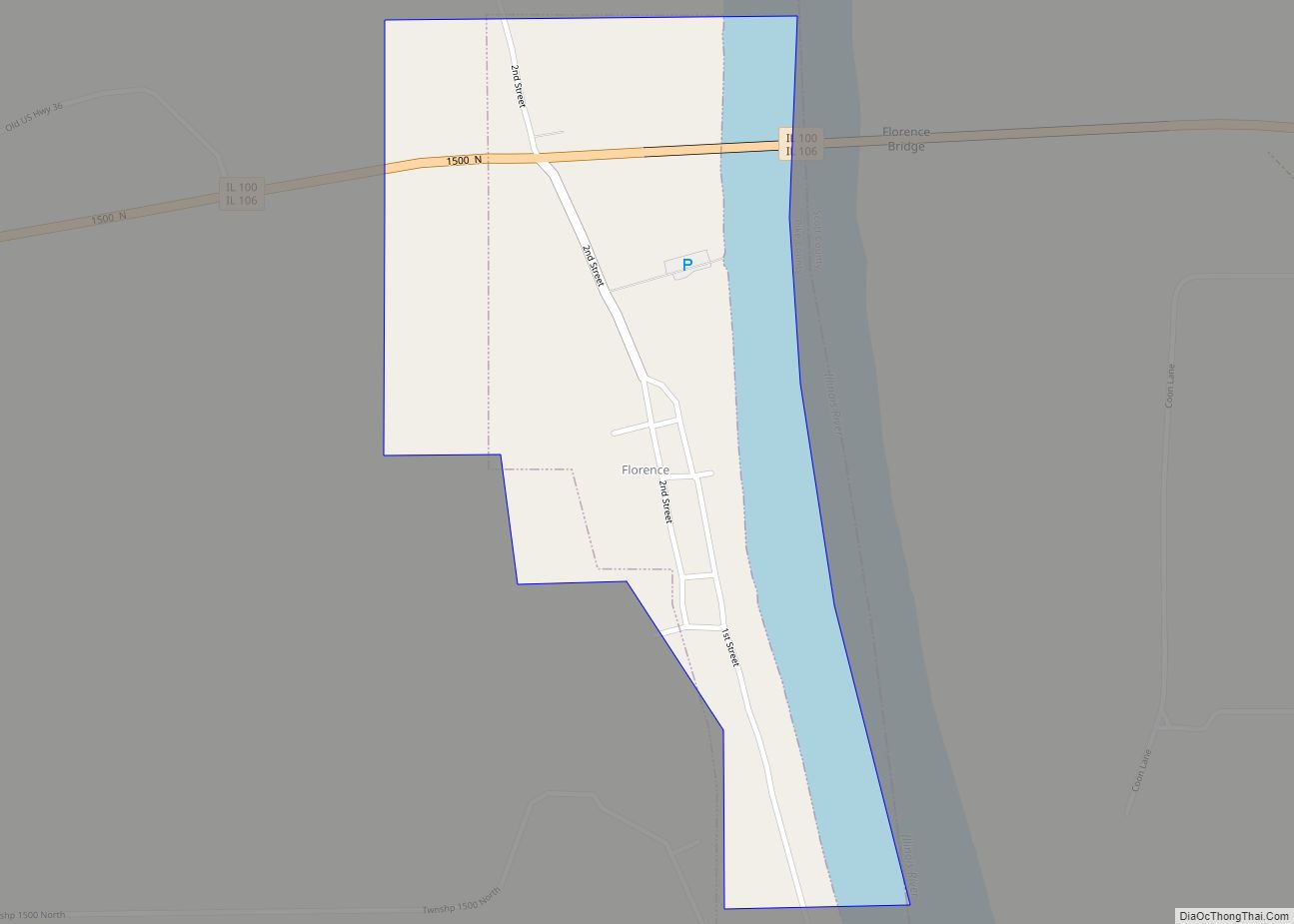
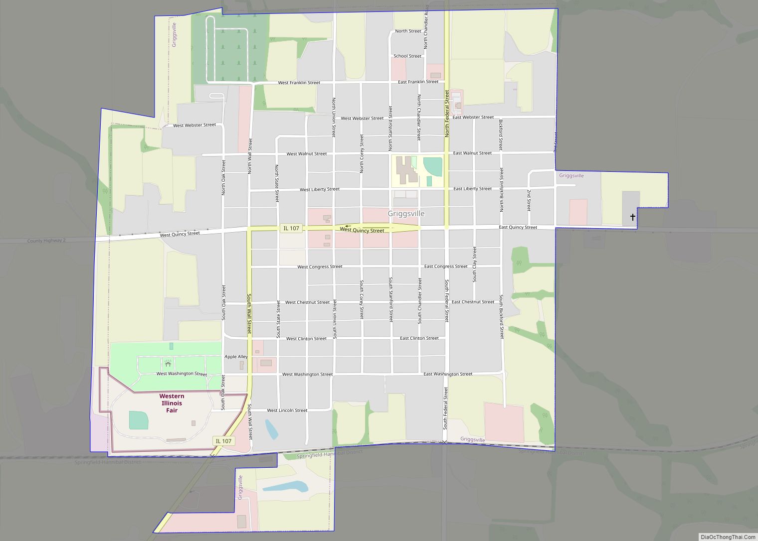
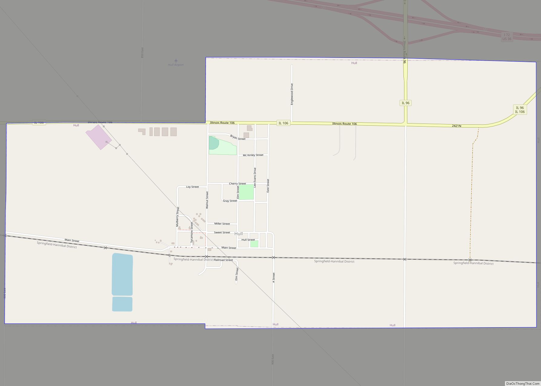
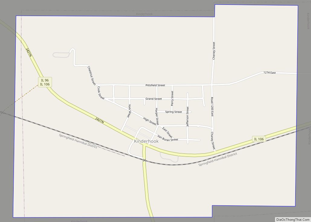
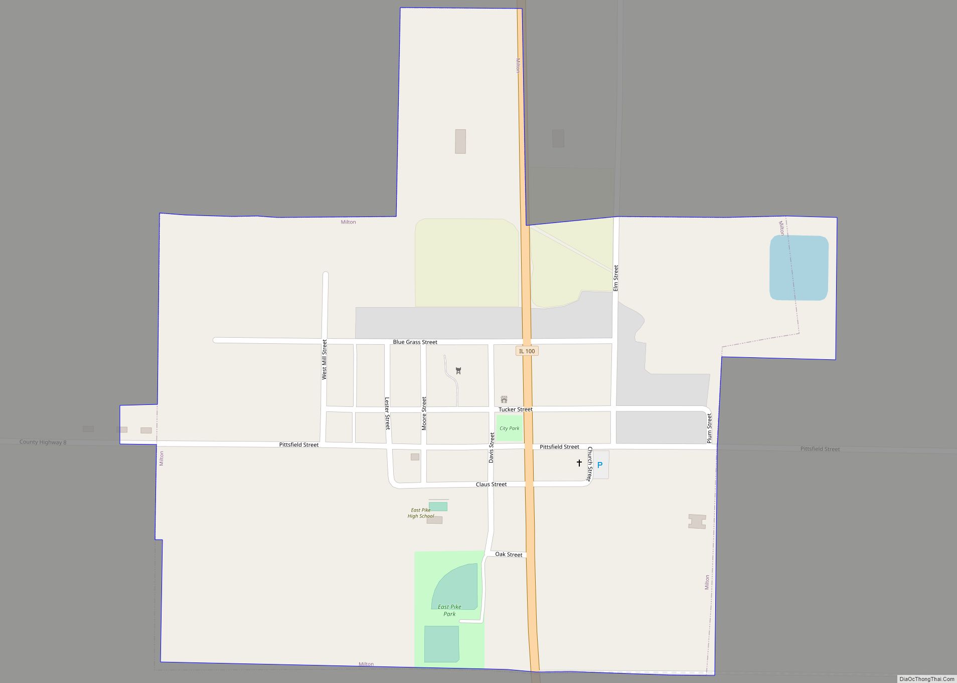
Online Interactive Map
Click on ![]() to view map in "full screen" mode.
to view map in "full screen" mode.
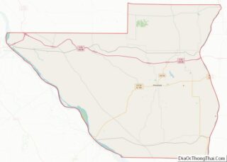
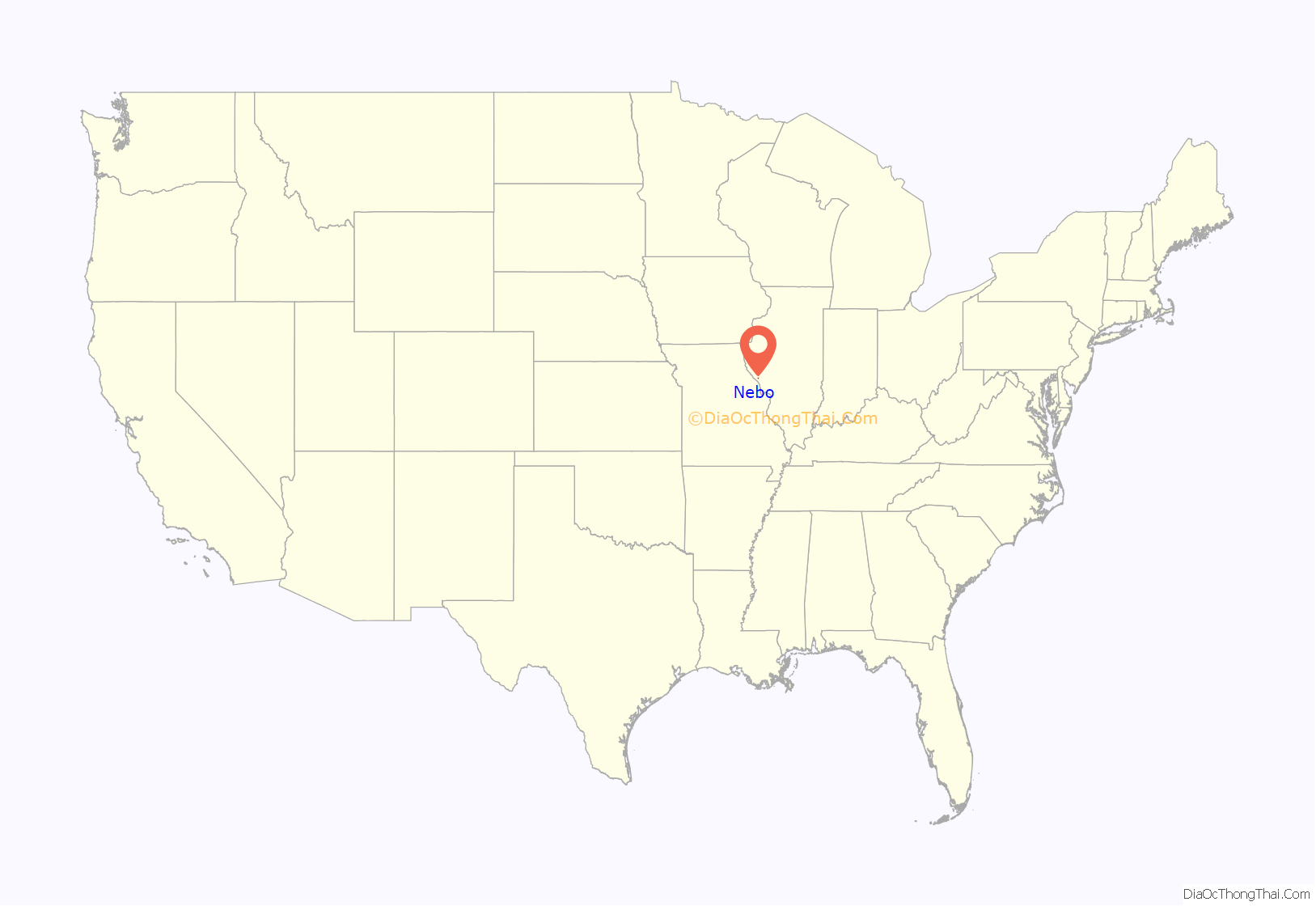
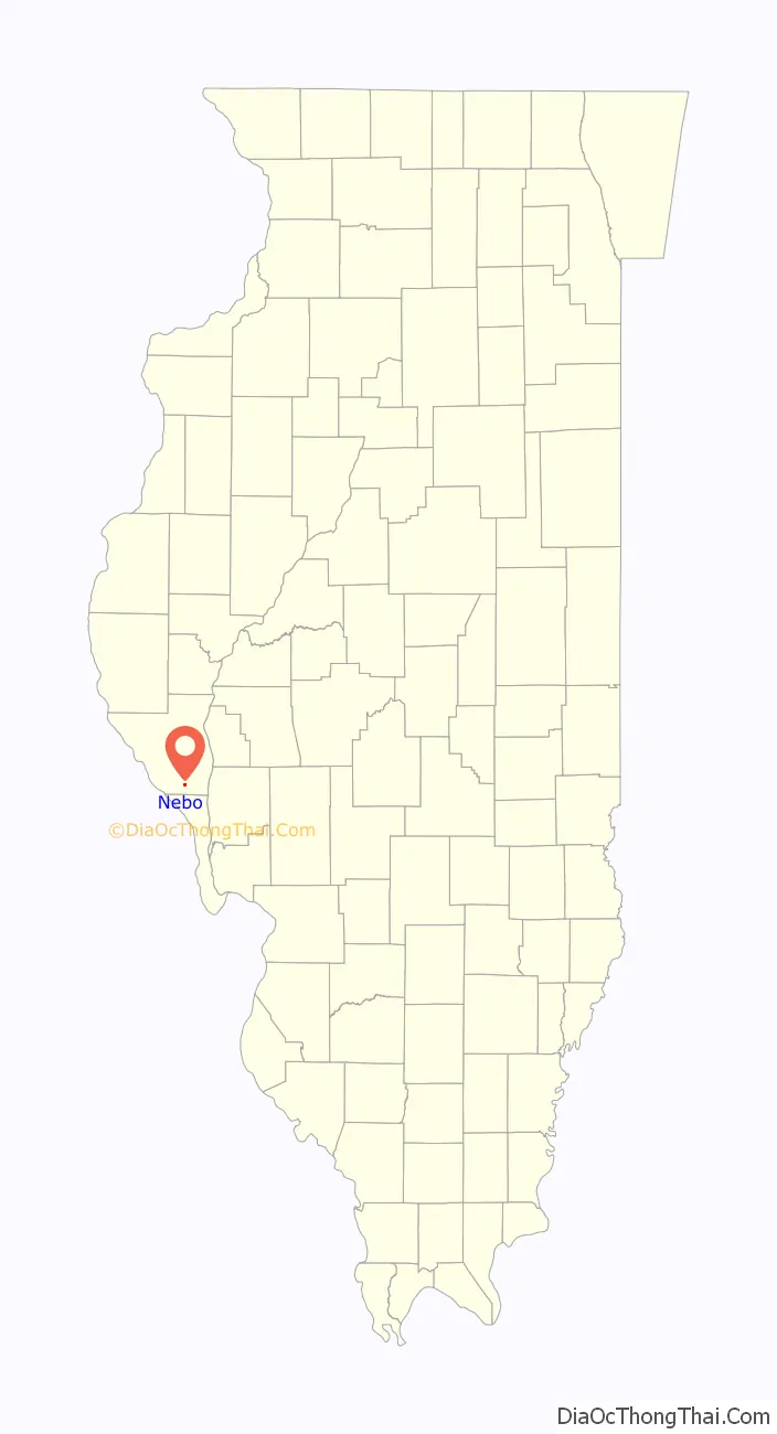
Nebo location map. Where is Nebo village?
History
The first settlement in this area was by Silas Wilson, in 1832. This settlement was made on a piece of land north of the present day town. The first child was born soon after in 1835. The first post office was established in December 1852. The term “Nebo” is mentioned at various times in the Bible, which may be the namesake. In the late 1860s, a railroad was completed across Illinois and the present day town was constructed around it. Articles of incorporation were signed and presented to the Illinois state legislature in the year 1894. In 1899, a fire destroyed the entire business district on Nebo. The famous Vin Fiz Flyer landed north of the town in 1911. A bank was established in 1946. William J. Thornton (1878-1951), Illinois state representative, businessman, and postmaster, lived in Nebo.
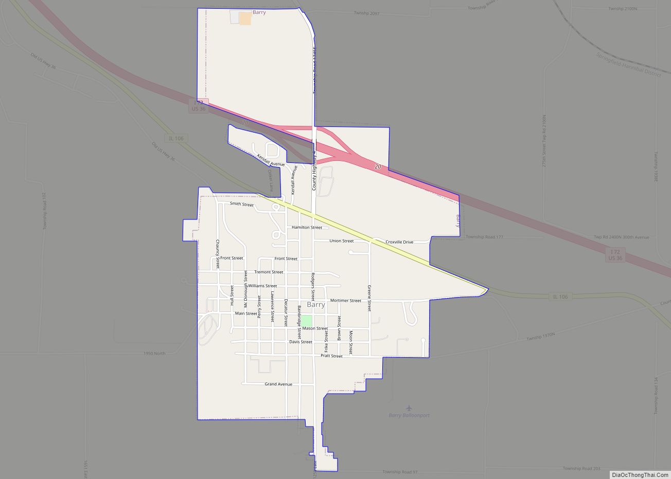
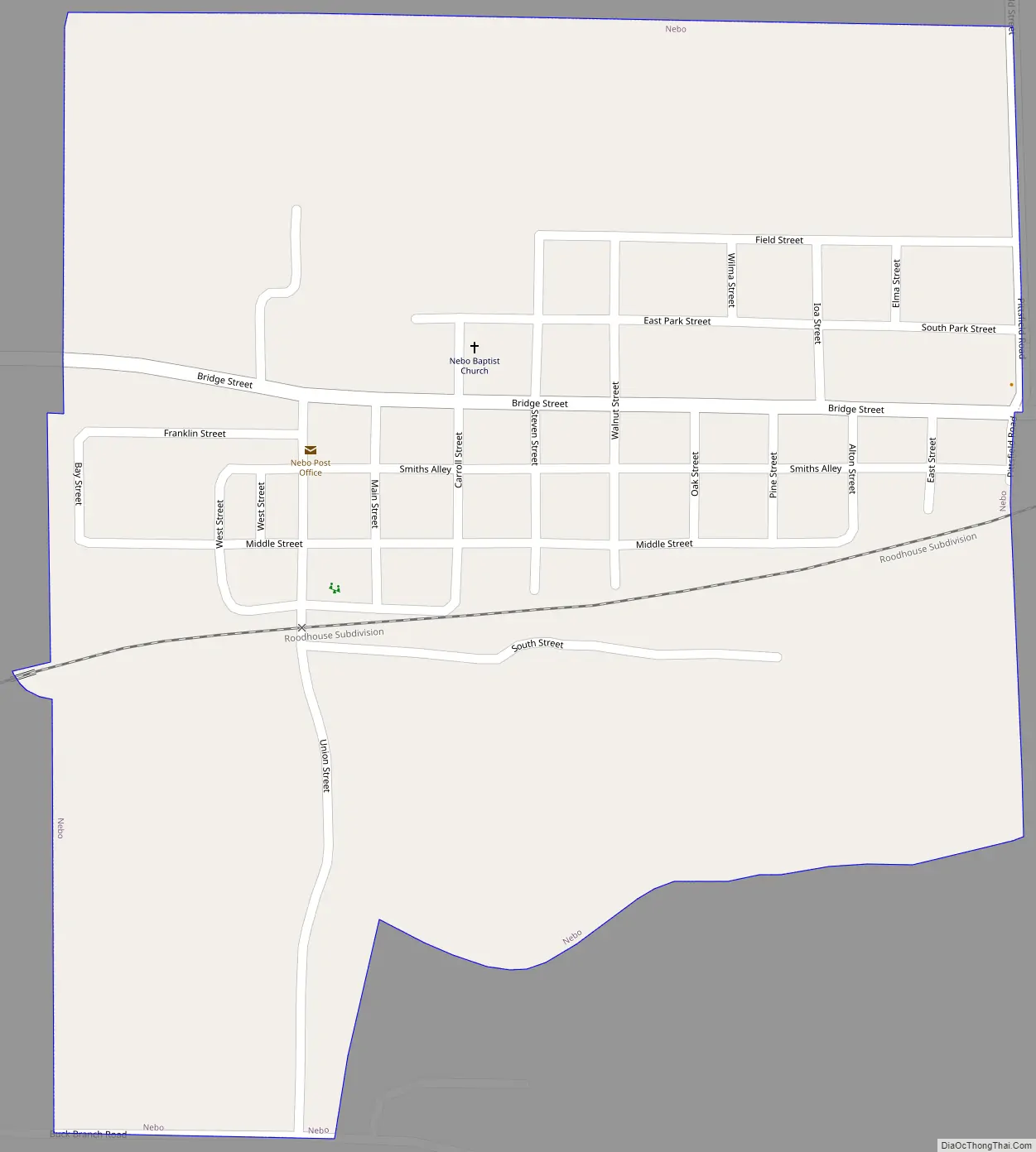
Nebo Road Map
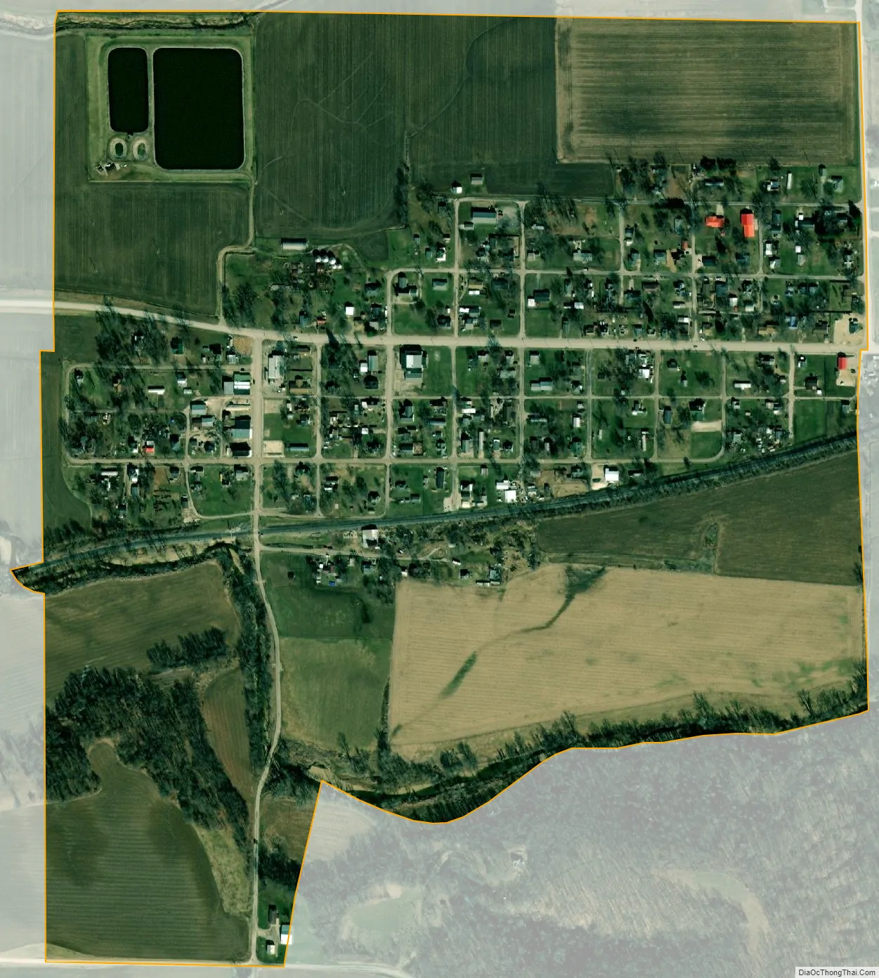
Nebo city Satellite Map
Geography
Nebo is located in Spring Creek Township at 39°26′32″N 90°47′15″W / 39.442147°N 90.787377°W / 39.442147; -90.787377.
According to the 2010 census, Nebo has a total area of 0.437 square miles (1.13 km), of which 0.43 square miles (1.11 km) (or 98.4%) is land and 0.007 square miles (0.02 km) (or 1.6%) is water.
See also
Map of Illinois State and its subdivision:- Adams
- Alexander
- Bond
- Boone
- Brown
- Bureau
- Calhoun
- Carroll
- Cass
- Champaign
- Christian
- Clark
- Clay
- Clinton
- Coles
- Cook
- Crawford
- Cumberland
- De Kalb
- De Witt
- Douglas
- Dupage
- Edgar
- Edwards
- Effingham
- Fayette
- Ford
- Franklin
- Fulton
- Gallatin
- Greene
- Grundy
- Hamilton
- Hancock
- Hardin
- Henderson
- Henry
- Iroquois
- Jackson
- Jasper
- Jefferson
- Jersey
- Jo Daviess
- Johnson
- Kane
- Kankakee
- Kendall
- Knox
- La Salle
- Lake
- Lake Michigan
- Lawrence
- Lee
- Livingston
- Logan
- Macon
- Macoupin
- Madison
- Marion
- Marshall
- Mason
- Massac
- McDonough
- McHenry
- McLean
- Menard
- Mercer
- Monroe
- Montgomery
- Morgan
- Moultrie
- Ogle
- Peoria
- Perry
- Piatt
- Pike
- Pope
- Pulaski
- Putnam
- Randolph
- Richland
- Rock Island
- Saint Clair
- Saline
- Sangamon
- Schuyler
- Scott
- Shelby
- Stark
- Stephenson
- Tazewell
- Union
- Vermilion
- Wabash
- Warren
- Washington
- Wayne
- White
- Whiteside
- Will
- Williamson
- Winnebago
- Woodford
- Alabama
- Alaska
- Arizona
- Arkansas
- California
- Colorado
- Connecticut
- Delaware
- District of Columbia
- Florida
- Georgia
- Hawaii
- Idaho
- Illinois
- Indiana
- Iowa
- Kansas
- Kentucky
- Louisiana
- Maine
- Maryland
- Massachusetts
- Michigan
- Minnesota
- Mississippi
- Missouri
- Montana
- Nebraska
- Nevada
- New Hampshire
- New Jersey
- New Mexico
- New York
- North Carolina
- North Dakota
- Ohio
- Oklahoma
- Oregon
- Pennsylvania
- Rhode Island
- South Carolina
- South Dakota
- Tennessee
- Texas
- Utah
- Vermont
- Virginia
- Washington
- West Virginia
- Wisconsin
- Wyoming