North Utica, often known as Utica, is a village in Utica Township, LaSalle County, Illinois. The population was 1,323 at the 2020 census. It is part of the Ottawa Micropolitan Statistical Area.
While North Utica is the proper name for the city, advertising on nearby Interstates 80 and 39 refers to the village by its original name, Utica. In addition, people who live in the area, official Interstate signage, and signs indicating the city limits all refer to the town as Utica.
| Name: | North Utica village |
|---|---|
| LSAD Code: | 47 |
| LSAD Description: | village (suffix) |
| State: | Illinois |
| County: | LaSalle County |
| Elevation: | 614 ft (187 m) |
| Total Area: | 3.47 sq mi (8.98 km²) |
| Land Area: | 3.46 sq mi (8.95 km²) |
| Water Area: | 0.01 sq mi (0.03 km²) |
| Total Population: | 1,323 |
| Population Density: | 382.92/sq mi (147.84/km²) |
| FIPS code: | 1754222 |
| GNISfeature ID: | 2399524 |
| Website: | www.utica-il.gov |
Online Interactive Map
Click on ![]() to view map in "full screen" mode.
to view map in "full screen" mode.
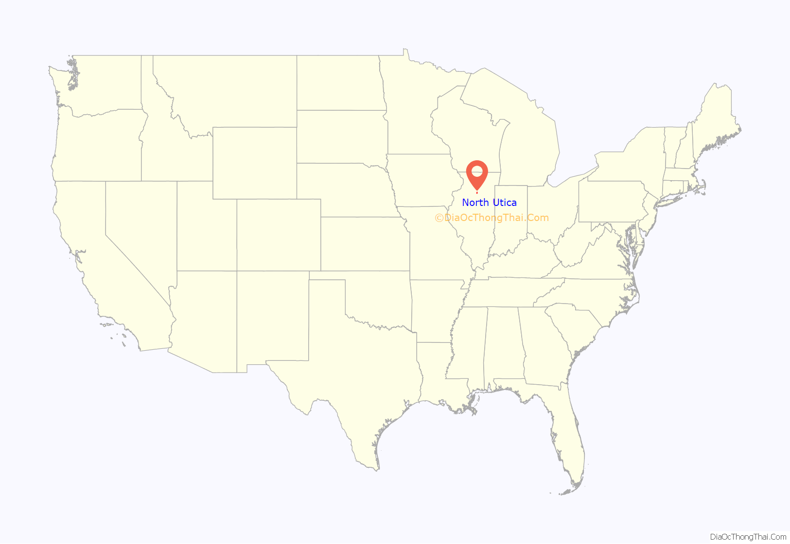
North Utica location map. Where is North Utica village?
History
The town of Utica had previously been established on the banks of the Illinois River near the Indian village of Kaskaskia during the 1830s, but flooding and the construction of the Illinois and Michigan Canal a few miles north encouraged redevelopment of the village there as North Utica.
2004 tornado
An F3 tornado struck Utica on April 20, 2004, heavily damaging the downtown business district, causing $8 million in damage and killing 8, with another indirect fatality officially recognized by the village.
Fire at Grand Bear Resort
A 2022 Memorial Day fire damaged twenty eight privately owned cabins near the entrance to Starved Rock State Park. The Grand Bear lodge, waterpark and a majority of the cabins and villas on site were not affected.
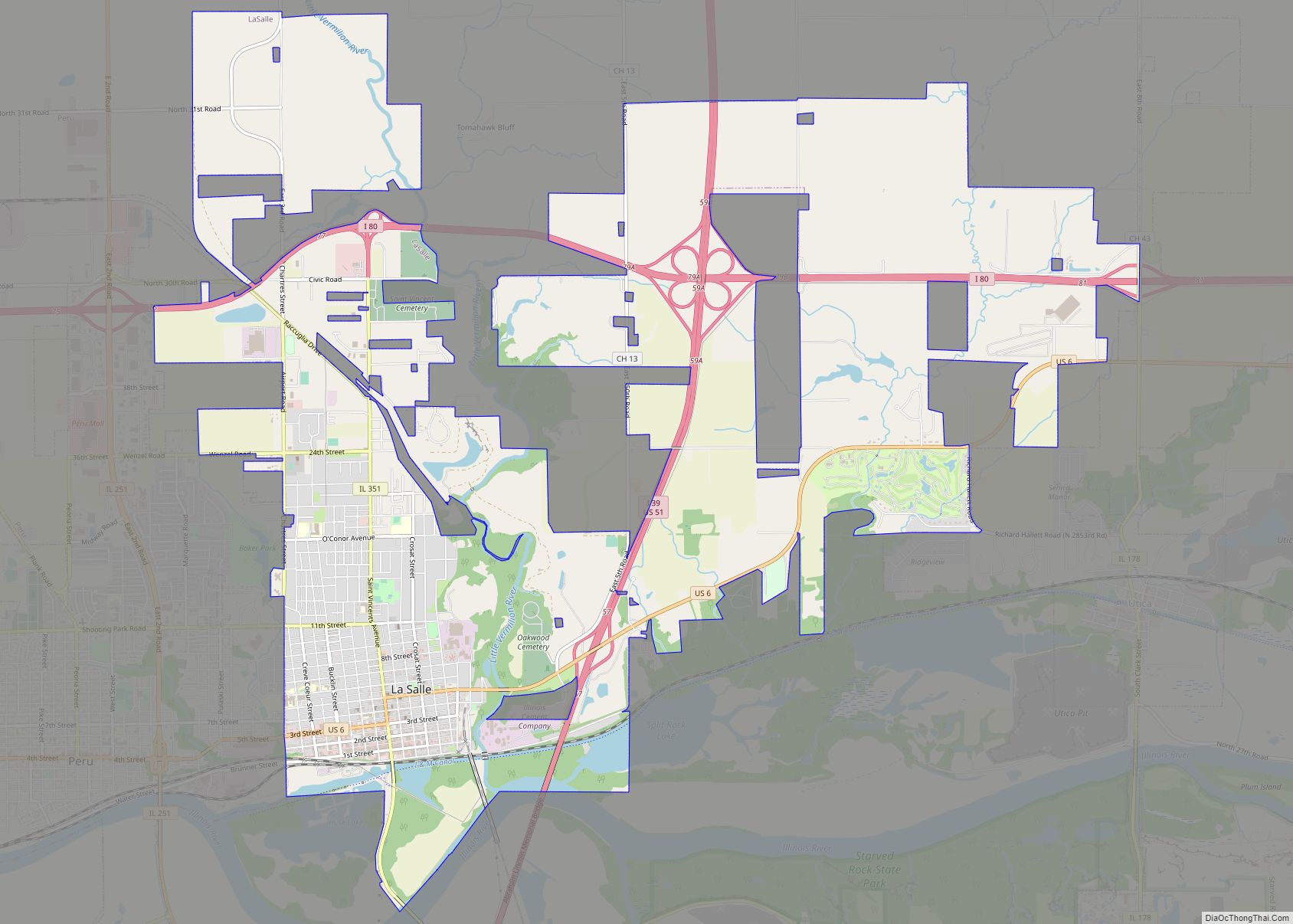
North Utica Road Map
North Utica city Satellite Map
Geography
According to the 2021 census gazetteer files, North Utica has a total area of 3.47 square miles (8.99 km), of which 3.46 square miles (8.96 km) (or 99.68%) is land and 0.01 square miles (0.03 km) (or 0.32%) is water.
See also
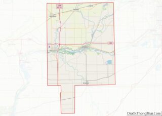
Map of Illinois State and its subdivision:- Adams
- Alexander
- Bond
- Boone
- Brown
- Bureau
- Calhoun
- Carroll
- Cass
- Champaign
- Christian
- Clark
- Clay
- Clinton
- Coles
- Cook
- Crawford
- Cumberland
- De Kalb
- De Witt
- Douglas
- Dupage
- Edgar
- Edwards
- Effingham
- Fayette
- Ford
- Franklin
- Fulton
- Gallatin
- Greene
- Grundy
- Hamilton
- Hancock
- Hardin
- Henderson
- Henry
- Iroquois
- Jackson
- Jasper
- Jefferson
- Jersey
- Jo Daviess
- Johnson
- Kane
- Kankakee
- Kendall
- Knox
- La Salle
- Lake
- Lake Michigan
- Lawrence
- Lee
- Livingston
- Logan
- Macon
- Macoupin
- Madison
- Marion
- Marshall
- Mason
- Massac
- McDonough
- McHenry
- McLean
- Menard
- Mercer
- Monroe
- Montgomery
- Morgan
- Moultrie
- Ogle
- Peoria
- Perry
- Piatt
- Pike
- Pope
- Pulaski
- Putnam
- Randolph
- Richland
- Rock Island
- Saint Clair
- Saline
- Sangamon
- Schuyler
- Scott
- Shelby
- Stark
- Stephenson
- Tazewell
- Union
- Vermilion
- Wabash
- Warren
- Washington
- Wayne
- White
- Whiteside
- Will
- Williamson
- Winnebago
- Woodford
- Alabama
- Alaska
- Arizona
- Arkansas
- California
- Colorado
- Connecticut
- Delaware
- District of Columbia
- Florida
- Georgia
- Hawaii
- Idaho
- Illinois
- Indiana
- Iowa
- Kansas
- Kentucky
- Louisiana
- Maine
- Maryland
- Massachusetts
- Michigan
- Minnesota
- Mississippi
- Missouri
- Montana
- Nebraska
- Nevada
- New Hampshire
- New Jersey
- New Mexico
- New York
- North Carolina
- North Dakota
- Ohio
- Oklahoma
- Oregon
- Pennsylvania
- Rhode Island
- South Carolina
- South Dakota
- Tennessee
- Texas
- Utah
- Vermont
- Virginia
- Washington
- West Virginia
- Wisconsin
- Wyoming
