Oglesby is a city in LaSalle County, Illinois, United States. The population was 3,712 at the 2020 census, down from 3,791 at the 2010 census. It is part of the Ottawa Micropolitan Statistical Area.
| Name: | Oglesby city |
|---|---|
| LSAD Code: | 25 |
| LSAD Description: | city (suffix) |
| State: | Illinois |
| County: | LaSalle County |
| Elevation: | 637 ft (194 m) |
| Total Area: | 4.99 sq mi (12.93 km²) |
| Land Area: | 4.99 sq mi (12.93 km²) |
| Water Area: | 0.00 sq mi (0.00 km²) |
| Total Population: | 3,712 |
| Population Density: | 743.59/sq mi (287.11/km²) |
| Area code: | 815 |
| FIPS code: | 1755353 |
| GNISfeature ID: | 2395310 |
| Website: | www.oglesby.il.us |
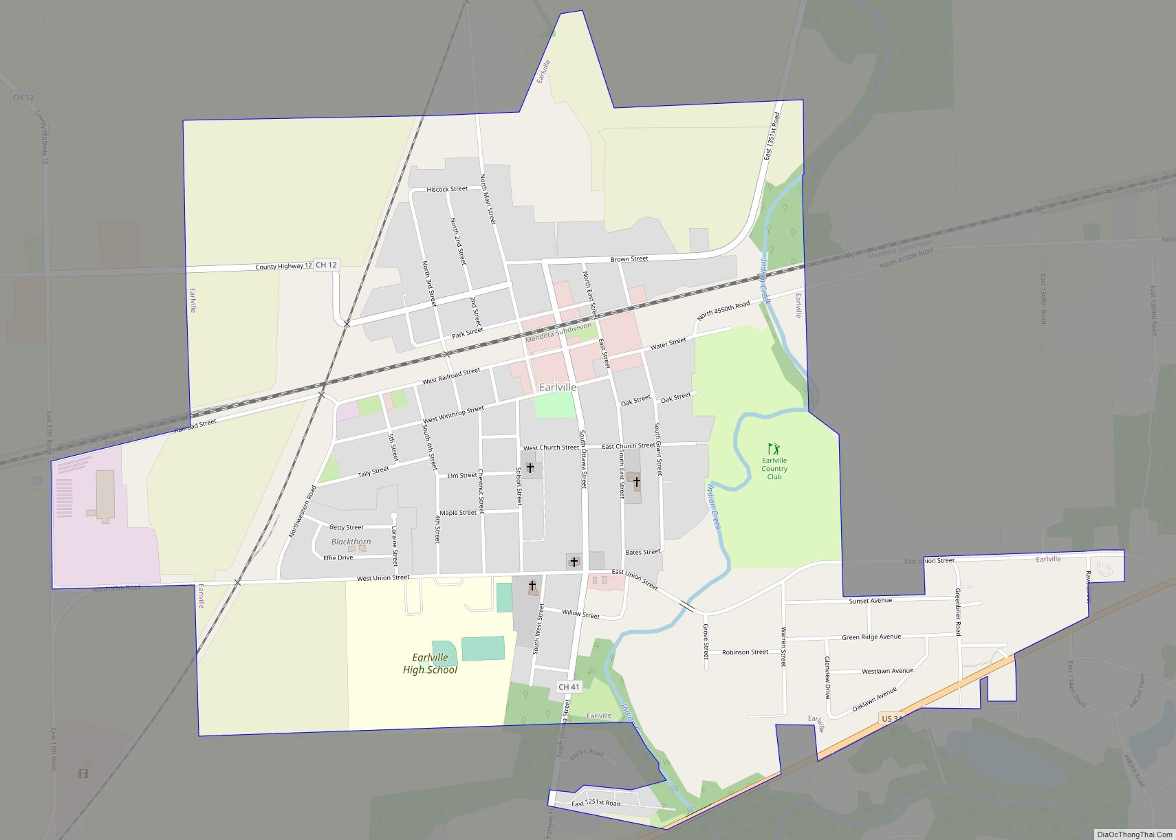
Online Interactive Map
Click on ![]() to view map in "full screen" mode.
to view map in "full screen" mode.
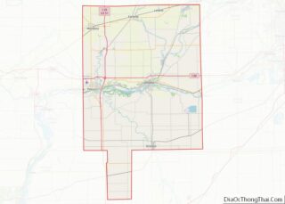
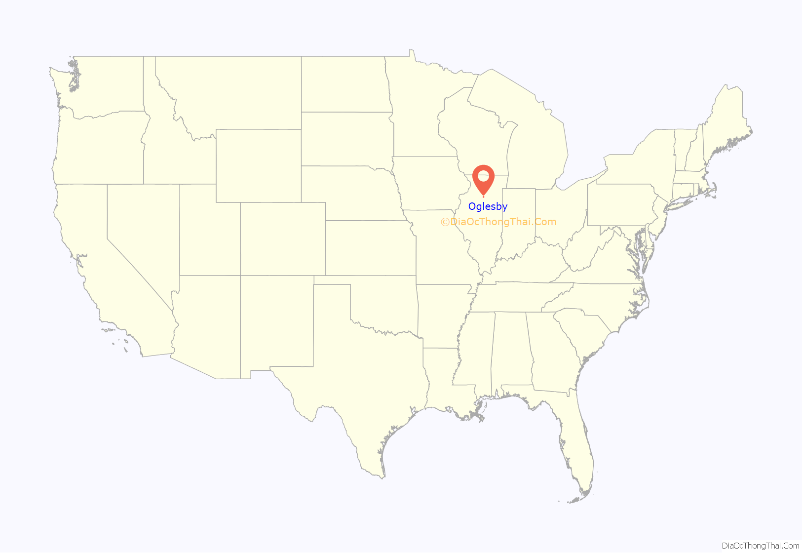
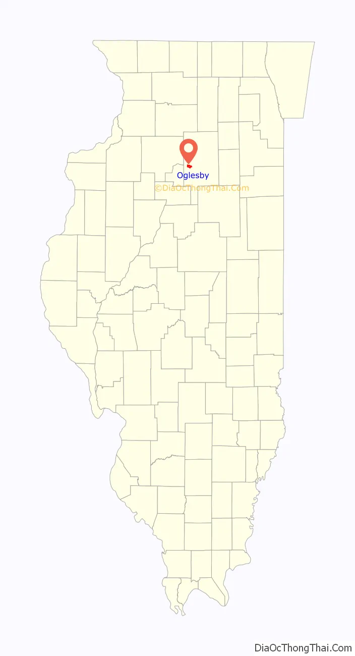
Oglesby location map. Where is Oglesby city?
History
Oglesby was a center for mining coal, limestone, and silica, located near the confluence of the Illinois River and the north-flowing Vermilion River. Oglesby grew from an amalgamation of several mining villages, such as Kenosha, Portland, and Black Hollow. It was originally called Portland, due to the cement mined and manufactured in the area that was similar to Portland Cement from England. It was renamed in 1913 after the coal company and in honor of Richard J. Oglesby (1824–1899), a former U.S. Senator and three-time Governor of Illinois.
During the Civil War, the Kenosha Coal Company sank a coal mining shaft at Oglesby in 1865. Thatcher Tucker Bent purchased the mine and mineral rights as the Oglesby Coal Company. The mine was innovative and the Bents were very involved in the development of the community. Mrs. Josephine Bent even organized English classes for the immigrant miner’s wives. The Marquette Cement Company mined limestone and claimed that the Bent’s mine was causing collapses. The conflict eventually liquidated the Oglesby Coal Company, with the Bent selling the machinery to Marquette and auctioning off the farm animals. The Black Hollow Mine was dug in the 1890s as a slope mine along the Vermilion River. It provided coal to its owners, the Illinois Zinc Company in Peru, Illinois.
The surface ground layers around Oglesby had excellent exposed limestone and coal; Oglesby also had adequate riverine transport. It soon became an important center for cement manufacture. Before open-pit mining there were several subsurface cement mines:
- Illinois Clay Products Mine, 1913–1924
- Reynolds Clay Mine
- Marquette Cement Mine
As well as several coal mines:
- Jones Mine, 1865–1930
- Oglesby Mine, 1865–1919
- Deer Park Mine, 1900–1920
- Black Hollow Mine, circa 1890s
State parks
Matthiessen State Park and Starved Rock State Park are located a few miles east on Illinois State Route 178. With over two million visitors a year, Starved Rock is the most visited of any Illinois state park.
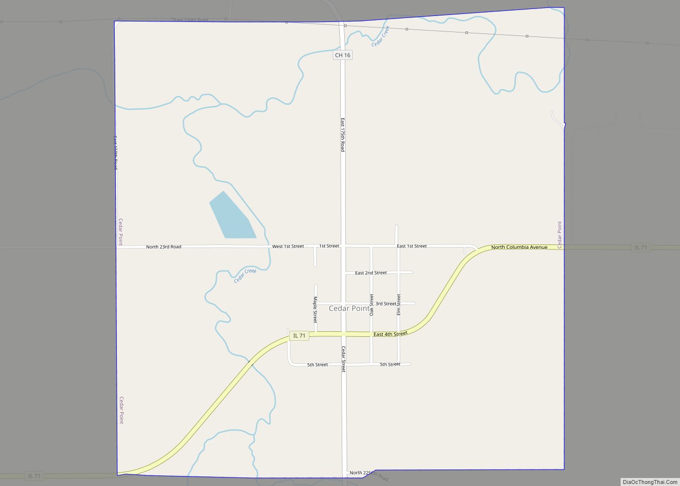
Oglesby Road Map
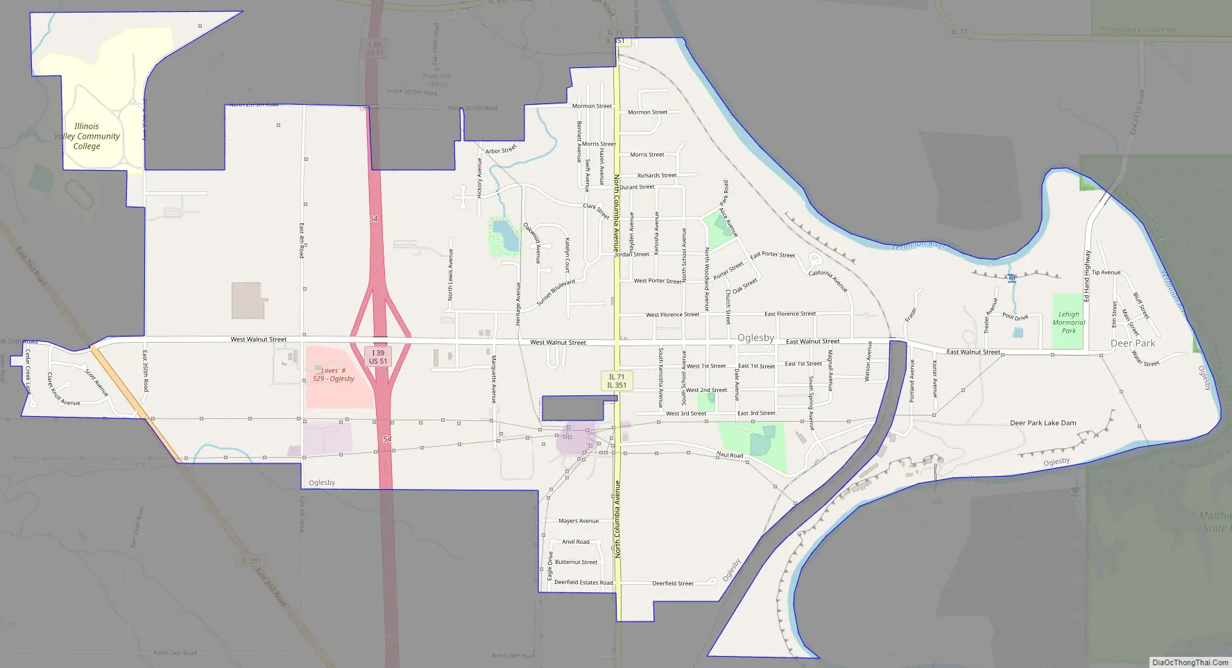
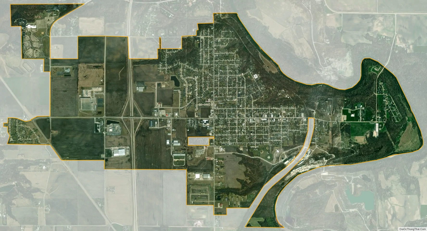
Oglesby city Satellite Map
Geography
According to the 2010 census, Oglesby has a total area of 4.11 square miles (10.64 km), all land.
See also
Map of Illinois State and its subdivision:- Adams
- Alexander
- Bond
- Boone
- Brown
- Bureau
- Calhoun
- Carroll
- Cass
- Champaign
- Christian
- Clark
- Clay
- Clinton
- Coles
- Cook
- Crawford
- Cumberland
- De Kalb
- De Witt
- Douglas
- Dupage
- Edgar
- Edwards
- Effingham
- Fayette
- Ford
- Franklin
- Fulton
- Gallatin
- Greene
- Grundy
- Hamilton
- Hancock
- Hardin
- Henderson
- Henry
- Iroquois
- Jackson
- Jasper
- Jefferson
- Jersey
- Jo Daviess
- Johnson
- Kane
- Kankakee
- Kendall
- Knox
- La Salle
- Lake
- Lake Michigan
- Lawrence
- Lee
- Livingston
- Logan
- Macon
- Macoupin
- Madison
- Marion
- Marshall
- Mason
- Massac
- McDonough
- McHenry
- McLean
- Menard
- Mercer
- Monroe
- Montgomery
- Morgan
- Moultrie
- Ogle
- Peoria
- Perry
- Piatt
- Pike
- Pope
- Pulaski
- Putnam
- Randolph
- Richland
- Rock Island
- Saint Clair
- Saline
- Sangamon
- Schuyler
- Scott
- Shelby
- Stark
- Stephenson
- Tazewell
- Union
- Vermilion
- Wabash
- Warren
- Washington
- Wayne
- White
- Whiteside
- Will
- Williamson
- Winnebago
- Woodford
- Alabama
- Alaska
- Arizona
- Arkansas
- California
- Colorado
- Connecticut
- Delaware
- District of Columbia
- Florida
- Georgia
- Hawaii
- Idaho
- Illinois
- Indiana
- Iowa
- Kansas
- Kentucky
- Louisiana
- Maine
- Maryland
- Massachusetts
- Michigan
- Minnesota
- Mississippi
- Missouri
- Montana
- Nebraska
- Nevada
- New Hampshire
- New Jersey
- New Mexico
- New York
- North Carolina
- North Dakota
- Ohio
- Oklahoma
- Oregon
- Pennsylvania
- Rhode Island
- South Carolina
- South Dakota
- Tennessee
- Texas
- Utah
- Vermont
- Virginia
- Washington
- West Virginia
- Wisconsin
- Wyoming