Ransom is a village in LaSalle County, Illinois, United States. The population was 308 at the 2020 census, down from 384 at the 2010 census. It is part of the Ottawa Micropolitan Statistical Area. It is part of the subregion known as Streatorland.
| Name: | Ransom village |
|---|---|
| LSAD Code: | 47 |
| LSAD Description: | village (suffix) |
| State: | Illinois |
| County: | LaSalle County |
| Founded: | 1885 |
| Elevation: | 709 ft (216 m) |
| Total Area: | 1.00 sq mi (2.59 km²) |
| Land Area: | 1.00 sq mi (2.59 km²) |
| Water Area: | 0.00 sq mi (0.00 km²) |
| Total Population: | 308 |
| Population Density: | 308.31/sq mi (119.00/km²) |
| Area code: | 815 |
| FIPS code: | 1762757 |
| GNISfeature ID: | 2399041 |
| Website: | www.villageofransom.com |
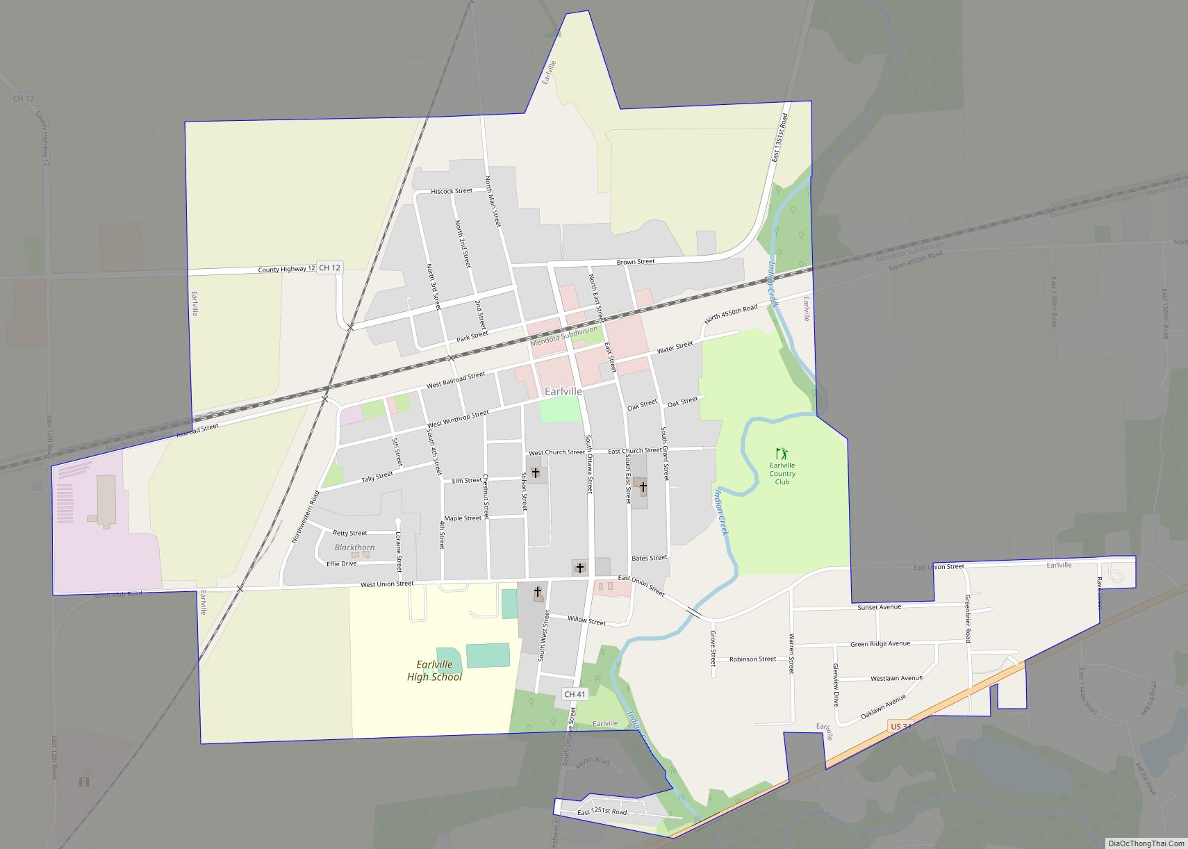
Online Interactive Map
Click on ![]() to view map in "full screen" mode.
to view map in "full screen" mode.
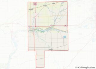
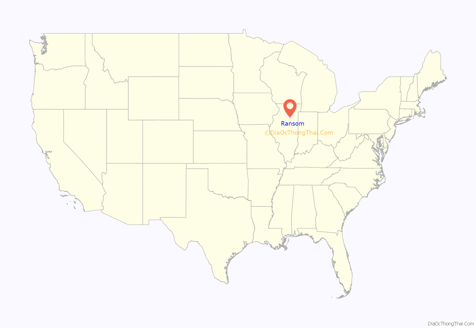
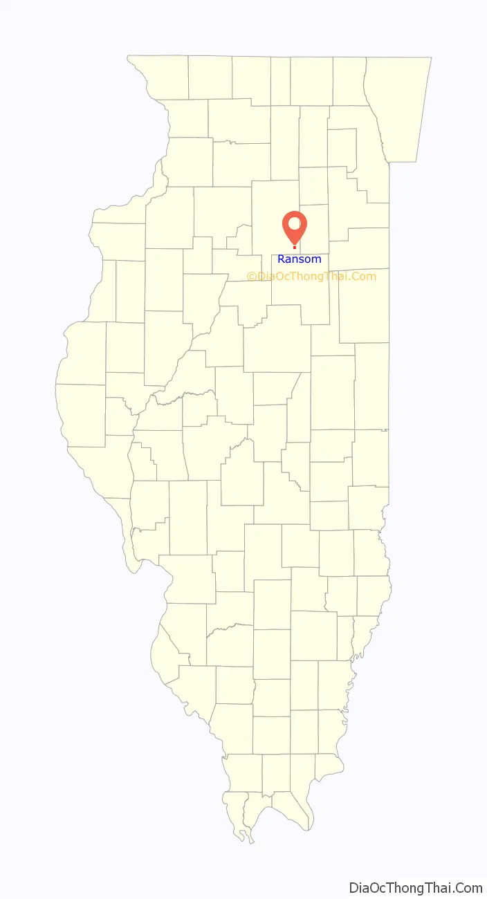
Ransom location map. Where is Ransom village?
History
Ransom was a planned community; ads were placed in the Streator Monitor as early as 1876 calling for shopkeepers, craftsmen, and tradesmen to locate and set up shop in the area. In 1885, the village of Ransom was officially incorporated. The earliest businesses in Ransom included a hotel, saloon, doctor, carpenter, pharmacist, grocery store, cash exchange and a blacksmith. On the edge of the newly developing business district a small wooden water tower was constructed. In 1892 a fire devastated the eastern side of the business district, stymieing the village’s growth and causing some business owners to close up shop forever.
After the fire, and much back and forth, the village constructed a new public waterworks with a 68 feet water tower at its center in 1896. The village flourished after the fire, eventually reaching a population peak of around 600 following World War II. On September 7, 1903 the first phone service reached Ransom, and AT&T opened a telegraph office in 1905. Between 1905–1910 the village constructed a sidewalk system. The first electric street lamps appeared on May 7, 1910 with the acquisition of a dozen electric street lamps from Illinois Valley Gas and Electric. Electricity gradually made its way into the homes of Ransom following the introduction of the street lamps.
Namesake
The village was named for American Civil War general Thomas E. G. Ransom, who was born in Vermont but lived as a young man in Illinois.
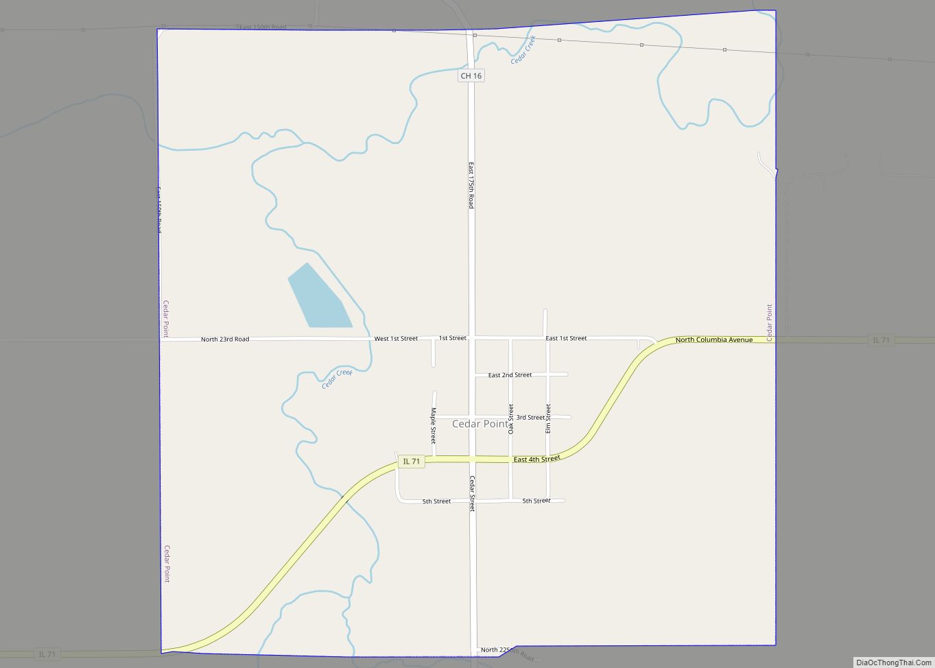
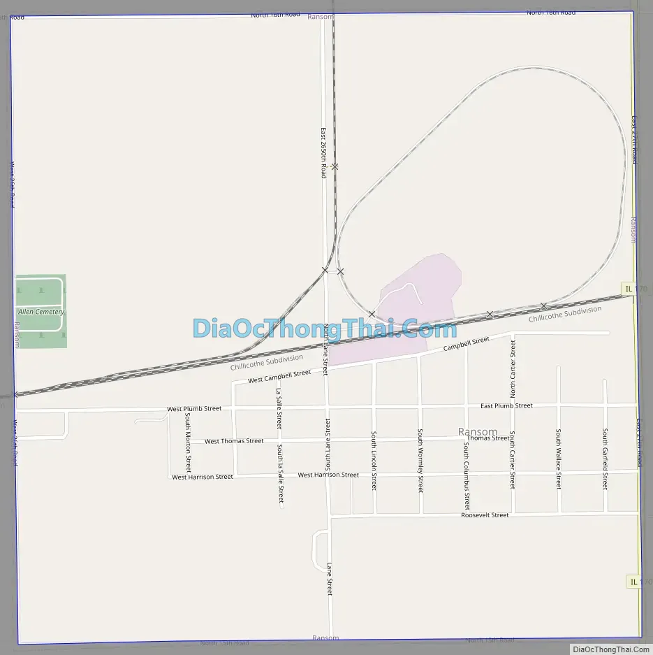
Ransom Road Map
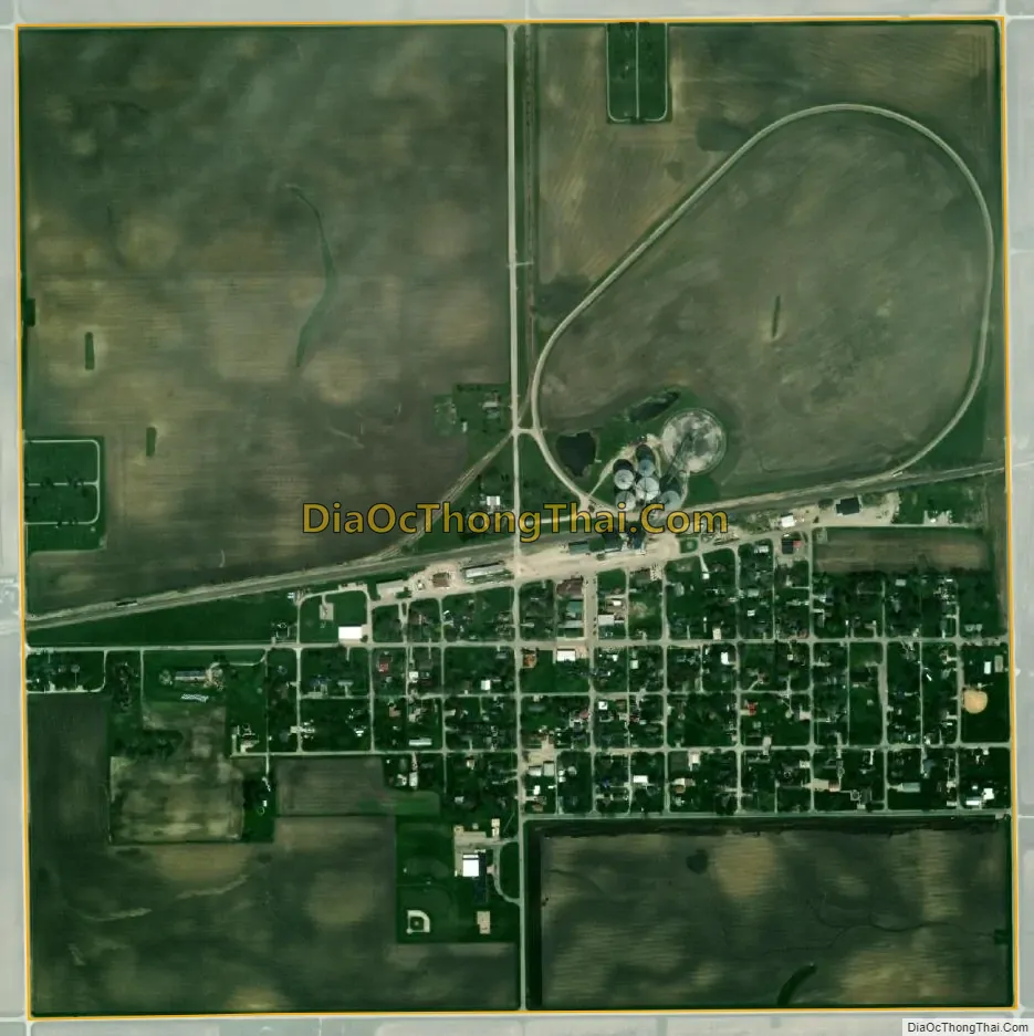
Ransom city Satellite Map
Geography
Ransom is located in southeastern LaSalle County at the center of Allen Township. Illinois Route 170 runs along the eastern border of the village, leading north 13 miles (21 km) to Seneca along the Illinois River, and south 20 miles (32 km) to Pontiac.
According to the 2021 census gazetteer files, Ransom has a total area of 1.00 square mile (2.59 km), all land.
See also
Map of Illinois State and its subdivision:- Adams
- Alexander
- Bond
- Boone
- Brown
- Bureau
- Calhoun
- Carroll
- Cass
- Champaign
- Christian
- Clark
- Clay
- Clinton
- Coles
- Cook
- Crawford
- Cumberland
- De Kalb
- De Witt
- Douglas
- Dupage
- Edgar
- Edwards
- Effingham
- Fayette
- Ford
- Franklin
- Fulton
- Gallatin
- Greene
- Grundy
- Hamilton
- Hancock
- Hardin
- Henderson
- Henry
- Iroquois
- Jackson
- Jasper
- Jefferson
- Jersey
- Jo Daviess
- Johnson
- Kane
- Kankakee
- Kendall
- Knox
- La Salle
- Lake
- Lake Michigan
- Lawrence
- Lee
- Livingston
- Logan
- Macon
- Macoupin
- Madison
- Marion
- Marshall
- Mason
- Massac
- McDonough
- McHenry
- McLean
- Menard
- Mercer
- Monroe
- Montgomery
- Morgan
- Moultrie
- Ogle
- Peoria
- Perry
- Piatt
- Pike
- Pope
- Pulaski
- Putnam
- Randolph
- Richland
- Rock Island
- Saint Clair
- Saline
- Sangamon
- Schuyler
- Scott
- Shelby
- Stark
- Stephenson
- Tazewell
- Union
- Vermilion
- Wabash
- Warren
- Washington
- Wayne
- White
- Whiteside
- Will
- Williamson
- Winnebago
- Woodford
- Alabama
- Alaska
- Arizona
- Arkansas
- California
- Colorado
- Connecticut
- Delaware
- District of Columbia
- Florida
- Georgia
- Hawaii
- Idaho
- Illinois
- Indiana
- Iowa
- Kansas
- Kentucky
- Louisiana
- Maine
- Maryland
- Massachusetts
- Michigan
- Minnesota
- Mississippi
- Missouri
- Montana
- Nebraska
- Nevada
- New Hampshire
- New Jersey
- New Mexico
- New York
- North Carolina
- North Dakota
- Ohio
- Oklahoma
- Oregon
- Pennsylvania
- Rhode Island
- South Carolina
- South Dakota
- Tennessee
- Texas
- Utah
- Vermont
- Virginia
- Washington
- West Virginia
- Wisconsin
- Wyoming