Seatonville is a village in Bureau County, Illinois, United States. The population was 321 at the 2020 census. It is part of the Ottawa Micropolitan Statistical Area.
| Name: | Seatonville village |
|---|---|
| LSAD Code: | 47 |
| LSAD Description: | village (suffix) |
| State: | Illinois |
| County: | Bureau County |
| Total Area: | 0.511 sq mi (1.32 km²) |
| Land Area: | 0.496 sq mi (1.28 km²) |
| Water Area: | 0.015 sq mi (0.04 km²) |
| Total Population: | 321 |
| Population Density: | 630/sq mi (240/km²) |
| Area code: | 815 |
| FIPS code: | 1768471 |
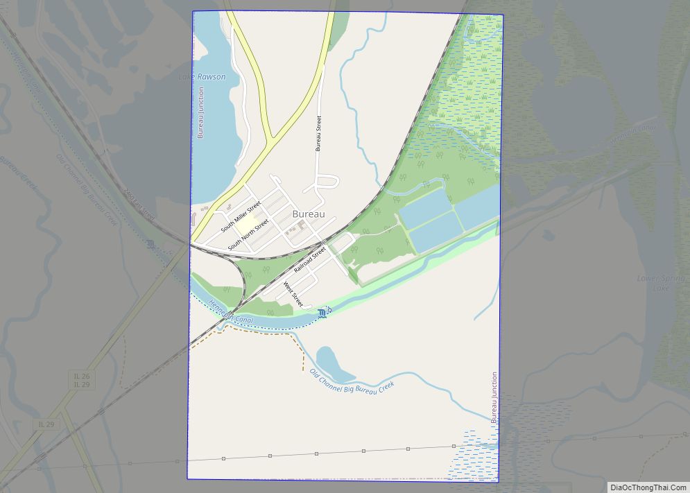
Online Interactive Map
Click on ![]() to view map in "full screen" mode.
to view map in "full screen" mode.
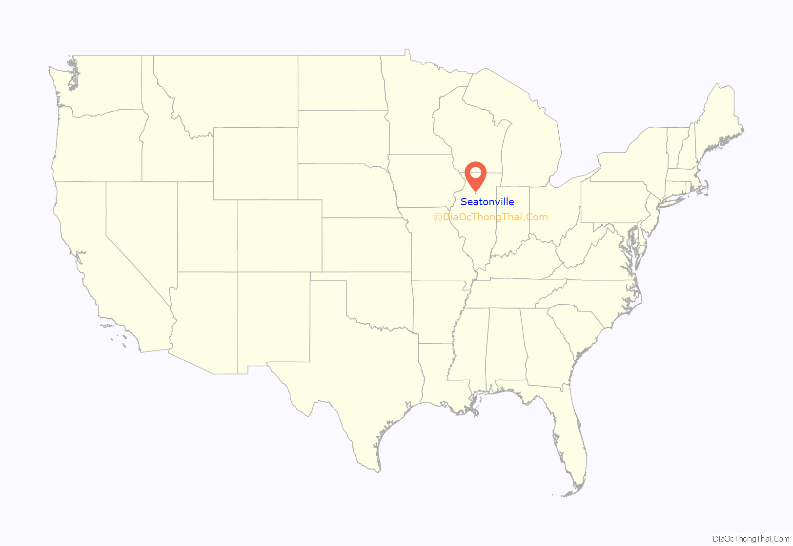
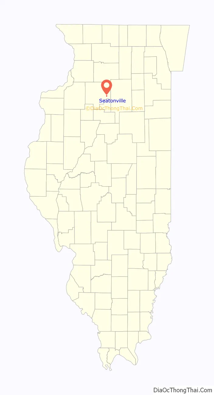
Seatonville location map. Where is Seatonville village?
History
A post office called Seatonville has been in operation since 1889, named for W. A. Seaton, an early settler.
The town is part of a constellation of coal mining towns centered on Spring Valley and LaSalle, Illinois. The Seaton brothers, Isom and James, sank the first coal mine shaft there in 1880. The mine was sold in 1888 to the Chicago, Wilmington, and Vermilion Coal Company based in Braidwood, Illinois. During the strike of 1889, it was the only mine operating in northern Illinois. A small community of African-Americans was brought in by the company to replace deserting miners.
The mine went bankrupt in 1900 and was purchased by the Spring Valley Coal Company. The town grew until the mine was closed in 1913.
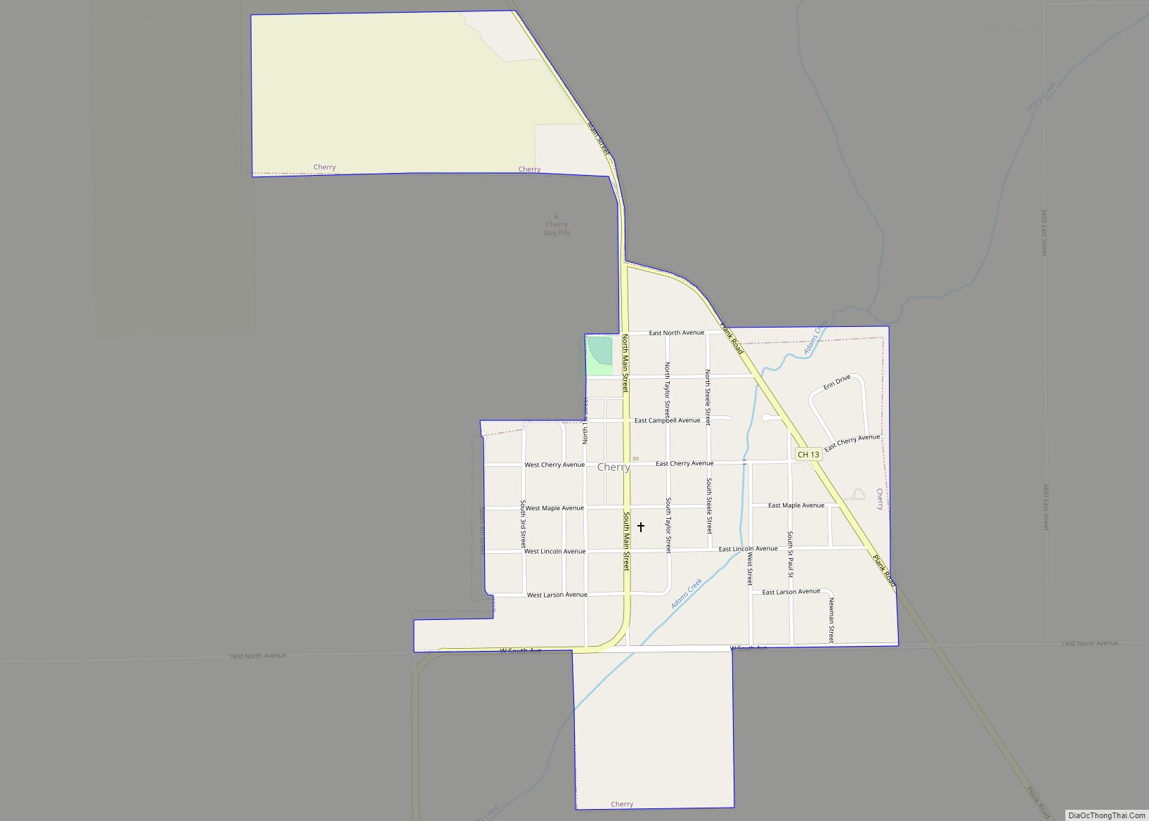
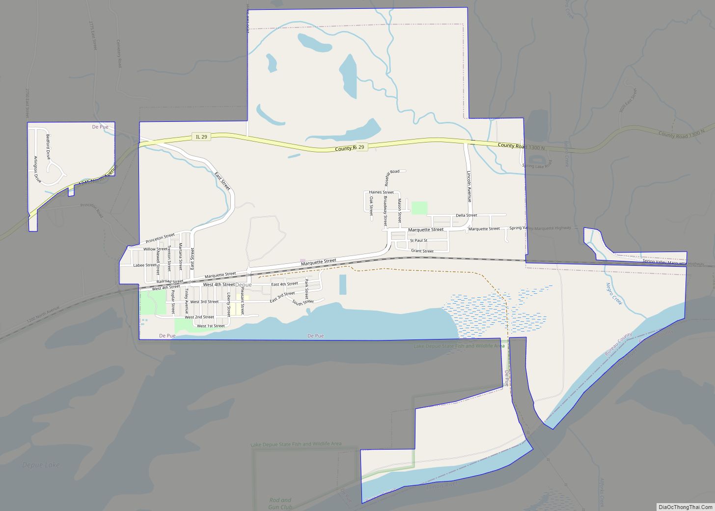
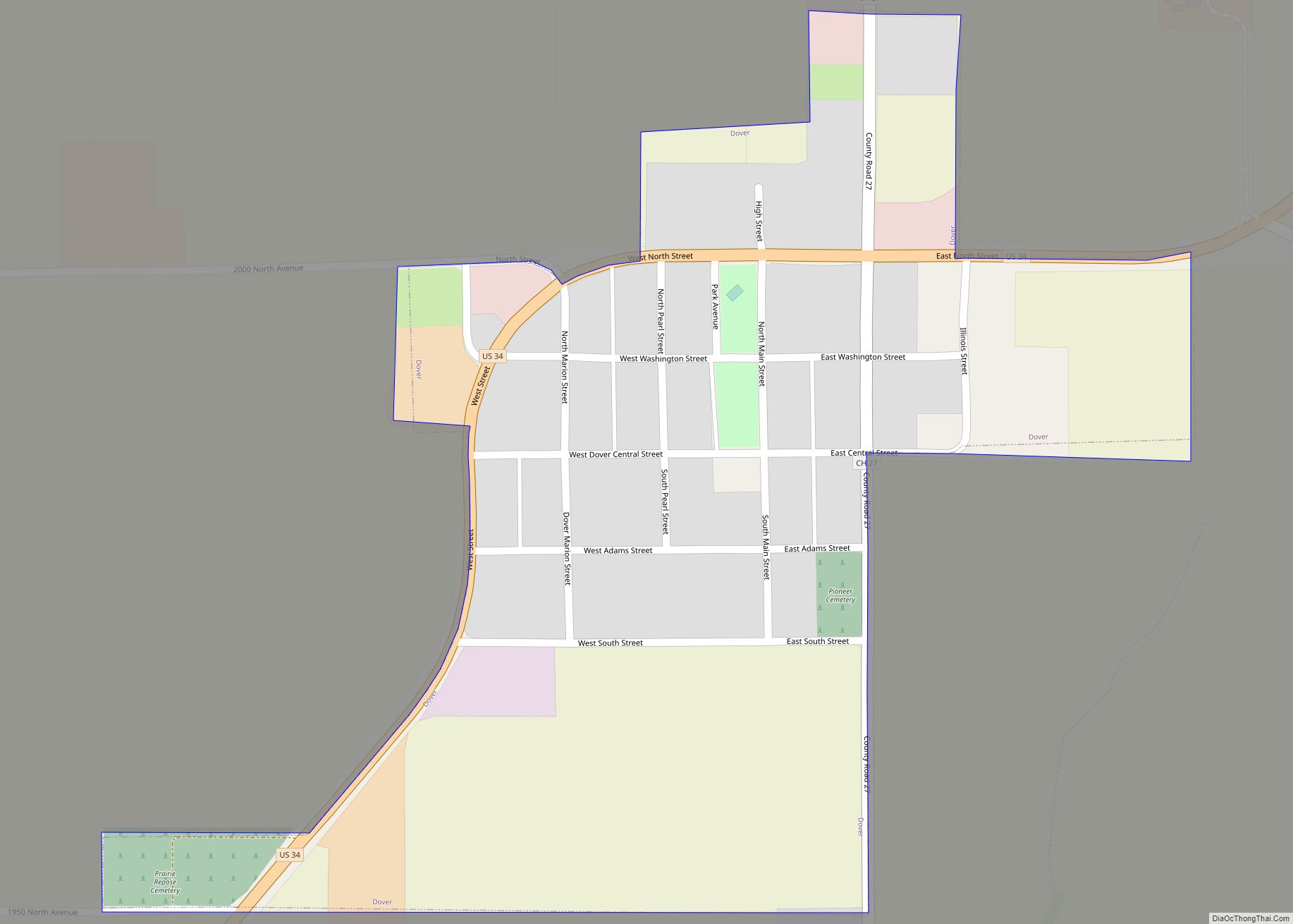
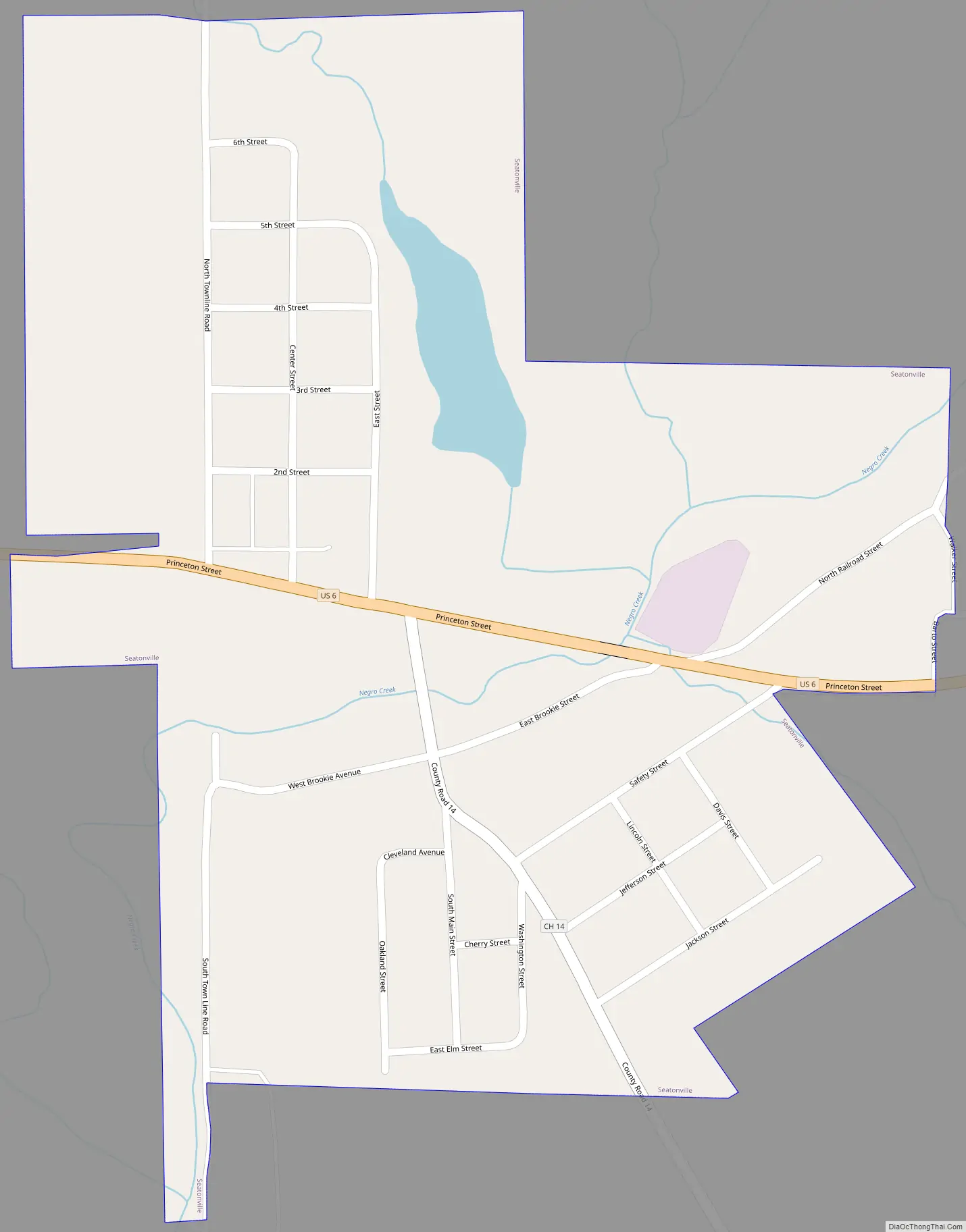
Seatonville Road Map
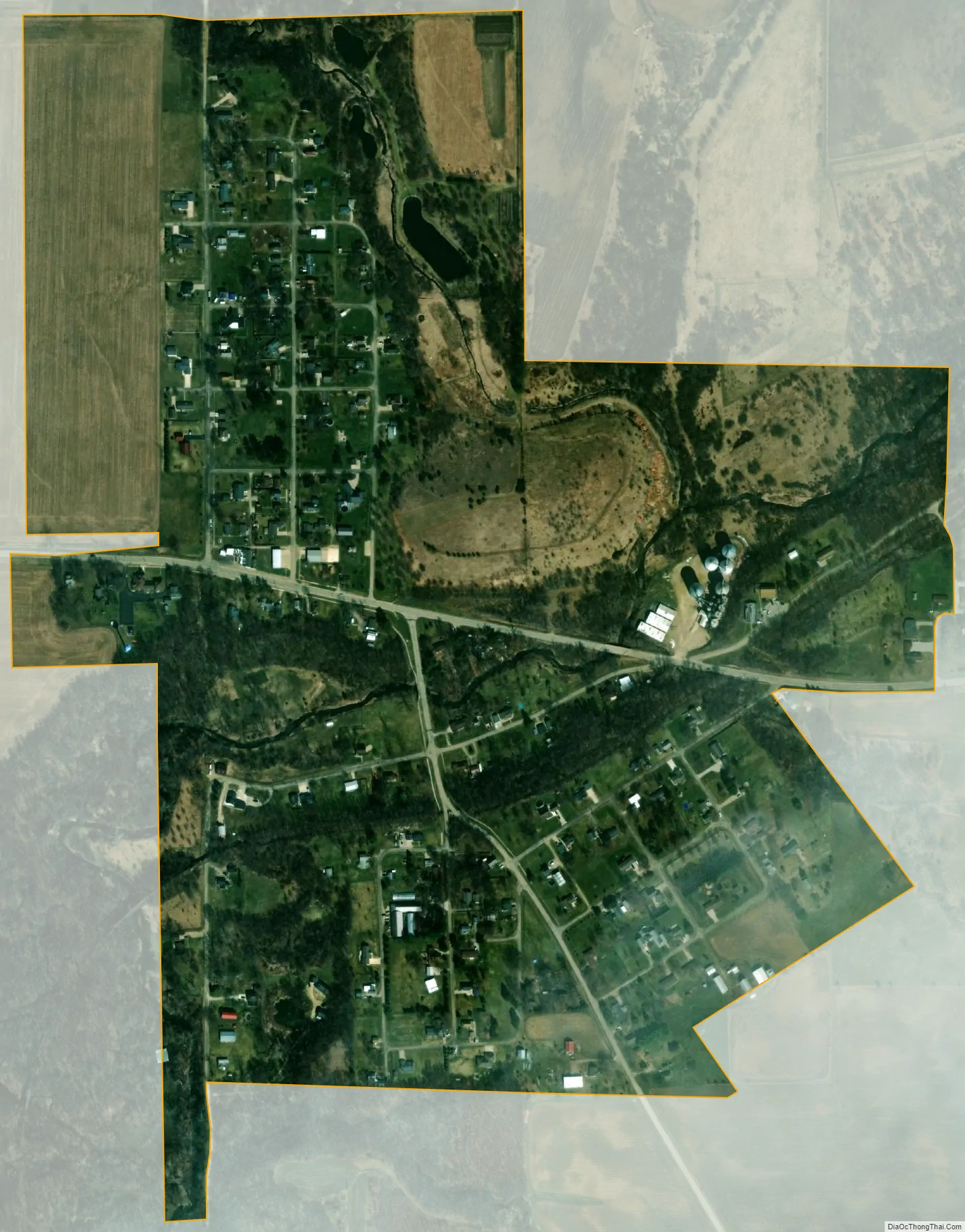
Seatonville city Satellite Map
Geography
Seatonville is located at 41°21′48″N 89°16′23″W / 41.36333°N 89.27306°W / 41.36333; -89.27306 (41.363312, -89.273094).
According to the 2021 census gazetteer files, Seatonville has a total area of 0.51 square miles (1.32 km), of which 0.50 square miles (1.29 km) (or 97.06%) is land and 0.02 square miles (0.05 km) (or 2.94%) is water.
See also
Map of Illinois State and its subdivision:- Adams
- Alexander
- Bond
- Boone
- Brown
- Bureau
- Calhoun
- Carroll
- Cass
- Champaign
- Christian
- Clark
- Clay
- Clinton
- Coles
- Cook
- Crawford
- Cumberland
- De Kalb
- De Witt
- Douglas
- Dupage
- Edgar
- Edwards
- Effingham
- Fayette
- Ford
- Franklin
- Fulton
- Gallatin
- Greene
- Grundy
- Hamilton
- Hancock
- Hardin
- Henderson
- Henry
- Iroquois
- Jackson
- Jasper
- Jefferson
- Jersey
- Jo Daviess
- Johnson
- Kane
- Kankakee
- Kendall
- Knox
- La Salle
- Lake
- Lake Michigan
- Lawrence
- Lee
- Livingston
- Logan
- Macon
- Macoupin
- Madison
- Marion
- Marshall
- Mason
- Massac
- McDonough
- McHenry
- McLean
- Menard
- Mercer
- Monroe
- Montgomery
- Morgan
- Moultrie
- Ogle
- Peoria
- Perry
- Piatt
- Pike
- Pope
- Pulaski
- Putnam
- Randolph
- Richland
- Rock Island
- Saint Clair
- Saline
- Sangamon
- Schuyler
- Scott
- Shelby
- Stark
- Stephenson
- Tazewell
- Union
- Vermilion
- Wabash
- Warren
- Washington
- Wayne
- White
- Whiteside
- Will
- Williamson
- Winnebago
- Woodford
- Alabama
- Alaska
- Arizona
- Arkansas
- California
- Colorado
- Connecticut
- Delaware
- District of Columbia
- Florida
- Georgia
- Hawaii
- Idaho
- Illinois
- Indiana
- Iowa
- Kansas
- Kentucky
- Louisiana
- Maine
- Maryland
- Massachusetts
- Michigan
- Minnesota
- Mississippi
- Missouri
- Montana
- Nebraska
- Nevada
- New Hampshire
- New Jersey
- New Mexico
- New York
- North Carolina
- North Dakota
- Ohio
- Oklahoma
- Oregon
- Pennsylvania
- Rhode Island
- South Carolina
- South Dakota
- Tennessee
- Texas
- Utah
- Vermont
- Virginia
- Washington
- West Virginia
- Wisconsin
- Wyoming