Time is a village in Pike County, Illinois, United States. The population was 29 at the 2000 census.
| Name: | Time village |
|---|---|
| LSAD Code: | 47 |
| LSAD Description: | village (suffix) |
| State: | Illinois |
| County: | Pike County |
| Elevation: | 692 ft (211 m) |
| Total Area: | 0.25 sq mi (0.66 km²) |
| Land Area: | 0.25 sq mi (0.66 km²) |
| Water Area: | 0.00 sq mi (0.00 km²) |
| Total Population: | 26 |
| Population Density: | 102.36/sq mi (39.54/km²) |
| Area code: | 217 |
| FIPS code: | 1775419 |
| GNISfeature ID: | 2399985 |
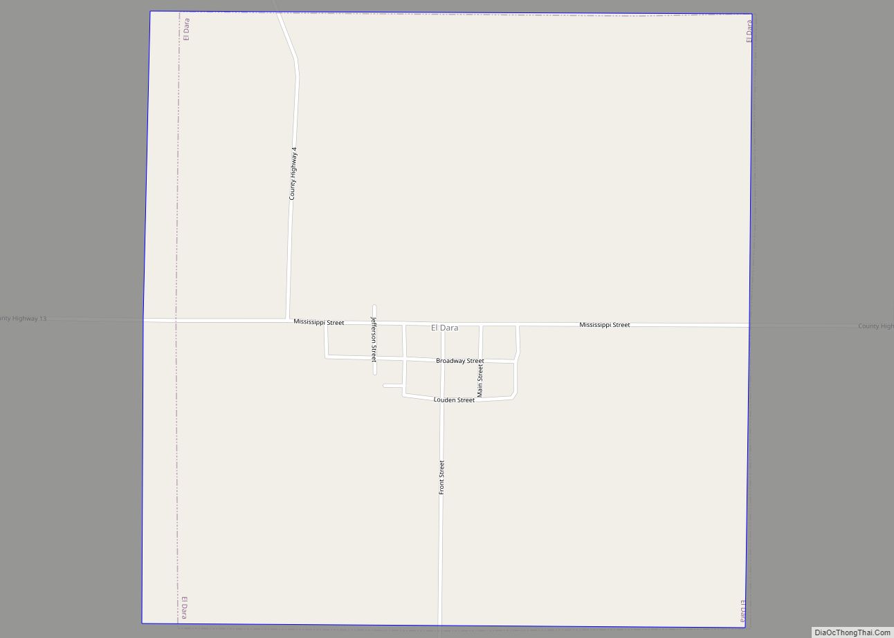
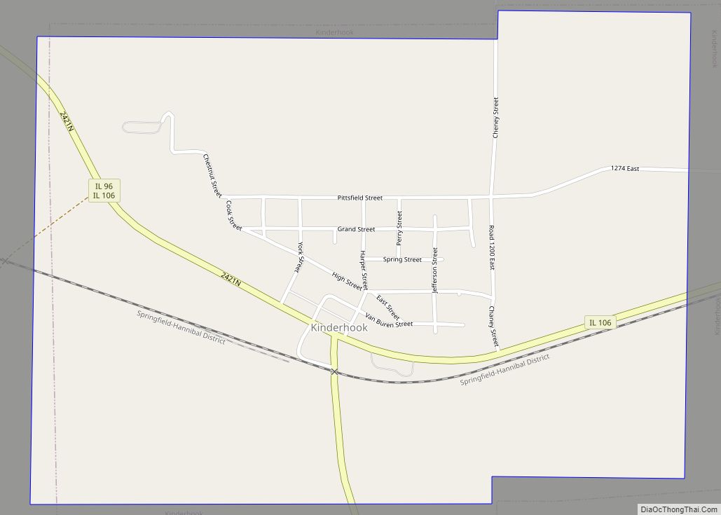
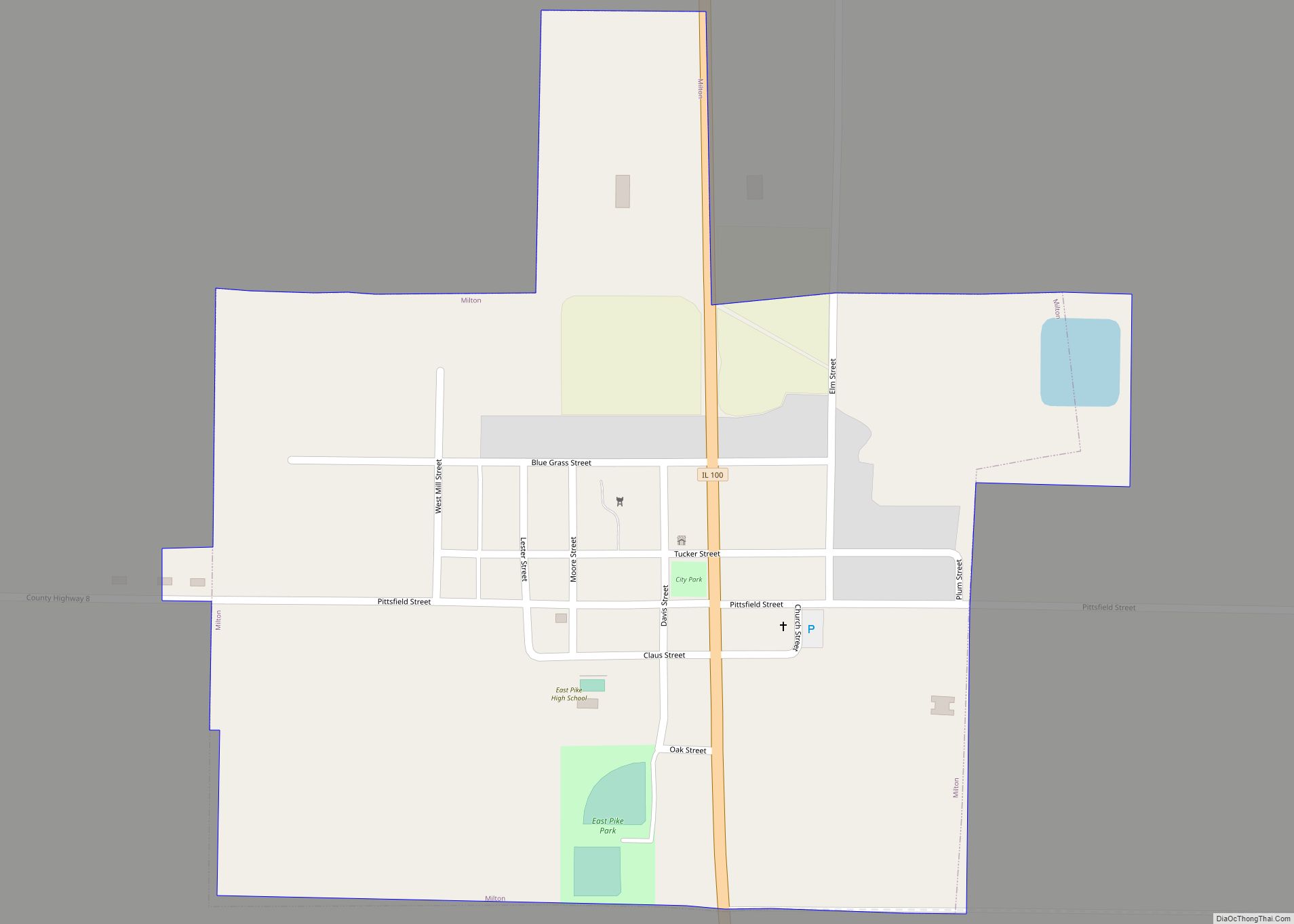
Online Interactive Map
Click on ![]() to view map in "full screen" mode.
to view map in "full screen" mode.
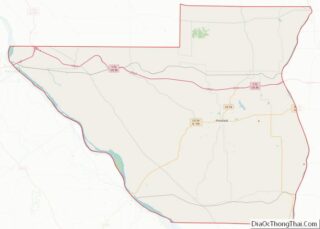
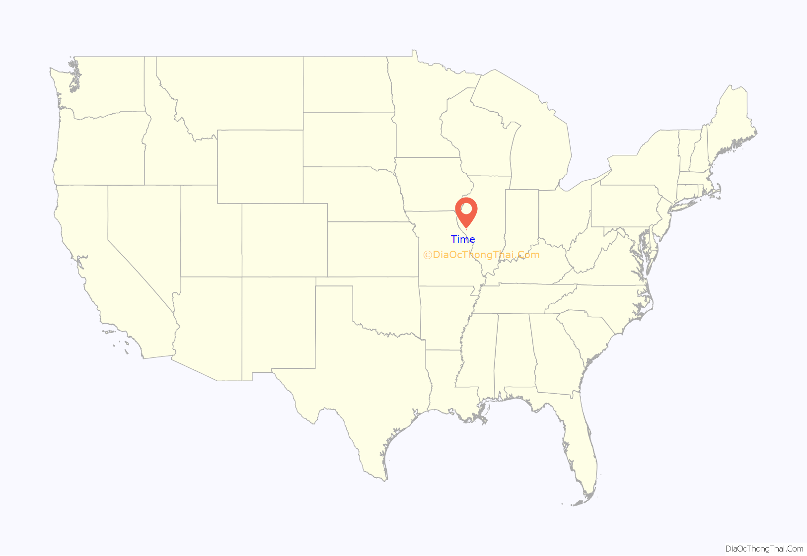
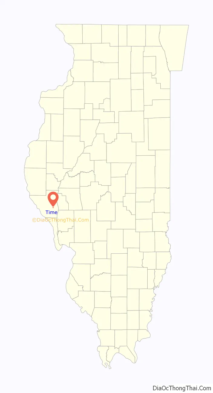
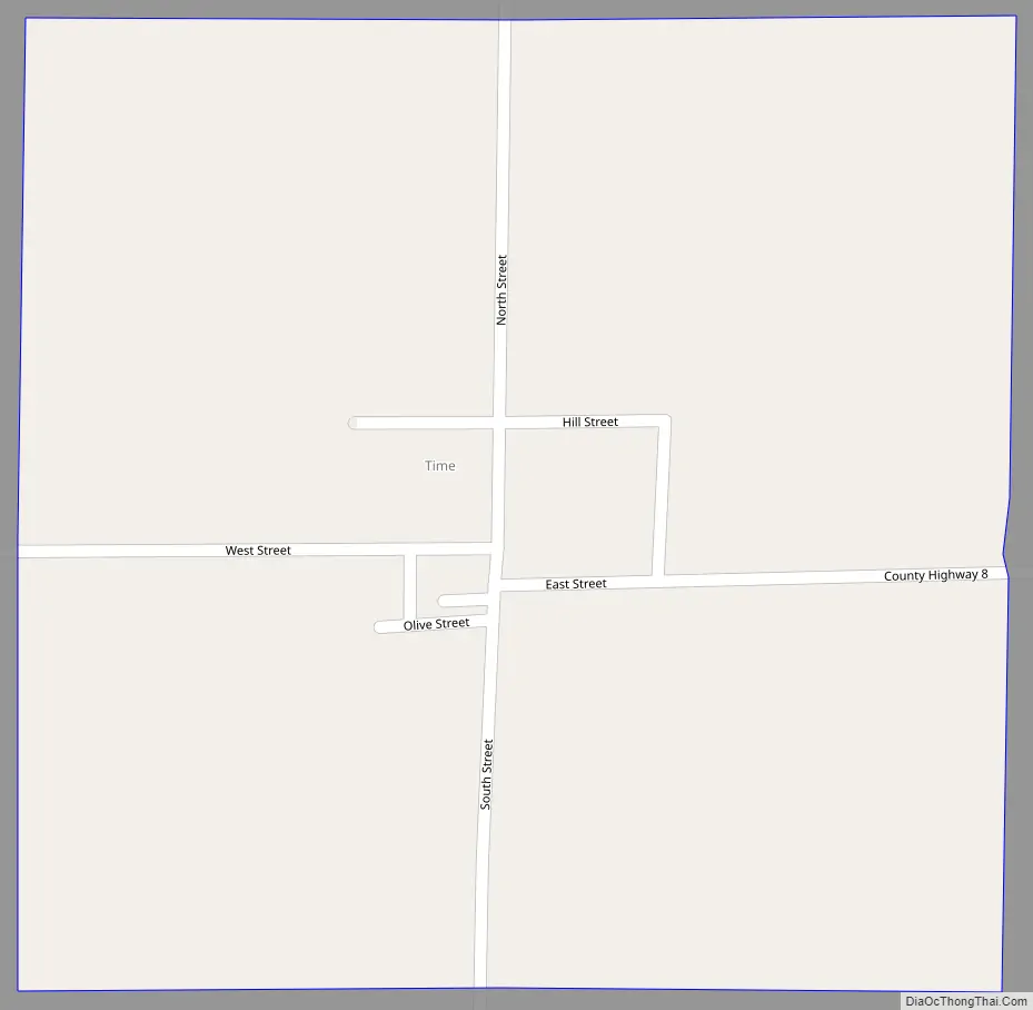
Time location map. Where is Time village?
History
Time is a village in the Midwestern United States, in the West Central region of Illinois. It was established as a village in 1857 in Hardin Township, which was then located in Pike County, Illinois. The slogan for the village, created in 1910, is “Time marches on 1857-2007.” It thrived during the 20th century but later met a decline. For an extended period of time, the Dyer family was very prominent. This family is the ancestors of the Pittsfield resident Richard Dyer.
When the censuses began in 1880, there were roughly 120 members of the community. There were also 4 stores, 2 wagons, a blacksmith shop, and a flouring mill. The popularity of the community has slowly declined and in the 2010 census, there were only 22 community members. They reside under a village president. The current village president is Joe Chiatello.
The town was a religious outlet for members of the surrounding community. It originally contained a Methodist and Christian church. This was later reduced to the current Time community church under the leadership of pastor Musgrove.
One of the prized possessions of the township is the bandstand which is located on the square next to the shelter house. The bandstand was established around the years of 1906 and 1907. This housed the concerts of the brass band that was famous around the county in the 19th and 20th century. It also had a string band in 1867. Time was also known for its revolutionary invention of the granitoid sidewalk.
As for the schooling, there was a two room brick schoolhouse. This school still resides on the east side of the village and is no longer in use. It has been vacant since 1950. It is just west of the cemetery. The village is also known for its croquet course. It was found in the square, alongside the bandstand. This sport was available to the residents until 1910.
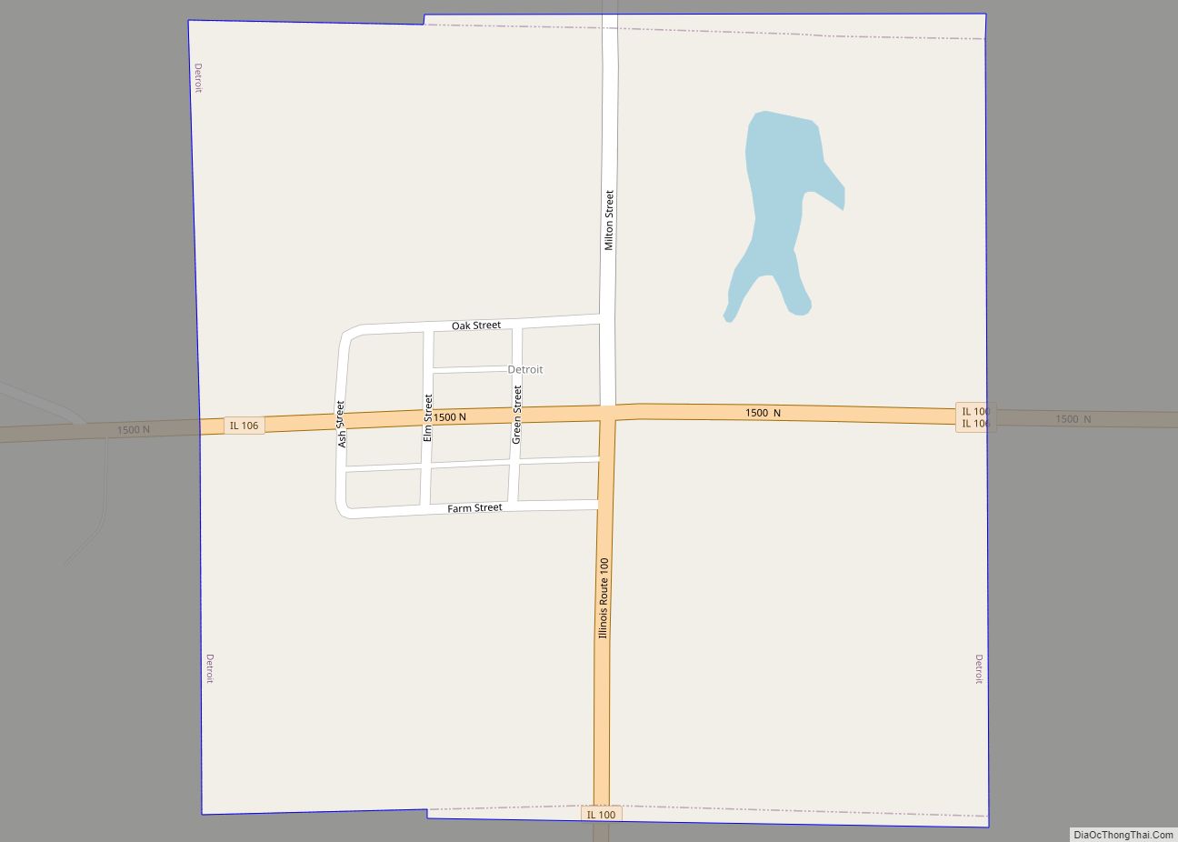
Time Road Map
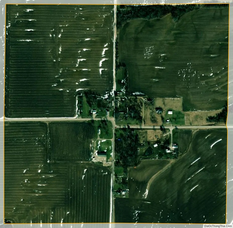
Time city Satellite Map
Geography
Time is located at 39°33′40″N 90°43′23″W / 39.56111°N 90.72306°W / 39.56111; -90.72306 (39.561160, -90.722947).
According to the 2010 census, Time has a total area of 0.44 square miles (1.14 km), all land.
See also
Map of Illinois State and its subdivision:- Adams
- Alexander
- Bond
- Boone
- Brown
- Bureau
- Calhoun
- Carroll
- Cass
- Champaign
- Christian
- Clark
- Clay
- Clinton
- Coles
- Cook
- Crawford
- Cumberland
- De Kalb
- De Witt
- Douglas
- Dupage
- Edgar
- Edwards
- Effingham
- Fayette
- Ford
- Franklin
- Fulton
- Gallatin
- Greene
- Grundy
- Hamilton
- Hancock
- Hardin
- Henderson
- Henry
- Iroquois
- Jackson
- Jasper
- Jefferson
- Jersey
- Jo Daviess
- Johnson
- Kane
- Kankakee
- Kendall
- Knox
- La Salle
- Lake
- Lake Michigan
- Lawrence
- Lee
- Livingston
- Logan
- Macon
- Macoupin
- Madison
- Marion
- Marshall
- Mason
- Massac
- McDonough
- McHenry
- McLean
- Menard
- Mercer
- Monroe
- Montgomery
- Morgan
- Moultrie
- Ogle
- Peoria
- Perry
- Piatt
- Pike
- Pope
- Pulaski
- Putnam
- Randolph
- Richland
- Rock Island
- Saint Clair
- Saline
- Sangamon
- Schuyler
- Scott
- Shelby
- Stark
- Stephenson
- Tazewell
- Union
- Vermilion
- Wabash
- Warren
- Washington
- Wayne
- White
- Whiteside
- Will
- Williamson
- Winnebago
- Woodford
- Alabama
- Alaska
- Arizona
- Arkansas
- California
- Colorado
- Connecticut
- Delaware
- District of Columbia
- Florida
- Georgia
- Hawaii
- Idaho
- Illinois
- Indiana
- Iowa
- Kansas
- Kentucky
- Louisiana
- Maine
- Maryland
- Massachusetts
- Michigan
- Minnesota
- Mississippi
- Missouri
- Montana
- Nebraska
- Nevada
- New Hampshire
- New Jersey
- New Mexico
- New York
- North Carolina
- North Dakota
- Ohio
- Oklahoma
- Oregon
- Pennsylvania
- Rhode Island
- South Carolina
- South Dakota
- Tennessee
- Texas
- Utah
- Vermont
- Virginia
- Washington
- West Virginia
- Wisconsin
- Wyoming