Tiskilwa is a village in Bureau County, Illinois, United States. The population was 740 at the 2020 census. It is part of the Ottawa Micropolitan Statistical Area.
Exelon Wind, a division of Exelon Power, owns and operates the Illinois Wind AgriWind Project in Tiskilwa.
| Name: | Tiskilwa village |
|---|---|
| LSAD Code: | 47 |
| LSAD Description: | village (suffix) |
| State: | Illinois |
| County: | Bureau County |
| Total Area: | 0.517 sq mi (1.34 km²) |
| Land Area: | 0.517 sq mi (1.34 km²) |
| Water Area: | 0.00 sq mi (0.0 km²) 0% |
| Total Population: | 740 |
| Population Density: | 1,400/sq mi (550/km²) |
| Area code: | 815 |
| FIPS code: | 1775549 |
| Website: | villageoftiskilwa.org |
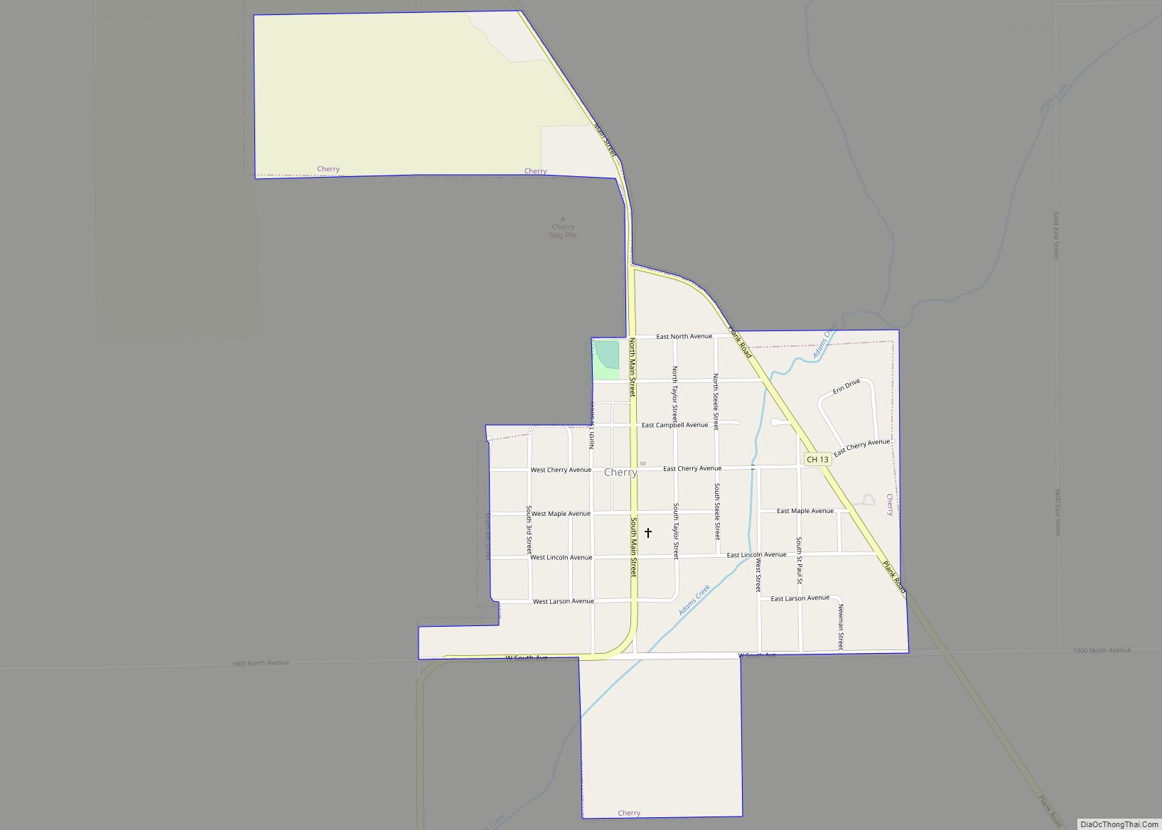
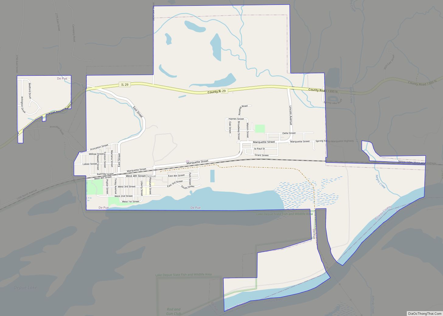
Online Interactive Map
Click on ![]() to view map in "full screen" mode.
to view map in "full screen" mode.
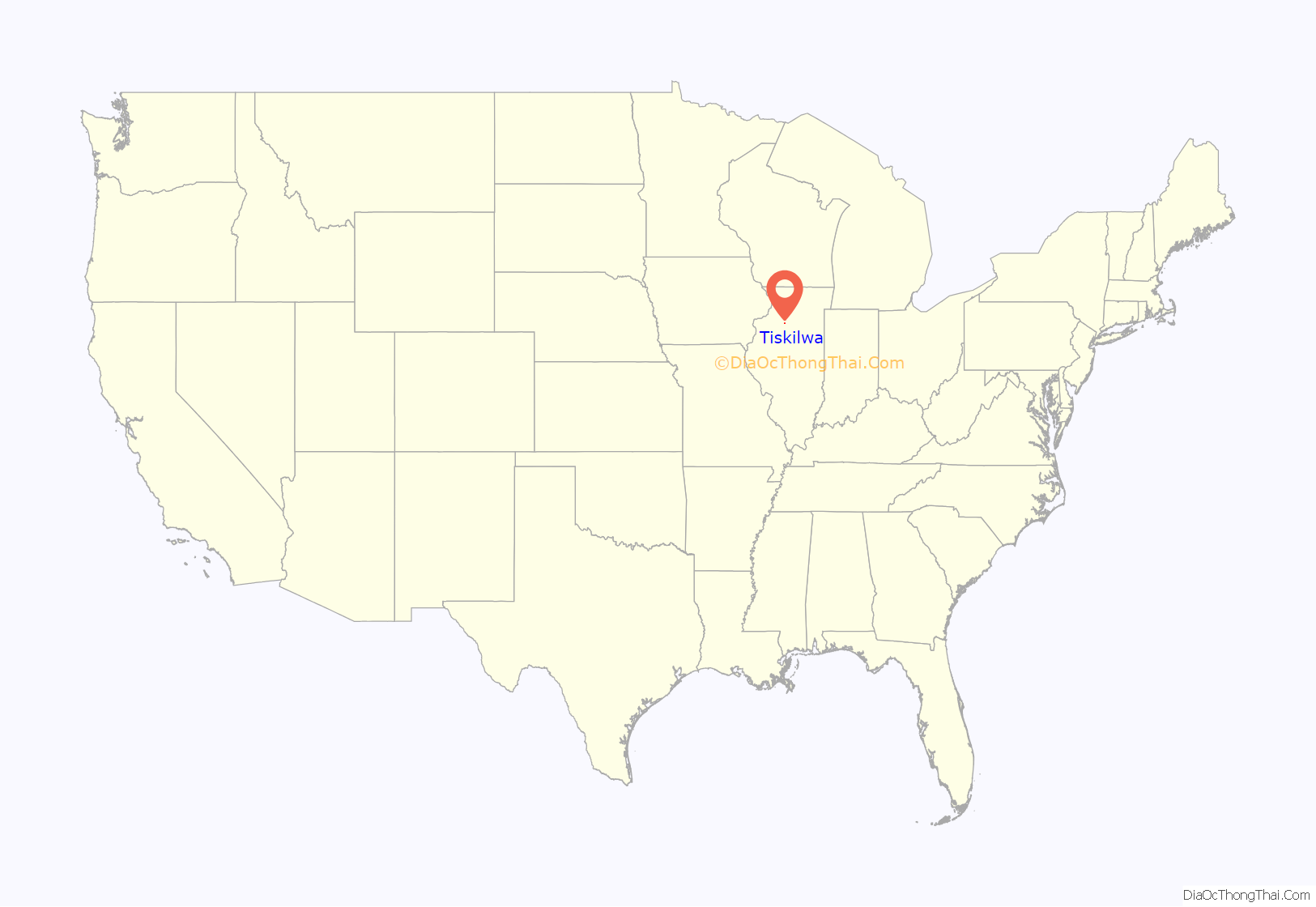
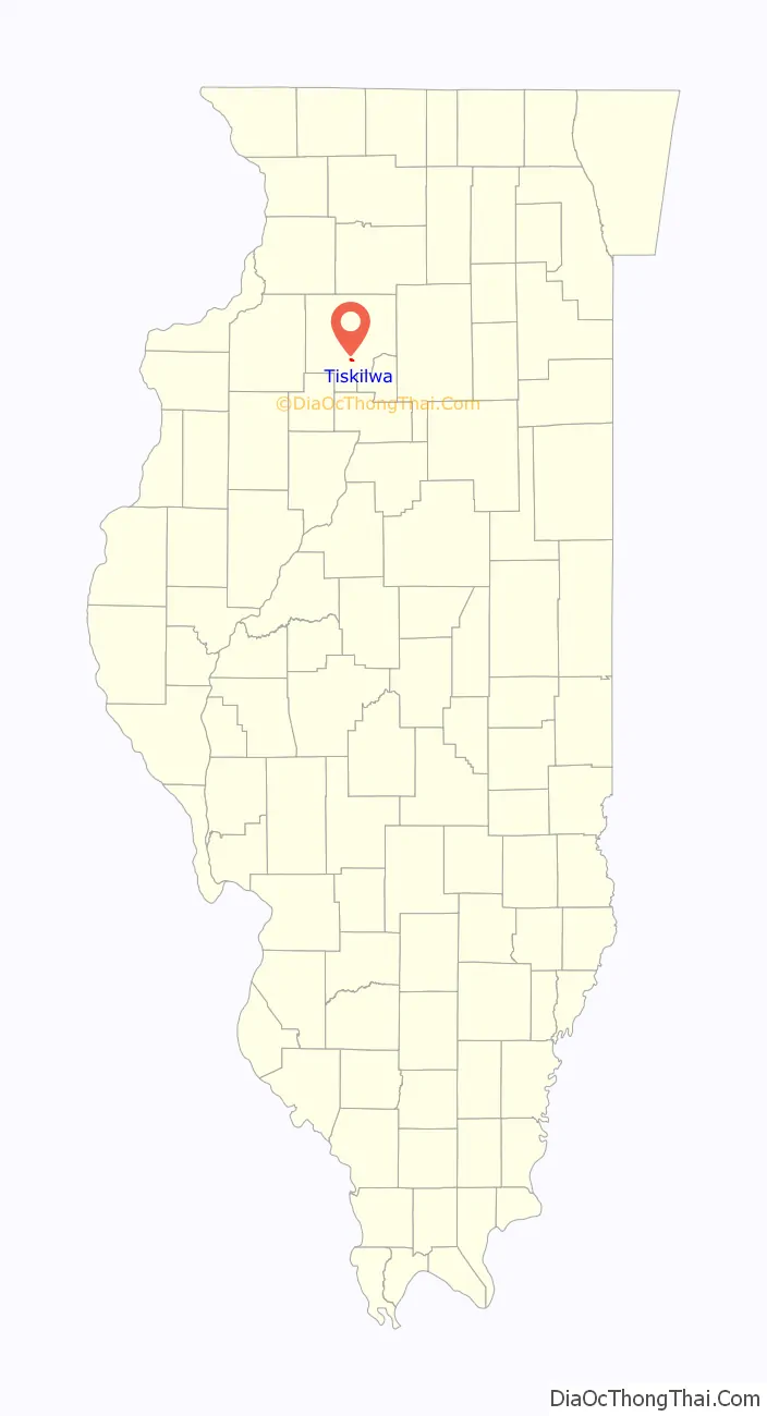
Tiskilwa location map. Where is Tiskilwa village?
History
Early history
Founded in 1834, Tiskilwa emerged as a regional economic and cultural center integrating its own administrative capacities, schools, churches and shops serving a small population of townspeople and farm families from the surrounding 3 to 5 miles (5 to 8 km). It was a small community whose center was three blocks of Main Street around which were located its churches, cafes, taverns, grocery stores, beauty parlors, barbershops and other businesses.
History of Tiskilwa High School
The high school was deactivated in 1996. The high school aged students from Tiskilwa now attend Princeton High School (Illinois). The grade school is now the property of the Princeton Elementary School District and now houses the Bureau Marshall Putnam counties’ special education cooperative (BMP), and the Bureau County Special Schools Bureau Educational Support Team (BEST Program), a public K-12 alternative school.
School buildings in Tiskilwa date to 1838. A newer building was built in 1850 and an updated building in 1868. In 1978 the building still standing today was built and closed with the deactivation of the school system in 1996. The first class to graduate high school from Tiskilwa did so in 1878 with a graduating class membership of two.
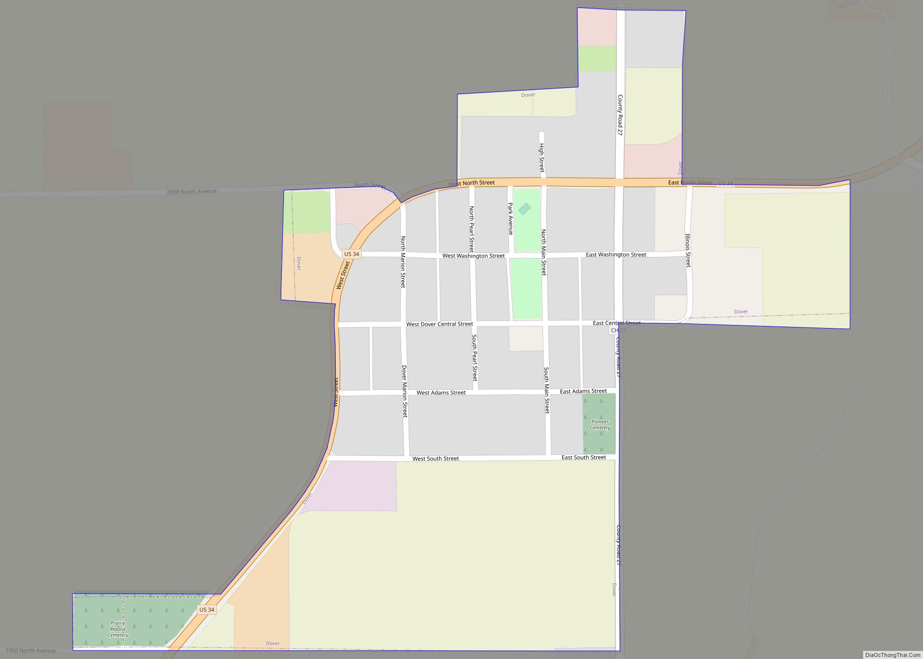
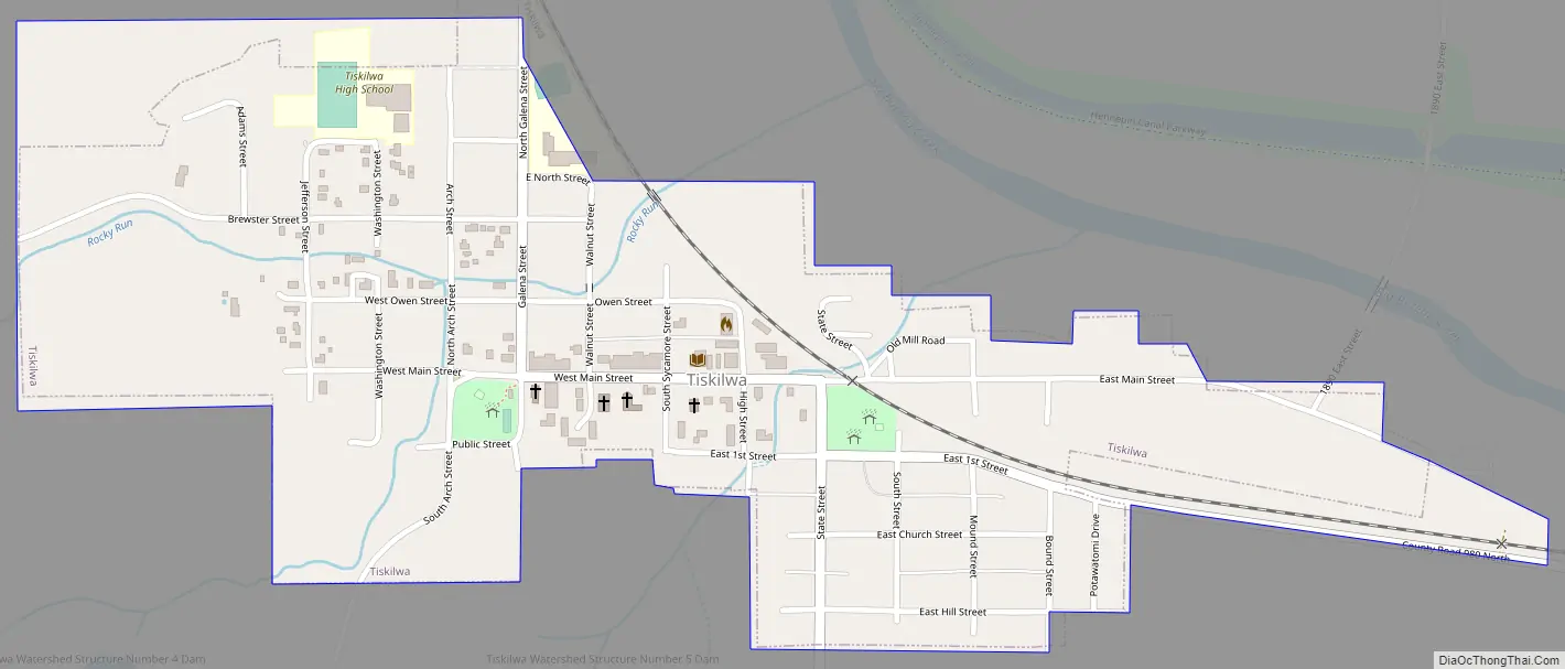
Tiskilwa Road Map
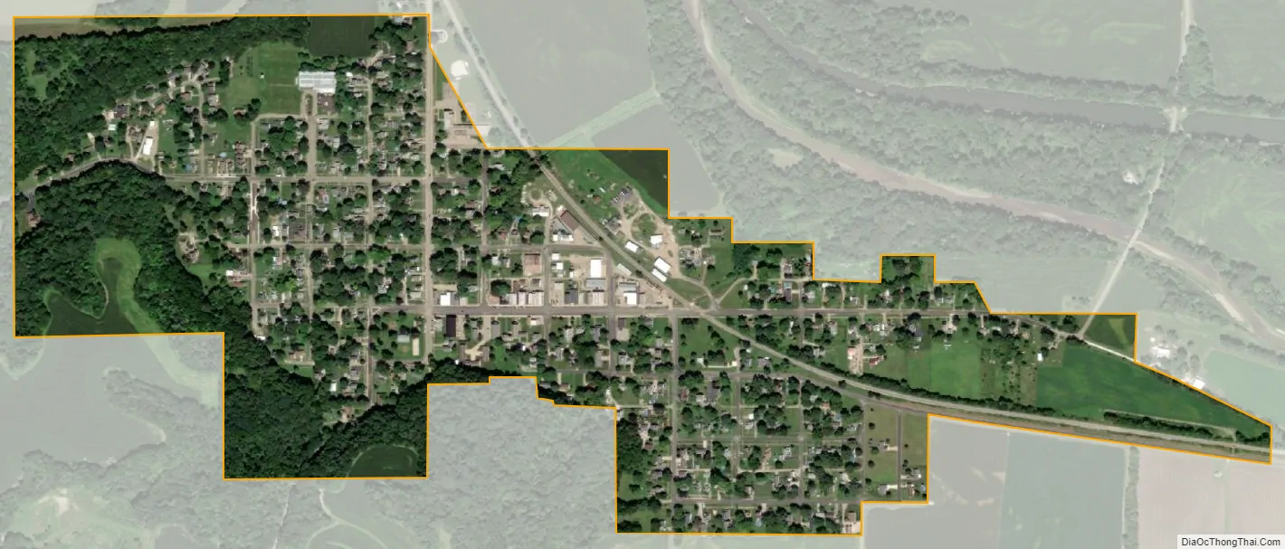
Tiskilwa city Satellite Map
Geography
Tiskilwa is located at 41°17′30″N 89°30′23″W / 41.29167°N 89.50639°W / 41.29167; -89.50639 (41.291664, -89.506462).
According to the 2021 census gazetteer files, Tiskilwa has a total area of 0.52 square miles (1.35 km), all land.
See also
Map of Illinois State and its subdivision:- Adams
- Alexander
- Bond
- Boone
- Brown
- Bureau
- Calhoun
- Carroll
- Cass
- Champaign
- Christian
- Clark
- Clay
- Clinton
- Coles
- Cook
- Crawford
- Cumberland
- De Kalb
- De Witt
- Douglas
- Dupage
- Edgar
- Edwards
- Effingham
- Fayette
- Ford
- Franklin
- Fulton
- Gallatin
- Greene
- Grundy
- Hamilton
- Hancock
- Hardin
- Henderson
- Henry
- Iroquois
- Jackson
- Jasper
- Jefferson
- Jersey
- Jo Daviess
- Johnson
- Kane
- Kankakee
- Kendall
- Knox
- La Salle
- Lake
- Lake Michigan
- Lawrence
- Lee
- Livingston
- Logan
- Macon
- Macoupin
- Madison
- Marion
- Marshall
- Mason
- Massac
- McDonough
- McHenry
- McLean
- Menard
- Mercer
- Monroe
- Montgomery
- Morgan
- Moultrie
- Ogle
- Peoria
- Perry
- Piatt
- Pike
- Pope
- Pulaski
- Putnam
- Randolph
- Richland
- Rock Island
- Saint Clair
- Saline
- Sangamon
- Schuyler
- Scott
- Shelby
- Stark
- Stephenson
- Tazewell
- Union
- Vermilion
- Wabash
- Warren
- Washington
- Wayne
- White
- Whiteside
- Will
- Williamson
- Winnebago
- Woodford
- Alabama
- Alaska
- Arizona
- Arkansas
- California
- Colorado
- Connecticut
- Delaware
- District of Columbia
- Florida
- Georgia
- Hawaii
- Idaho
- Illinois
- Indiana
- Iowa
- Kansas
- Kentucky
- Louisiana
- Maine
- Maryland
- Massachusetts
- Michigan
- Minnesota
- Mississippi
- Missouri
- Montana
- Nebraska
- Nevada
- New Hampshire
- New Jersey
- New Mexico
- New York
- North Carolina
- North Dakota
- Ohio
- Oklahoma
- Oregon
- Pennsylvania
- Rhode Island
- South Carolina
- South Dakota
- Tennessee
- Texas
- Utah
- Vermont
- Virginia
- Washington
- West Virginia
- Wisconsin
- Wyoming