Tonica is a village in LaSalle County, Illinois, United States. The population was 749 at the 2020 census, down from 768 at the 2010 census. It is part of the Ottawa Micropolitan Statistical Area.
| Name: | Tonica village |
|---|---|
| LSAD Code: | 47 |
| LSAD Description: | village (suffix) |
| State: | Illinois |
| County: | LaSalle County |
| Elevation: | 666 ft (203 m) |
| Total Area: | 1.36 sq mi (3.53 km²) |
| Land Area: | 1.36 sq mi (3.53 km²) |
| Water Area: | 0.00 sq mi (0.00 km²) |
| Total Population: | 749 |
| Population Density: | 550.7/sq mi (212.12/km²) |
| ZIP code: | 61370 |
| Area code: | 815 |
| FIPS code: | 1775718 |
| GNISfeature ID: | 2399993 |
| Website: | www.tonicavillage.com |
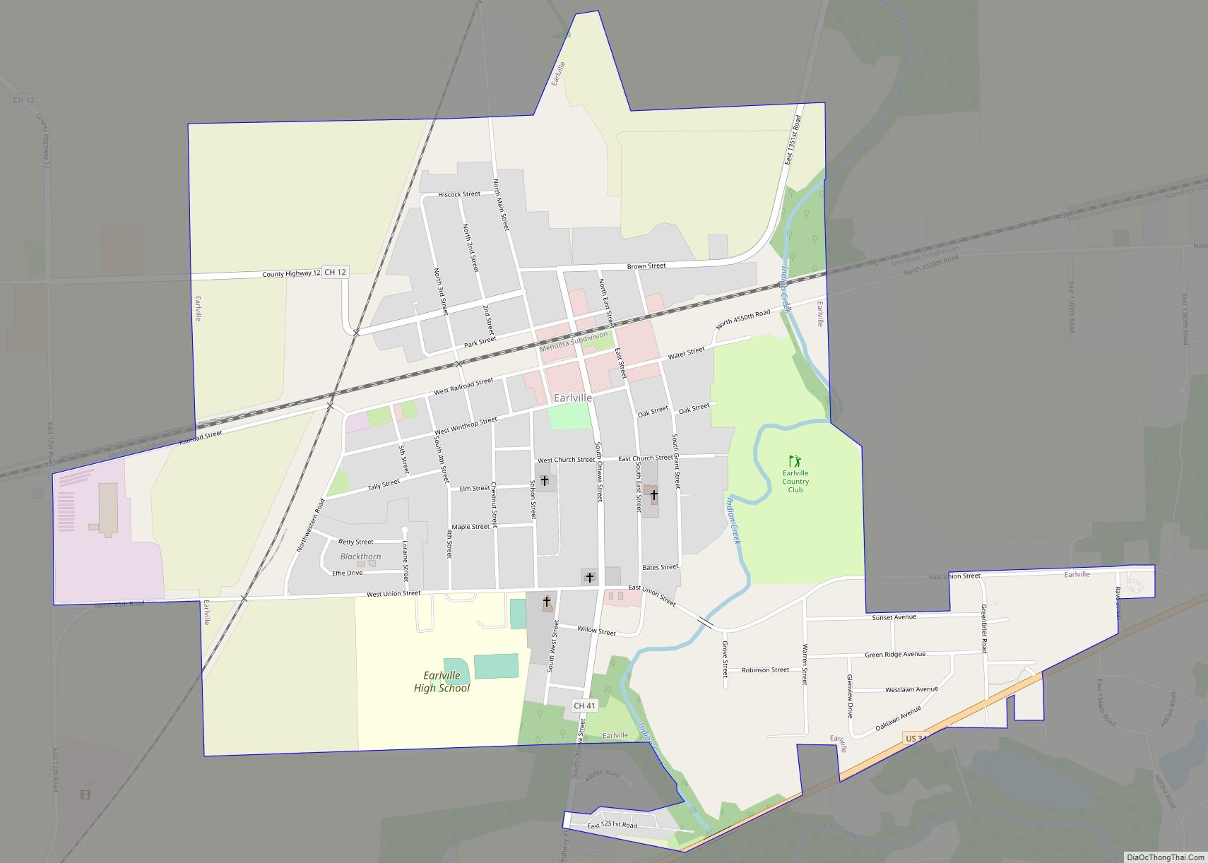
Online Interactive Map
Click on ![]() to view map in "full screen" mode.
to view map in "full screen" mode.
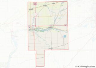
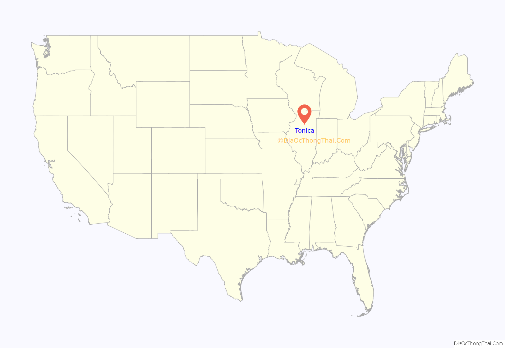
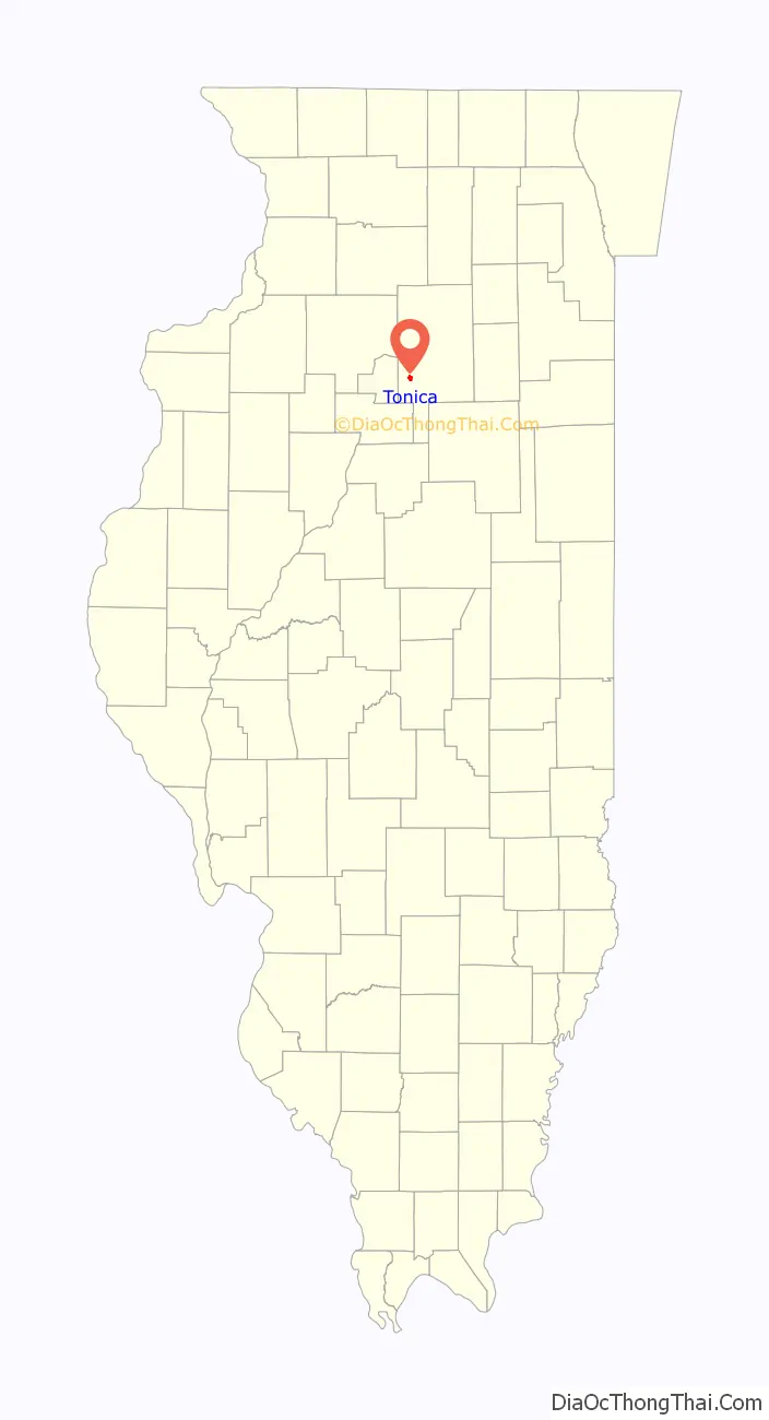
Tonica location map. Where is Tonica village?
History
Tonica was originally a small hamlet called Point Republic. The village was founded by Andrew West, the local agent for the Illinois Central Railroad. The tracks arrived May 23, 1853. Tonica was first incorporated on April 3, 1859, then reincorporated on August 16, 1873. The incorporation was certified on October 16, 1901.
Tonica derives its name from the Tunica people that West learned about while growing up in New York State. West likewise named many of the streets in the town after Native American tribes and people.
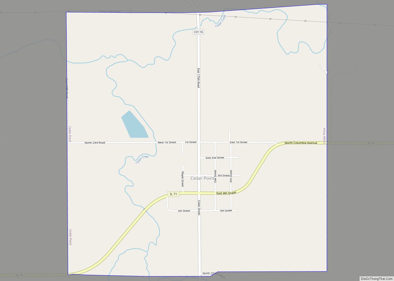
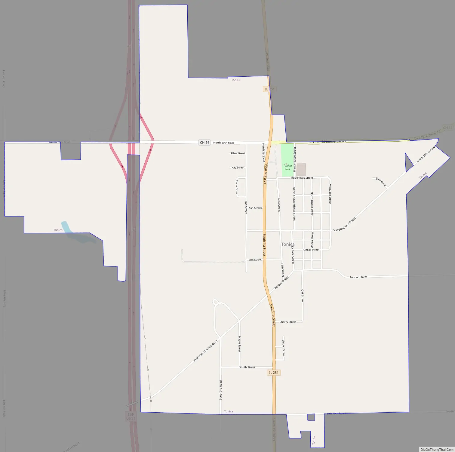
Tonica Road Map
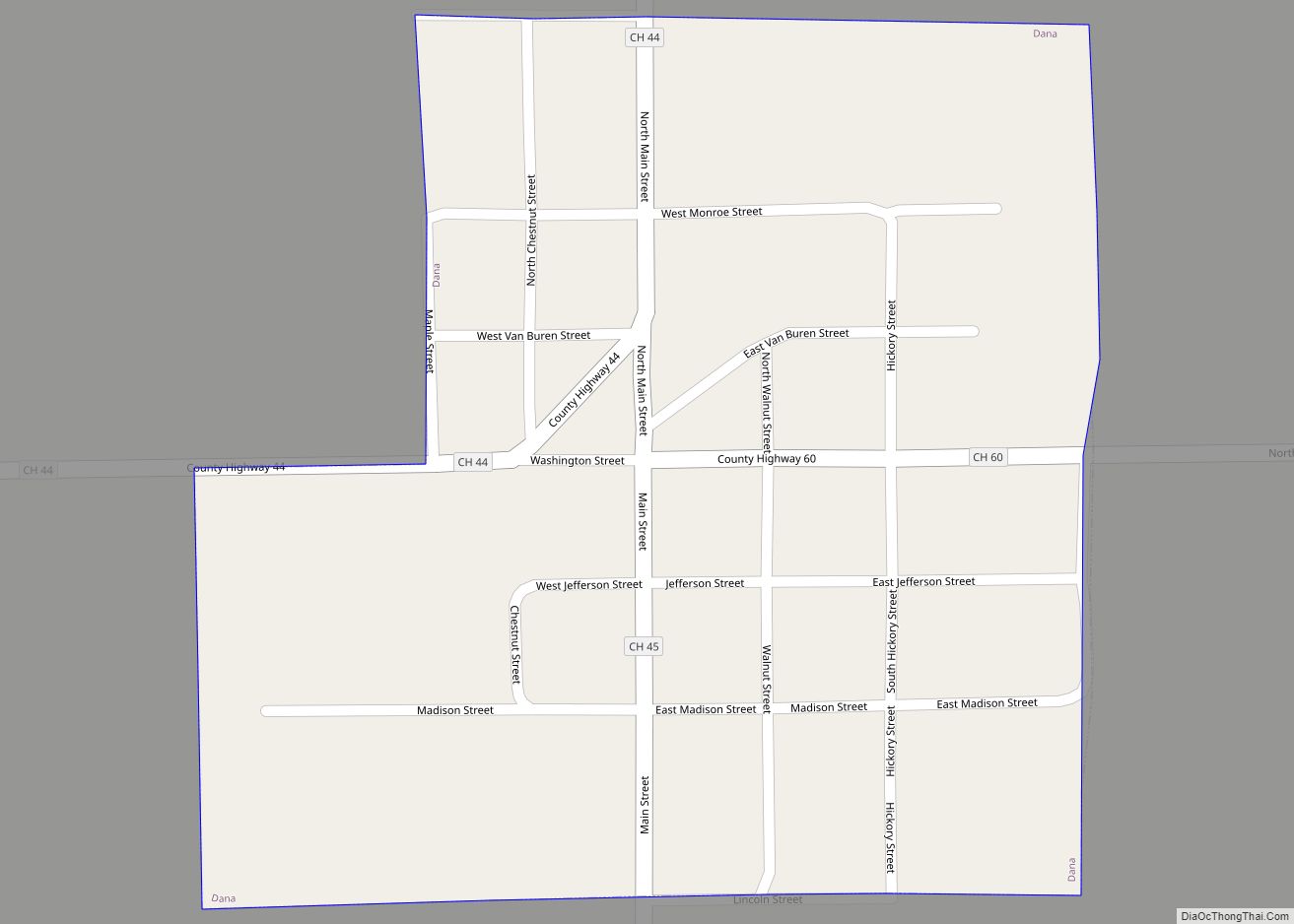
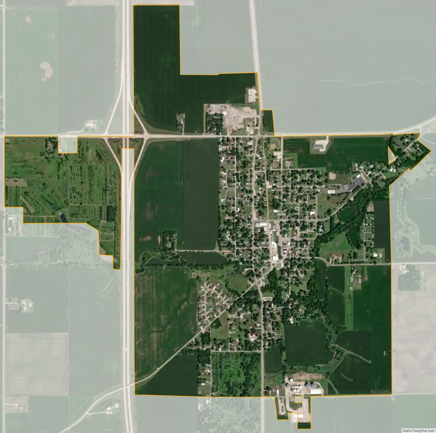
Tonica city Satellite Map
Geography
Tonica is located in western LaSalle County and Illinois Route 251 passes through the center of the village, leading north 9 miles (14 km) to Peru and south 12 miles (19 km) to Wenona. Interstate 39 passes through the west side of the village, with access from Exit 48 (N 20th Road). I-39 leads north 10 miles (16 km) to Interstate 80 in LaSalle and south 48 miles (77 km) to Interstate 55 at Normal.
According to the 2020 census, Tonica has a total area of 1.36 square miles (3.52 km), all land.
See also
Map of Illinois State and its subdivision:- Adams
- Alexander
- Bond
- Boone
- Brown
- Bureau
- Calhoun
- Carroll
- Cass
- Champaign
- Christian
- Clark
- Clay
- Clinton
- Coles
- Cook
- Crawford
- Cumberland
- De Kalb
- De Witt
- Douglas
- Dupage
- Edgar
- Edwards
- Effingham
- Fayette
- Ford
- Franklin
- Fulton
- Gallatin
- Greene
- Grundy
- Hamilton
- Hancock
- Hardin
- Henderson
- Henry
- Iroquois
- Jackson
- Jasper
- Jefferson
- Jersey
- Jo Daviess
- Johnson
- Kane
- Kankakee
- Kendall
- Knox
- La Salle
- Lake
- Lake Michigan
- Lawrence
- Lee
- Livingston
- Logan
- Macon
- Macoupin
- Madison
- Marion
- Marshall
- Mason
- Massac
- McDonough
- McHenry
- McLean
- Menard
- Mercer
- Monroe
- Montgomery
- Morgan
- Moultrie
- Ogle
- Peoria
- Perry
- Piatt
- Pike
- Pope
- Pulaski
- Putnam
- Randolph
- Richland
- Rock Island
- Saint Clair
- Saline
- Sangamon
- Schuyler
- Scott
- Shelby
- Stark
- Stephenson
- Tazewell
- Union
- Vermilion
- Wabash
- Warren
- Washington
- Wayne
- White
- Whiteside
- Will
- Williamson
- Winnebago
- Woodford
- Alabama
- Alaska
- Arizona
- Arkansas
- California
- Colorado
- Connecticut
- Delaware
- District of Columbia
- Florida
- Georgia
- Hawaii
- Idaho
- Illinois
- Indiana
- Iowa
- Kansas
- Kentucky
- Louisiana
- Maine
- Maryland
- Massachusetts
- Michigan
- Minnesota
- Mississippi
- Missouri
- Montana
- Nebraska
- Nevada
- New Hampshire
- New Jersey
- New Mexico
- New York
- North Carolina
- North Dakota
- Ohio
- Oklahoma
- Oregon
- Pennsylvania
- Rhode Island
- South Carolina
- South Dakota
- Tennessee
- Texas
- Utah
- Vermont
- Virginia
- Washington
- West Virginia
- Wisconsin
- Wyoming