Wyanet is a village in Bureau County, Illinois, United States. The population was 886 at the 2020 census. It is part of the Ottawa Micropolitan Statistical Area.
| Name: | Wyanet village |
|---|---|
| LSAD Code: | 47 |
| LSAD Description: | village (suffix) |
| State: | Illinois |
| County: | Bureau County |
| Total Area: | 0.946 sq mi (2.45 km²) |
| Land Area: | 0.946 sq mi (2.45 km²) |
| Water Area: | 0.00 sq mi (0.0 km²) 0% |
| Total Population: | 886 |
| Population Density: | 940/sq mi (360/km²) |
| Area code: | 815 & 779 |
| FIPS code: | 1783622 |
| Website: | www.wyanetil.com |
Online Interactive Map
Click on ![]() to view map in "full screen" mode.
to view map in "full screen" mode.
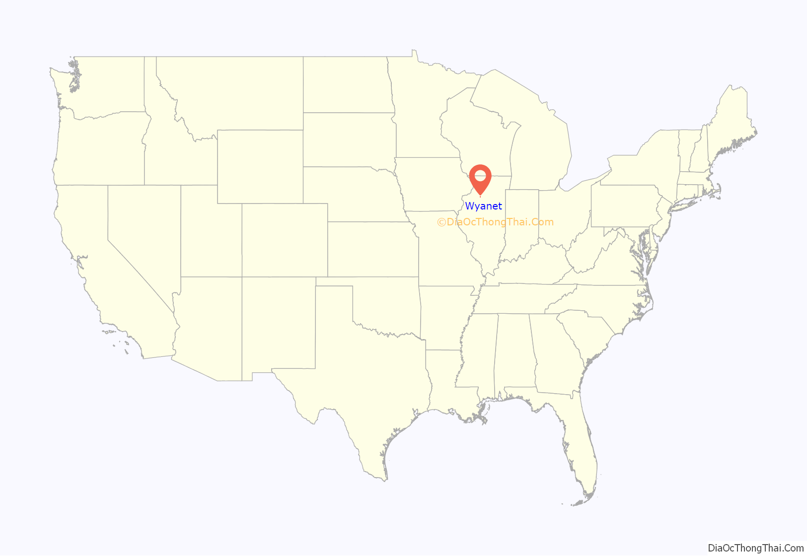
Wyanet location map. Where is Wyanet village?
History
Wyanet’s history dates back to 1821; it was officially plated in 1854 and incorporated in 1857. The community has had several names since its beginning. In 1821 the settlement was first called “Center”. Named by Bulbona an Indian trader. In 1837 the Village officially started to sprout its roots due to the area known as “Pond Creek”. Named for the Creek at the South edge of town where Ellis Mercer built a saw mill and Amos Leonard built the first flour mill. The first railroad, the Chicago Rock Island & Pacific was built here in 1853. At this time the name was changed to “Kingston” in honor of the land donors Henry and Mary King. The Chicago, Burlington, Quincy Railroad gave the Village its current name, Wyanet, when they completed their rail line in 1855.
Wyanet Road Map
Wyanet city Satellite Map
Geography
According to the 2021 census gazetteer files, Wyanet has a total area of 0.95 square miles (2.46 km), all land.
See also
Map of Illinois State and its subdivision:- Adams
- Alexander
- Bond
- Boone
- Brown
- Bureau
- Calhoun
- Carroll
- Cass
- Champaign
- Christian
- Clark
- Clay
- Clinton
- Coles
- Cook
- Crawford
- Cumberland
- De Kalb
- De Witt
- Douglas
- Dupage
- Edgar
- Edwards
- Effingham
- Fayette
- Ford
- Franklin
- Fulton
- Gallatin
- Greene
- Grundy
- Hamilton
- Hancock
- Hardin
- Henderson
- Henry
- Iroquois
- Jackson
- Jasper
- Jefferson
- Jersey
- Jo Daviess
- Johnson
- Kane
- Kankakee
- Kendall
- Knox
- La Salle
- Lake
- Lake Michigan
- Lawrence
- Lee
- Livingston
- Logan
- Macon
- Macoupin
- Madison
- Marion
- Marshall
- Mason
- Massac
- McDonough
- McHenry
- McLean
- Menard
- Mercer
- Monroe
- Montgomery
- Morgan
- Moultrie
- Ogle
- Peoria
- Perry
- Piatt
- Pike
- Pope
- Pulaski
- Putnam
- Randolph
- Richland
- Rock Island
- Saint Clair
- Saline
- Sangamon
- Schuyler
- Scott
- Shelby
- Stark
- Stephenson
- Tazewell
- Union
- Vermilion
- Wabash
- Warren
- Washington
- Wayne
- White
- Whiteside
- Will
- Williamson
- Winnebago
- Woodford
- Alabama
- Alaska
- Arizona
- Arkansas
- California
- Colorado
- Connecticut
- Delaware
- District of Columbia
- Florida
- Georgia
- Hawaii
- Idaho
- Illinois
- Indiana
- Iowa
- Kansas
- Kentucky
- Louisiana
- Maine
- Maryland
- Massachusetts
- Michigan
- Minnesota
- Mississippi
- Missouri
- Montana
- Nebraska
- Nevada
- New Hampshire
- New Jersey
- New Mexico
- New York
- North Carolina
- North Dakota
- Ohio
- Oklahoma
- Oregon
- Pennsylvania
- Rhode Island
- South Carolina
- South Dakota
- Tennessee
- Texas
- Utah
- Vermont
- Virginia
- Washington
- West Virginia
- Wisconsin
- Wyoming
