Lino Lakes is a city in Anoka County, Minnesota, United States. The population was 21,399 at the 2020 census. Interstates 35W and 35E are two of Lino Lakes’s main routes. It is an outer suburb north of the Twin Cities.
| Name: | Lino Lakes city |
|---|---|
| LSAD Code: | 25 |
| LSAD Description: | city (suffix) |
| State: | Minnesota |
| County: | Anoka County |
| Elevation: | 892 ft (272 m) |
| Total Area: | 33.21 sq mi (86.01 km²) |
| Land Area: | 28.22 sq mi (73.08 km²) |
| Water Area: | 4.99 sq mi (12.92 km²) |
| Total Population: | 21,399 |
| Population Density: | 758.37/sq mi (292.81/km²) |
| ZIP code: | 55014/55038 |
| Area code: | Area code 651 |
| FIPS code: | 2737322 |
| GNISfeature ID: | 2395725 |
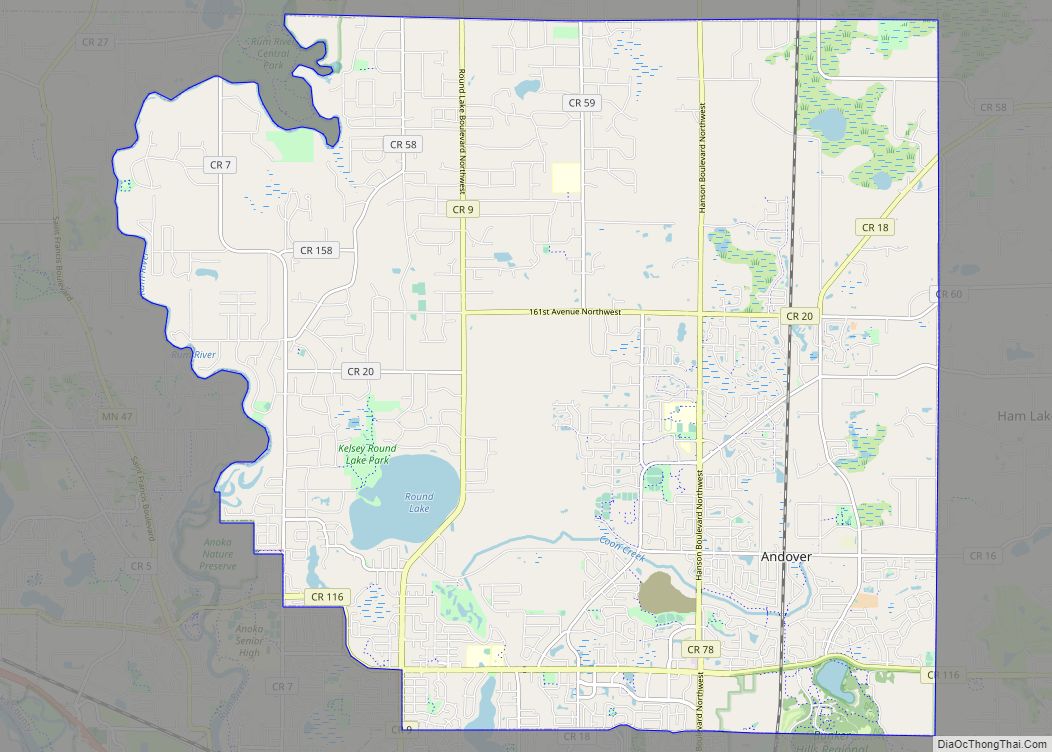
Online Interactive Map
Click on ![]() to view map in "full screen" mode.
to view map in "full screen" mode.
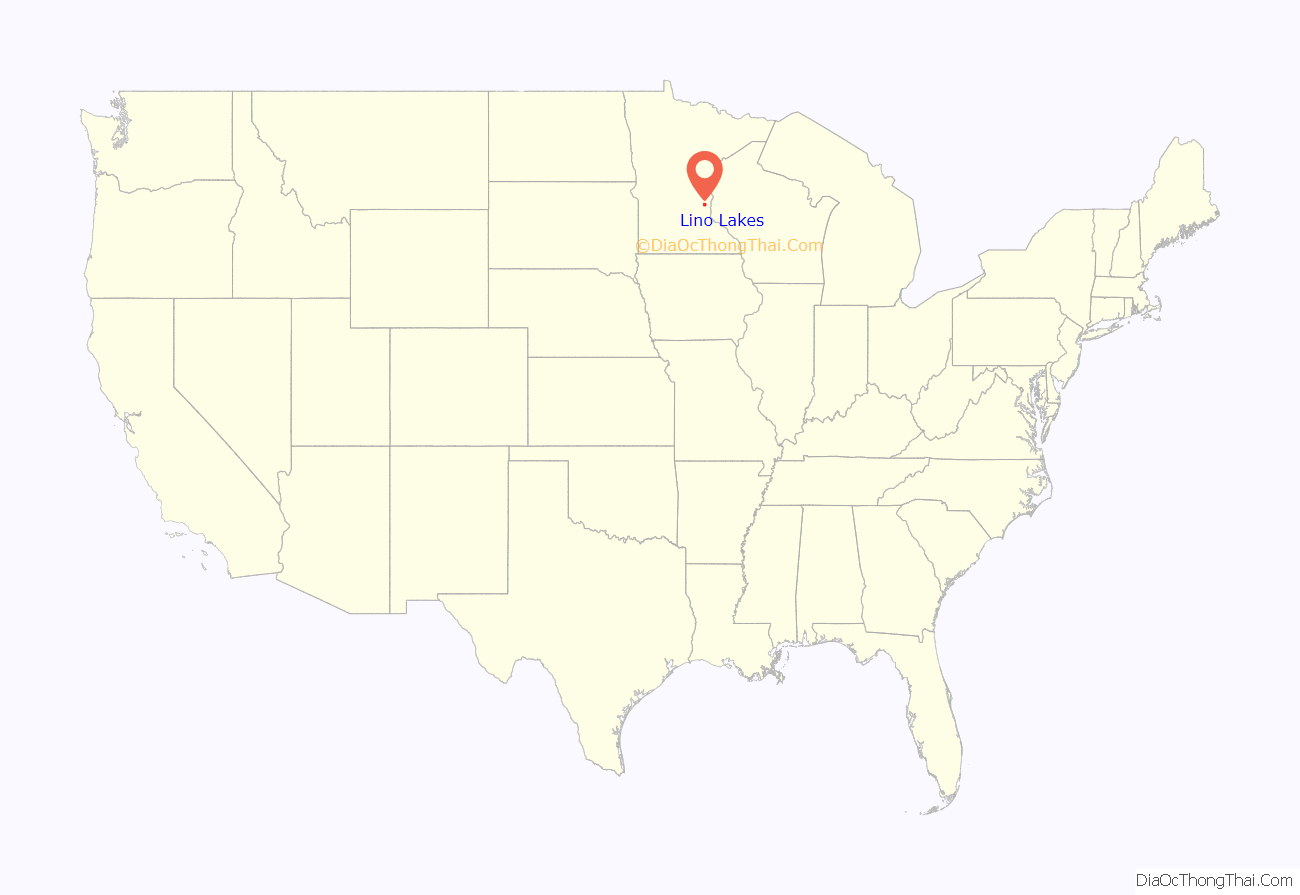
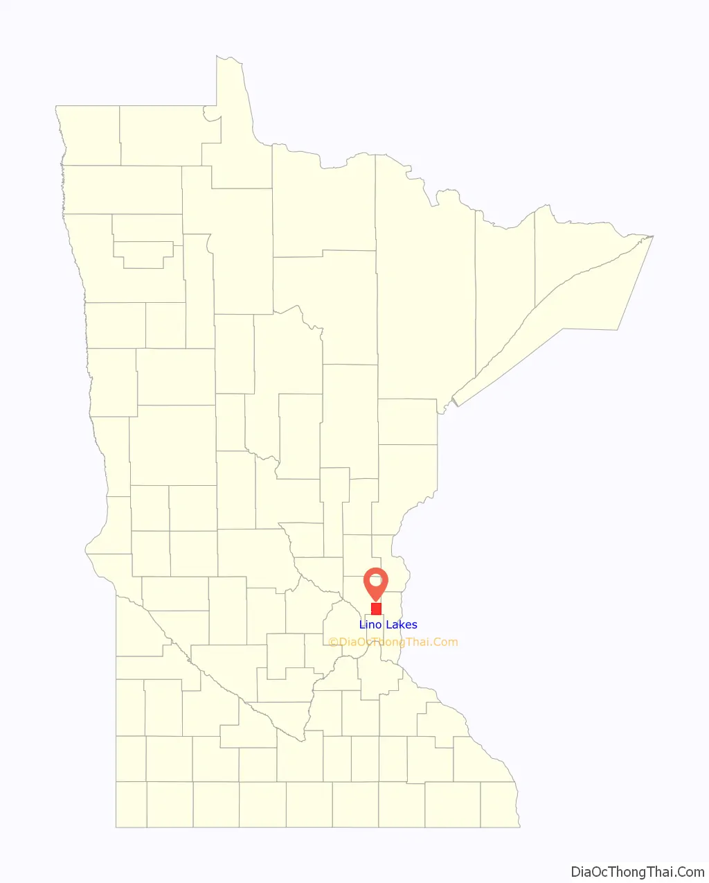
Lino Lakes location map. Where is Lino Lakes city?
History
When European settlers arrived, Native Americans already lived in the area where what are now called Reshanau, Baldwin, Rice and Marshan Lakes cluster. The Dakota people found this to be a land of plenty, with abundant wild rice and small game. Several Native American burial grounds are in the area. White hunters and trappers began coming to the area from both Canada and the eastern states around 1850. Those who settled on the lake’s west side had names like Ramsden, Speiser, and Wenzel. The east side was settled by families including the Cardinals, LaMottes, Houles and Dupres. Many of their descendants still live in the area.
Several names were suggested for the new village, most containing the word “lakes”. The origin of the word “Lino” is unknown. A Lino post office operated for about 10 years in the late 1800s. The town board decided to name the new village Lino Lakes. On May 11, 1955, the Village of Lino Lakes was incorporated. It covered the original Centerville Township except the Village of Centerville, and comprised 21,000 acres of land and 1,800 citizens. In 1972, the state legislature changed all Minnesota villages to cities.
The area’s first unit of local government was the township of Centerville, organized on August 11, 1857, and encompassing 36 square miles. The population of just under 300 was organized into three loosely knit communities known as the “German settlement” west of the lakes, the “Swede settlement” south of the lakes, and the “French settlement” east of the lakes. In the 1950s neighboring villages started annexing land from Centerville Township. To protect the boundaries and allow for the financing of public improvements, the township residents voted to incorporate into a village.
On July 26, 2010, the Lino Lakes City Council voted 4–1 to establish English as Lino Lakes’s official language. The resolution stated that all official documents would be prepared in English and that the city would not pay for translation of its documents into any other language. Proponents argued that expenses related to translation of governmental expenses were unnecessary. On the other hand, the resolution has been perceived as connected to the English-only movement. MetroNorth Chamber of Commerce president Lori Higgins said, “it makes the area appear unwelcoming.”
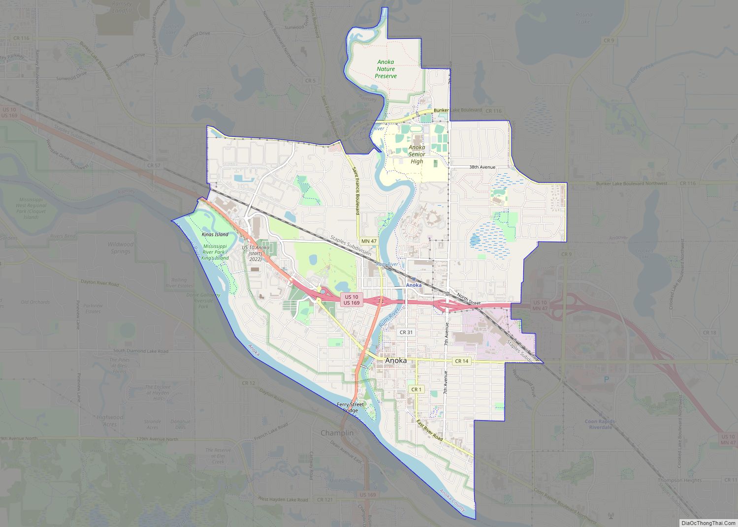
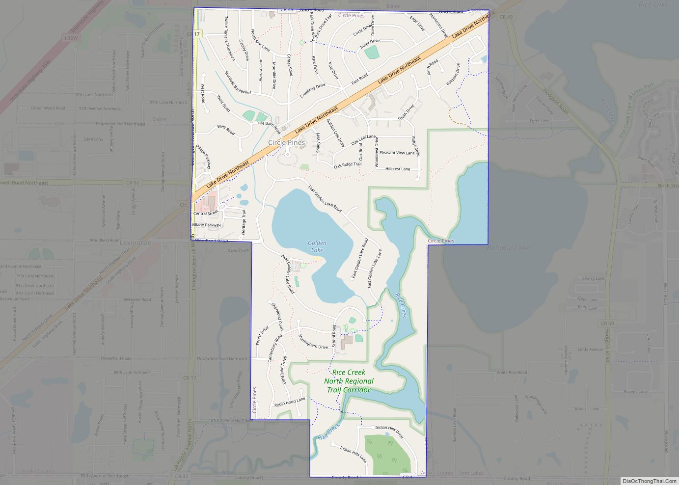
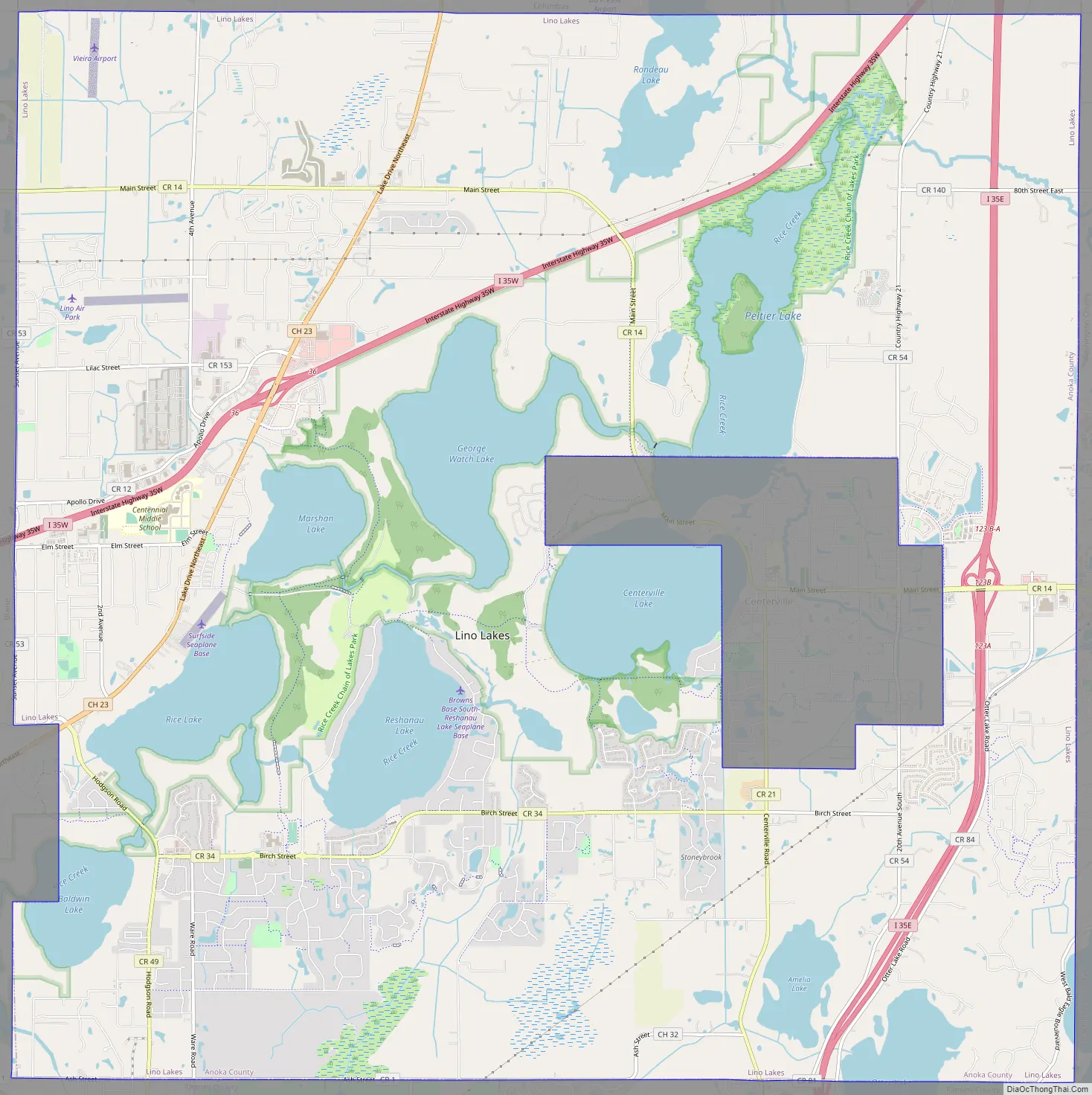
Lino Lakes Road Map
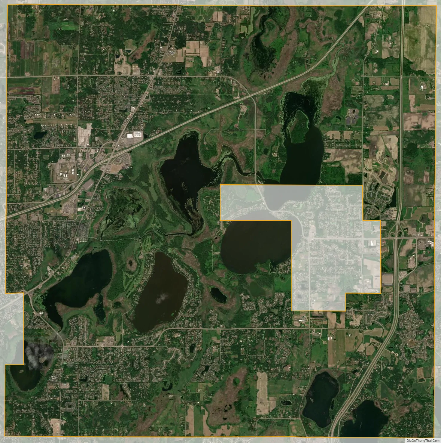
Lino Lakes city Satellite Map
Geography
According to the United States Census Bureau, the city has an area of 33.21 square miles (86.01 km), of which 28.22 square miles (73.09 km) is land and 4.99 square miles (12.92 km) is water. A total of 44% of the city’s land was developed in 2010, compared to 37% in 2000.
Rice Creek flows through the city. Rice Creek Chain of Lakes Regional Park Reserve is in Lino Lakes.
Lino Lakes’s main shopping area is the Town Center at the intersection of Interstate 35W and County 23–Lake Drive. It includes a SuperTarget and Kohl’s, a YMCA, civic complex and other offices, medical and retail.
See also
Map of Minnesota State and its subdivision:- Aitkin
- Anoka
- Becker
- Beltrami
- Benton
- Big Stone
- Blue Earth
- Brown
- Carlton
- Carver
- Cass
- Chippewa
- Chisago
- Clay
- Clearwater
- Cook
- Cottonwood
- Crow Wing
- Dakota
- Dodge
- Douglas
- Faribault
- Fillmore
- Freeborn
- Goodhue
- Grant
- Hennepin
- Houston
- Hubbard
- Isanti
- Itasca
- Jackson
- Kanabec
- Kandiyohi
- Kittson
- Koochiching
- Lac qui Parle
- Lake
- Lake of the Woods
- Lake Superior
- Le Sueur
- Lincoln
- Lyon
- Mahnomen
- Marshall
- Martin
- McLeod
- Meeker
- Mille Lacs
- Morrison
- Mower
- Murray
- Nicollet
- Nobles
- Norman
- Olmsted
- Otter Tail
- Pennington
- Pine
- Pipestone
- Polk
- Pope
- Ramsey
- Red Lake
- Redwood
- Renville
- Rice
- Rock
- Roseau
- Saint Louis
- Scott
- Sherburne
- Sibley
- Stearns
- Steele
- Stevens
- Swift
- Todd
- Traverse
- Wabasha
- Wadena
- Waseca
- Washington
- Watonwan
- Wilkin
- Winona
- Wright
- Yellow Medicine
- Alabama
- Alaska
- Arizona
- Arkansas
- California
- Colorado
- Connecticut
- Delaware
- District of Columbia
- Florida
- Georgia
- Hawaii
- Idaho
- Illinois
- Indiana
- Iowa
- Kansas
- Kentucky
- Louisiana
- Maine
- Maryland
- Massachusetts
- Michigan
- Minnesota
- Mississippi
- Missouri
- Montana
- Nebraska
- Nevada
- New Hampshire
- New Jersey
- New Mexico
- New York
- North Carolina
- North Dakota
- Ohio
- Oklahoma
- Oregon
- Pennsylvania
- Rhode Island
- South Carolina
- South Dakota
- Tennessee
- Texas
- Utah
- Vermont
- Virginia
- Washington
- West Virginia
- Wisconsin
- Wyoming