Corcoran is a rural city in Hennepin County, Minnesota, United States. The population was 5,379 at the 2010 census.
| Name: | Corcoran city |
|---|---|
| LSAD Code: | 25 |
| LSAD Description: | city (suffix) |
| State: | Minnesota |
| County: | Hennepin County |
| Incorporated: | 1948 |
| Elevation: | 968 ft (295 m) |
| Total Area: | 36.08 sq mi (93.45 km²) |
| Land Area: | 35.80 sq mi (92.72 km²) |
| Water Area: | 0.28 sq mi (0.72 km²) |
| Total Population: | 6,185 |
| Population Density: | 172.76/sq mi (66.70/km²) |
| ZIP code: | 55340 |
| Area code: | 763 |
| FIPS code: | 2713168 |
| GNISfeature ID: | 0641493 |
| Website: | www.ci.corcoran.mn.us |
Online Interactive Map
Click on ![]() to view map in "full screen" mode.
to view map in "full screen" mode.
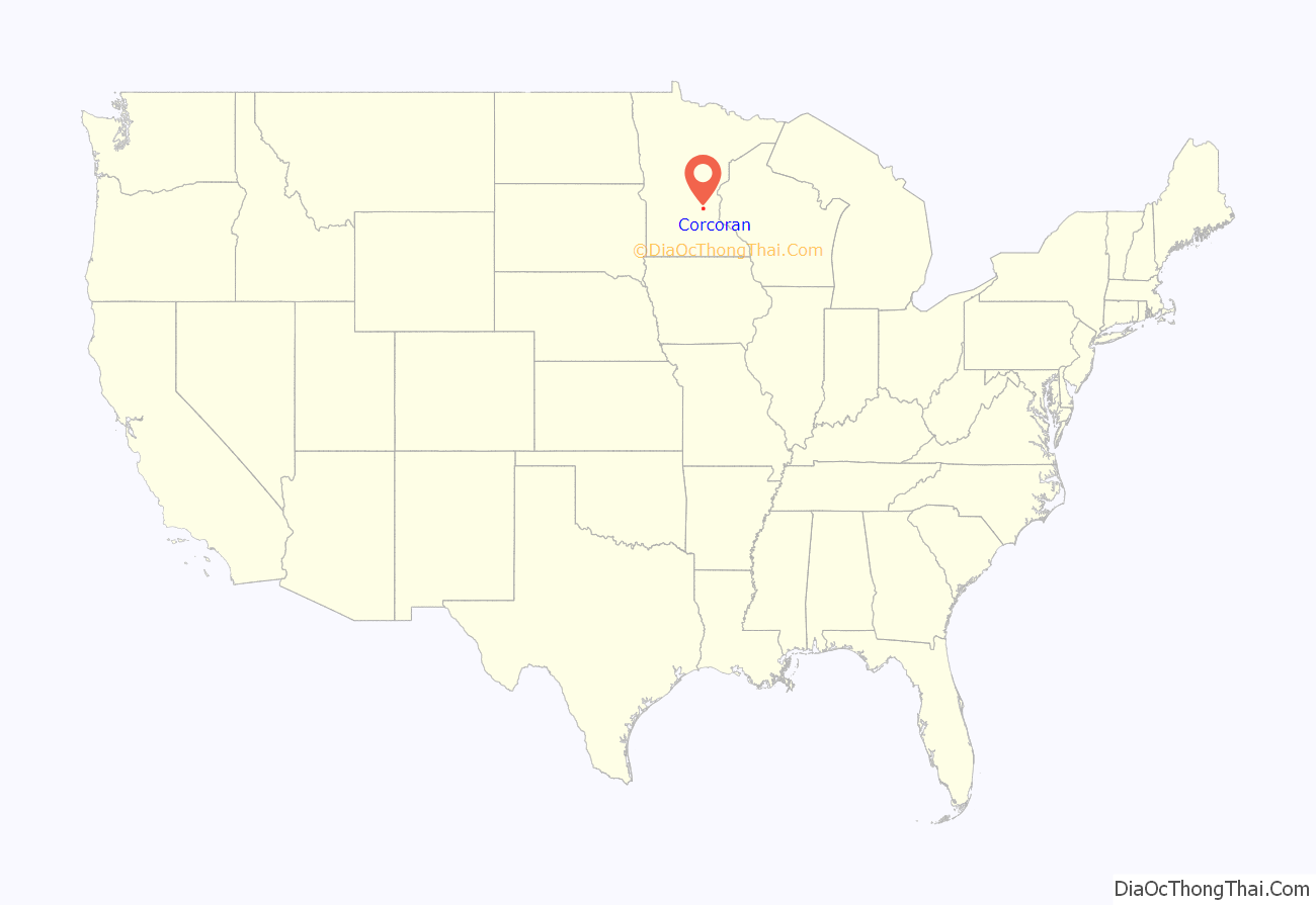
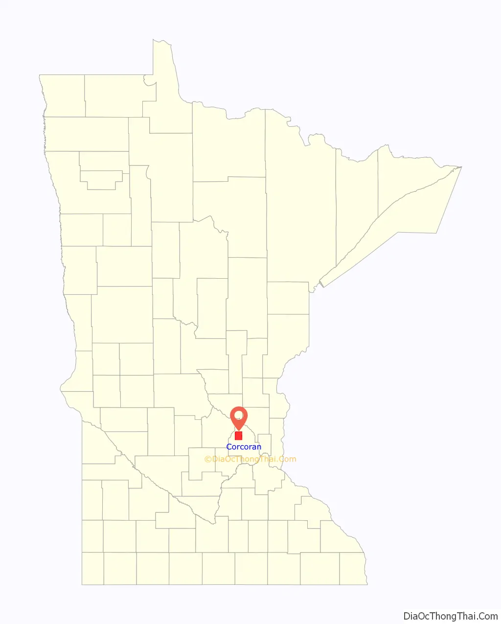
Corcoran location map. Where is Corcoran city?
History
Corcoran was settled in 1855, and was organized on May 11, 1858. The city is named after Patrick B. Corcoran, the first schoolteacher, merchant, and postmaster of the town. Patrick B. Corcoran was originally from Ireland, but moved to the United States in 1847, and to Hennepin County in 1855. The city of Corcoran was incorporated on December 4, 1948.
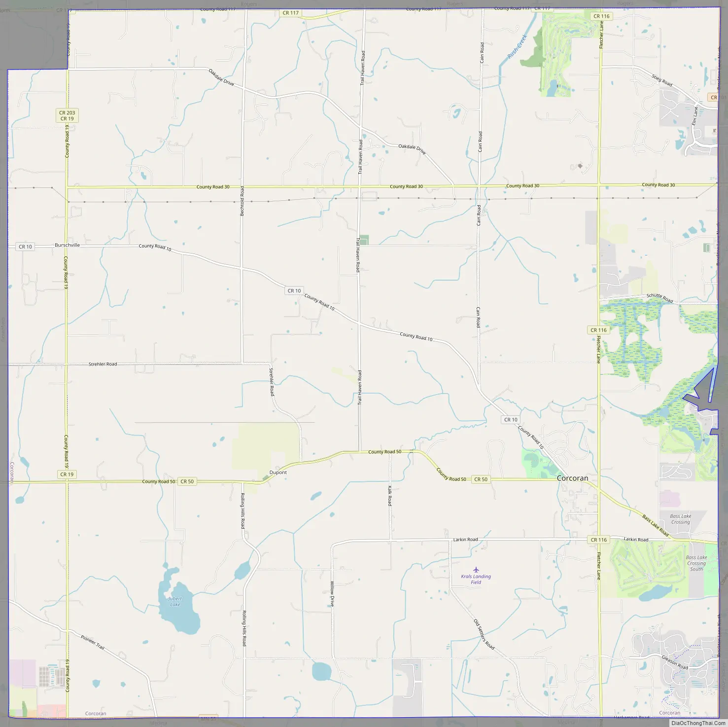
Corcoran Road Map
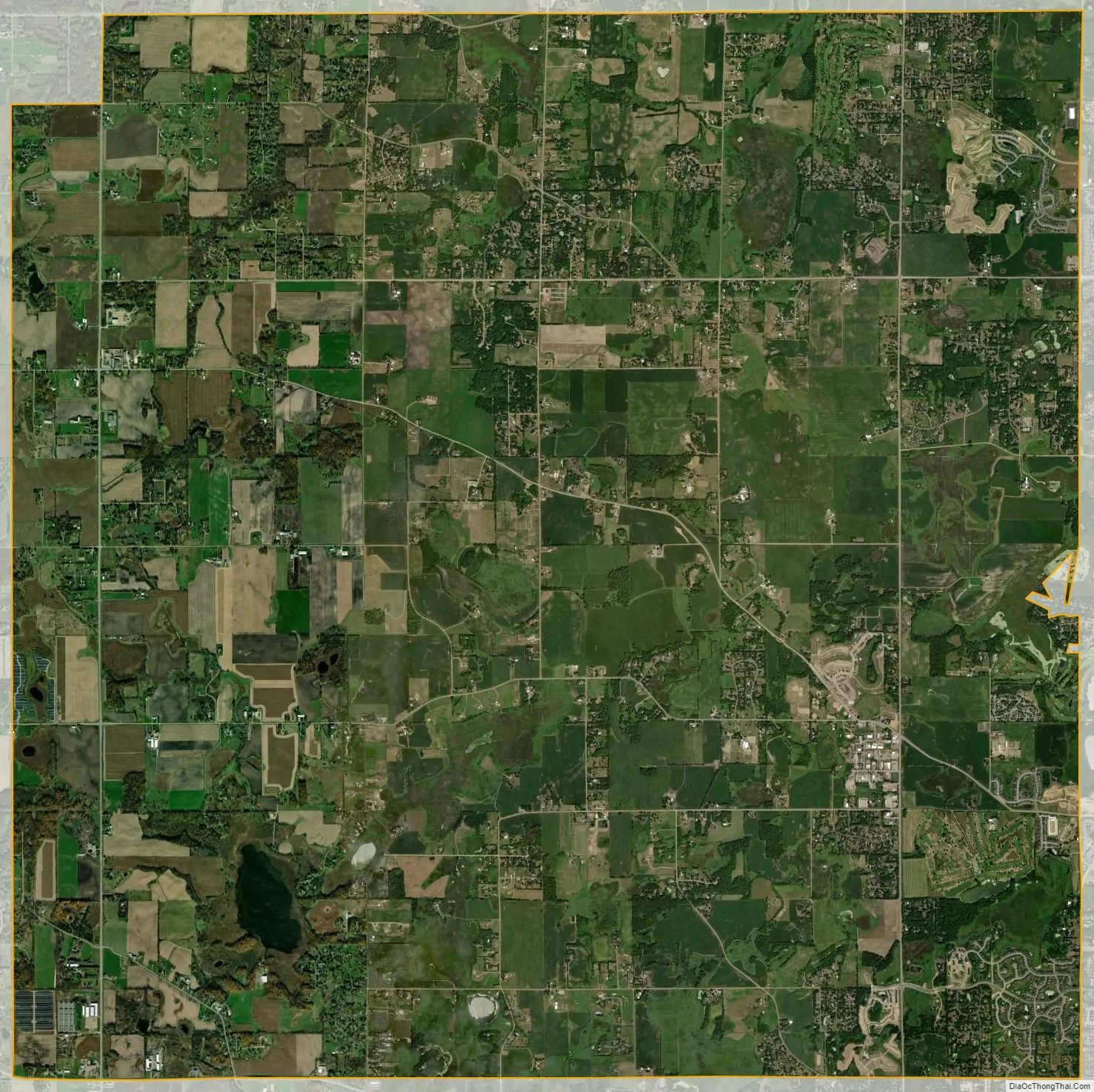
Corcoran city Satellite Map
Geography
According to the United States Census Bureau, the city has a total area of 36.00 square miles (93.24 km), of which 35.72 square miles (92.51 km) is land and 0.28 square miles (0.73 km) is water. County Roads 10, 19, 30, 50, 116, and 117 are six of the main routes. Minnesota State Highway 55 briefly passes along the southern edge of the city.
Corcoran shares borders with five cities. Maple Grove to the east, Medina to the south, Greenfield to the west, Rogers to the north, and Hanover in the northwest portion of the city. Dayton, Plymouth, Rockford, and Loretto are located close to Corcoran.
See also
Map of Minnesota State and its subdivision:- Aitkin
- Anoka
- Becker
- Beltrami
- Benton
- Big Stone
- Blue Earth
- Brown
- Carlton
- Carver
- Cass
- Chippewa
- Chisago
- Clay
- Clearwater
- Cook
- Cottonwood
- Crow Wing
- Dakota
- Dodge
- Douglas
- Faribault
- Fillmore
- Freeborn
- Goodhue
- Grant
- Hennepin
- Houston
- Hubbard
- Isanti
- Itasca
- Jackson
- Kanabec
- Kandiyohi
- Kittson
- Koochiching
- Lac qui Parle
- Lake
- Lake of the Woods
- Lake Superior
- Le Sueur
- Lincoln
- Lyon
- Mahnomen
- Marshall
- Martin
- McLeod
- Meeker
- Mille Lacs
- Morrison
- Mower
- Murray
- Nicollet
- Nobles
- Norman
- Olmsted
- Otter Tail
- Pennington
- Pine
- Pipestone
- Polk
- Pope
- Ramsey
- Red Lake
- Redwood
- Renville
- Rice
- Rock
- Roseau
- Saint Louis
- Scott
- Sherburne
- Sibley
- Stearns
- Steele
- Stevens
- Swift
- Todd
- Traverse
- Wabasha
- Wadena
- Waseca
- Washington
- Watonwan
- Wilkin
- Winona
- Wright
- Yellow Medicine
- Alabama
- Alaska
- Arizona
- Arkansas
- California
- Colorado
- Connecticut
- Delaware
- District of Columbia
- Florida
- Georgia
- Hawaii
- Idaho
- Illinois
- Indiana
- Iowa
- Kansas
- Kentucky
- Louisiana
- Maine
- Maryland
- Massachusetts
- Michigan
- Minnesota
- Mississippi
- Missouri
- Montana
- Nebraska
- Nevada
- New Hampshire
- New Jersey
- New Mexico
- New York
- North Carolina
- North Dakota
- Ohio
- Oklahoma
- Oregon
- Pennsylvania
- Rhode Island
- South Carolina
- South Dakota
- Tennessee
- Texas
- Utah
- Vermont
- Virginia
- Washington
- West Virginia
- Wisconsin
- Wyoming


