Ham Lake is a city in Anoka County, Minnesota, United States. It is a suburb in the Minneapolis–Saint Paul metropolitan area. The population was 15,296 at the 2010 census. It is in the Anoka-Hennepin School District, one of Minnesota’s largest school districts.
| Name: | Ham Lake city |
|---|---|
| LSAD Code: | 25 |
| LSAD Description: | city (suffix) |
| State: | Minnesota |
| County: | Anoka County |
| Elevation: | 896 ft (273 m) |
| Total Area: | 35.86 sq mi (92.88 km²) |
| Land Area: | 34.41 sq mi (89.13 km²) |
| Water Area: | 1.45 sq mi (3.75 km²) |
| Total Population: | 16,464 |
| Population Density: | 478.40/sq mi (184.71/km²) |
| ZIP code: | 55304 |
| Area code: | 763 |
| FIPS code: | 2726738 |
| GNISfeature ID: | 2394273 |
Online Interactive Map
Click on ![]() to view map in "full screen" mode.
to view map in "full screen" mode.
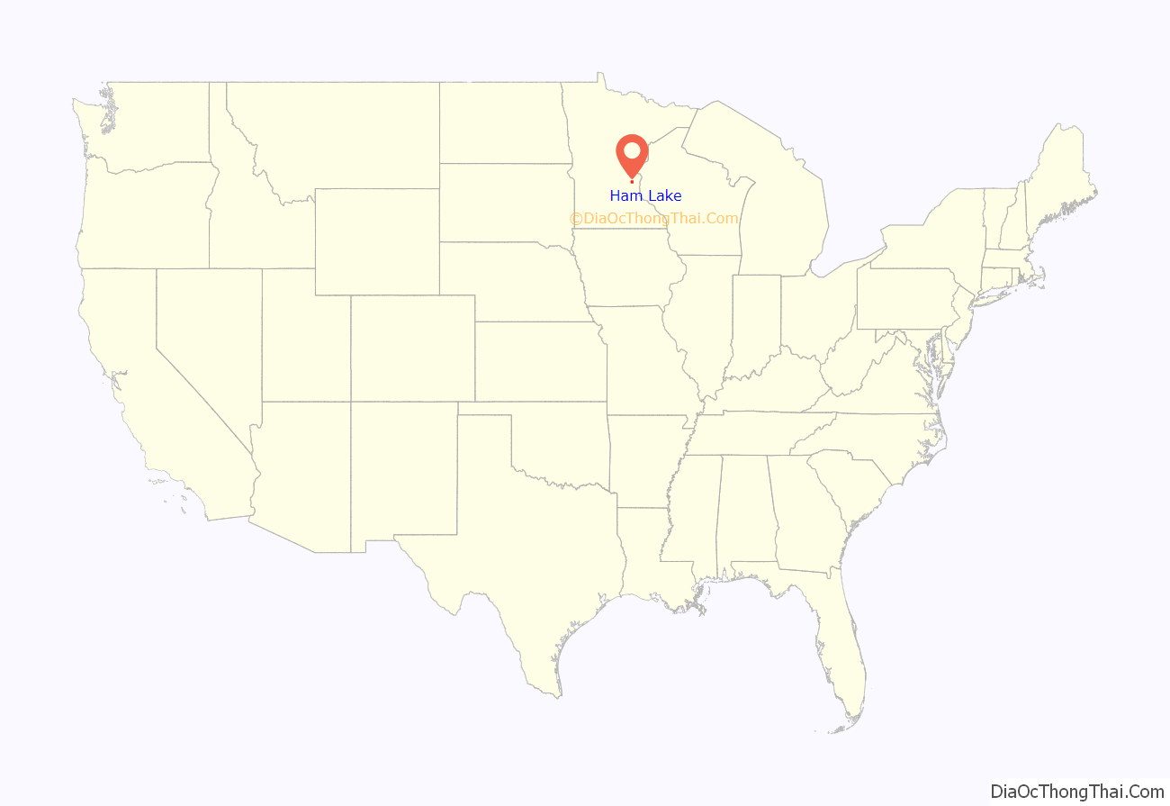
Ham Lake location map. Where is Ham Lake city?
History
The earliest record of settlers in the Ham Lake area goes back to 1855, and in 1856, settlers established a town just south and west of a lake shaped like a ham. The settlers platted and sold lots for a community they named Glen Carey, a Scottish name meaning “beautiful valley”. The location was widely advertised as a future city. In 1857, all the houses were destroyed by a prairie fire. Some of the inhabitants barely escaped with their lives, saving only a few household goods. The settlers soon left the area as they had nowhere to live.
There was no more settlement until 1866, when a Norwegian man settled in the area. He was soon followed by other Scandinavians. The Scandinavian settlers found it difficult to pronounce “Glen Carey”. Since no official name had been chosen by the people, the commissioners named it Ham Lake.
Early settlers found the soil well-suited to farming as it was not as rocky as Scandinavia’s. Dairying became an important industry. The pioneer farmers soon found the soil suited to growing potatoes and this became an important commodity for both cash sales and trading. Ham Lake Township split from Grow Township (Andover) in 1871. In 1872, immigrants built the Swedish Evangelical Lutheran Church.
From the early 1900s through the 1930s, potato farming was at its peak in what was then Ham Lake Township. Some of the farms remaining today are the sod farms in southeastern Ham Lake, where the ground is low and the soil black and heavy, making it well suited to this crop, as well as corn and potatoes in some places.
In 1894, when the population was over 400, a group of farmers formed a cooperative and built a creamery. Several general stores were built there shortly afterward. What became the main store in town, Soderquist’s, was built on land sold to the Soderquist family by the Olson family, who had extensive landholdings along what later became Highway 65. As in many small American communities, over time all the “old” families became related through marriage. Although many of the establishing families have since moved out of Ham Lake due to increasing property taxes and crowding, these familial connections remain, and many members of the families are still in close contact.
In 1922, a service garage opened in northern Ham Lake.
A Fire Department was established in 1969, with Eldon Hentges as the first fire chief.
Ham Lake officially became a city on January 8, 1974, with Hentges serving as the first mayor.
Ham Lake Road Map
Ham Lake city Satellite Map
Geography
According to the United States Census Bureau, the city has an area of 35.71 square miles (92.49 km), of which 34.39 square miles (89.07 km) is land and 1.32 square miles (3.42 km) is water.
Ham Lake is in central Anoka County.
Adjacent cities
- Bethel (north)
- East Bethel (north)
- Columbus (east)
- Lino Lakes (southeast)
- Blaine (south)
- Coon Rapids (southwest)
- Andover (west)
- Oak Grove (northwest)
The community of Soderville is in northern Ham Lake.
See also
Map of Minnesota State and its subdivision:- Aitkin
- Anoka
- Becker
- Beltrami
- Benton
- Big Stone
- Blue Earth
- Brown
- Carlton
- Carver
- Cass
- Chippewa
- Chisago
- Clay
- Clearwater
- Cook
- Cottonwood
- Crow Wing
- Dakota
- Dodge
- Douglas
- Faribault
- Fillmore
- Freeborn
- Goodhue
- Grant
- Hennepin
- Houston
- Hubbard
- Isanti
- Itasca
- Jackson
- Kanabec
- Kandiyohi
- Kittson
- Koochiching
- Lac qui Parle
- Lake
- Lake of the Woods
- Lake Superior
- Le Sueur
- Lincoln
- Lyon
- Mahnomen
- Marshall
- Martin
- McLeod
- Meeker
- Mille Lacs
- Morrison
- Mower
- Murray
- Nicollet
- Nobles
- Norman
- Olmsted
- Otter Tail
- Pennington
- Pine
- Pipestone
- Polk
- Pope
- Ramsey
- Red Lake
- Redwood
- Renville
- Rice
- Rock
- Roseau
- Saint Louis
- Scott
- Sherburne
- Sibley
- Stearns
- Steele
- Stevens
- Swift
- Todd
- Traverse
- Wabasha
- Wadena
- Waseca
- Washington
- Watonwan
- Wilkin
- Winona
- Wright
- Yellow Medicine
- Alabama
- Alaska
- Arizona
- Arkansas
- California
- Colorado
- Connecticut
- Delaware
- District of Columbia
- Florida
- Georgia
- Hawaii
- Idaho
- Illinois
- Indiana
- Iowa
- Kansas
- Kentucky
- Louisiana
- Maine
- Maryland
- Massachusetts
- Michigan
- Minnesota
- Mississippi
- Missouri
- Montana
- Nebraska
- Nevada
- New Hampshire
- New Jersey
- New Mexico
- New York
- North Carolina
- North Dakota
- Ohio
- Oklahoma
- Oregon
- Pennsylvania
- Rhode Island
- South Carolina
- South Dakota
- Tennessee
- Texas
- Utah
- Vermont
- Virginia
- Washington
- West Virginia
- Wisconsin
- Wyoming
