Eagan (/ˈiːɡən/ EE-gən) is a city in Dakota County, Minnesota. It is south of Saint Paul and lies on the south bank of the Minnesota River, upstream from the confluence with the Mississippi River. Eagan and the other nearby suburbs form the southern section of the Minneapolis–Saint Paul area. Eagan’s population was 68,855 at the 2020 census. The city was home to the headquarters of Northwest Airlines (now Delta Air Lines).
| Name: | Eagan city |
|---|---|
| LSAD Code: | 25 |
| LSAD Description: | city (suffix) |
| State: | Minnesota |
| County: | Dakota County |
| Incorporated: | 1972 |
| Elevation: | 958 ft (288 m) |
| Land Area: | 31.18 sq mi (80.75 km²) |
| Water Area: | 2.28 sq mi (5.90 km²) |
| Population Density: | 2,208.31/sq mi (852.64/km²) |
| Area code: | 651 |
| FIPS code: | 2717288 |
| Website: | cityofeagan.com |
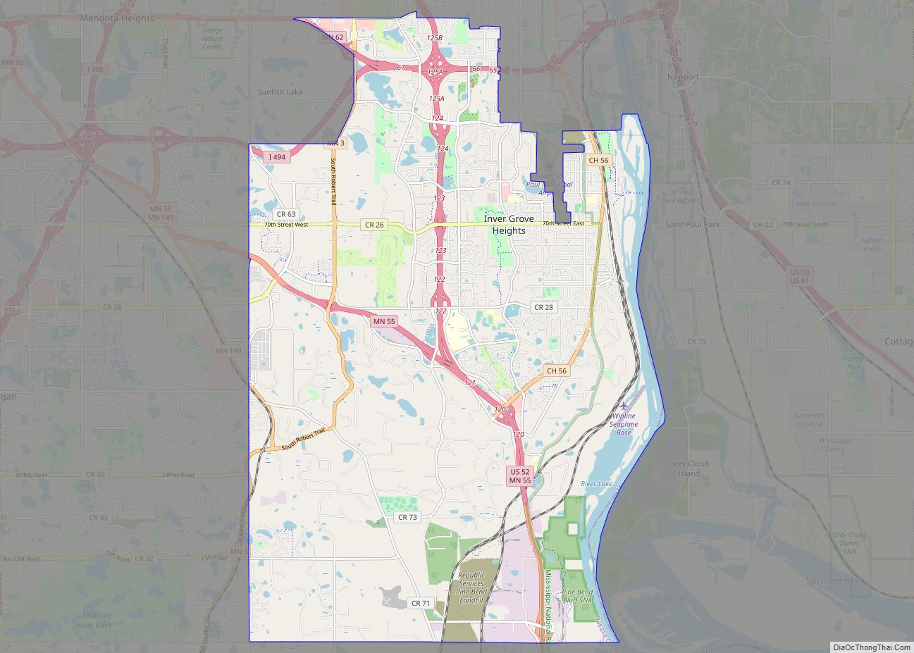
Online Interactive Map
Click on ![]() to view map in "full screen" mode.
to view map in "full screen" mode.
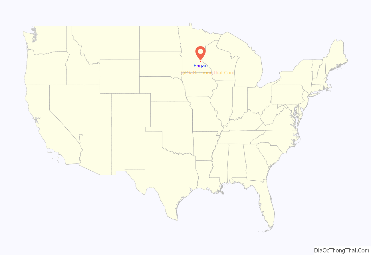
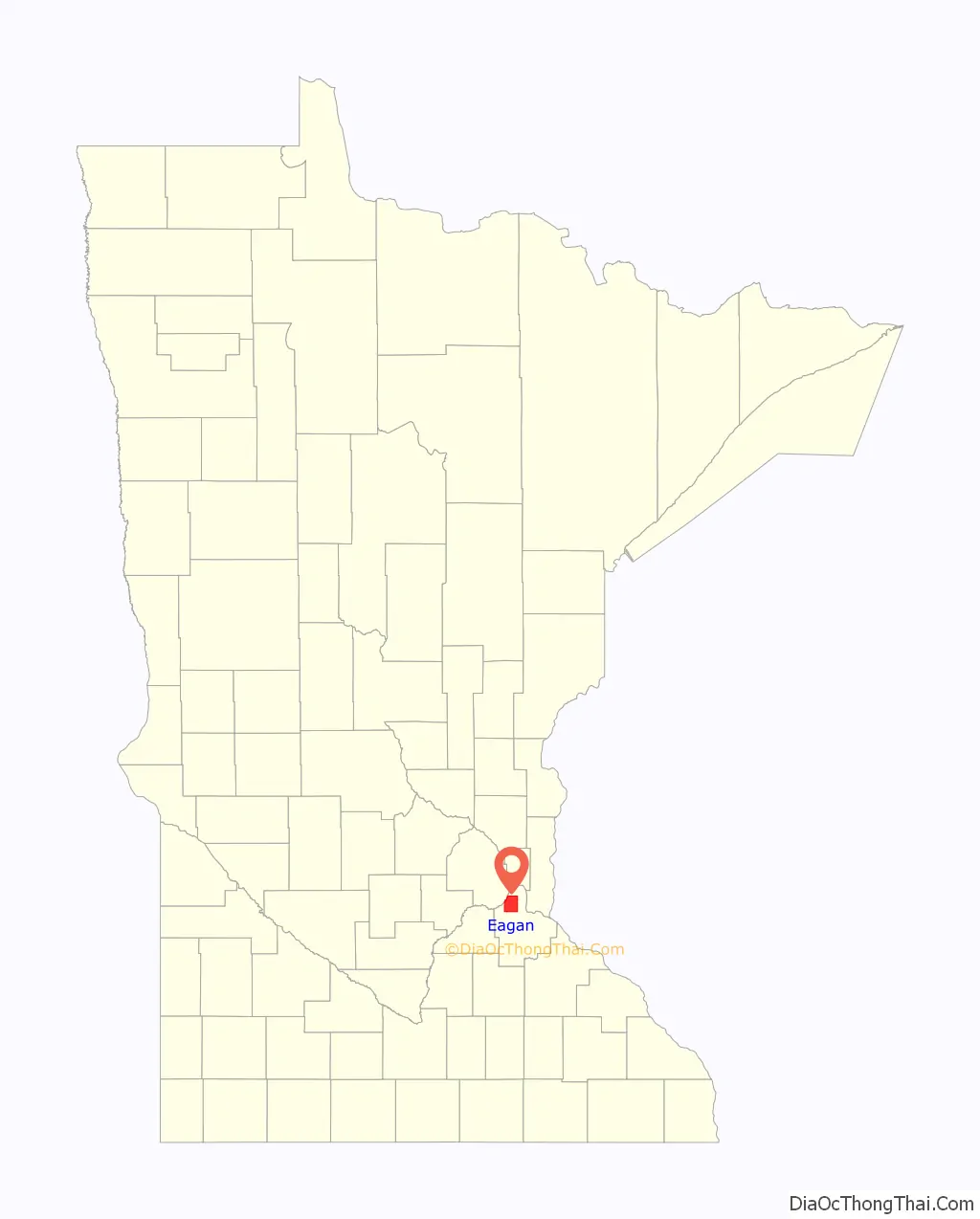
Eagan location map. Where is Eagan city?
History
Eagan was named for Patrick Eagan, who was the first chairman of the town board of supervisors. He farmed a 220-acre (0.89 km) parcel of land near the present-day town hall. Eagan (born 1811) and his wife Margaret Twohy (born 1816) emigrated from Tipperary, Ireland to Troy, New York, where they married in 1843. They arrived in Mendota circa 1853–54, before settling in the Eagan area.
Eagan was settled as an Irish farming community and “Onion Capital of the United States”. Its largest growth took place after Highway 77 was relocated and expanded and a six-lane bridge (with three northbound and three southbound lanes) was constructed over the Minnesota River in 1980 and the final Interstate 35E freeway section southbound from Minnesota State Highway 110 in Mendota Heights to the area where it joins 35W in Burnsville was completed in the mid-1980s. Eagan’s northern border is mostly along Interstate 494. Its southern border is about a mile south of Cliff Road. Its eastern border runs mostly along Minnesota State Highway 3. The western border runs mostly along the Minnesota River’s south bank.
The city was visited by the “20th hijacker” of the September 11 attacks, Zacarias Moussaoui, before the attacks. Moussaoui attempted to complete flight training school, but was ultimately refused service by a local resident.
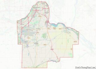
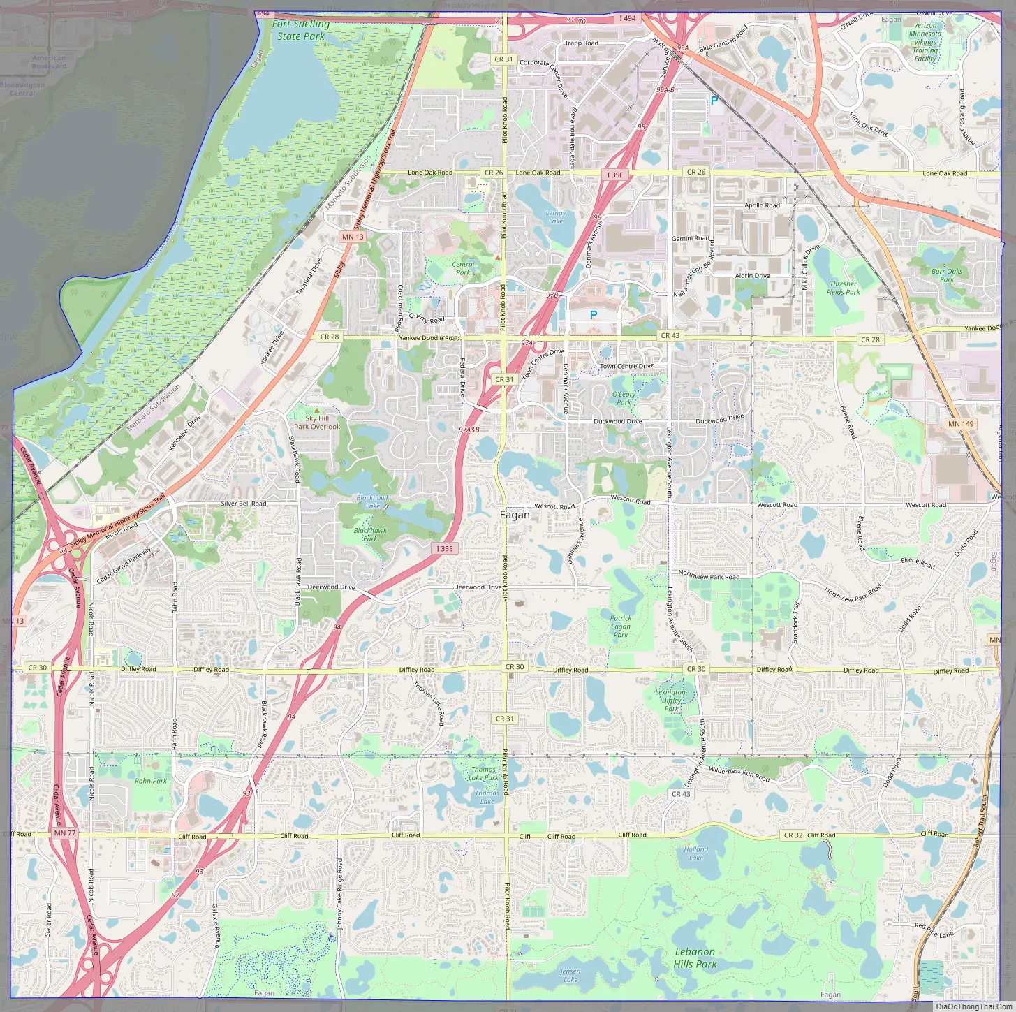
Eagan Road Map
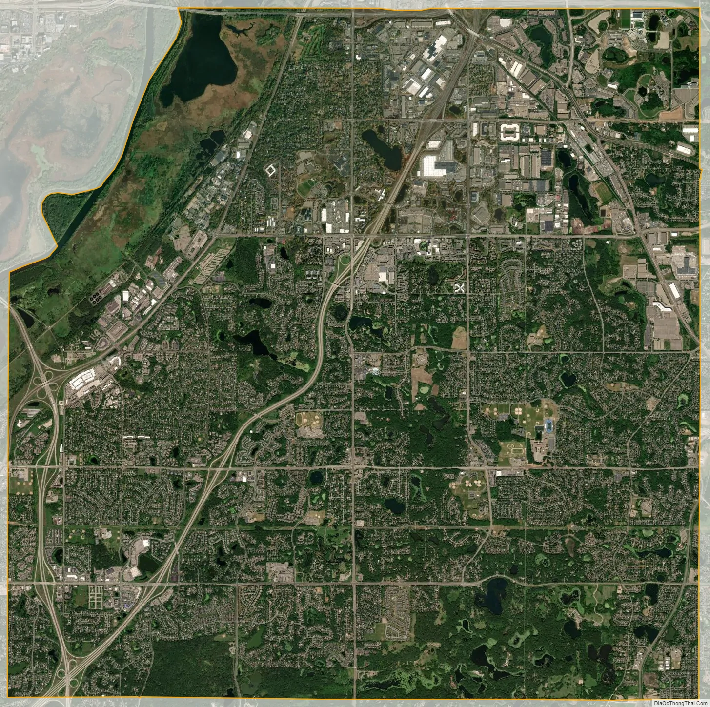
Eagan city Satellite Map
Geography
According to the United States Census Bureau, the city has a total area of 33.43 square miles (86.58 km), of which 31.12 square miles (80.60 km) is land and 2.31 square miles (5.98 km) is water.
Interstate Highway 35E, Interstate Highway 494, Minnesota Highways 13, 55, 77, and 149 are six of Eagan’s main routes.
The Eagan Core Greenway is an ongoing project to preserve Eagan’s environmentally sensitive green space, with particular emphasis on Patrick Eagan Park and the two-mile (3 km) greenway connecting the park with Lebanon Hills Regional Park.
Cascade Bay
Civic Arena
See also
Map of Minnesota State and its subdivision:- Aitkin
- Anoka
- Becker
- Beltrami
- Benton
- Big Stone
- Blue Earth
- Brown
- Carlton
- Carver
- Cass
- Chippewa
- Chisago
- Clay
- Clearwater
- Cook
- Cottonwood
- Crow Wing
- Dakota
- Dodge
- Douglas
- Faribault
- Fillmore
- Freeborn
- Goodhue
- Grant
- Hennepin
- Houston
- Hubbard
- Isanti
- Itasca
- Jackson
- Kanabec
- Kandiyohi
- Kittson
- Koochiching
- Lac qui Parle
- Lake
- Lake of the Woods
- Lake Superior
- Le Sueur
- Lincoln
- Lyon
- Mahnomen
- Marshall
- Martin
- McLeod
- Meeker
- Mille Lacs
- Morrison
- Mower
- Murray
- Nicollet
- Nobles
- Norman
- Olmsted
- Otter Tail
- Pennington
- Pine
- Pipestone
- Polk
- Pope
- Ramsey
- Red Lake
- Redwood
- Renville
- Rice
- Rock
- Roseau
- Saint Louis
- Scott
- Sherburne
- Sibley
- Stearns
- Steele
- Stevens
- Swift
- Todd
- Traverse
- Wabasha
- Wadena
- Waseca
- Washington
- Watonwan
- Wilkin
- Winona
- Wright
- Yellow Medicine
- Alabama
- Alaska
- Arizona
- Arkansas
- California
- Colorado
- Connecticut
- Delaware
- District of Columbia
- Florida
- Georgia
- Hawaii
- Idaho
- Illinois
- Indiana
- Iowa
- Kansas
- Kentucky
- Louisiana
- Maine
- Maryland
- Massachusetts
- Michigan
- Minnesota
- Mississippi
- Missouri
- Montana
- Nebraska
- Nevada
- New Hampshire
- New Jersey
- New Mexico
- New York
- North Carolina
- North Dakota
- Ohio
- Oklahoma
- Oregon
- Pennsylvania
- Rhode Island
- South Carolina
- South Dakota
- Tennessee
- Texas
- Utah
- Vermont
- Virginia
- Washington
- West Virginia
- Wisconsin
- Wyoming