Nowthen is a city in Anoka County, Minnesota, United States. The population was 4,536 at the 2020 census.
| Name: | Nowthen city |
|---|---|
| LSAD Code: | 25 |
| LSAD Description: | city (suffix) |
| State: | Minnesota |
| County: | Anoka County |
| Incorporated: | 2008 |
| Elevation: | 925 ft (282 m) |
| Total Area: | 35.19 sq mi (91.15 km²) |
| Land Area: | 33.66 sq mi (87.17 km²) |
| Water Area: | 1.54 sq mi (3.98 km²) |
| Total Population: | 4,536 |
| Population Density: | 134.78/sq mi (52.04/km²) |
| Area code: | 763 |
| FIPS code: | 2747536 |
| GNISfeature ID: | 2437910 |
| Website: | www.cityofnowthen.com |
Online Interactive Map
Click on ![]() to view map in "full screen" mode.
to view map in "full screen" mode.
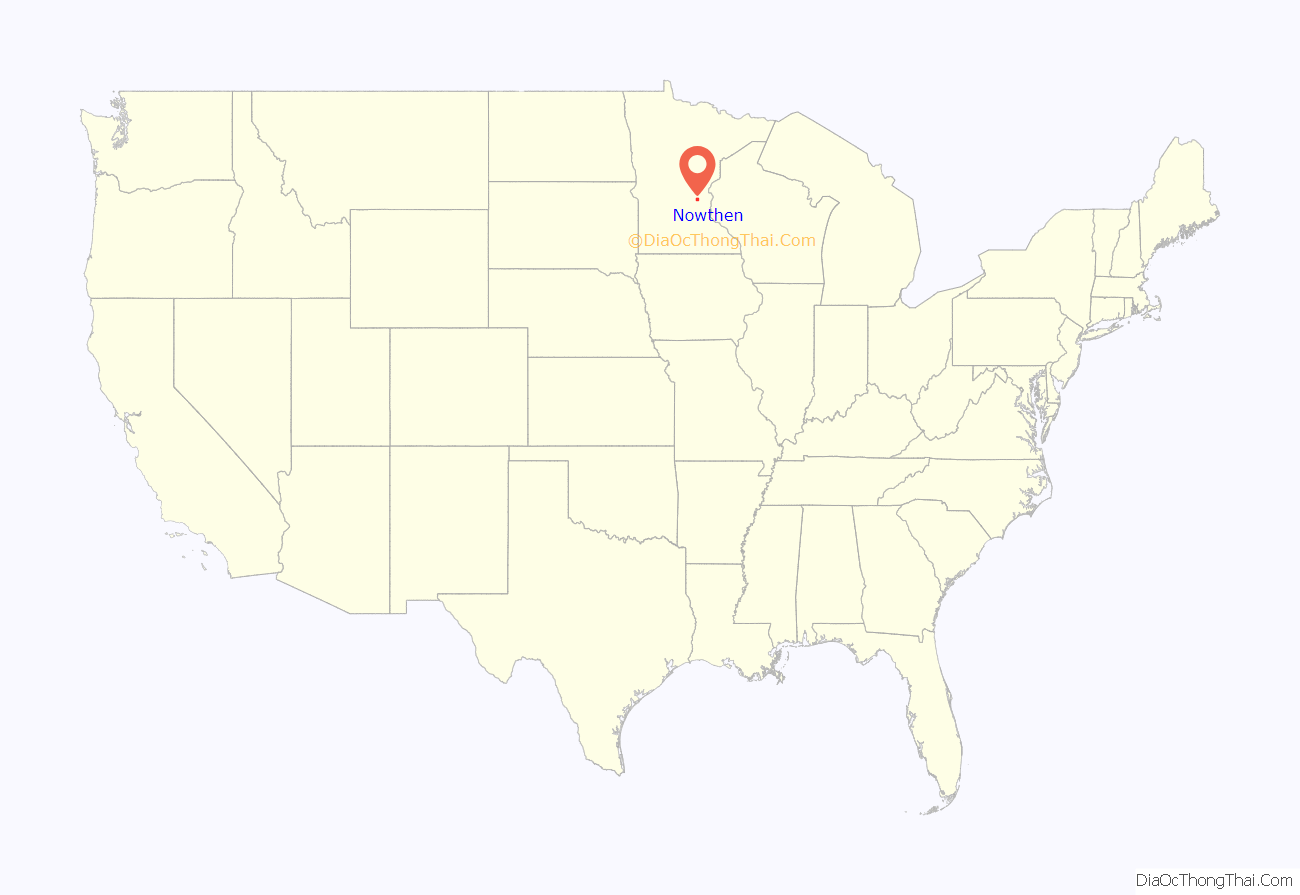
Nowthen location map. Where is Nowthen city?
History
In 1869, Burns Township broke off from St. Francis Township.
The city was formerly known as Burns Township until June 30, 2008, when it was incorporated as the city of Nowthen. The drive toward incorporation started at the township’s annual meeting in March 2007, when residents decided to incorporate in order to prevent annexation by other nearby cities. The name originated from an unincorporated community named Nowthen near the intersection of County Roads 5 and 22 within the former township. “Nowthen” was coined by the town’s first postmaster, James Hare, who had the habit of saying “Now, then” in conversation.
Nowthen Road Map
Nowthen city Satellite Map
Geography
According to the United States Census Bureau, the city has a total area of 35.10 square miles (90.91 km), of which 33.56 square miles (86.92 km) is land and 1.54 square miles (3.99 km) is water. Nowthen is located in the northwestern section of Anoka County.
Minnesota State Highway 47 and County Road 22 are two of the main routes in the community.
Nearby places include St. Francis, Oak Grove, Andover, Ramsey, and Elk River. Nowthen is located 12 miles north-northwest of the city of Anoka.
See also
Map of Minnesota State and its subdivision:- Aitkin
- Anoka
- Becker
- Beltrami
- Benton
- Big Stone
- Blue Earth
- Brown
- Carlton
- Carver
- Cass
- Chippewa
- Chisago
- Clay
- Clearwater
- Cook
- Cottonwood
- Crow Wing
- Dakota
- Dodge
- Douglas
- Faribault
- Fillmore
- Freeborn
- Goodhue
- Grant
- Hennepin
- Houston
- Hubbard
- Isanti
- Itasca
- Jackson
- Kanabec
- Kandiyohi
- Kittson
- Koochiching
- Lac qui Parle
- Lake
- Lake of the Woods
- Lake Superior
- Le Sueur
- Lincoln
- Lyon
- Mahnomen
- Marshall
- Martin
- McLeod
- Meeker
- Mille Lacs
- Morrison
- Mower
- Murray
- Nicollet
- Nobles
- Norman
- Olmsted
- Otter Tail
- Pennington
- Pine
- Pipestone
- Polk
- Pope
- Ramsey
- Red Lake
- Redwood
- Renville
- Rice
- Rock
- Roseau
- Saint Louis
- Scott
- Sherburne
- Sibley
- Stearns
- Steele
- Stevens
- Swift
- Todd
- Traverse
- Wabasha
- Wadena
- Waseca
- Washington
- Watonwan
- Wilkin
- Winona
- Wright
- Yellow Medicine
- Alabama
- Alaska
- Arizona
- Arkansas
- California
- Colorado
- Connecticut
- Delaware
- District of Columbia
- Florida
- Georgia
- Hawaii
- Idaho
- Illinois
- Indiana
- Iowa
- Kansas
- Kentucky
- Louisiana
- Maine
- Maryland
- Massachusetts
- Michigan
- Minnesota
- Mississippi
- Missouri
- Montana
- Nebraska
- Nevada
- New Hampshire
- New Jersey
- New Mexico
- New York
- North Carolina
- North Dakota
- Ohio
- Oklahoma
- Oregon
- Pennsylvania
- Rhode Island
- South Carolina
- South Dakota
- Tennessee
- Texas
- Utah
- Vermont
- Virginia
- Washington
- West Virginia
- Wisconsin
- Wyoming
