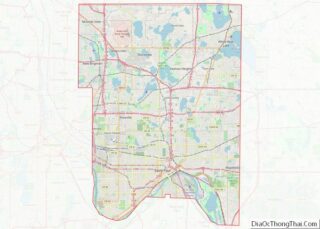
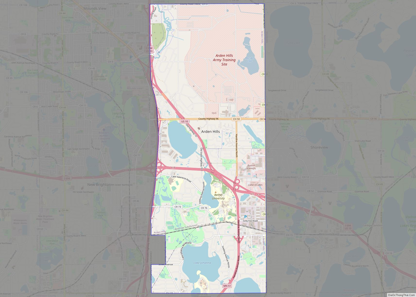
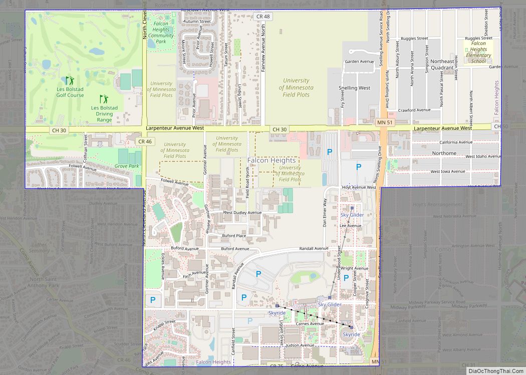
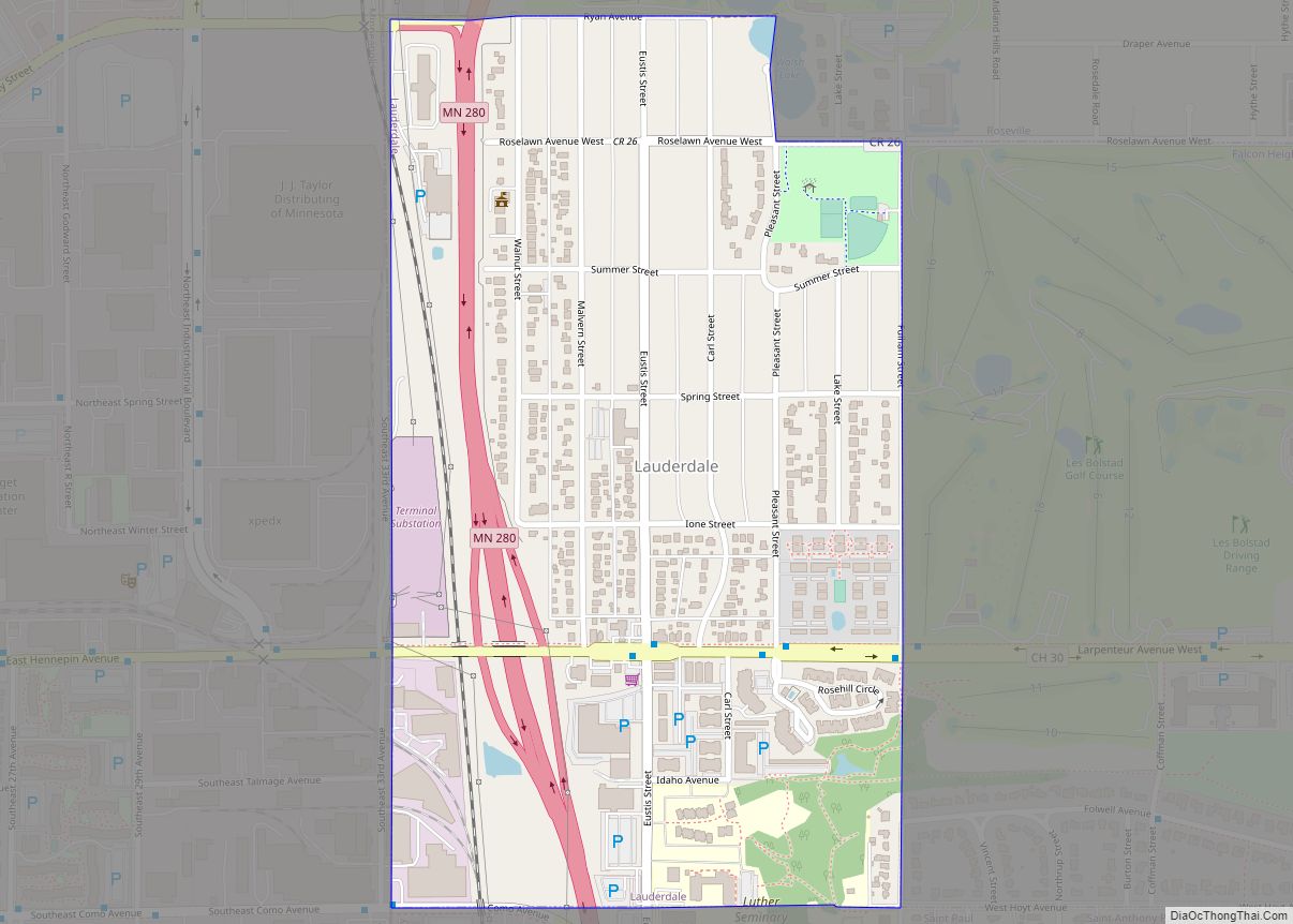
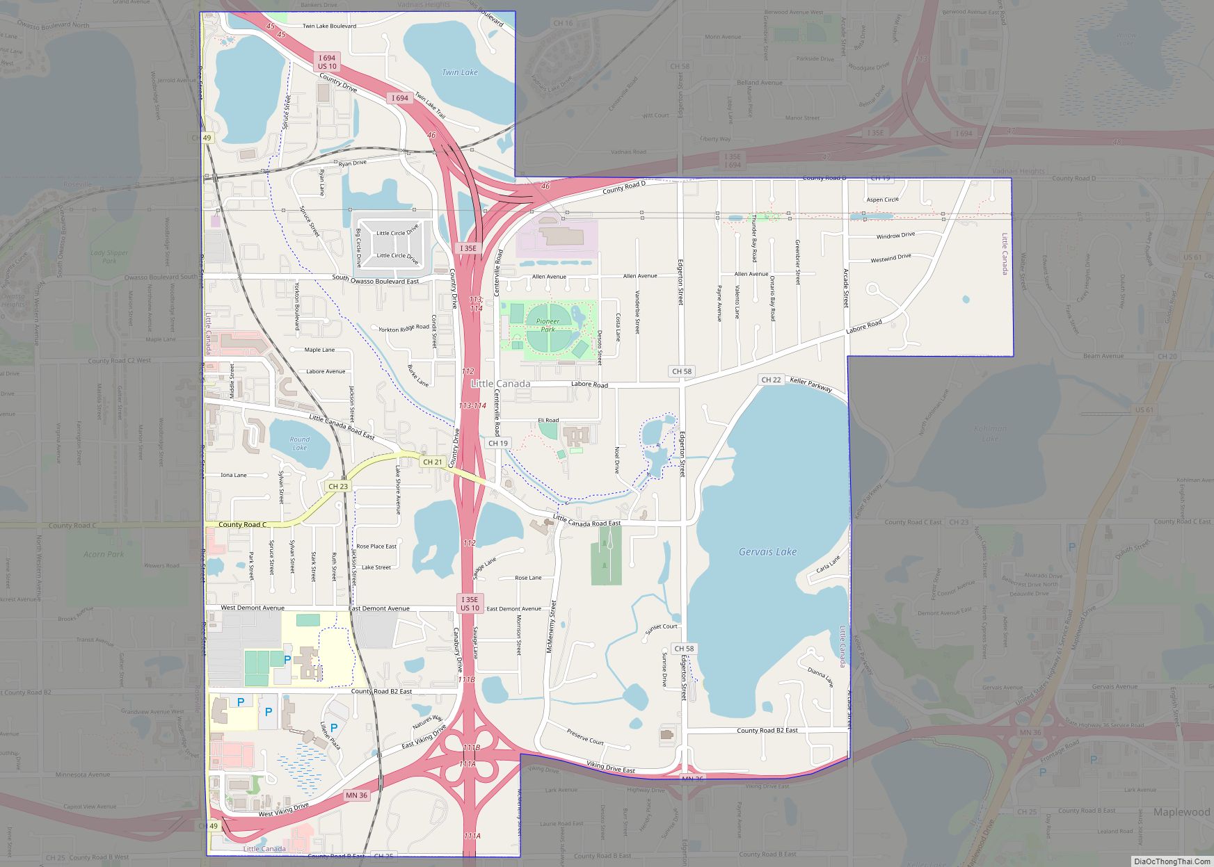
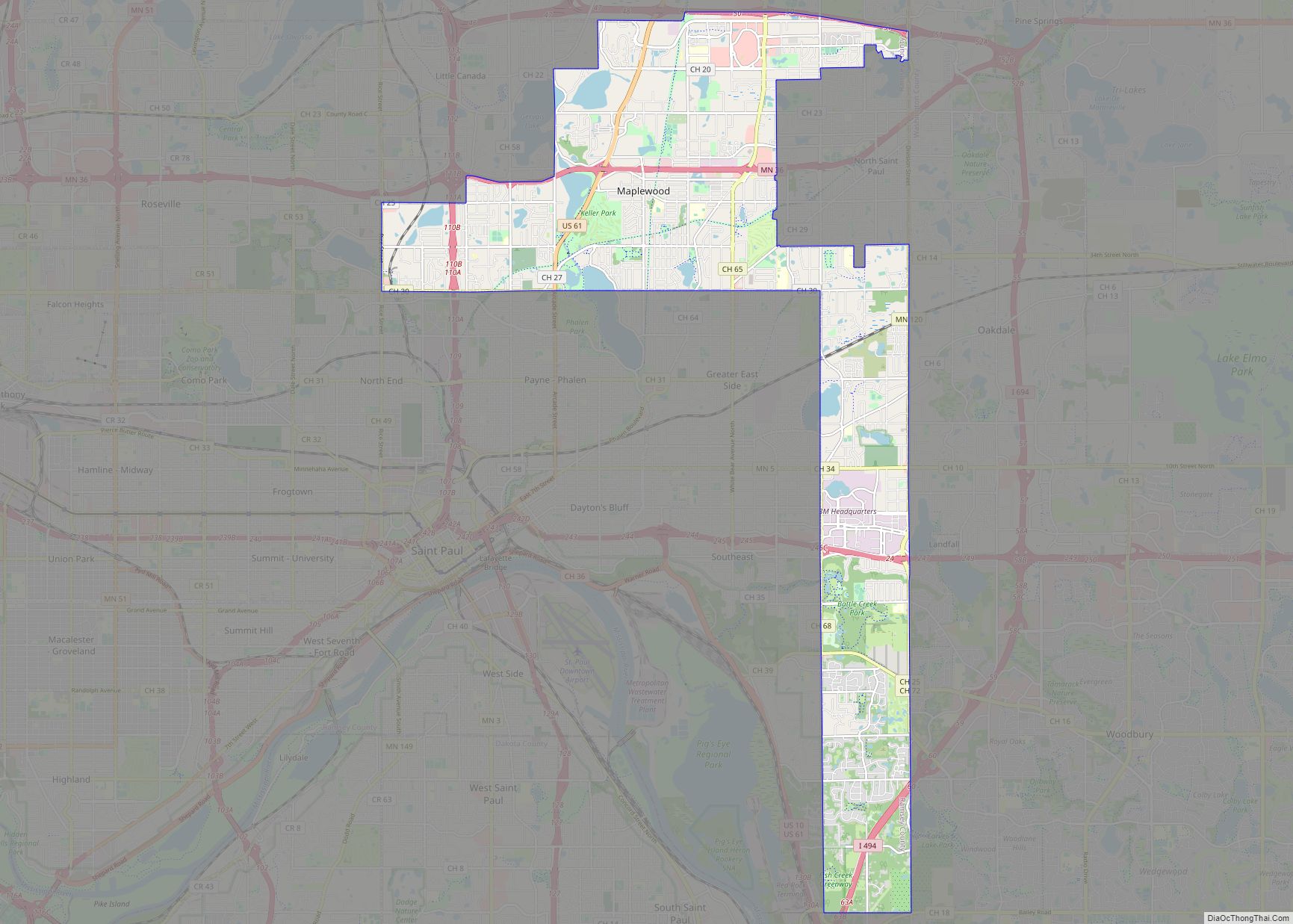
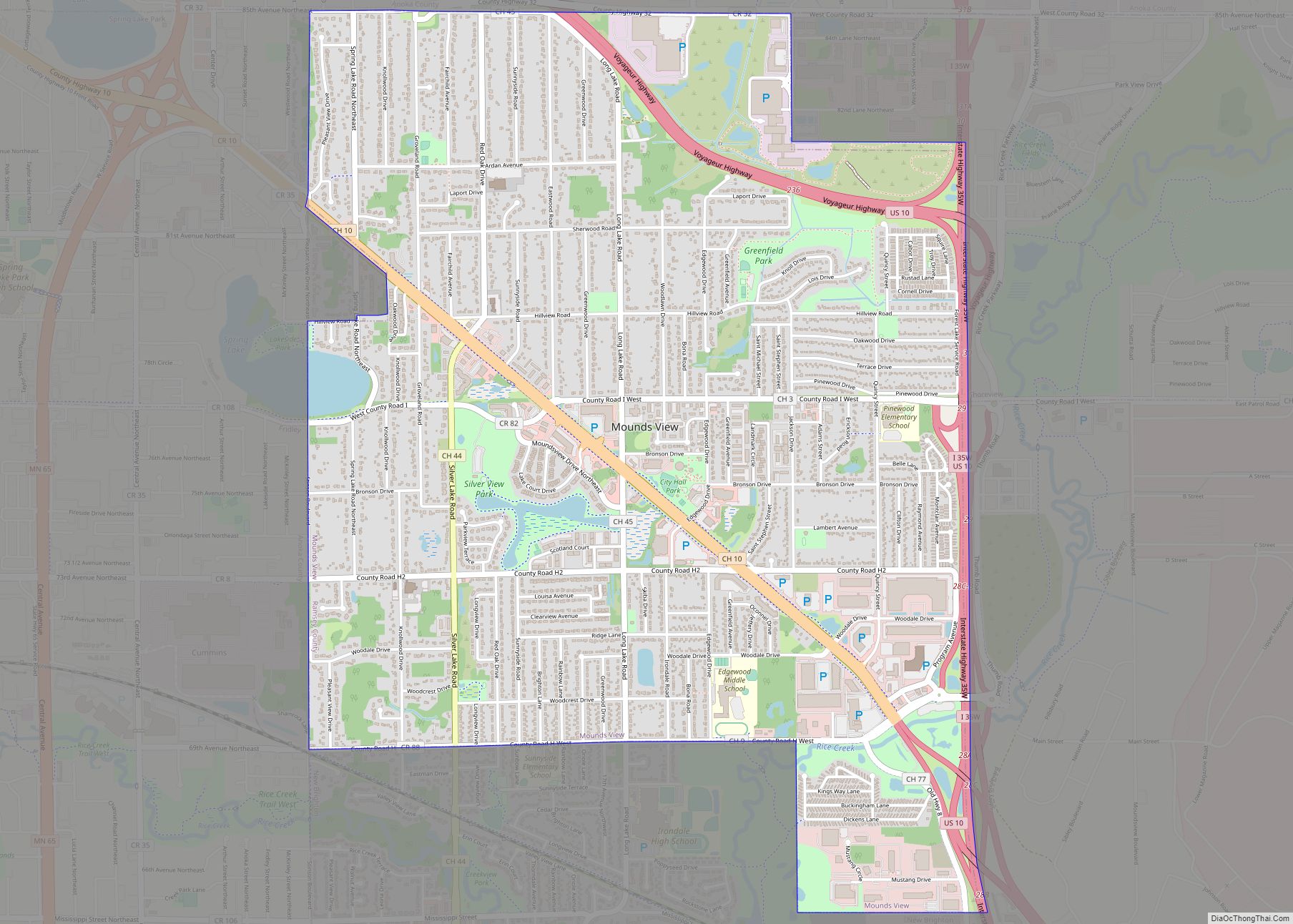
Roseville is a city in Ramsey County, Minnesota, United States. It is one of two Twin Cities suburbs that are adjacent to both Saint Paul and Minneapolis (the other is Lauderdale). The land comprising Falcon Heights, Lauderdale, and southern Roseville was unincorporated until Roseville incorporated in 1948 and Falcon Heights and Lauderdale incorporated in 1949. The population was 36,254 at the 2020 census.
| Name: | Roseville city |
|---|---|
| LSAD Code: | 25 |
| LSAD Description: | city (suffix) |
| State: | Minnesota |
| County: | Ramsey County |
| Incorporated: | 1948 |
| Elevation: | 958 ft (292 m) |
| Total Area: | 13.85 sq mi (35.86 km²) |
| Land Area: | 13.02 sq mi (33.72 km²) |
| Water Area: | 0.83 sq mi (2.14 km²) |
| Total Population: | 36,254 |
| Population Density: | 2,784.49/sq mi (1,075.11/km²) |
| ZIP code: | 55112, 55113 |
| Area code: | 651 |
| FIPS code: | 2755852 |
| GNISfeature ID: | 0650298 |
| Website: | ci.roseville.mn.us |
Online Interactive Map
Click on ![]() to view map in "full screen" mode.
to view map in "full screen" mode.
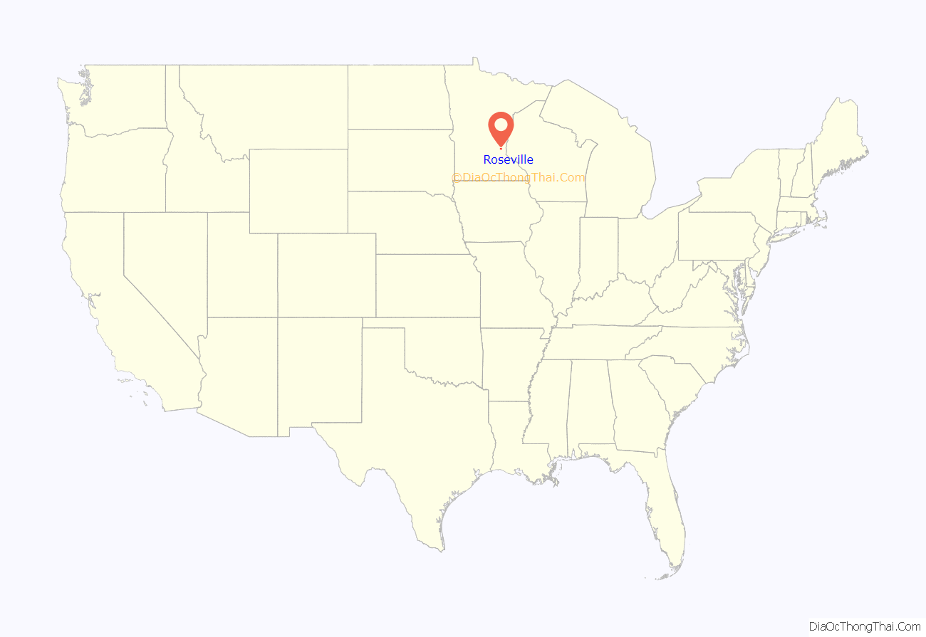
Roseville location map. Where is Roseville city?

History
Roseville’s land was originally settled by the Dakota and Ojibwe peoples. The first white settlers came in 1843, and the Native Americans left the area by 1862. Rose Township was established in 1858; it was named after one of the first settlers, Isaac Rose. The township included the areas now known as Roseville, Lauderdale, and Falcon Heights, as well as parts of present-day Saint Paul and Minneapolis. The area saw rapid growth through the 1930s and 1940s, and Roseville incorporated as a village in 1948 to accommodate it. Falcon Heights and Lauderdale soon followed suit, and Rose Township ceased to exist. The first Roseville Police Chief was Ray Goneau and he held that position until 1977.
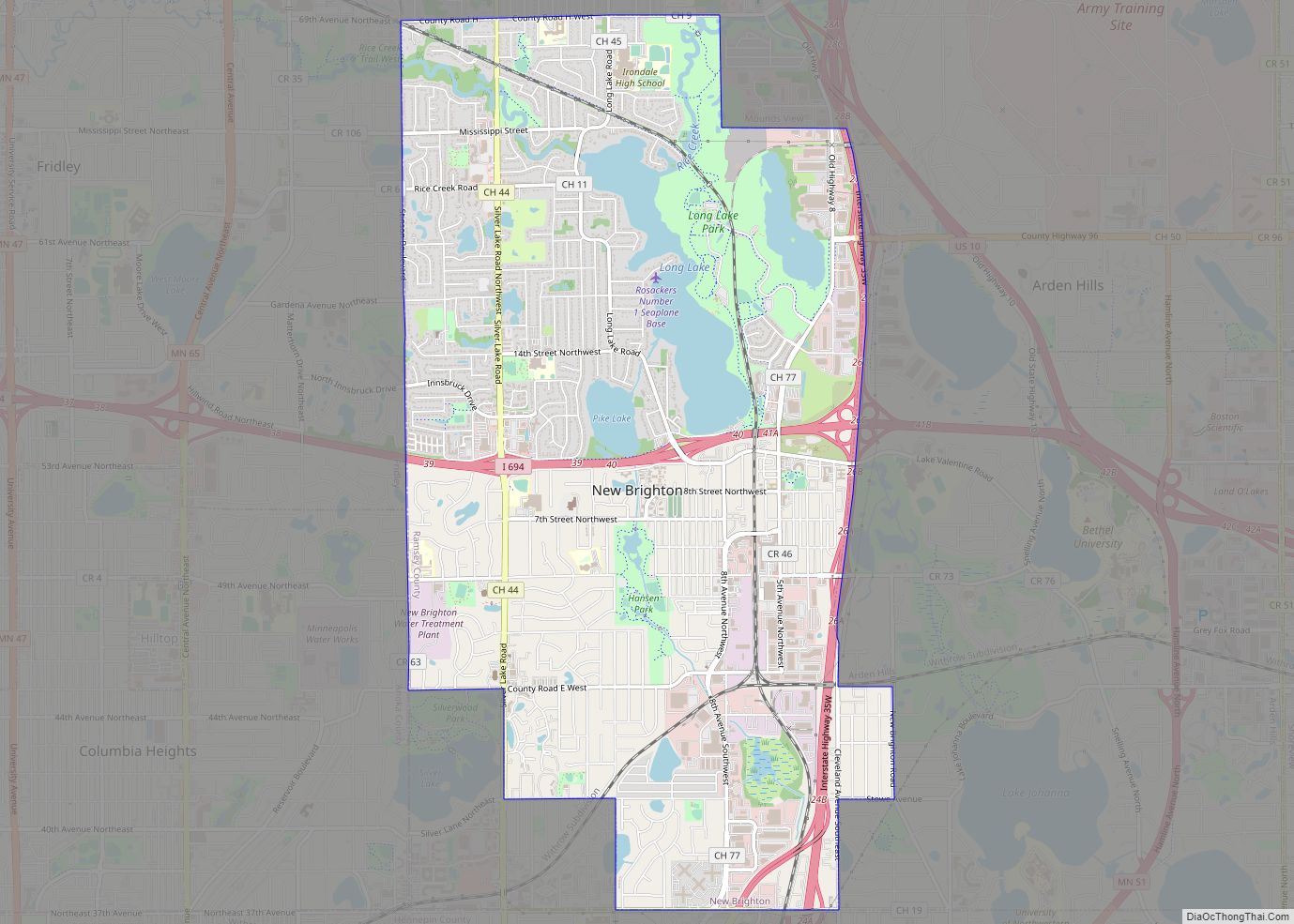
Roseville Road Map

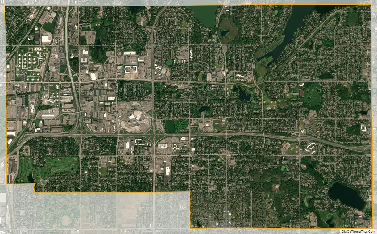
Roseville city Satellite Map
Geography
According to the United States Census Bureau, the city has an area of 13.84 square miles (35.85 km), of which 13.00 square miles (33.67 km) is land and 0.84 square miles (2.18 km) is water.
The 45th parallel crosses the city; a marker at the northeast corner of the intersection of Cleveland Avenue and Loren Road identifies the location.
Interstate Highway 35W and Minnesota Highways 36, 51 (Snelling Avenue), and 280 are the four main routes in Roseville.
See also
Map of Minnesota State and its subdivision:- Aitkin
- Anoka
- Becker
- Beltrami
- Benton
- Big Stone
- Blue Earth
- Brown
- Carlton
- Carver
- Cass
- Chippewa
- Chisago
- Clay
- Clearwater
- Cook
- Cottonwood
- Crow Wing
- Dakota
- Dodge
- Douglas
- Faribault
- Fillmore
- Freeborn
- Goodhue
- Grant
- Hennepin
- Houston
- Hubbard
- Isanti
- Itasca
- Jackson
- Kanabec
- Kandiyohi
- Kittson
- Koochiching
- Lac qui Parle
- Lake
- Lake of the Woods
- Lake Superior
- Le Sueur
- Lincoln
- Lyon
- Mahnomen
- Marshall
- Martin
- McLeod
- Meeker
- Mille Lacs
- Morrison
- Mower
- Murray
- Nicollet
- Nobles
- Norman
- Olmsted
- Otter Tail
- Pennington
- Pine
- Pipestone
- Polk
- Pope
- Ramsey
- Red Lake
- Redwood
- Renville
- Rice
- Rock
- Roseau
- Saint Louis
- Scott
- Sherburne
- Sibley
- Stearns
- Steele
- Stevens
- Swift
- Todd
- Traverse
- Wabasha
- Wadena
- Waseca
- Washington
- Watonwan
- Wilkin
- Winona
- Wright
- Yellow Medicine
- Alabama
- Alaska
- Arizona
- Arkansas
- California
- Colorado
- Connecticut
- Delaware
- District of Columbia
- Florida
- Georgia
- Hawaii
- Idaho
- Illinois
- Indiana
- Iowa
- Kansas
- Kentucky
- Louisiana
- Maine
- Maryland
- Massachusetts
- Michigan
- Minnesota
- Mississippi
- Missouri
- Montana
- Nebraska
- Nevada
- New Hampshire
- New Jersey
- New Mexico
- New York
- North Carolina
- North Dakota
- Ohio
- Oklahoma
- Oregon
- Pennsylvania
- Rhode Island
- South Carolina
- South Dakota
- Tennessee
- Texas
- Utah
- Vermont
- Virginia
- Washington
- West Virginia
- Wisconsin
- Wyoming