St. Michael is a city in eastern Wright County, northwest of the Minneapolis-St Paul “Twin Cities” Metropolitan Area. The population was 18,235 at the 2020 census.
| Name: | St. Michael city |
|---|---|
| LSAD Code: | 25 |
| LSAD Description: | city (suffix) |
| State: | Minnesota |
| County: | Wright County |
| Incorporated: | February 22, 1890 |
| Elevation: | 965 ft (294 m) |
| Total Area: | 36.37 sq mi (94.20 km²) |
| Land Area: | 32.67 sq mi (84.61 km²) |
| Water Area: | 3.70 sq mi (9.59 km²) |
| Total Population: | 18,235 |
| Population Density: | 558.17/sq mi (215.51/km²) |
| Area code: | 763 |
| FIPS code: | 2757346 |
| GNISfeature ID: | 0650903 |
| Website: | stmichaelmn.gov |
Online Interactive Map
Click on ![]() to view map in "full screen" mode.
to view map in "full screen" mode.
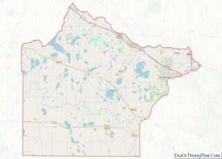
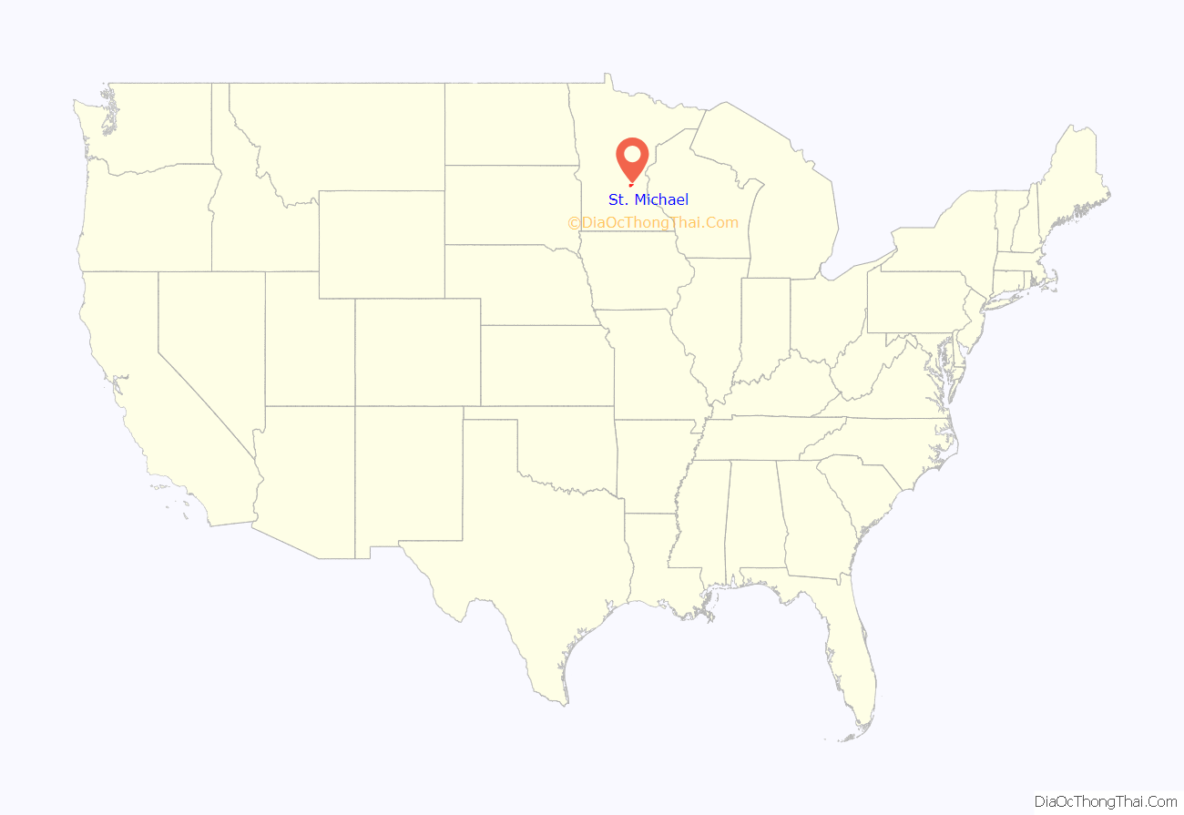
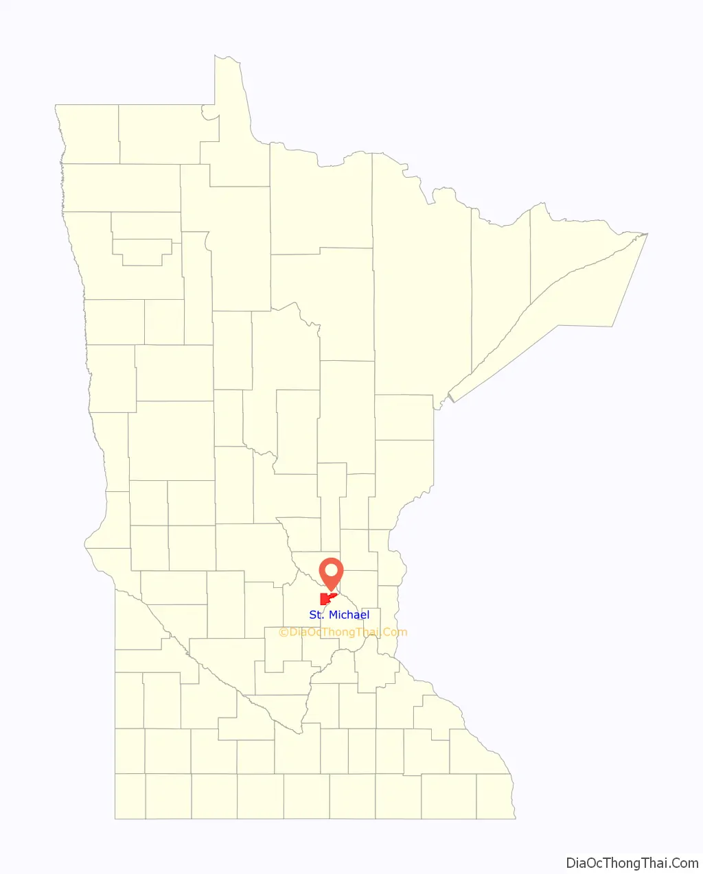
St. Michael location map. Where is St. Michael city?
History
A post office called St. Michael has been in operation since 1858. The city took its name from St. Michael Roman Catholic Church. St. Michael was incorporated in 1890. The Corner Bar, a restaurant in service since 1897, was on 10 Main Street South downtown which shut down January 9, 2020 and was razed on Friday, August 14, 2020. Generational patrons drove by and many stopped to collect a brick or two to commemorate the end of this era. Oddly enough the founding father of Ditto’s Bar, down the street from the Corner Bar, also left this earth days later while the name and establishment still live on in Main Street. A complete history of the city, ‘’Faith, Family and Farming’’, was written by Bob Zahler. The history is also tracked by the St. Michael Historical Society, whose mission is “to collect, preserve and share the history of the City of St. Michael.”
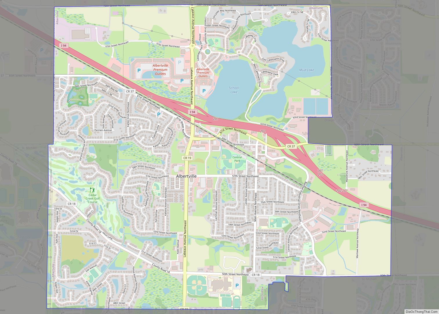
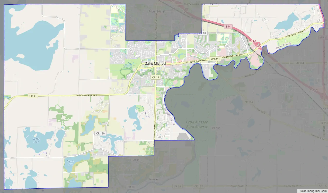
St. Michael Road Map
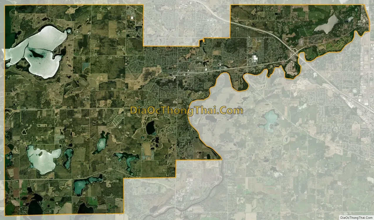
St. Michael city Satellite Map
Geography
According to the United States Census Bureau, the city has a total area of 36.42 square miles (94.33 km); 32.73 square miles (84.77 km) is land and 3.69 square miles (9.56 km) is water.
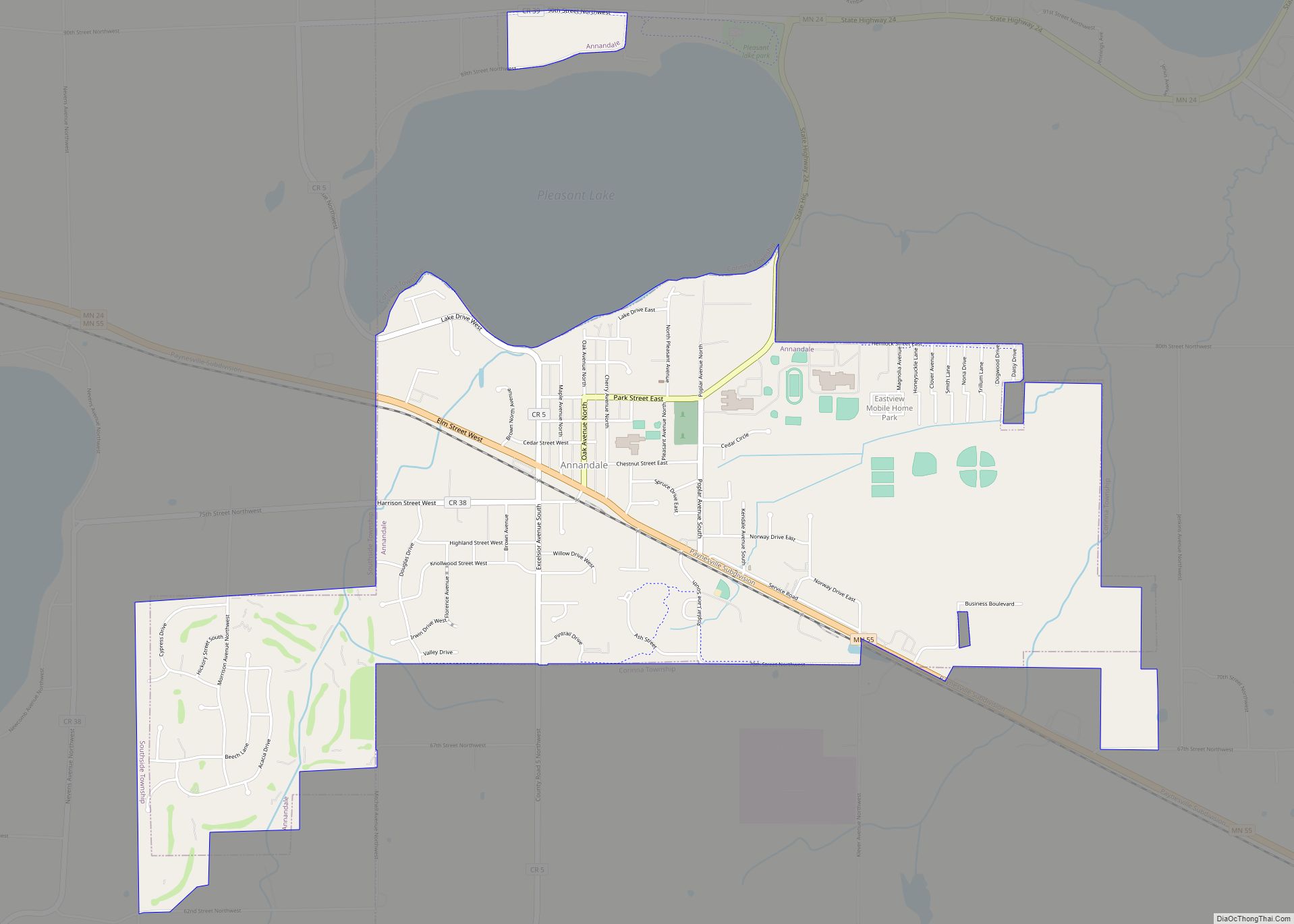
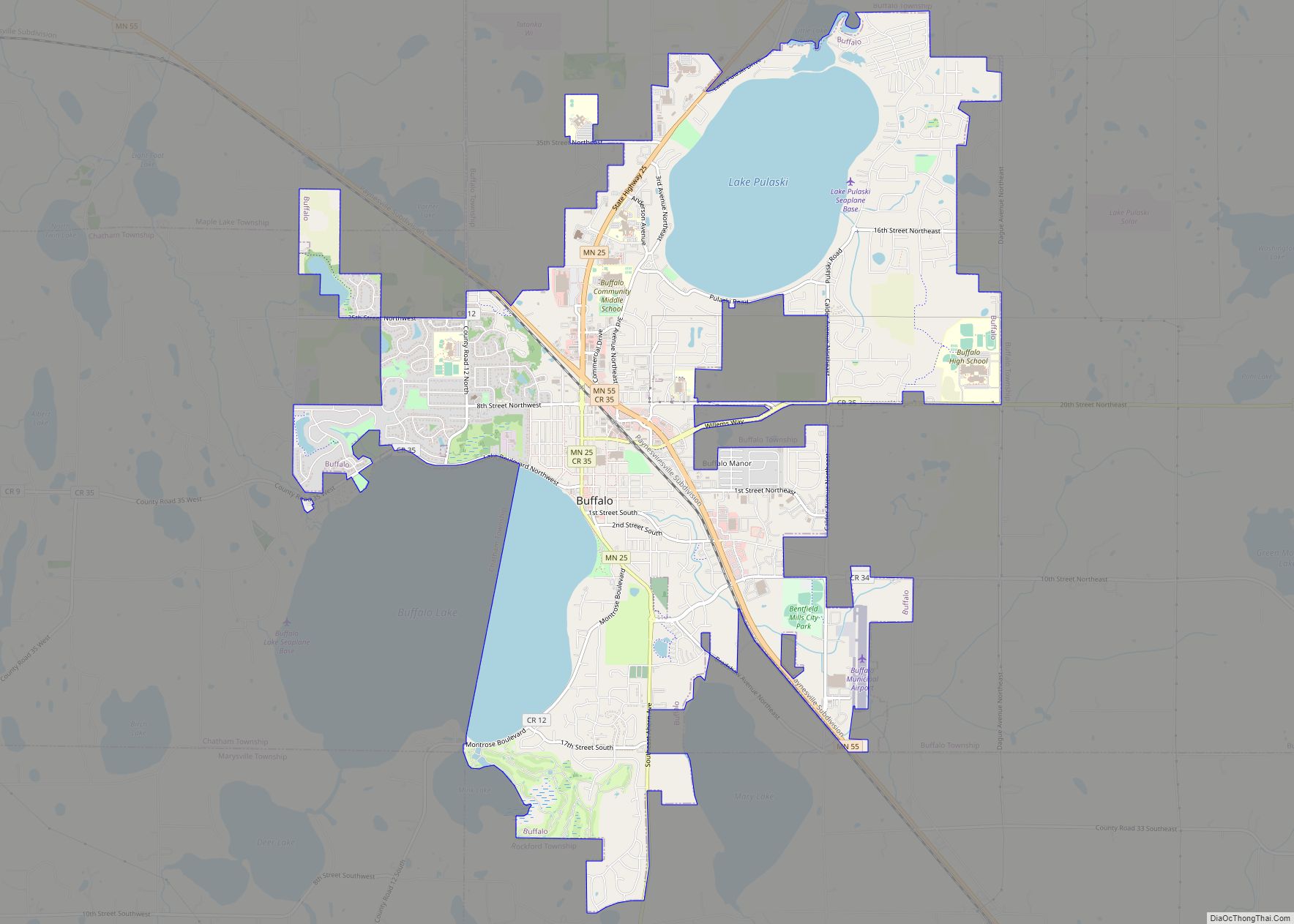
The Crow River flows along the city’s eastern boundary, separating it from the city of Rogers in Hennepin County. It also borders Monticello Township, Buffalo Township, Rockford Township, and the cities of Otsego and Albertville, all in Wright County, as well as the city of Hanover, which is located within both Wright and Hennepin counties.
See also
Map of Minnesota State and its subdivision:- Aitkin
- Anoka
- Becker
- Beltrami
- Benton
- Big Stone
- Blue Earth
- Brown
- Carlton
- Carver
- Cass
- Chippewa
- Chisago
- Clay
- Clearwater
- Cook
- Cottonwood
- Crow Wing
- Dakota
- Dodge
- Douglas
- Faribault
- Fillmore
- Freeborn
- Goodhue
- Grant
- Hennepin
- Houston
- Hubbard
- Isanti
- Itasca
- Jackson
- Kanabec
- Kandiyohi
- Kittson
- Koochiching
- Lac qui Parle
- Lake
- Lake of the Woods
- Lake Superior
- Le Sueur
- Lincoln
- Lyon
- Mahnomen
- Marshall
- Martin
- McLeod
- Meeker
- Mille Lacs
- Morrison
- Mower
- Murray
- Nicollet
- Nobles
- Norman
- Olmsted
- Otter Tail
- Pennington
- Pine
- Pipestone
- Polk
- Pope
- Ramsey
- Red Lake
- Redwood
- Renville
- Rice
- Rock
- Roseau
- Saint Louis
- Scott
- Sherburne
- Sibley
- Stearns
- Steele
- Stevens
- Swift
- Todd
- Traverse
- Wabasha
- Wadena
- Waseca
- Washington
- Watonwan
- Wilkin
- Winona
- Wright
- Yellow Medicine
- Alabama
- Alaska
- Arizona
- Arkansas
- California
- Colorado
- Connecticut
- Delaware
- District of Columbia
- Florida
- Georgia
- Hawaii
- Idaho
- Illinois
- Indiana
- Iowa
- Kansas
- Kentucky
- Louisiana
- Maine
- Maryland
- Massachusetts
- Michigan
- Minnesota
- Mississippi
- Missouri
- Montana
- Nebraska
- Nevada
- New Hampshire
- New Jersey
- New Mexico
- New York
- North Carolina
- North Dakota
- Ohio
- Oklahoma
- Oregon
- Pennsylvania
- Rhode Island
- South Carolina
- South Dakota
- Tennessee
- Texas
- Utah
- Vermont
- Virginia
- Washington
- West Virginia
- Wisconsin
- Wyoming