Wyoming is a city in Chisago County, Minnesota. The population was 7,791 at the time of the 2010 census.
| Name: | Wyoming city |
|---|---|
| LSAD Code: | 25 |
| LSAD Description: | city (suffix) |
| State: | Minnesota |
| County: | Chisago County |
| Elevation: | 899 ft (274 m) |
| Total Area: | 21.68 sq mi (56.16 km²) |
| Land Area: | 20.65 sq mi (53.49 km²) |
| Water Area: | 1.03 sq mi (2.67 km²) |
| Total Population: | 8,032 |
| Population Density: | 388.92/sq mi (150.16/km²) |
| ZIP code: | 55092 |
| Area code: | 651 |
| FIPS code: | 2772022 |
| GNISfeature ID: | 2397388 |
| Website: | www.wyomingmn.org |
Online Interactive Map
Click on ![]() to view map in "full screen" mode.
to view map in "full screen" mode.
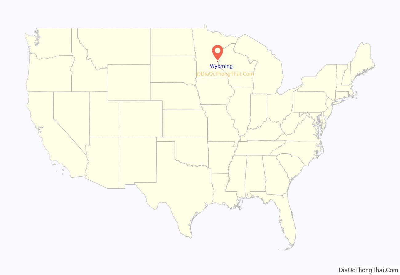
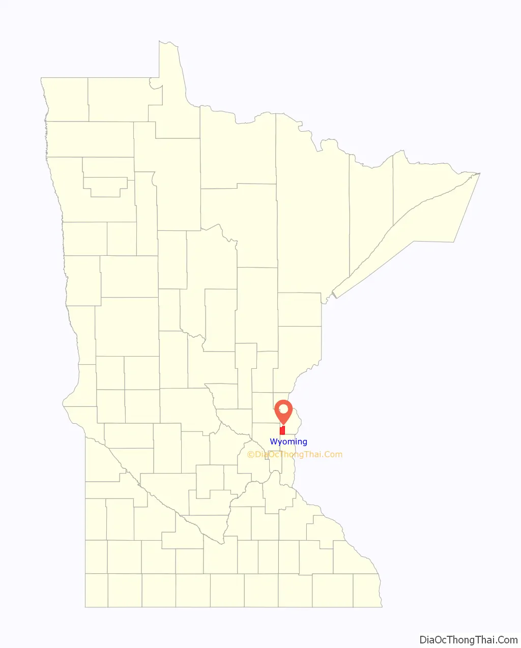
Wyoming location map. Where is Wyoming city?
History
Wyoming was platted in 1869 when the St. Paul and Duluth Railroad was extended to that point. The city took its name from Wyoming Township.
Wyoming served as the drop-off point for a Depression era kidnapping. In June 1933, William Hamm of Hamm’s Brewery was released by his captors, the Barker–Karpis gang, following a collection of a $100,000 ransom payment ($1.825 mil. in 2015 dollars).
Wyoming Road Map
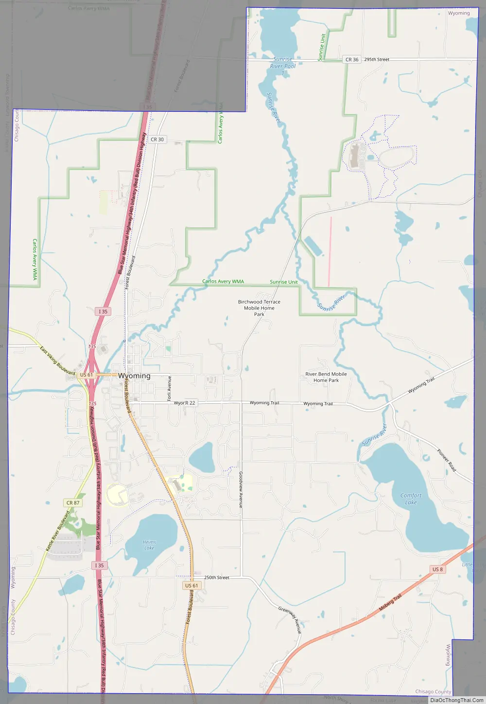
Wyoming city Satellite Map

Geography
According to the United States Census Bureau, the city has a total area of 21.29 square miles (55.14 km), of which 20.26 square miles (52.47 km) is land and 1.03 square miles (2.67 km) is water. Wyoming is located along the South Branch of the Sunrise River.
Interstate 35 serves as a main route for the community.
See also
Map of Minnesota State and its subdivision:- Aitkin
- Anoka
- Becker
- Beltrami
- Benton
- Big Stone
- Blue Earth
- Brown
- Carlton
- Carver
- Cass
- Chippewa
- Chisago
- Clay
- Clearwater
- Cook
- Cottonwood
- Crow Wing
- Dakota
- Dodge
- Douglas
- Faribault
- Fillmore
- Freeborn
- Goodhue
- Grant
- Hennepin
- Houston
- Hubbard
- Isanti
- Itasca
- Jackson
- Kanabec
- Kandiyohi
- Kittson
- Koochiching
- Lac qui Parle
- Lake
- Lake of the Woods
- Lake Superior
- Le Sueur
- Lincoln
- Lyon
- Mahnomen
- Marshall
- Martin
- McLeod
- Meeker
- Mille Lacs
- Morrison
- Mower
- Murray
- Nicollet
- Nobles
- Norman
- Olmsted
- Otter Tail
- Pennington
- Pine
- Pipestone
- Polk
- Pope
- Ramsey
- Red Lake
- Redwood
- Renville
- Rice
- Rock
- Roseau
- Saint Louis
- Scott
- Sherburne
- Sibley
- Stearns
- Steele
- Stevens
- Swift
- Todd
- Traverse
- Wabasha
- Wadena
- Waseca
- Washington
- Watonwan
- Wilkin
- Winona
- Wright
- Yellow Medicine
- Alabama
- Alaska
- Arizona
- Arkansas
- California
- Colorado
- Connecticut
- Delaware
- District of Columbia
- Florida
- Georgia
- Hawaii
- Idaho
- Illinois
- Indiana
- Iowa
- Kansas
- Kentucky
- Louisiana
- Maine
- Maryland
- Massachusetts
- Michigan
- Minnesota
- Mississippi
- Missouri
- Montana
- Nebraska
- Nevada
- New Hampshire
- New Jersey
- New Mexico
- New York
- North Carolina
- North Dakota
- Ohio
- Oklahoma
- Oregon
- Pennsylvania
- Rhode Island
- South Carolina
- South Dakota
- Tennessee
- Texas
- Utah
- Vermont
- Virginia
- Washington
- West Virginia
- Wisconsin
- Wyoming


