Sayre is a borough in Bradford County, Pennsylvania, United States. It is part of Northeastern Pennsylvania. It is the principal city in the Sayre, PA Micropolitan Statistical Area. It lies 18 miles (29 km) southeast of Elmira, New York, and 30 miles (48 km) southwest of Binghamton. It is currently the largest city in Bradford County. In the past, various iron products were made there. In 1900, 5,243 people lived there; in 1910, 6,426 people lived there, and in 1940, 7,569 persons made their homes in Sayre. The population was 5,403 at the 2020 census.
Sayre is part of the Penn-York Valley (“The Valley”), a group of four contiguous communities in New York and Pennsylvania: Waverly, New York; South Waverly, Pennsylvania; Sayre; Athens, Pennsylvania, and smaller surrounding communities with a combined population near 35,000.
| Name: | Sayre borough |
|---|---|
| LSAD Code: | 21 |
| LSAD Description: | borough (suffix) |
| State: | Pennsylvania |
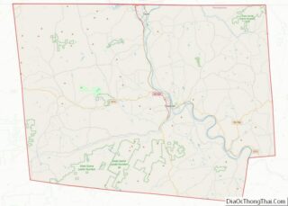
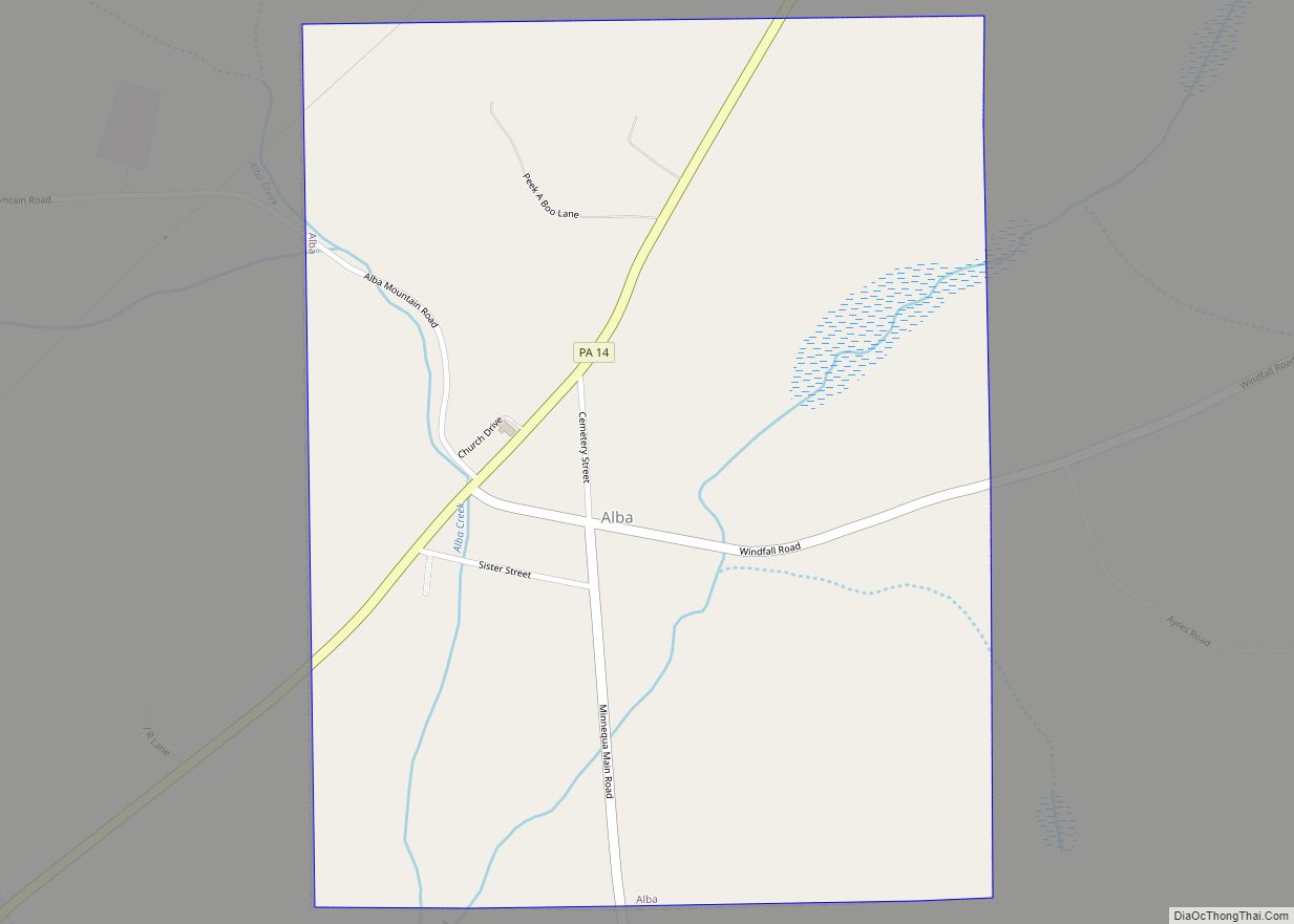
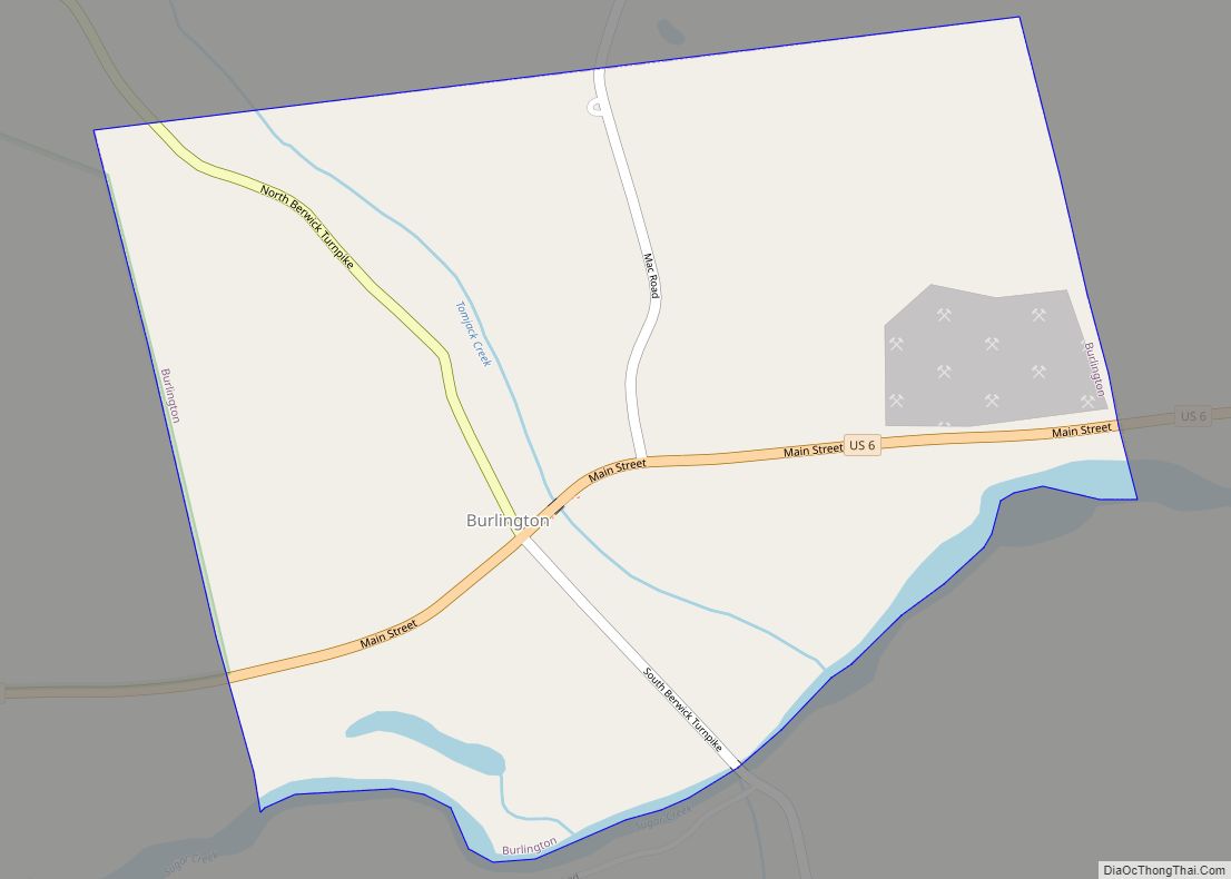
| County: | Bradford County |
| Elevation: | 771 ft (235 m) |
| Total Area: | 2.04 sq mi (5.27 km²) |
| Land Area: | 2.02 sq mi (5.24 km²) |
| Water Area: | 0.01 sq mi (0.04 km²) |
| Total Population: | 5,587 |
| Population Density: | 2,653.81/sq mi (1,024.64/km²) |
| Area code: | 570 |
| FIPS code: | 4268096 |
| Website: | sayreborough.org |
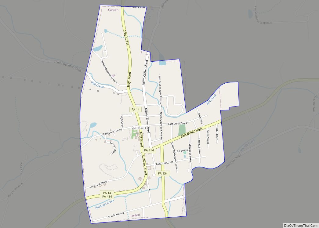
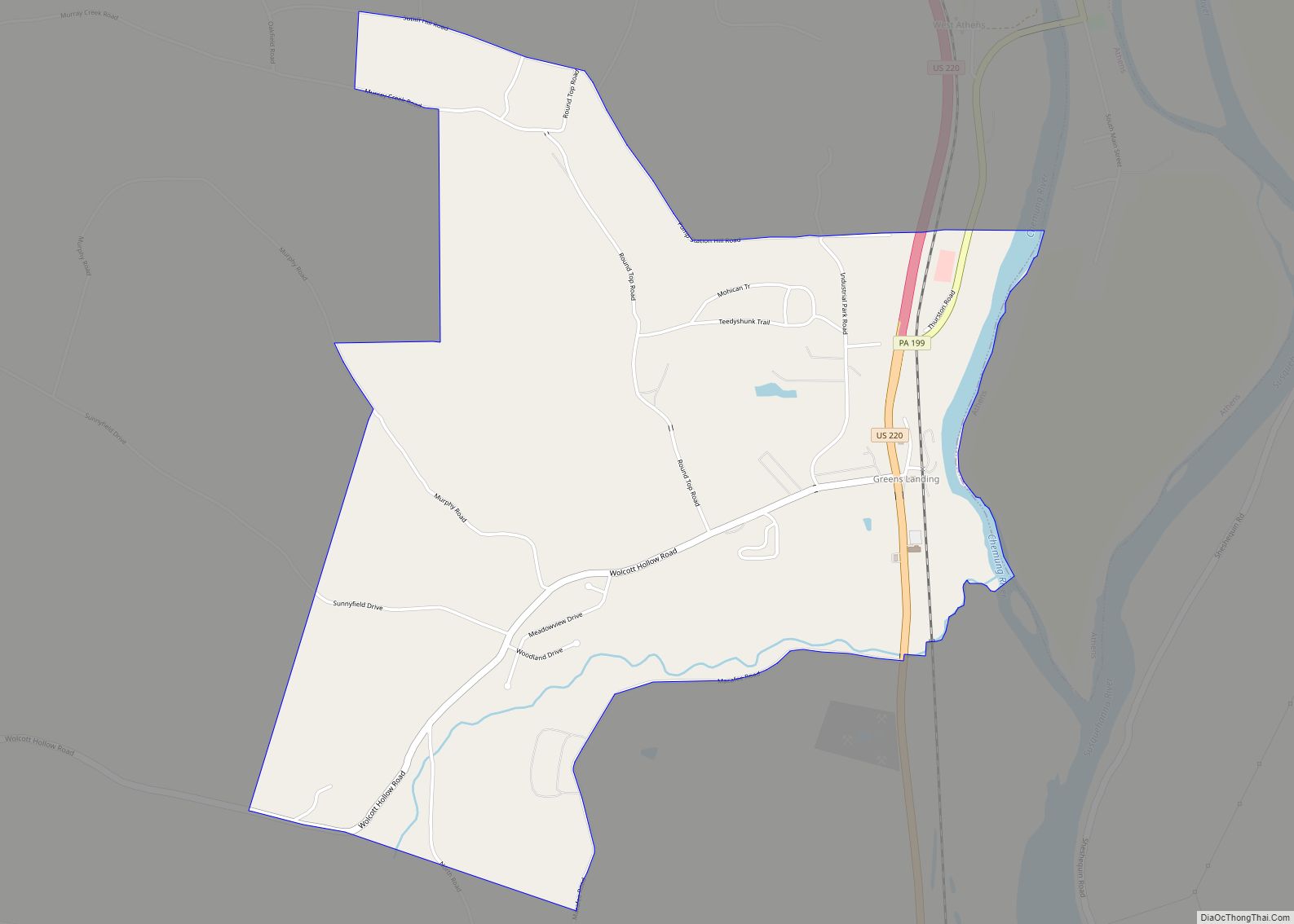
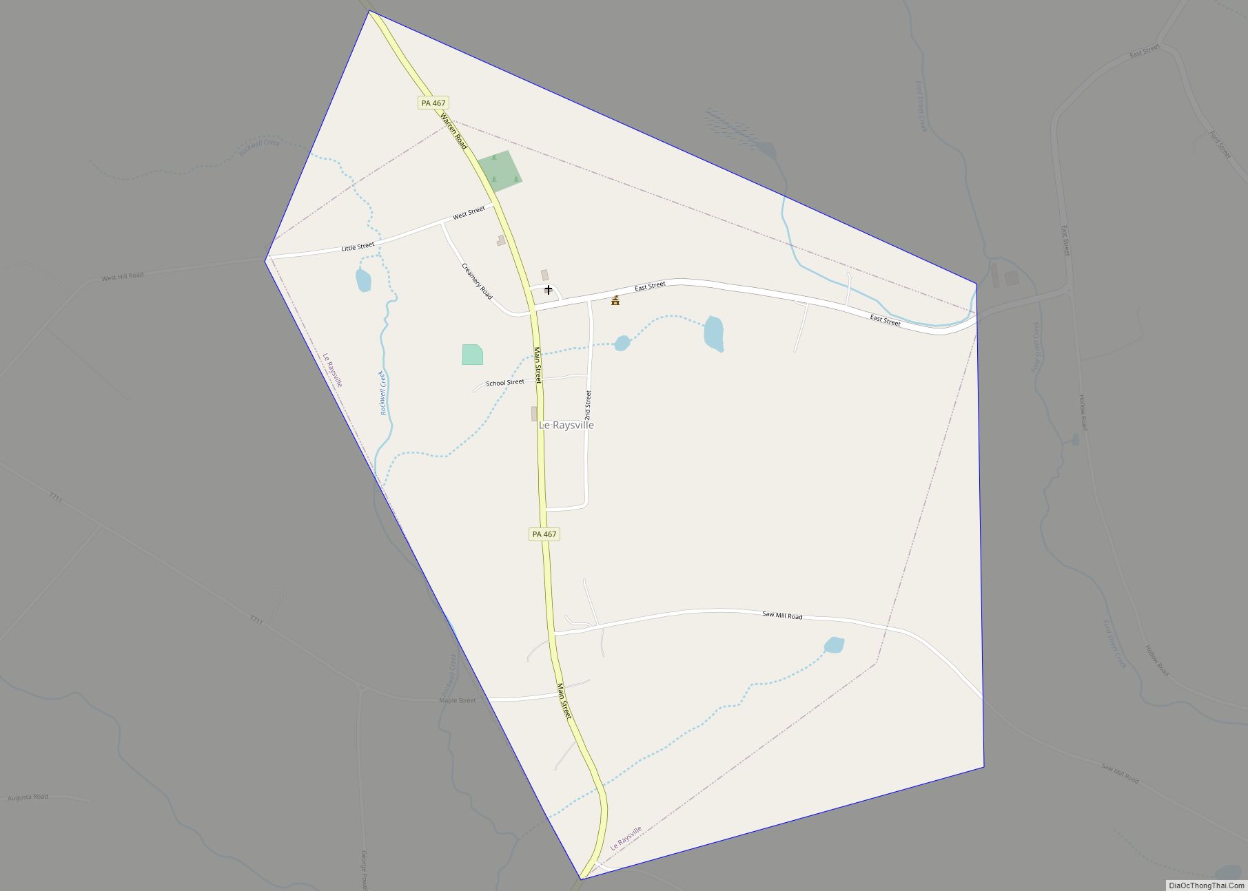
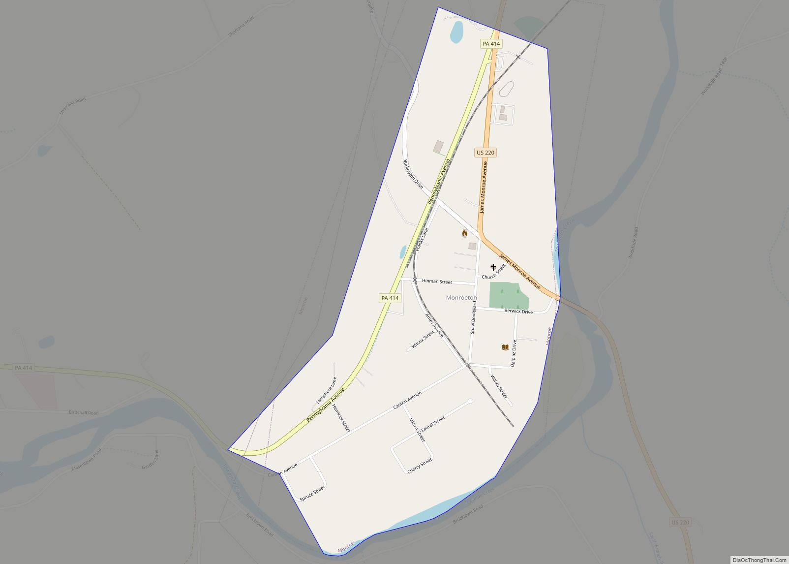
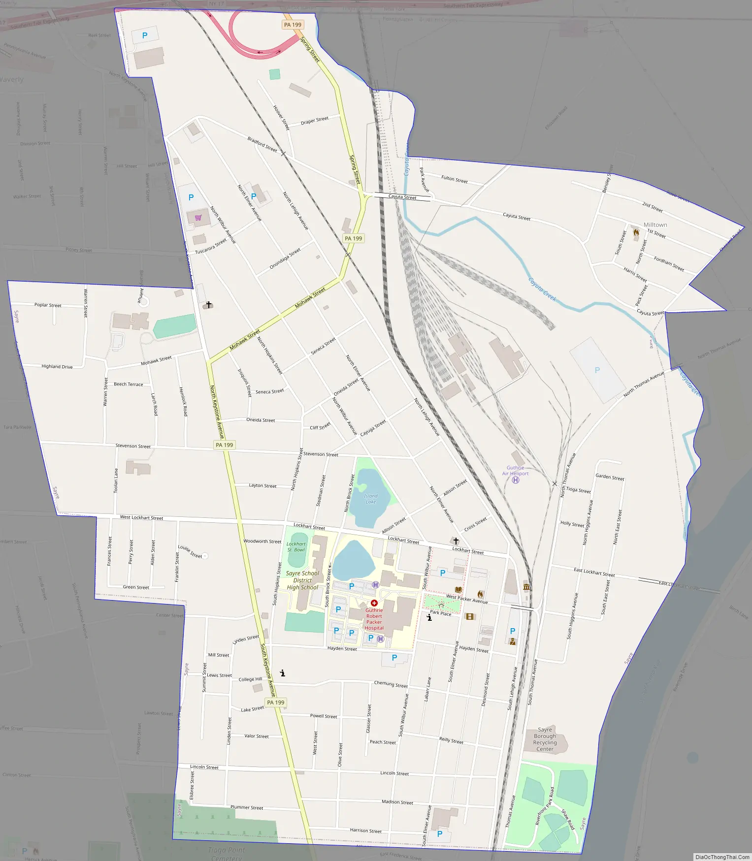
Online Interactive Map
Click on ![]() to view map in "full screen" mode.
to view map in "full screen" mode.
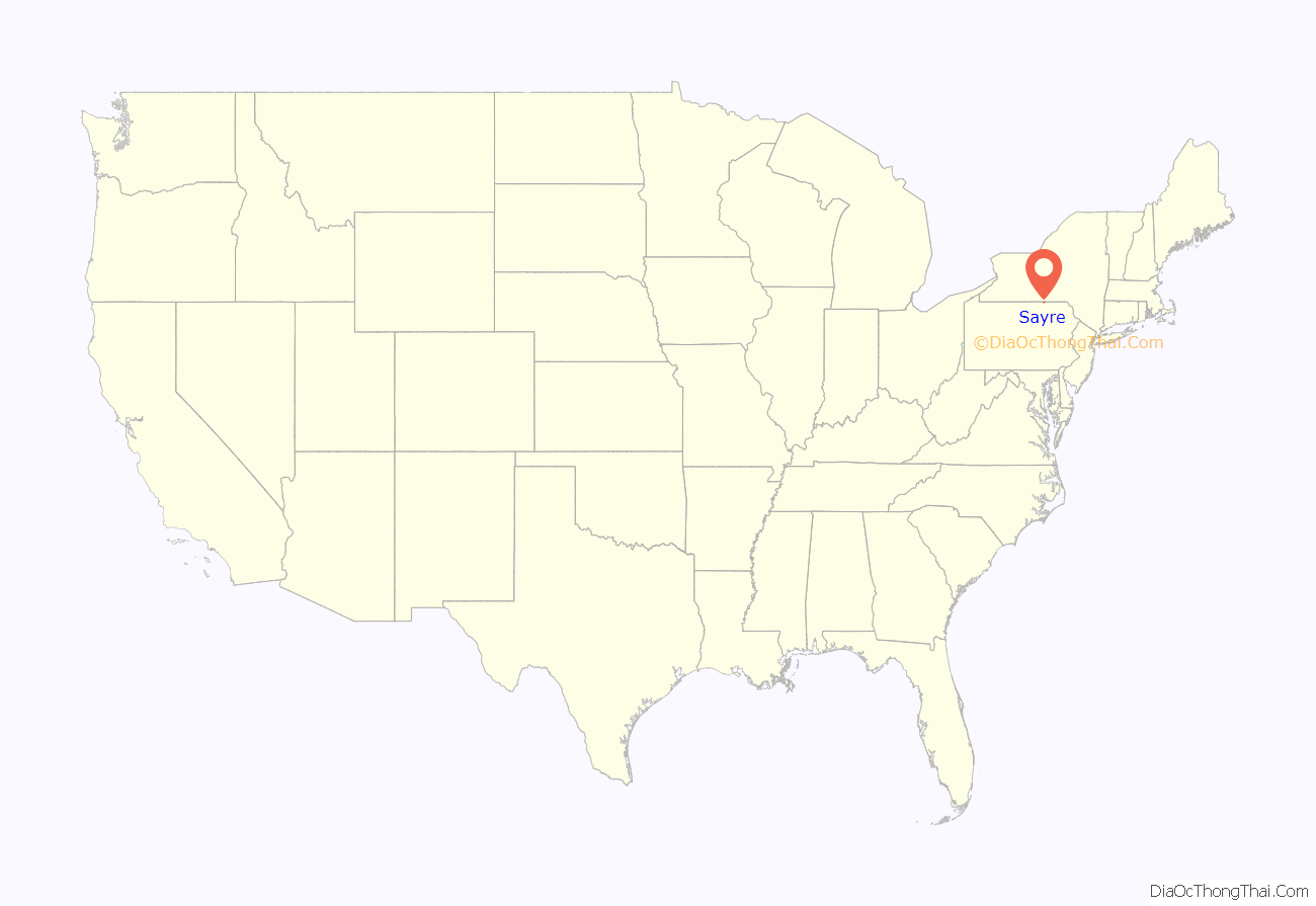
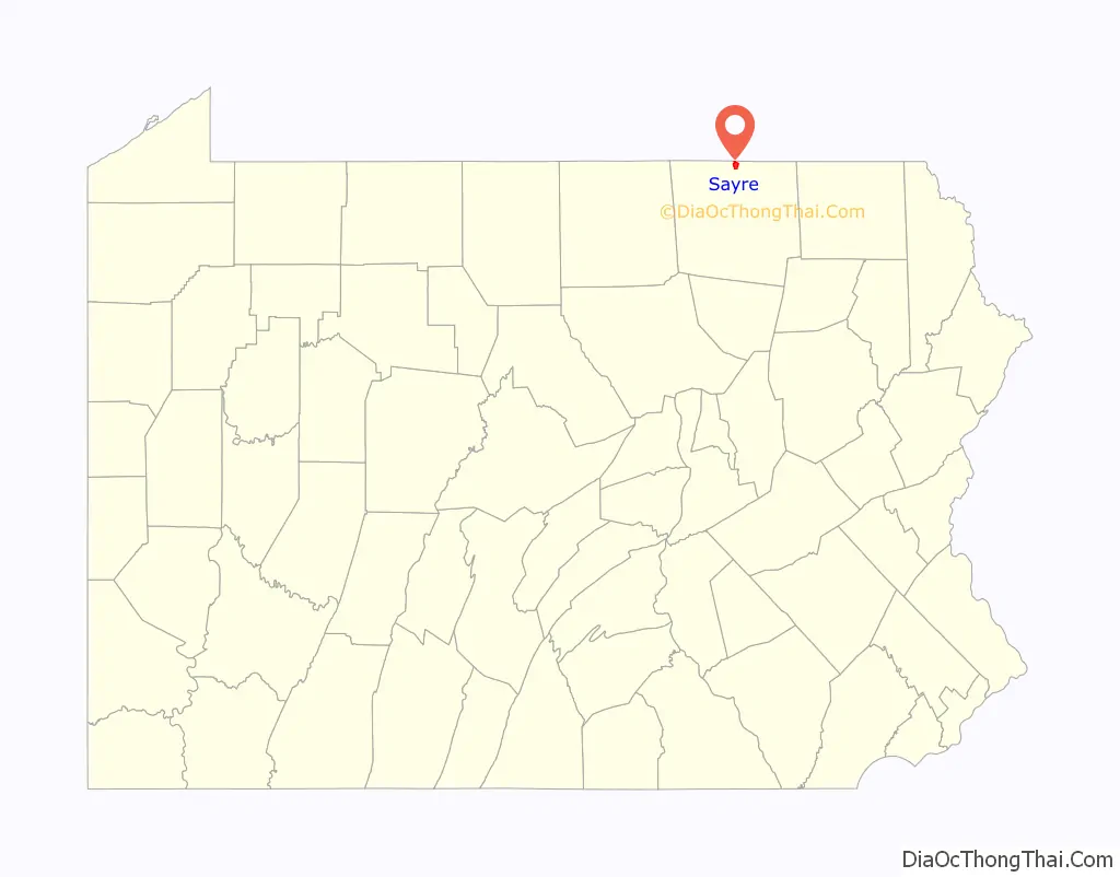
Sayre location map. Where is Sayre borough?
History
In May 1870, a Waverly banker named Howard Elmer, along with Charles Anthony and James Fritcher, bought the Pine Plains area between Waverly and Athens. Elmer convinced Asa Packer to locate a new railroad repair facility on the Pine Plains for the expanding Lehigh Valley Railroad, which was making a push north to connect to the Erie Railroad at Waverly. Robert Heysham Sayre, president of the Pennsylvania and New York Railroad, helped cement the deal. The town was named in his honor. Sayre was incorporated on January 27, 1891.
In 1904 when the locomotive shops were built at Sayre, the main shop building was believed to be the largest structure in the world under one roof, but held that title for only a brief time. The railroad operated from 1870 until 1976, but maintenance facilities were shifted away before that. With the decline of industry, population has declined since 1940.
The Pennsylvania Guide, compiled by the Writers’ Program of the Works Progress Administration, described Sayre in 1940 and emphasized the economic and social significance of the railroad, noting that Sayre:
Sayre Road Map
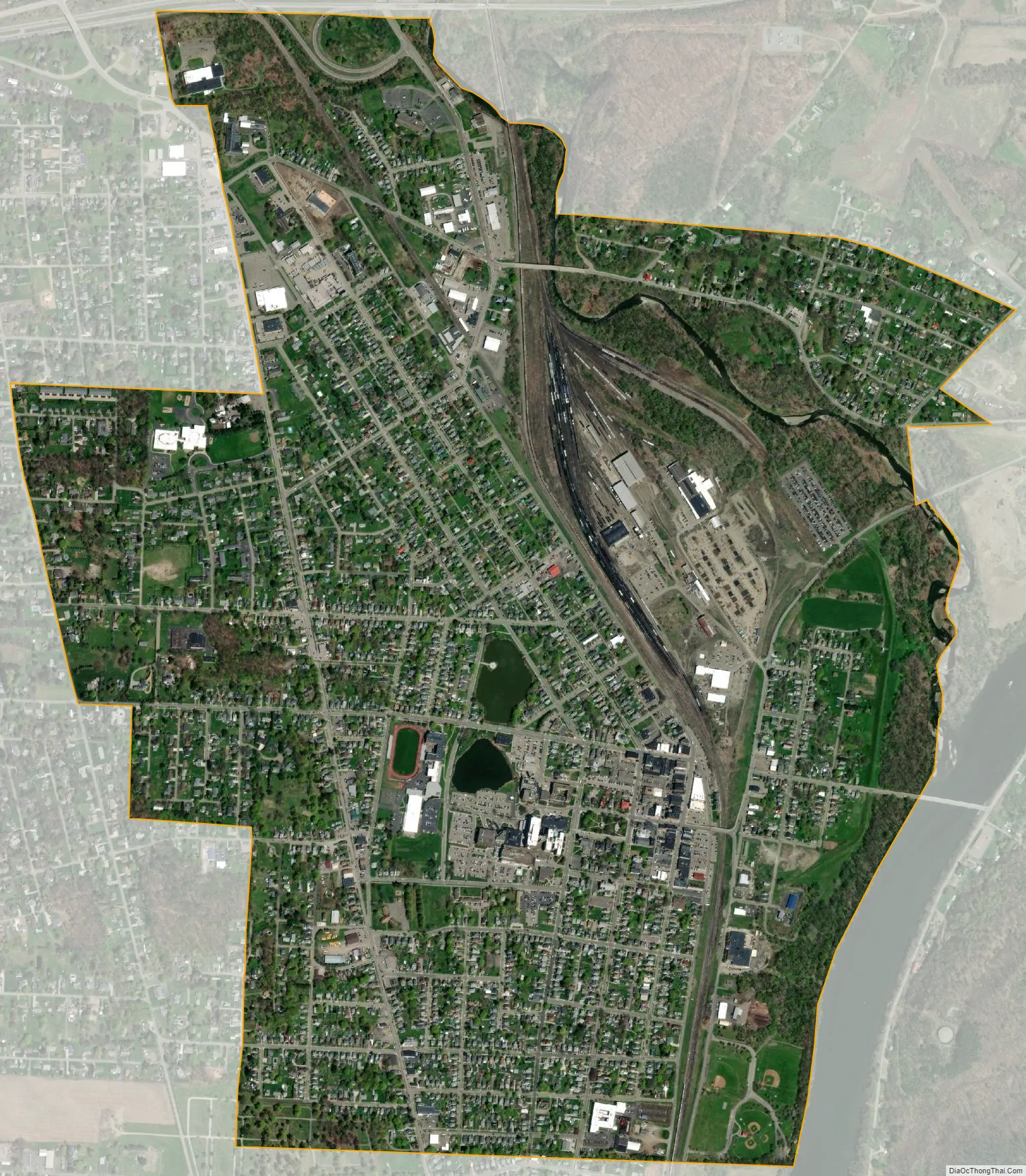
Sayre city Satellite Map
Geography
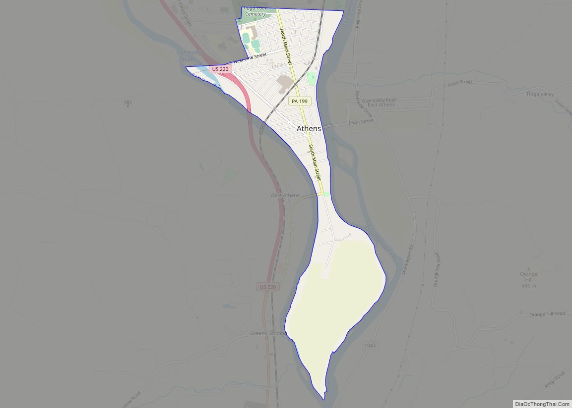
Sayre is located at 41°59′1″N 76°31′15″W / 41.98361°N 76.52083°W / 41.98361; -76.52083 (41.983567, -76.520845) in a river valley in the Allegheny Plateau just north of the confluence of the Susquehanna River and the Chemung River, along with Athens, Pennsylvania, South Waverly, Pennsylvania, and Waverly, New York. Together, these small towns make up the greater area known as the Penn-York Valley, or just “the Valley”. The New York / Pennsylvania border cuts through the valley. There is no physical border between the towns, as the grid of streets and avenues blend seamlessly from one town to another. Sayre is bounded on the east and west by Athens Township, on the south by the borough of Athens, on the northwest by South Waverly, and on the north by Waverly, New York.
Pennsylvania Route 199 passes through the borough as Keystone Avenue, Mohawk Street, and Spring Street, ending at Interstate 86 just over the state line in Waverly, New York. Via I-86, it is 17 miles (27 km) northwest to Elmira, New York, and by New York State Route 17 (future I-86) it is 38 miles (61 km) east to Binghamton, New York.
According to the United States Census Bureau, the borough has a total area of 2.03 square miles (5.27 km), of which 2.02 square miles (5.24 km) is land and 0.02 square miles (0.04 km), or 0.67%, is water.
See also
Map of Pennsylvania State and its subdivision:- Adams
- Allegheny
- Armstrong
- Beaver
- Bedford
- Berks
- Blair
- Bradford
- Bucks
- Butler
- Cambria
- Cameron
- Carbon
- Centre
- Chester
- Clarion
- Clearfield
- Clinton
- Columbia
- Crawford
- Cumberland
- Dauphin
- Delaware
- Elk
- Erie
- Fayette
- Forest
- Franklin
- Fulton
- Greene
- Huntingdon
- Indiana
- Jefferson
- Juniata
- Lackawanna
- Lancaster
- Lawrence
- Lebanon
- Lehigh
- Luzerne
- Lycoming
- Mc Kean
- Mercer
- Mifflin
- Monroe
- Montgomery
- Montour
- Northampton
- Northumberland
- Perry
- Philadelphia
- Pike
- Potter
- Schuylkill
- Snyder
- Somerset
- Sullivan
- Susquehanna
- Tioga
- Union
- Venango
- Warren
- Washington
- Wayne
- Westmoreland
- Wyoming
- York
- Alabama
- Alaska
- Arizona
- Arkansas
- California
- Colorado
- Connecticut
- Delaware
- District of Columbia
- Florida
- Georgia
- Hawaii
- Idaho
- Illinois
- Indiana
- Iowa
- Kansas
- Kentucky
- Louisiana
- Maine
- Maryland
- Massachusetts
- Michigan
- Minnesota
- Mississippi
- Missouri
- Montana
- Nebraska
- Nevada
- New Hampshire
- New Jersey
- New Mexico
- New York
- North Carolina
- North Dakota
- Ohio
- Oklahoma
- Oregon
- Pennsylvania
- Rhode Island
- South Carolina
- South Dakota
- Tennessee
- Texas
- Utah
- Vermont
- Virginia
- Washington
- West Virginia
- Wisconsin
- Wyoming