Blossburg is a borough in Tioga County, Pennsylvania, United States. The population was 1,536 at the 2020 census.
| Name: | Blossburg borough |
|---|---|
| LSAD Code: | 21 |
| LSAD Description: | borough (suffix) |
| State: | Pennsylvania |
| County: | Tioga County |
| Elevation: | 1,342 ft (409 m) |
| Total Area: | 4.65 sq mi (12.03 km²) |
| Land Area: | 4.65 sq mi (12.03 km²) |
| Water Area: | 0.00 sq mi (0.00 km²) |
| Total Population: | 1,533 |
| Population Density: | 329.96/sq mi (127.39/km²) |
| ZIP code: | 16912 |
| Area code: | 570 |
| FIPS code: | 4207160 |
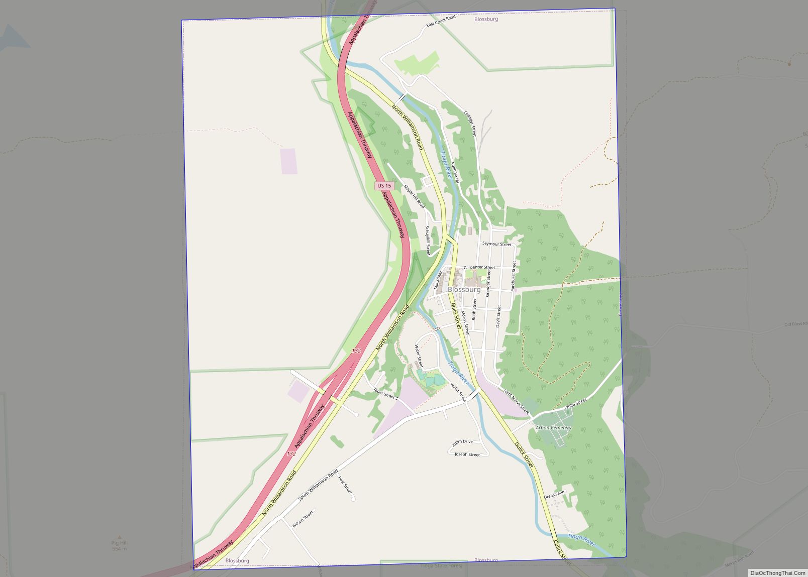
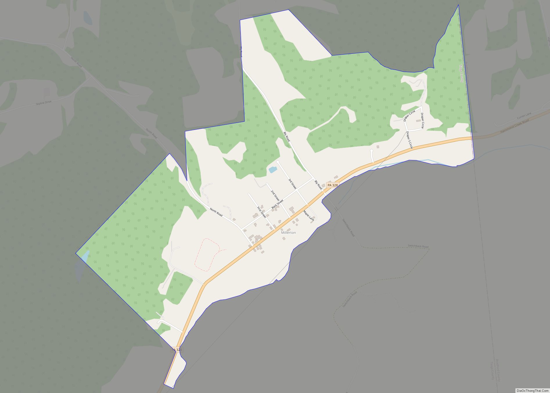
Online Interactive Map
Click on ![]() to view map in "full screen" mode.
to view map in "full screen" mode.
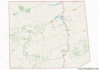
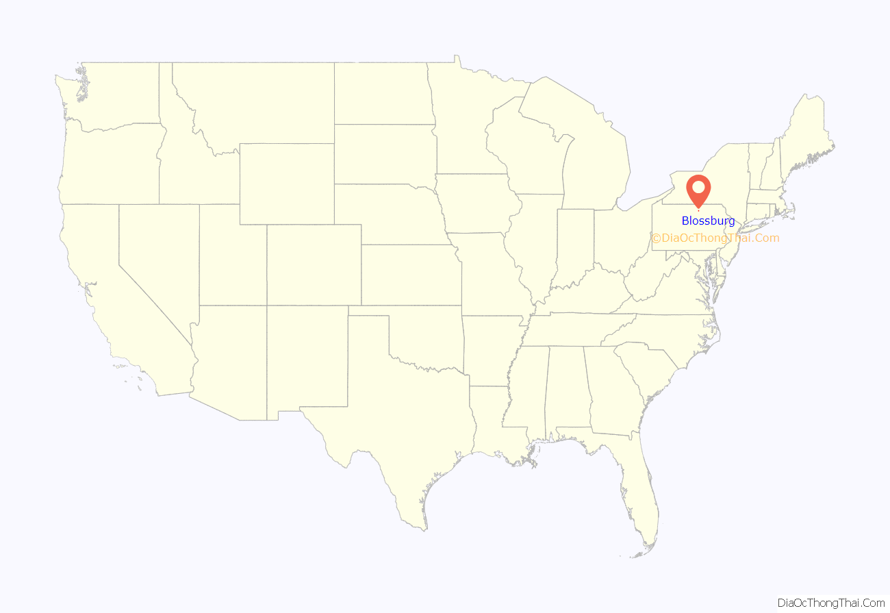
Blossburg location map. Where is Blossburg borough?
History
In 1792, a party of immigrants who were building the Williamson Road from Williamsport, in Lycoming County, to Painted Post in New York, under the leadership of Robert and Benjamin Patterson, discovered coal within the present town limits of Blossburg. When the group reached the Tioga River, they established a supply camp at its banks.
In 1801, Aaron Bloss moved to Tioga County. In 1802, he settled at the area known as “Peter’s Camp”. He is considered the first settler of Blossburg. Sometime between 1818 and 1820, Bloss made the first attempt to found a town, changing the name of Peter’s Camp to Blossburg. Blossburg was finally recognized and incorporated a borough in August 1871.
Shortly after 1810, David Clemens made the first effort to mine and market coal from this area. Clemens opened a mine on Bear Run between 1812 and 1815, serving only the Painted Post area. Around the same time, a lower vein was opened on Bear Run by Aaron Bloss. This vein is known as the Bloss Vein; it also was used to satisfy local demands.
The first efforts to market and ship coal out of this area were on a small scale, due to the poor road conditions and the poor navigability of the Tioga River. In 1817, a coalition of Bloss and the other miners asked the legislature for funds to improve these routes. In the meantime, Blossburg coal was being shipped to Painted Post, Elmira, and Corning in western New York.
More important than the local runs, Blossburg coal was being shipped to the state capital at Albany. The legislature passed bills to support construction of railroads and improve canal navigation in order to support the transport of coal. Blossburg coal was also shipped to Philadelphia, where it attracted the notice of enterprising businessmen.
In 1826, Judge John H. Knapp erected an iron ore smelting works within the borough limits of Blossburg. Knapp also opened coal mines on Coal Run and ore mines on “Barney Hill”.
In July 1840, the railroad was constructed through Covington from Corning, and was opened for locomotives to Blossburg in September. This railroad allowed the mines to be tapped and for their coal to be easily distributed through the Twin Tiers.
For more than 150 years, coal has played a vital role in the development of Blossburg. Today many of the existing mines are dormant. But Ward Manufacturing is a descendant of the Blossburg coal mining industry and is the largest business operating in the Blossburg area.
On June 23, 1967, Mohawk Airlines Flight 40 crashed outside of Blossburg with a loss of all 34 passengers and crew. Flight 40 was a regularly scheduled passenger flight between Elmira, New York and Washington, DC. The aircraft was a BAC 1-11-204AF.
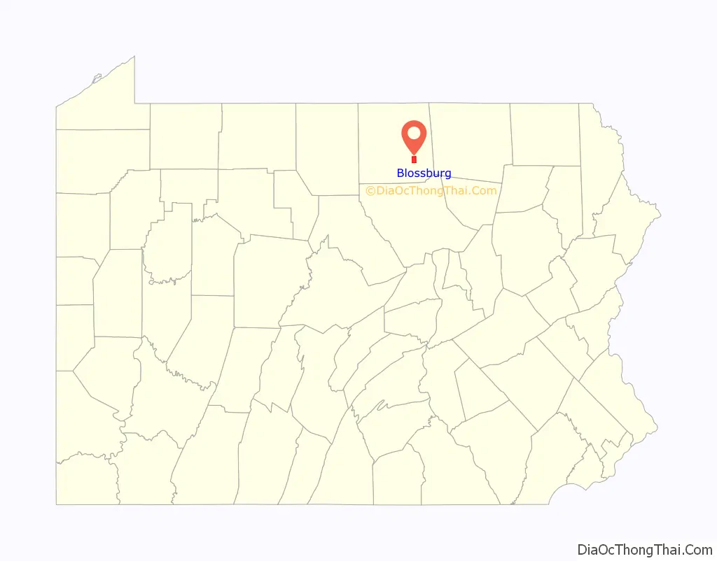
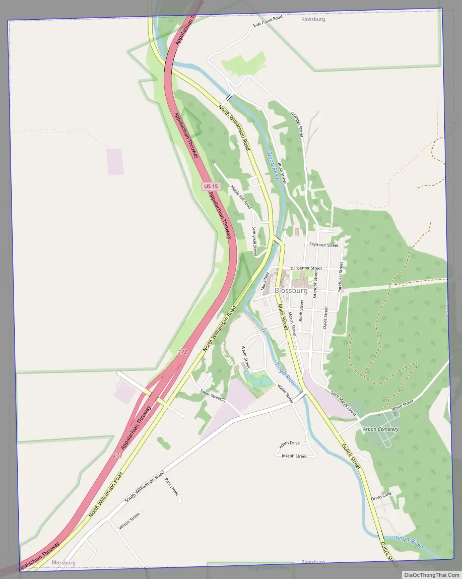
Blossburg Road Map
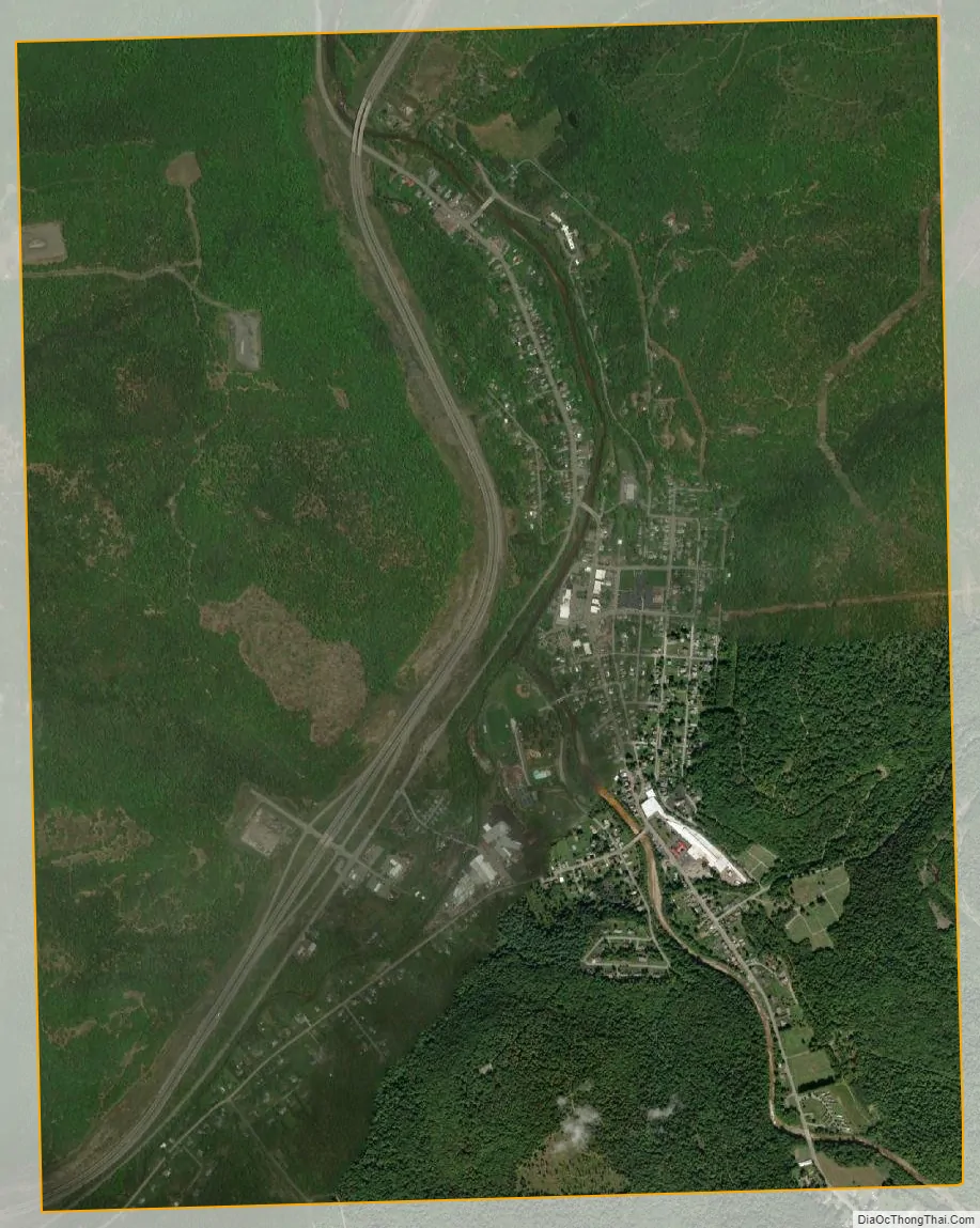
Blossburg city Satellite Map
Geography
Blossburg is located at 41°40′39″N 77°3′56″W / 41.67750°N 77.06556°W / 41.67750; -77.06556 (41.677615, -77.065519). According to the U.S. Census Bureau, the borough has a total area of 4.8 square miles (12 km), all land.
See also
Map of Pennsylvania State and its subdivision:- Adams
- Allegheny
- Armstrong
- Beaver
- Bedford
- Berks
- Blair
- Bradford
- Bucks
- Butler
- Cambria
- Cameron
- Carbon
- Centre
- Chester
- Clarion
- Clearfield
- Clinton
- Columbia
- Crawford
- Cumberland
- Dauphin
- Delaware
- Elk
- Erie
- Fayette
- Forest
- Franklin
- Fulton
- Greene
- Huntingdon
- Indiana
- Jefferson
- Juniata
- Lackawanna
- Lancaster
- Lawrence
- Lebanon
- Lehigh
- Luzerne
- Lycoming
- Mc Kean
- Mercer
- Mifflin
- Monroe
- Montgomery
- Montour
- Northampton
- Northumberland
- Perry
- Philadelphia
- Pike
- Potter
- Schuylkill
- Snyder
- Somerset
- Sullivan
- Susquehanna
- Tioga
- Union
- Venango
- Warren
- Washington
- Wayne
- Westmoreland
- Wyoming
- York
- Alabama
- Alaska
- Arizona
- Arkansas
- California
- Colorado
- Connecticut
- Delaware
- District of Columbia
- Florida
- Georgia
- Hawaii
- Idaho
- Illinois
- Indiana
- Iowa
- Kansas
- Kentucky
- Louisiana
- Maine
- Maryland
- Massachusetts
- Michigan
- Minnesota
- Mississippi
- Missouri
- Montana
- Nebraska
- Nevada
- New Hampshire
- New Jersey
- New Mexico
- New York
- North Carolina
- North Dakota
- Ohio
- Oklahoma
- Oregon
- Pennsylvania
- Rhode Island
- South Carolina
- South Dakota
- Tennessee
- Texas
- Utah
- Vermont
- Virginia
- Washington
- West Virginia
- Wisconsin
- Wyoming