Conway is a borough in Beaver County, Pennsylvania, United States, located along the Ohio River. At the 2020 census, the borough had a total population of 2,166. It is part of the Pittsburgh metropolitan area. Conway is the site of the Conway Yard, a major railroad classification yard and locomotive facility, owned by the Norfolk Southern Railway. From 1956 until 1980, it was the largest rail yard in the world.
| Name: | Conway borough |
|---|---|
| LSAD Code: | 21 |
| LSAD Description: | borough (suffix) |
| State: | Pennsylvania |
| County: | Beaver County |
| Incorporated: | 1902 |
| Elevation: | 909 ft (277 m) |
| Total Area: | 1.46 sq mi (3.78 km²) |
| Land Area: | 1.28 sq mi (3.31 km²) |
| Water Area: | 0.18 sq mi (0.47 km²) |
| Total Population: | 2,168 |
| Population Density: | 1,699.06/sq mi (655.86/km²) |
| Area code: | 724 |
| FIPS code: | 4215872 |
| Website: | www.conwaypa.org |
Online Interactive Map
Click on ![]() to view map in "full screen" mode.
to view map in "full screen" mode.
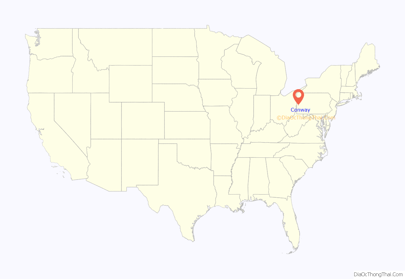
Conway location map. Where is Conway borough?
History
The area that would become Conway was first settled by former American Revolutionary War General John McKee, an Irish immigrant, around 1800 through an 800-acre grant of New Sewickley Township. The area had formerly been known as Crow’s Run Valley by several tribes of Native Americans because of the abundance of crows that nested in the Hemlock trees of the region. McKee’s land extended in to the forest about 2 miles (3.2 km) from the Ohio River.
In 1825 McKee sold 230 acres of his land to Michael Conway, a fellow Irish American. McKee then used the funds to help finance the construction of the first railroad between Pittsburgh and Beaver County, which would later become a branch of the Pennsylvania Railroad. The Conway Yard was built in 1884 by the Pittsburgh, Fort Wayne and Chicago Railway, a subsidiary of the Pennsylvania Railroad. It was expanded in the early 20th century, and again in a massive effort in the 1950s, which made it the largest railway yard in the world for some time. Apart from the railroad, other industries flourished in the production of clay, coal, oil, building stone, brick making and building railroads, primarily through the various endeavors of James I. Park and his sons William A., John H. and George I. Park.
A post office, originally known as Agnew, was created in 1881. The borough was incorporated as Conway on June 3, 1902, with Addru Bepler serving as the town’s first mayor.
Conway Road Map
Conway city Satellite Map
Geography
Conway is located at 40°39′48″N 80°14′10″W / 40.66333°N 80.23611°W / 40.66333; -80.23611 (40.663466, -80.235981).
According to the United States Census Bureau, the borough has a total area of 1.5 square miles (3.9 km), of which 1.2 square miles (3.1 km) is land and 0.2 square miles (0.52 km) (13.70%) is water.
Surrounding and adjacent neighborhoods
Conway has three land borders, with Freedom and New Sewickley Township to the north, and Economy from the east to the south. Across the Ohio River, Conway runs adjacent with Monaca and Center Township.
See also
Map of Pennsylvania State and its subdivision:- Adams
- Allegheny
- Armstrong
- Beaver
- Bedford
- Berks
- Blair
- Bradford
- Bucks
- Butler
- Cambria
- Cameron
- Carbon
- Centre
- Chester
- Clarion
- Clearfield
- Clinton
- Columbia
- Crawford
- Cumberland
- Dauphin
- Delaware
- Elk
- Erie
- Fayette
- Forest
- Franklin
- Fulton
- Greene
- Huntingdon
- Indiana
- Jefferson
- Juniata
- Lackawanna
- Lancaster
- Lawrence
- Lebanon
- Lehigh
- Luzerne
- Lycoming
- Mc Kean
- Mercer
- Mifflin
- Monroe
- Montgomery
- Montour
- Northampton
- Northumberland
- Perry
- Philadelphia
- Pike
- Potter
- Schuylkill
- Snyder
- Somerset
- Sullivan
- Susquehanna
- Tioga
- Union
- Venango
- Warren
- Washington
- Wayne
- Westmoreland
- Wyoming
- York
- Alabama
- Alaska
- Arizona
- Arkansas
- California
- Colorado
- Connecticut
- Delaware
- District of Columbia
- Florida
- Georgia
- Hawaii
- Idaho
- Illinois
- Indiana
- Iowa
- Kansas
- Kentucky
- Louisiana
- Maine
- Maryland
- Massachusetts
- Michigan
- Minnesota
- Mississippi
- Missouri
- Montana
- Nebraska
- Nevada
- New Hampshire
- New Jersey
- New Mexico
- New York
- North Carolina
- North Dakota
- Ohio
- Oklahoma
- Oregon
- Pennsylvania
- Rhode Island
- South Carolina
- South Dakota
- Tennessee
- Texas
- Utah
- Vermont
- Virginia
- Washington
- West Virginia
- Wisconsin
- Wyoming
