Darlington is a borough in northwestern Beaver County, Pennsylvania, United States. The population was 248 at the 2020 census. It is a part of the Pittsburgh metropolitan area.
| Name: | Darlington borough |
|---|---|
| LSAD Code: | 21 |
| LSAD Description: | borough (suffix) |
| State: | Pennsylvania |
| County: | Beaver County |
| Incorporated: | 1820 |
| Total Area: | 0.08 sq mi (0.21 km²) |
| Land Area: | 0.08 sq mi (0.21 km²) |
| Water Area: | 0.00 sq mi (0.00 km²) |
| Total Population: | 249 |
| Population Density: | 3,036.59/sq mi (1,173.83/km²) |
| Area code: | 724 |
| FIPS code: | 4218192 |
| Website: | http://darlingtonborough.com/ |
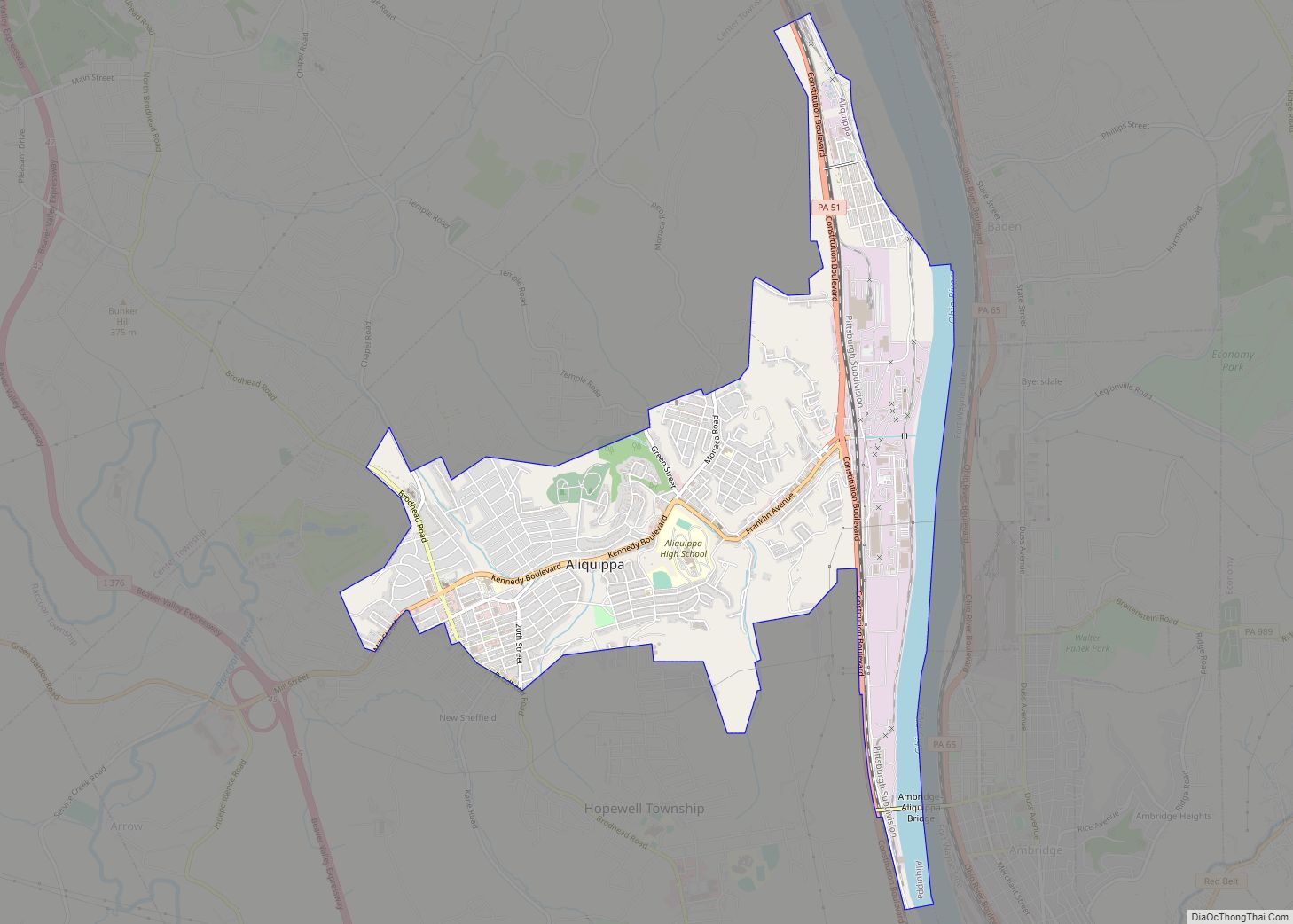
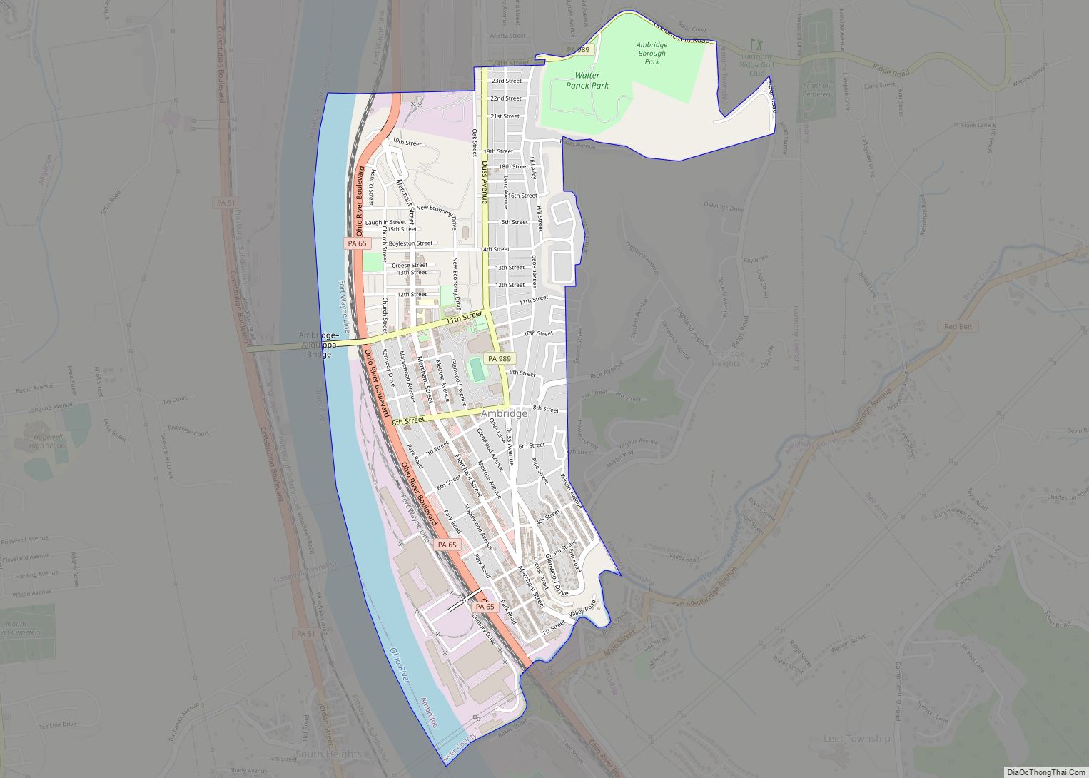
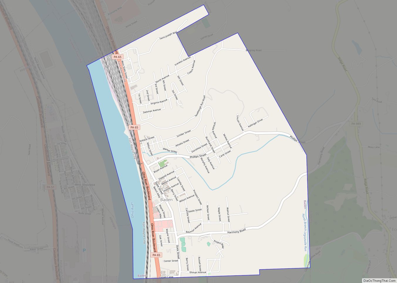
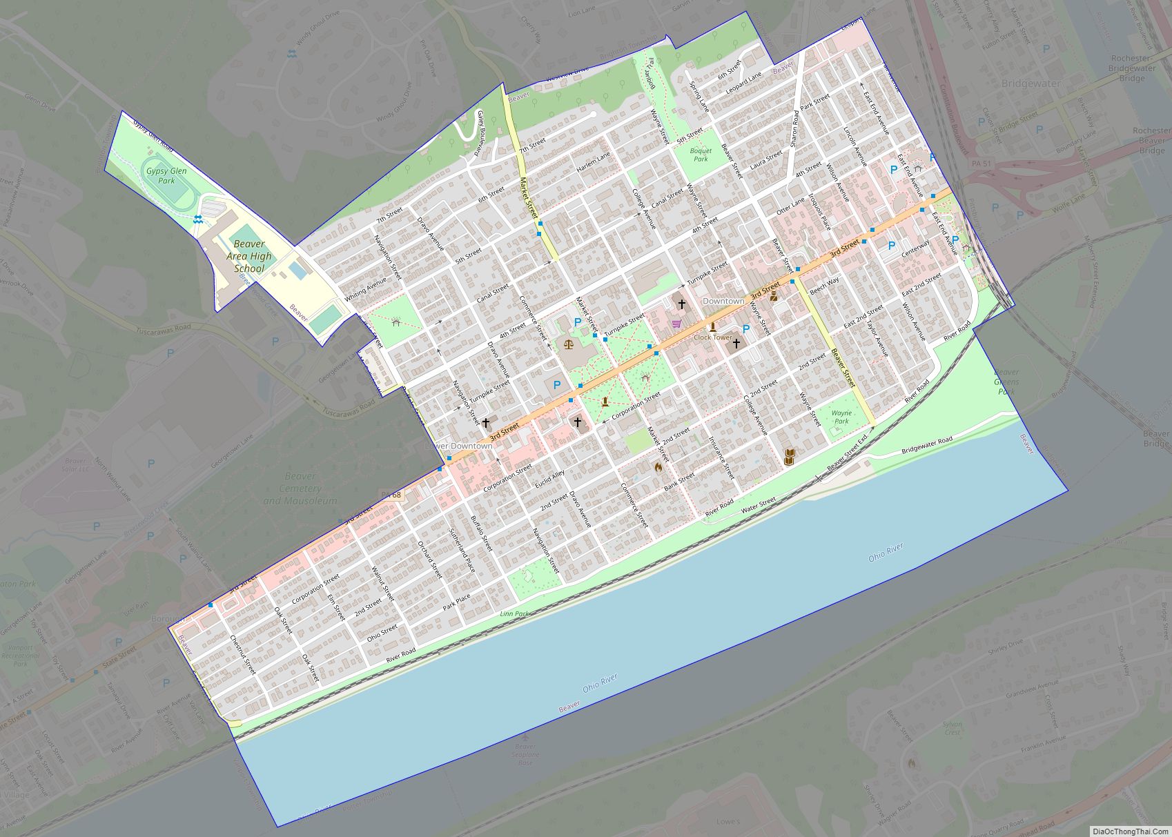
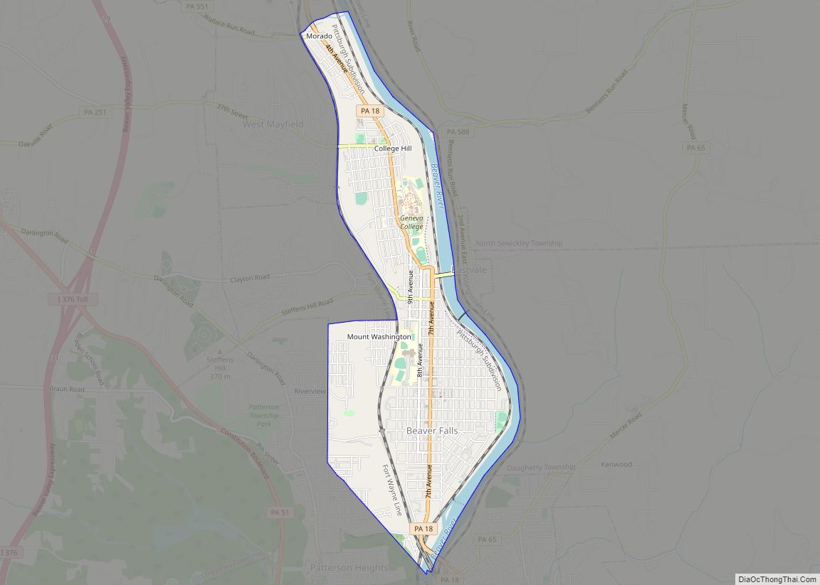
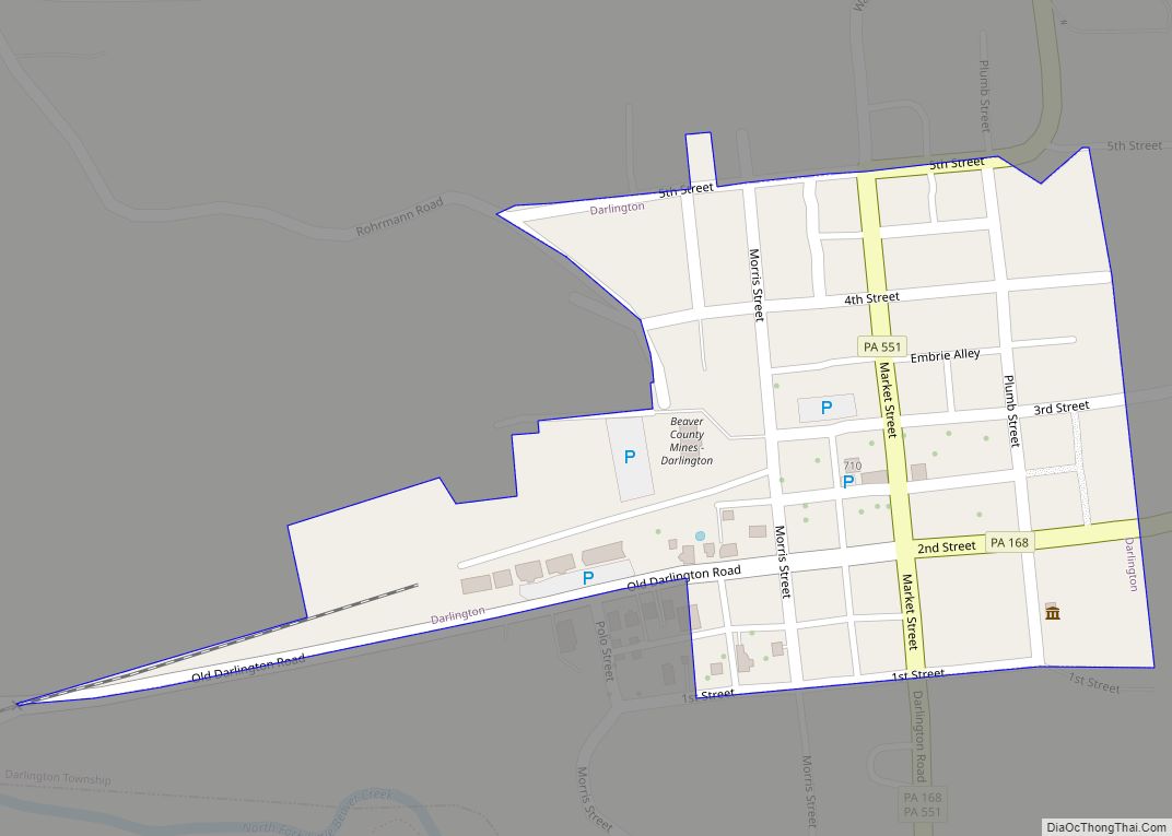
Online Interactive Map
Click on ![]() to view map in "full screen" mode.
to view map in "full screen" mode.
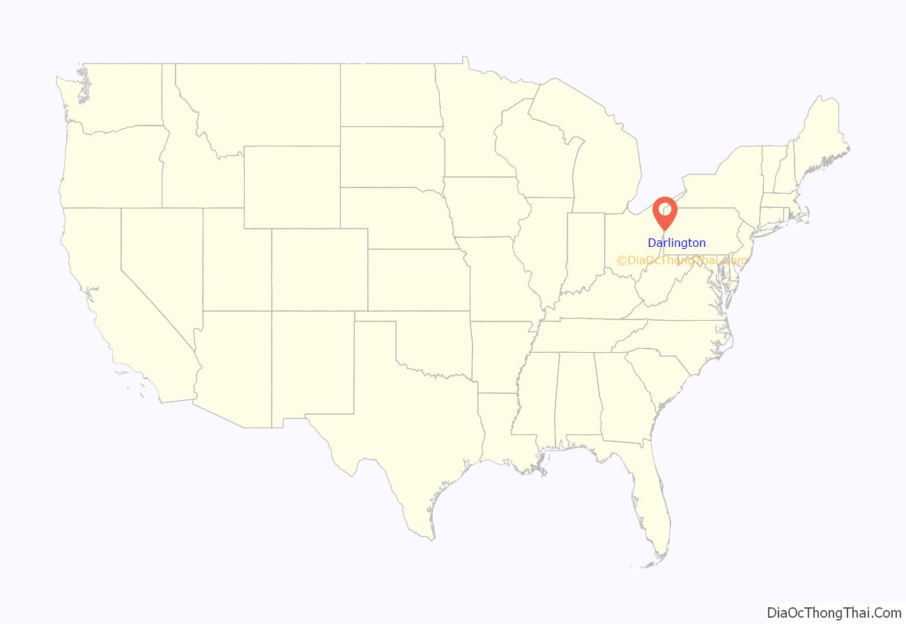
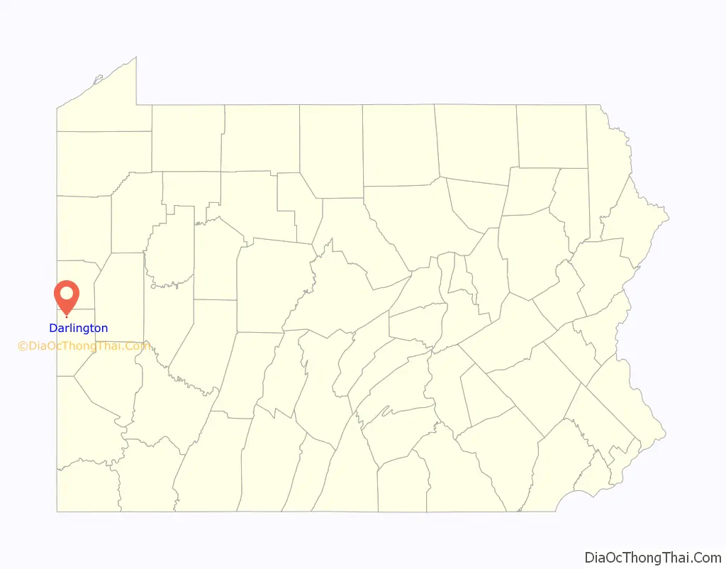
Darlington location map. Where is Darlington borough?
History
Darlington was settled in 1804 and incorporated on 28 March 1820, as Greersburg. It adopted its current name on 6 April 1830. Darlington is named for S. P. Darlington, a merchant from Pittsburgh.
Darlington Road Map
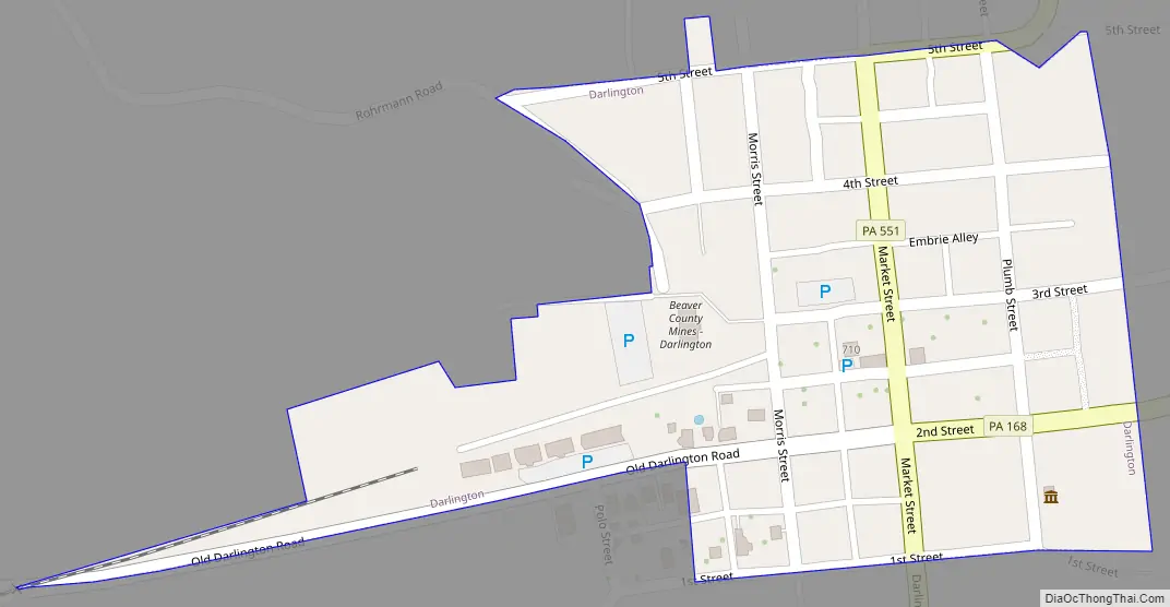
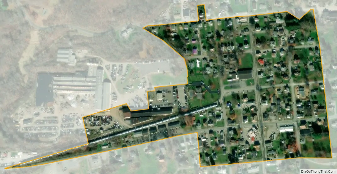
Darlington city Satellite Map
Geography
Darlington is located at 40°48′36″N 80°25′24″W / 40.81000°N 80.42333°W / 40.81000; -80.42333 (40.809917, −80.423381). It is completely surrounded by Darlington Township.
According to the United States Census Bureau, the borough has a total area of 0.1 square miles (0.26 km), all land.
See also
Map of Pennsylvania State and its subdivision:- Adams
- Allegheny
- Armstrong
- Beaver
- Bedford
- Berks
- Blair
- Bradford
- Bucks
- Butler
- Cambria
- Cameron
- Carbon
- Centre
- Chester
- Clarion
- Clearfield
- Clinton
- Columbia
- Crawford
- Cumberland
- Dauphin
- Delaware
- Elk
- Erie
- Fayette
- Forest
- Franklin
- Fulton
- Greene
- Huntingdon
- Indiana
- Jefferson
- Juniata
- Lackawanna
- Lancaster
- Lawrence
- Lebanon
- Lehigh
- Luzerne
- Lycoming
- Mc Kean
- Mercer
- Mifflin
- Monroe
- Montgomery
- Montour
- Northampton
- Northumberland
- Perry
- Philadelphia
- Pike
- Potter
- Schuylkill
- Snyder
- Somerset
- Sullivan
- Susquehanna
- Tioga
- Union
- Venango
- Warren
- Washington
- Wayne
- Westmoreland
- Wyoming
- York
- Alabama
- Alaska
- Arizona
- Arkansas
- California
- Colorado
- Connecticut
- Delaware
- District of Columbia
- Florida
- Georgia
- Hawaii
- Idaho
- Illinois
- Indiana
- Iowa
- Kansas
- Kentucky
- Louisiana
- Maine
- Maryland
- Massachusetts
- Michigan
- Minnesota
- Mississippi
- Missouri
- Montana
- Nebraska
- Nevada
- New Hampshire
- New Jersey
- New Mexico
- New York
- North Carolina
- North Dakota
- Ohio
- Oklahoma
- Oregon
- Pennsylvania
- Rhode Island
- South Carolina
- South Dakota
- Tennessee
- Texas
- Utah
- Vermont
- Virginia
- Washington
- West Virginia
- Wisconsin
- Wyoming