Denver is a borough in Lancaster County, Pennsylvania, United States. The population was 3,794 at the 2020 census, a decline from the figure of 3,861 tabulated in 2010.
| Name: | Denver borough |
|---|---|
| LSAD Code: | 21 |
| LSAD Description: | borough (suffix) |
| State: | Pennsylvania |
| County: | Lancaster County |
| Elevation: | 394 ft (120 m) |
| Total Area: | 1.30 sq mi (3.36 km²) |
| Land Area: | 1.28 sq mi (3.31 km²) |
| Water Area: | 0.02 sq mi (0.05 km²) |
| Total Population: | 3,792 |
| Population Density: | 2,964.82/sq mi (1,144.48/km²) |
| ZIP code: | 17517 |
| FIPS code: | 4218888 |
| Website: | denverboro.net |
Online Interactive Map
Click on ![]() to view map in "full screen" mode.
to view map in "full screen" mode.
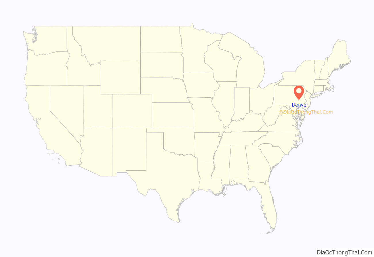
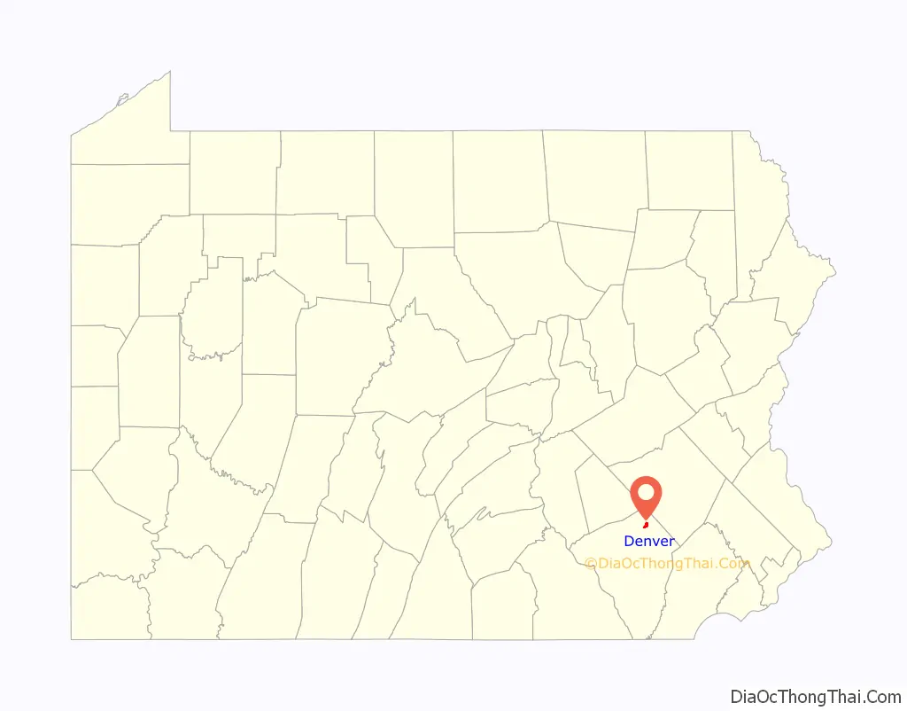
Denver location map. Where is Denver borough?
History
Denver was founded by in 1735, by Hans Bucher, a Swiss immigrant. It was originally known as Bucher’s Thal, or “Bucher Valley”, in reference to the adjacent Cocalico Creek. In the mid-18th century, a gristmill was built along the creek, and by 1772 six dwellings had been built. A blacksmith shop and a sawmill were operating by 1820. Early advantages for the settlement were fertile soils and the limestone formations that were mined for the manufacture of mortar, plaster and whitewash. In the 1830s, settler John Bucher became an advocate for using the lime as a fertilizer. Several limestone quarries were in turn operating by the 1850s.
During the Civil War, the Reading and Columbia Railroad built a line through town, prompting a name change to “Union Station”. With time, residents grew weary being referred to as a train station. After researching post offices in the country, Adam Brubaker found only one named Denver. On November 1, 1881, the town was officially renamed Denver.
By the late 19th century, continued growth had some residents considering incorporating as a borough. The tipping point was a major fire at the Denver House, a tavern built behind the train station in 1868. Water from a local well and the nearby Cocalico Creek was insufficient to fight the fire, prompting tobacco merchant Aaron Shirk, physician W.D. Fink and businessman Ephraim Renninger to press for incorporation, so a municipal water system could be created. The trio filed an application for incorporation in April 1900, and by that December, Denver Borough had come into being. It originally encompassed 183 acres (74 ha), about a quarter its current size.
With the turn of the century, the new borough purchased a reservoir site and constructed a water plant, which went online in 1902. By 1906, the one quarry still in operation today just outside Denver was opened in 1906 by Abram G. Kurtz. Around the time Denver was incorporated, cigar making was the dominant industry in the area, but mechanization eventually doomed the trade in hand-rolling cigars. New industries sprouted up, including the F&M Hat Company, founded in 1912 by brothers Samuel and Daniel Fichthorn along with their brother-in-law Ambrose Marburger. F&M Hat quickly grew into the town’s largest employer, giving generations of residents jobs in its factory. By 1939 there were 835 employees working two shifts.
In 1977, the Cocalico Eagles boys basketball team, under the direction of coach Ed McIlmoyle, defeated Mercer, 75–59, in the PIAA Class AA state championship game.
Bucher’s Mill Covered Bridge, south of Denver near Reamstown, was listed on the National Register of Historic Places in 1980.
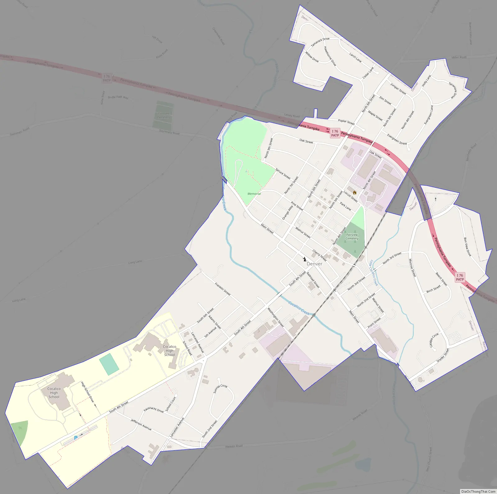
Denver Road Map
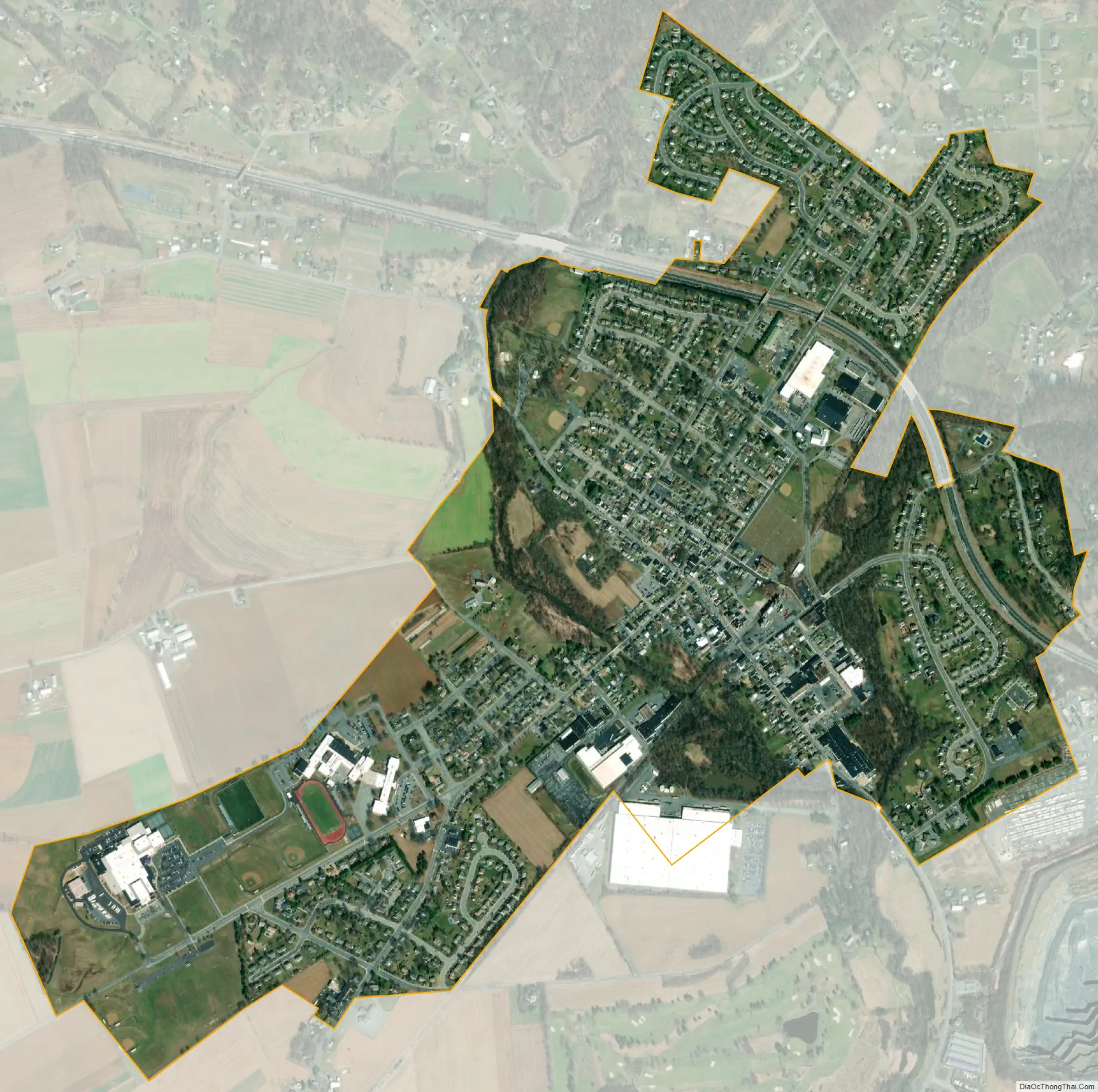
Denver city Satellite Map
Geography
Denver is located in northeastern Lancaster County at 40°14′2″N 76°8′14″W / 40.23389°N 76.13722°W / 40.23389; -76.13722 (40.233859, -76.137088). It is bordered to the southeast by Reamstown and to the southwest by Stevens. Interstate 76, the Pennsylvania Turnpike, passes through the northern side of the borough, with the closest access 3 miles (5 km) to the east at Exit 286 (U.S. Route 222). Denver is 17 miles (27 km) northeast of Lancaster and 15 miles (24 km) southwest of Reading.
According to the United States Census Bureau, the borough has a total area of 1.3 square miles (3.4 km), of which 0.02 square miles (0.05 km), or 1.45%, are water. Denver sits in a valley formed by Cocalico Creek to the west and Little Cocalico Creek to the east; the two creeks join at the southern border of the borough. Cocalico Creek is a tributary of the Conestoga River and part of the Susquehanna watershed.
See also
Map of Pennsylvania State and its subdivision:- Adams
- Allegheny
- Armstrong
- Beaver
- Bedford
- Berks
- Blair
- Bradford
- Bucks
- Butler
- Cambria
- Cameron
- Carbon
- Centre
- Chester
- Clarion
- Clearfield
- Clinton
- Columbia
- Crawford
- Cumberland
- Dauphin
- Delaware
- Elk
- Erie
- Fayette
- Forest
- Franklin
- Fulton
- Greene
- Huntingdon
- Indiana
- Jefferson
- Juniata
- Lackawanna
- Lancaster
- Lawrence
- Lebanon
- Lehigh
- Luzerne
- Lycoming
- Mc Kean
- Mercer
- Mifflin
- Monroe
- Montgomery
- Montour
- Northampton
- Northumberland
- Perry
- Philadelphia
- Pike
- Potter
- Schuylkill
- Snyder
- Somerset
- Sullivan
- Susquehanna
- Tioga
- Union
- Venango
- Warren
- Washington
- Wayne
- Westmoreland
- Wyoming
- York
- Alabama
- Alaska
- Arizona
- Arkansas
- California
- Colorado
- Connecticut
- Delaware
- District of Columbia
- Florida
- Georgia
- Hawaii
- Idaho
- Illinois
- Indiana
- Iowa
- Kansas
- Kentucky
- Louisiana
- Maine
- Maryland
- Massachusetts
- Michigan
- Minnesota
- Mississippi
- Missouri
- Montana
- Nebraska
- Nevada
- New Hampshire
- New Jersey
- New Mexico
- New York
- North Carolina
- North Dakota
- Ohio
- Oklahoma
- Oregon
- Pennsylvania
- Rhode Island
- South Carolina
- South Dakota
- Tennessee
- Texas
- Utah
- Vermont
- Virginia
- Washington
- West Virginia
- Wisconsin
- Wyoming


