Eastvale is a borough in Beaver County, Pennsylvania, United States. The population was 183 at the 2020 census.
| Name: | Eastvale borough |
|---|---|
| LSAD Code: | 21 |
| LSAD Description: | borough (suffix) |
| State: | Pennsylvania |
| County: | Beaver County |
| Incorporated: | 1892 |
| Elevation: | 1,063 ft (324 m) |
| Total Area: | 0.12 sq mi (0.30 km²) |
| Land Area: | 0.09 sq mi (0.23 km²) |
| Water Area: | 0.03 sq mi (0.07 km²) |
| Total Population: | 184 |
| Population Density: | 2,044.44/sq mi (785.47/km²) |
| Area code: | 724 |
| FIPS code: | 4221968 |
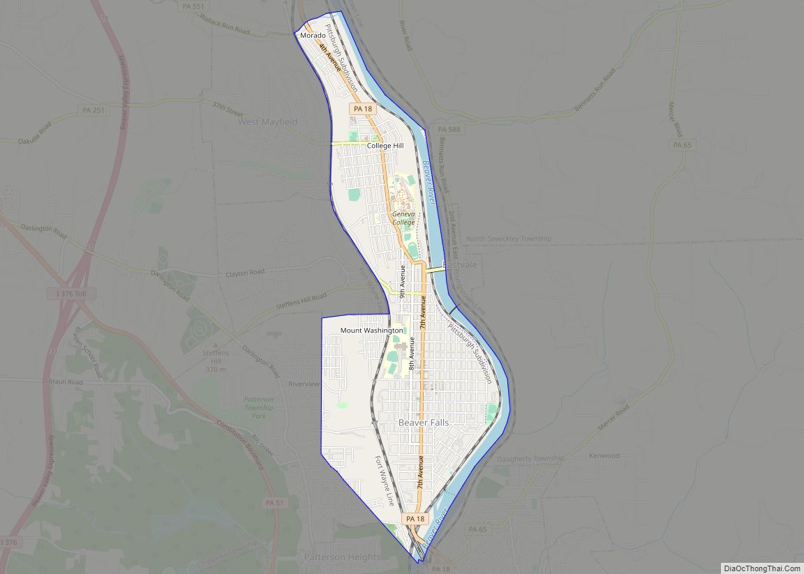
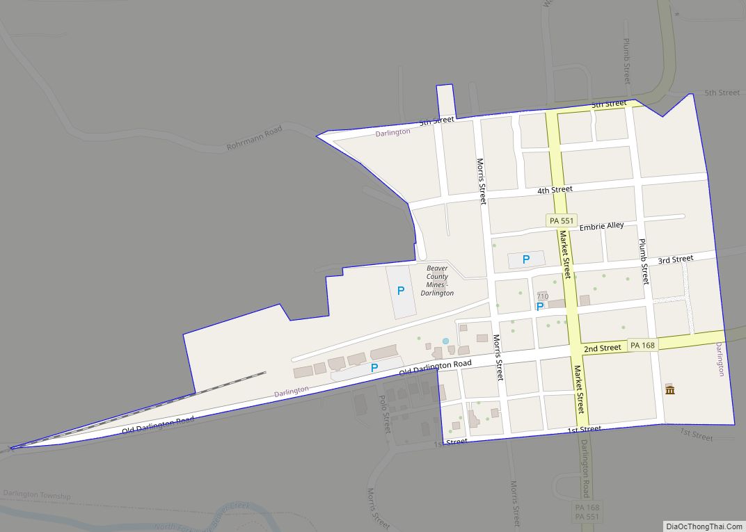
Online Interactive Map
Click on ![]() to view map in "full screen" mode.
to view map in "full screen" mode.
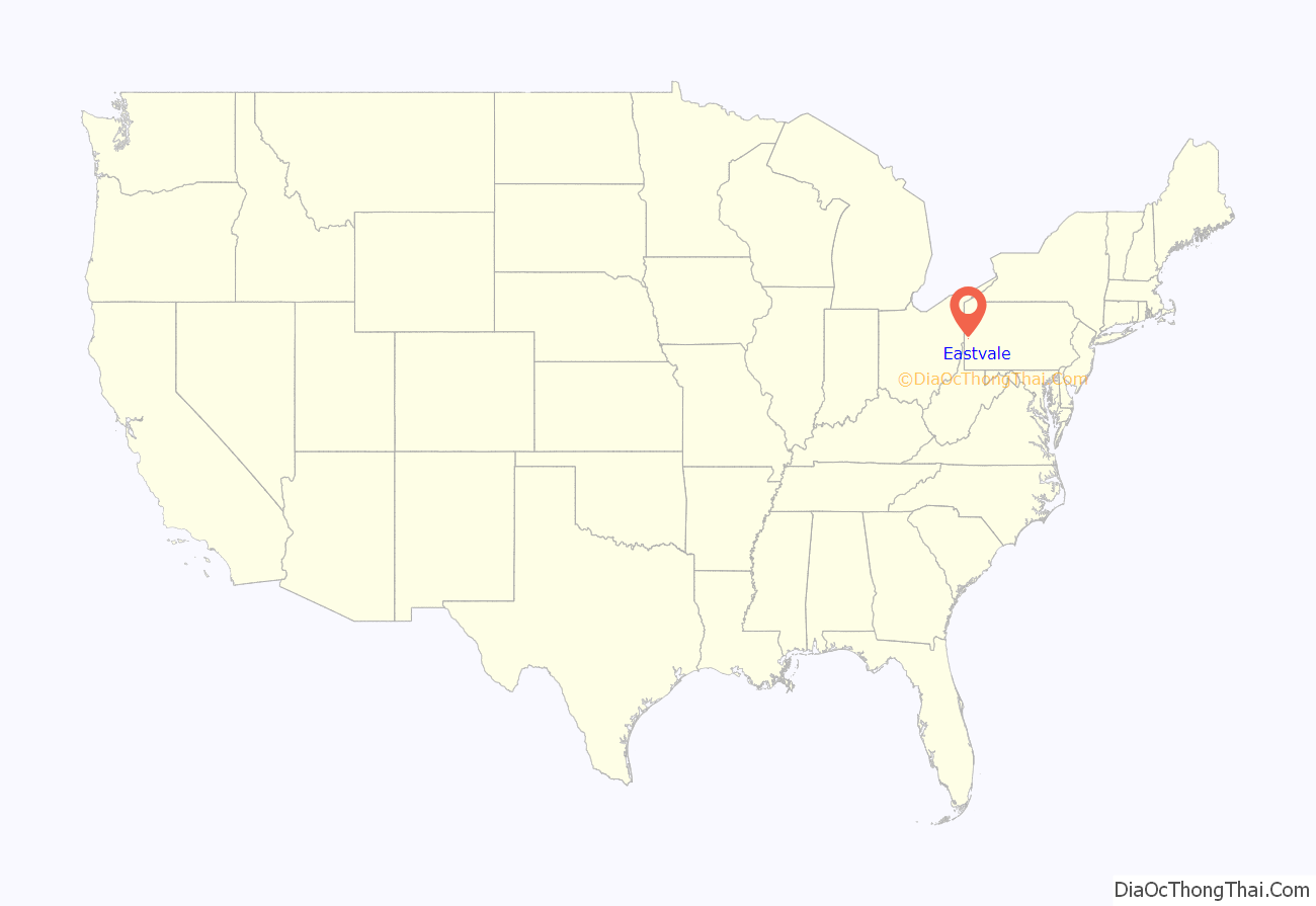
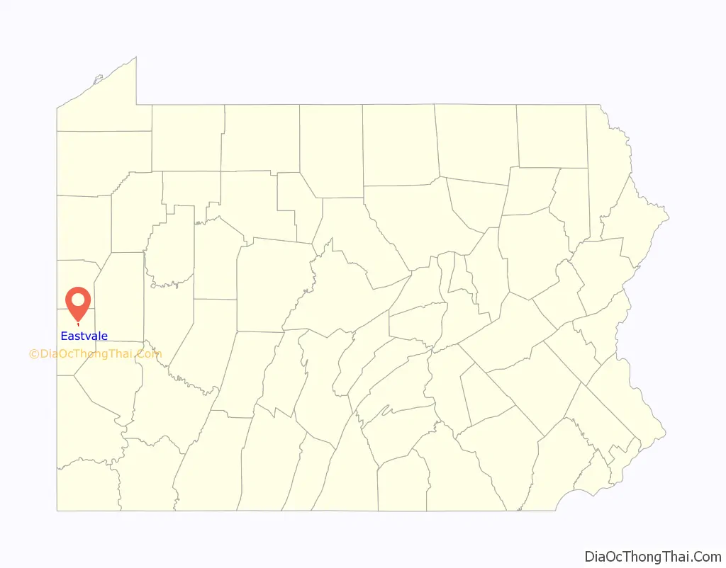
Eastvale location map. Where is Eastvale borough?
History
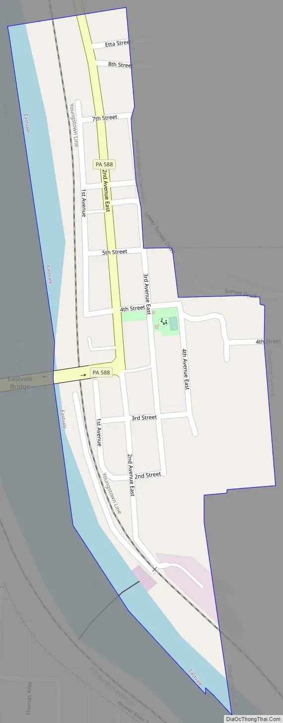
Originally known as “Fetterman,” Eastvale was incorporated from parts of North Sewickley and Pulaski townships on July 1, 1892. The population was 256 at the 1900 census, the first taken since incorporation. A post office was operated in the community from 1897 to 1901, since which time Eastvale addresses have been served by the Beaver Falls post office. The first bridge between Eastvale and Beaver Falls was completed in the 1880s and replaced by the current Eastvale Bridge in 1962. Eastvale’s economy was long dependent on a brickworks at the borough’s southern end, which closed by the mid-1970s.
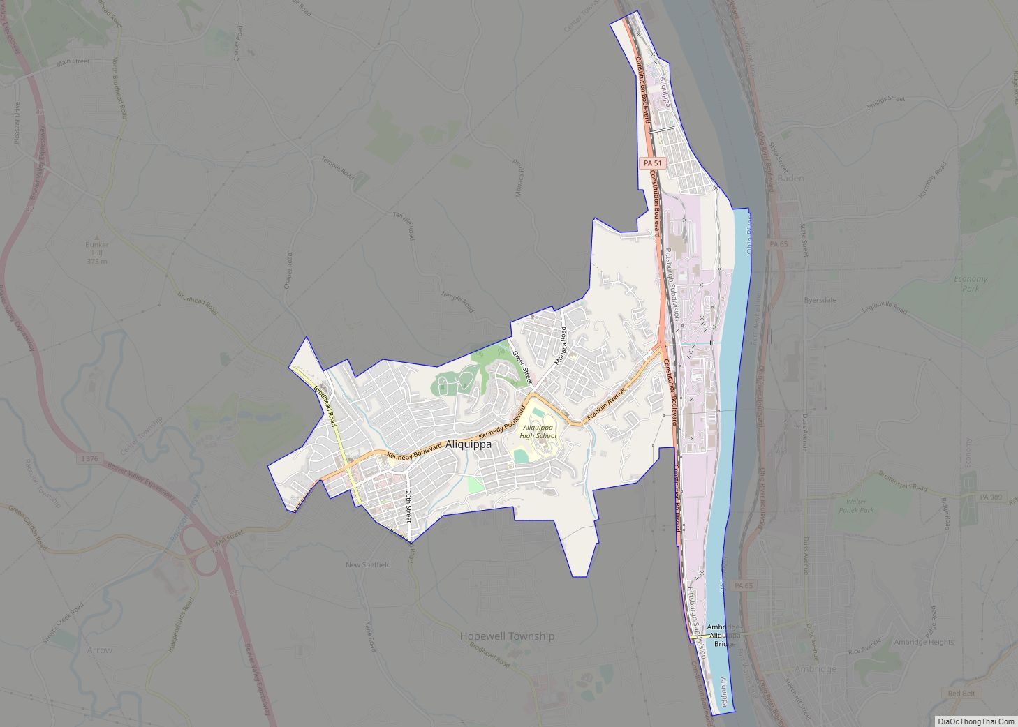
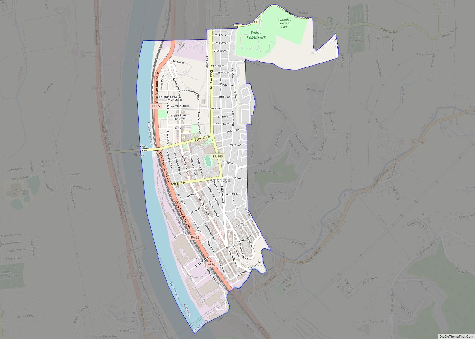
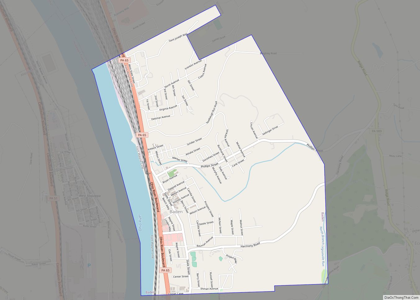
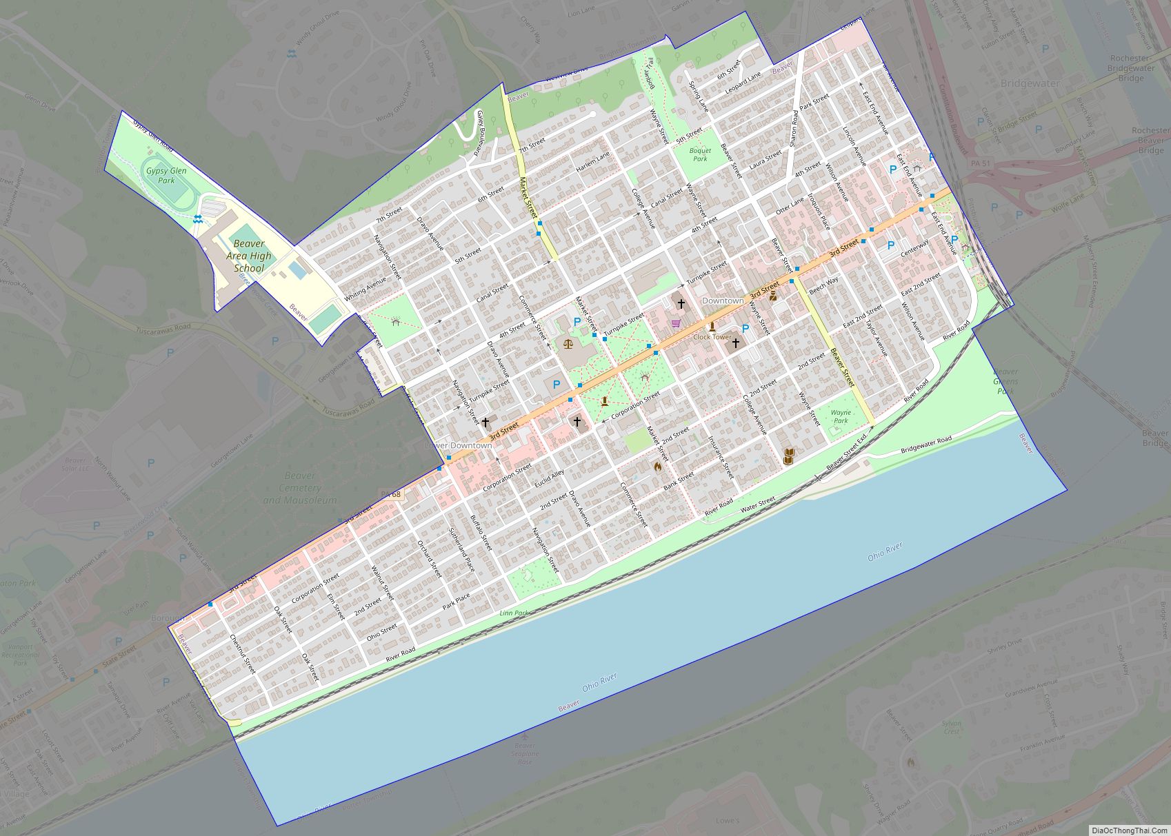
Eastvale Road Map
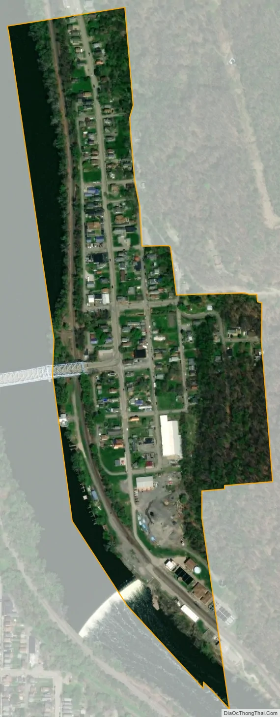
Eastvale city Satellite Map
Geography
Eastvale is located at 40°46′4″N 80°18′52″W / 40.76778°N 80.31444°W / 40.76778; -80.31444 (40.767765, -80.314579), across the Beaver River from the city of Beaver Falls.
According to the United States Census Bureau, the borough has a total area of 0.1 square miles (0.26 km), of which 0.1 square miles (0.26 km) is land and 0.04 square miles (0.10 km) (33.33%) is water. Eastvale consists primarily of a strip of land along the Beaver River, far longer than it is wide. By area, it is the smallest municipality in Beaver County.
See also
Map of Pennsylvania State and its subdivision:- Adams
- Allegheny
- Armstrong
- Beaver
- Bedford
- Berks
- Blair
- Bradford
- Bucks
- Butler
- Cambria
- Cameron
- Carbon
- Centre
- Chester
- Clarion
- Clearfield
- Clinton
- Columbia
- Crawford
- Cumberland
- Dauphin
- Delaware
- Elk
- Erie
- Fayette
- Forest
- Franklin
- Fulton
- Greene
- Huntingdon
- Indiana
- Jefferson
- Juniata
- Lackawanna
- Lancaster
- Lawrence
- Lebanon
- Lehigh
- Luzerne
- Lycoming
- Mc Kean
- Mercer
- Mifflin
- Monroe
- Montgomery
- Montour
- Northampton
- Northumberland
- Perry
- Philadelphia
- Pike
- Potter
- Schuylkill
- Snyder
- Somerset
- Sullivan
- Susquehanna
- Tioga
- Union
- Venango
- Warren
- Washington
- Wayne
- Westmoreland
- Wyoming
- York
- Alabama
- Alaska
- Arizona
- Arkansas
- California
- Colorado
- Connecticut
- Delaware
- District of Columbia
- Florida
- Georgia
- Hawaii
- Idaho
- Illinois
- Indiana
- Iowa
- Kansas
- Kentucky
- Louisiana
- Maine
- Maryland
- Massachusetts
- Michigan
- Minnesota
- Mississippi
- Missouri
- Montana
- Nebraska
- Nevada
- New Hampshire
- New Jersey
- New Mexico
- New York
- North Carolina
- North Dakota
- Ohio
- Oklahoma
- Oregon
- Pennsylvania
- Rhode Island
- South Carolina
- South Dakota
- Tennessee
- Texas
- Utah
- Vermont
- Virginia
- Washington
- West Virginia
- Wisconsin
- Wyoming