Fallston is a borough in Beaver County, Pennsylvania, United States, along the Beaver River. The population was 255 at the 2020 census. It is a part of the Pittsburgh metropolitan area.
| Name: | Fallston borough |
|---|---|
| LSAD Code: | 21 |
| LSAD Description: | borough (suffix) |
| State: | Pennsylvania |
| County: | Beaver County |
| Incorporated: | 1829 |
| Elevation: | 722 ft (220 m) |
| Total Area: | 0.51 sq mi (1.33 km²) |
| Land Area: | 0.47 sq mi (1.23 km²) |
| Water Area: | 0.04 sq mi (0.10 km²) |
| Total Population: | 259 |
| Population Density: | 546.41/sq mi (210.95/km²) |
| Area code: | 724 |
| FIPS code: | 4225152 |
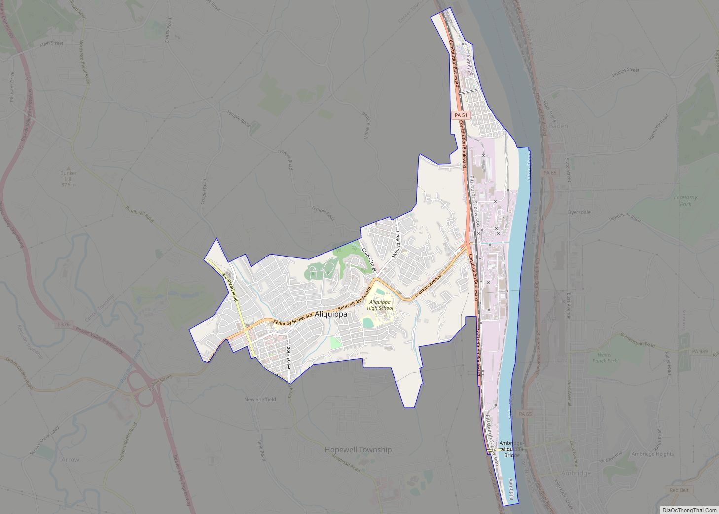
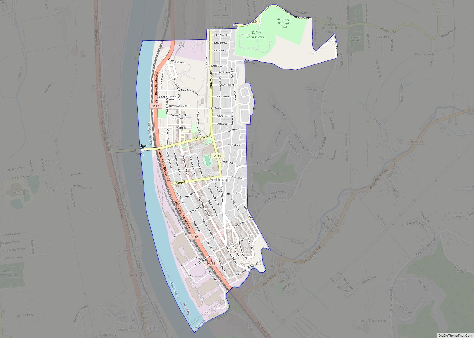
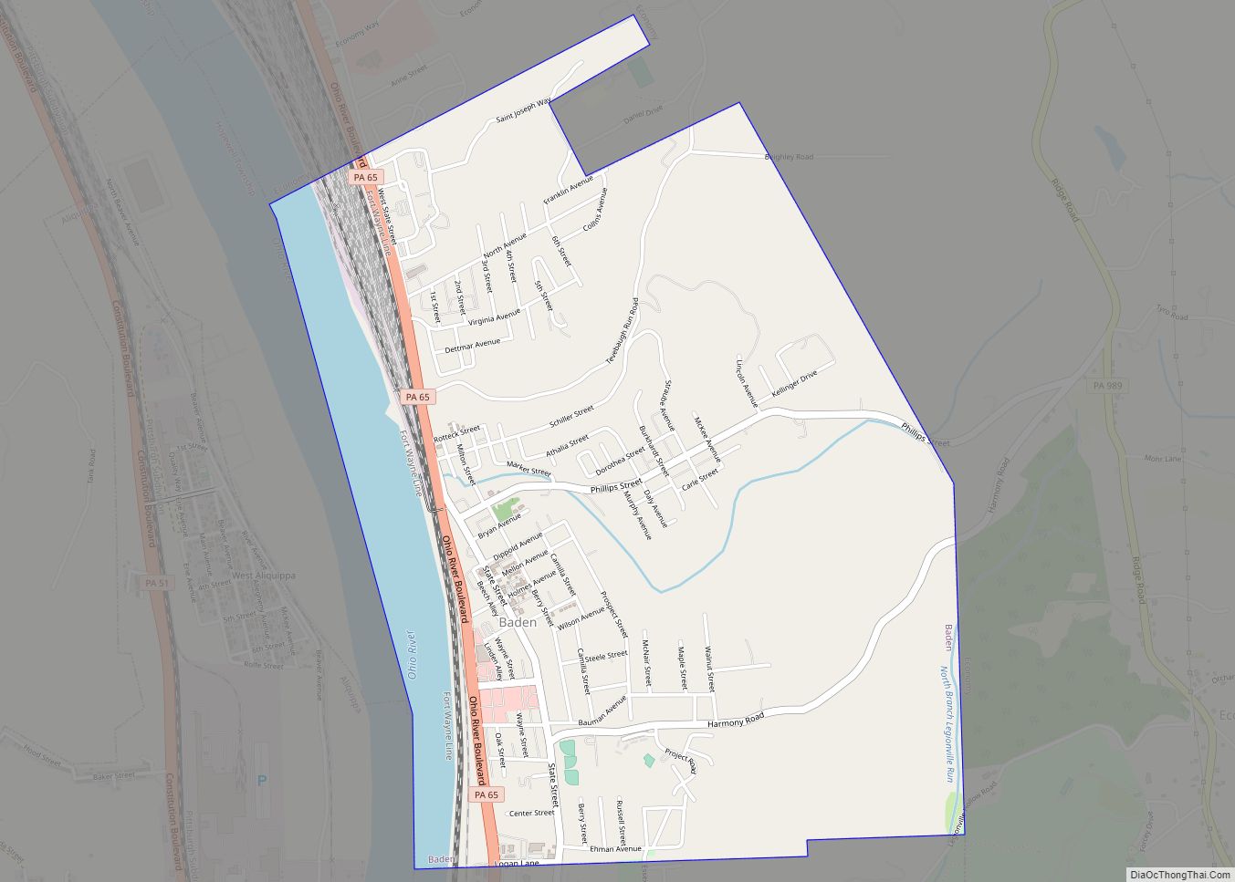
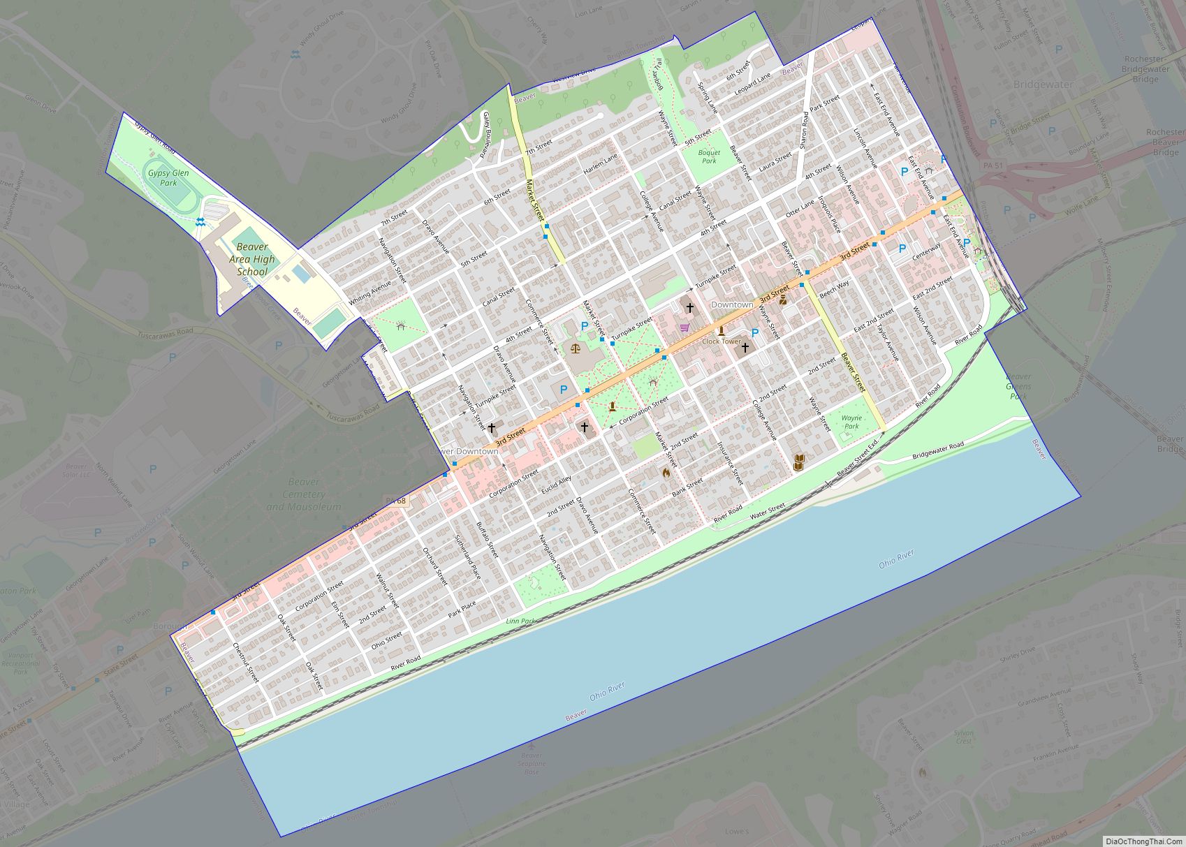
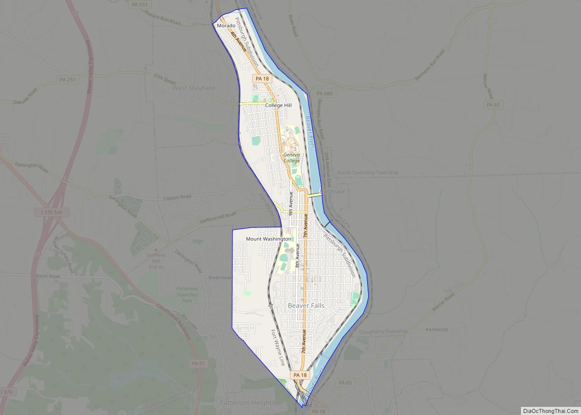
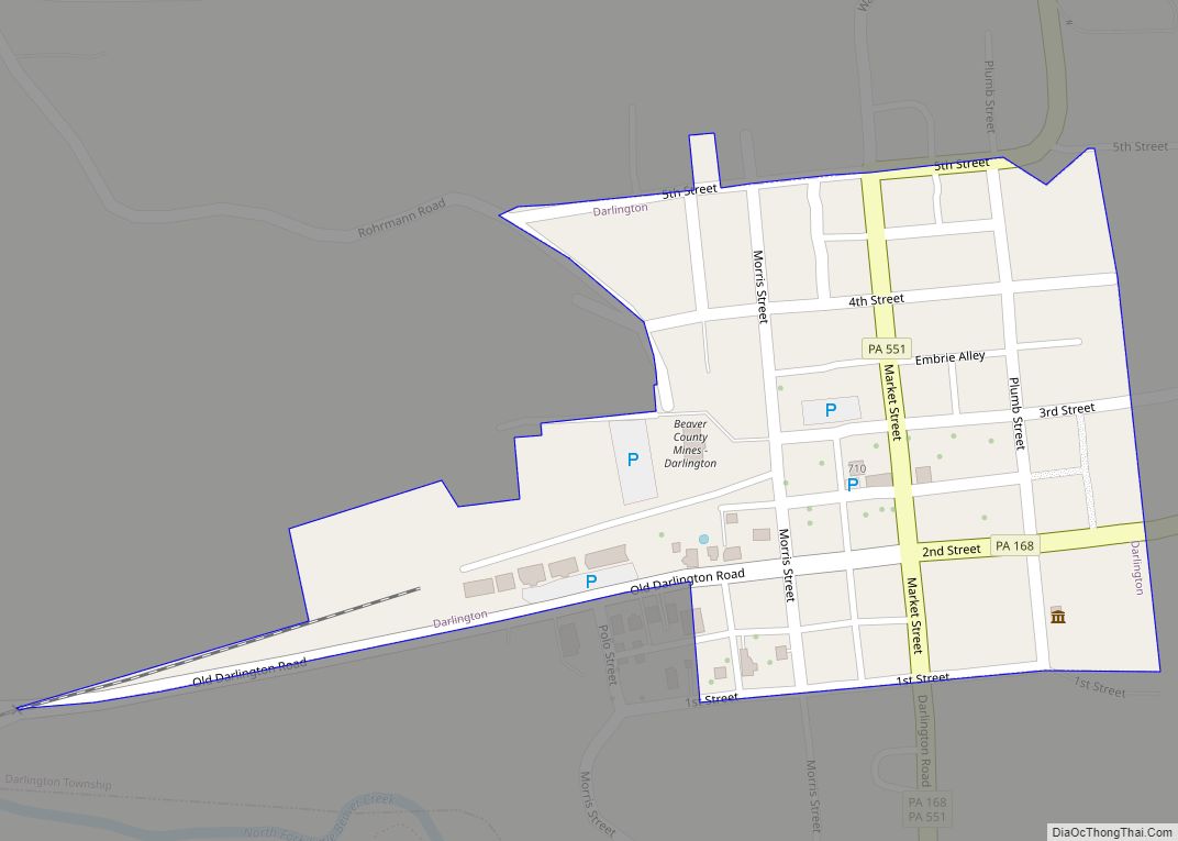
Online Interactive Map
Click on ![]() to view map in "full screen" mode.
to view map in "full screen" mode.
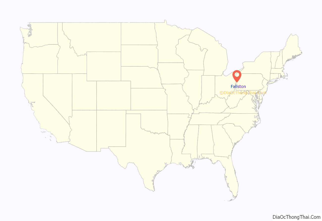
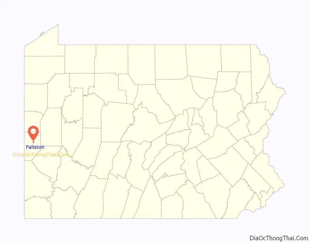
Fallston location map. Where is Fallston borough?
History
Fallston takes its name from a waterfall in the Beaver River. It lies on the west side of the Beaver River immediately opposite New Brighton, Pennsylvania and about a mile below Beaver Falls. The narrow space between the hills on either side and the Beaver River was dammed at the lower falls; the water power allowed Fallston to achieve great importance as a manufacturing center. The Harris’s Pittsburgh Business Directory for the year 1837 states “This place and the surrounding neighborhood, bids fair to be extensively increased, in consequence of the immense mineral and water advantages which it possesses.”
The borough of Fallston, the largest manufacturing center of its time in Beaver County, was incorporated by an Act of the Assembly in 1829. A post office at Fallston was established 25 Jun 1829.
On 5 Aug 1835, the Fallston and Brighton Gazette newspaper started publication in Fallston, one of the earliest newspapers in the county. It was not able to sustain itself, and ceased publication in Nov 1836. The Beaver Falls Union and Beaver County Advocate was the Gazette’s successor, starting publication in Jan 1838; when it published its last on 2 Mar 1839, the Western Argus, which started publication in 1818 elsewhere in Beaver County, attempted and was mainly successful in taking over the Advocate’s readership. It continued publication for more than 86 years (with various changes in name and management over the years).
In 1836, brothers Matthew T Kennedy (1804-1884) and Samuel Kennedy (1810-1886), sons of Thomas Kennedy (1782-1821), an Irish-born wheel and spinning wheel maker, went into business building cabinets and doing wheelwright work carried on by water power. The business later changed into a nail keg, and still later into a lead keg, factory. Their business was successful and in 1876, the Kennedy brothers established a second plant in New Brighton, Pennsylvania. The business was carried on by the founders’ descendants until the 1930s.
1 Oct 1836, a contract for building a covered wooden bridge over the Beaver River at Fallston was awarded to Lathrop & LeBarron. The bridge opened in 1837, and was heavily traveled. Once the bridge was opened, nearly all the manufacturing was done on the Fallston side, with most of the owners of the concerns living on the opposite side of the Beaver in New Brighton. The covered bridge stood in place until 6 Feb 1884, when flooding on the Ohio and Beaver rivers inflicted extensive damage in low-lying areas and swept it away. A fine iron bridge replaced the lost covered bridge and was still in use until February 2015.
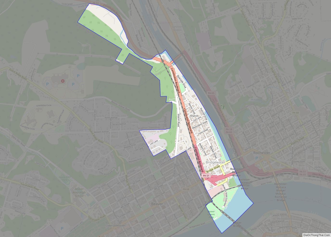
Fallston Road Map
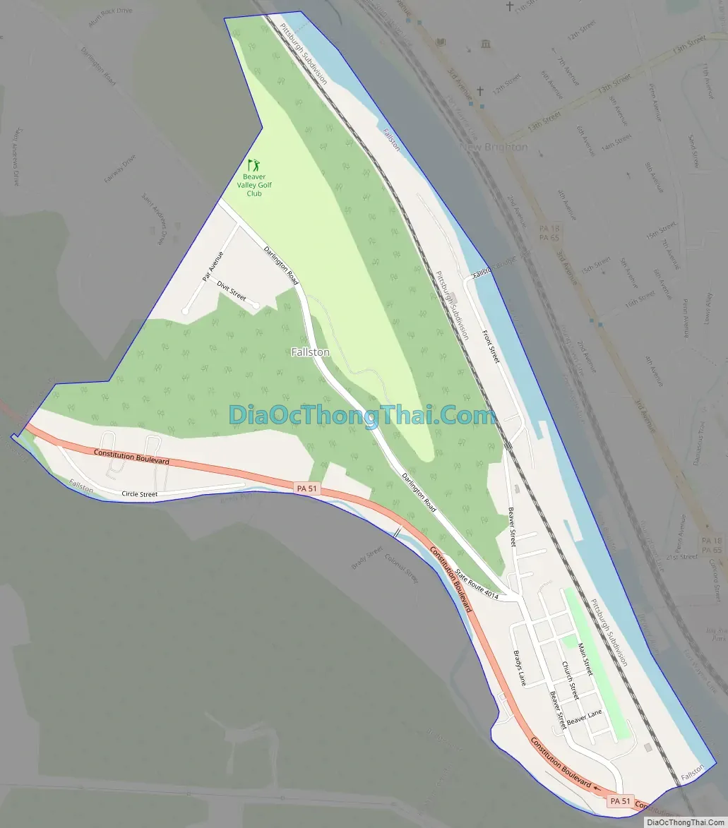
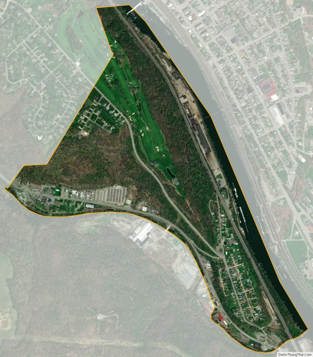
Fallston city Satellite Map
Geography
Fallston is located at 40°43′11″N 80°18′36″W / 40.71972°N 80.31000°W / 40.71972; -80.31000 (40.719732, -80.310006).
According to the United States Census Bureau, the borough has a total area of 0.5 square miles (1.3 km), of which 0.4 square miles (1.0 km) is land and 0.04 square miles (0.10 km) (8.00%) is water.
Surrounding and adjacent neighborhoods
Fallston has three land borders, with Patterson Township to the northwest, Bridgewater to the south and southeast, and Brighton Township to the west. Across the Beaver River, the borough runs adjacent with New Brighton (with a direct connection via Veteran’s Bridge) and Rochester Township.
See also
Map of Pennsylvania State and its subdivision:- Adams
- Allegheny
- Armstrong
- Beaver
- Bedford
- Berks
- Blair
- Bradford
- Bucks
- Butler
- Cambria
- Cameron
- Carbon
- Centre
- Chester
- Clarion
- Clearfield
- Clinton
- Columbia
- Crawford
- Cumberland
- Dauphin
- Delaware
- Elk
- Erie
- Fayette
- Forest
- Franklin
- Fulton
- Greene
- Huntingdon
- Indiana
- Jefferson
- Juniata
- Lackawanna
- Lancaster
- Lawrence
- Lebanon
- Lehigh
- Luzerne
- Lycoming
- Mc Kean
- Mercer
- Mifflin
- Monroe
- Montgomery
- Montour
- Northampton
- Northumberland
- Perry
- Philadelphia
- Pike
- Potter
- Schuylkill
- Snyder
- Somerset
- Sullivan
- Susquehanna
- Tioga
- Union
- Venango
- Warren
- Washington
- Wayne
- Westmoreland
- Wyoming
- York
- Alabama
- Alaska
- Arizona
- Arkansas
- California
- Colorado
- Connecticut
- Delaware
- District of Columbia
- Florida
- Georgia
- Hawaii
- Idaho
- Illinois
- Indiana
- Iowa
- Kansas
- Kentucky
- Louisiana
- Maine
- Maryland
- Massachusetts
- Michigan
- Minnesota
- Mississippi
- Missouri
- Montana
- Nebraska
- Nevada
- New Hampshire
- New Jersey
- New Mexico
- New York
- North Carolina
- North Dakota
- Ohio
- Oklahoma
- Oregon
- Pennsylvania
- Rhode Island
- South Carolina
- South Dakota
- Tennessee
- Texas
- Utah
- Vermont
- Virginia
- Washington
- West Virginia
- Wisconsin
- Wyoming