Freedom is a borough in Beaver County, Pennsylvania, United States, located along the Ohio River 25 miles (40 km) northwest of Pittsburgh. The population was 1,495 at the 2020 census. It is a northern suburb of the Pittsburgh metropolitan area. Originally founded as a steamboat building town, chief industries later included the production of oil, caskets, and monuments.
| Name: | Freedom borough |
|---|---|
| LSAD Code: | 21 |
| LSAD Description: | borough (suffix) |
| State: | Pennsylvania |
| County: | Beaver County |
| Incorporated: | 1838 |
| Elevation: | 827 ft (252 m) |
| Total Area: | 0.74 sq mi (1.91 km²) |
| Land Area: | 0.60 sq mi (1.56 km²) |
| Water Area: | 0.13 sq mi (0.35 km²) |
| Total Population: | 1,496 |
| Population Density: | 2,476.82/sq mi (956.56/km²) |
| Area code: | 724|878 |
| FIPS code: | 4227712 |
| Website: | www.freedomborough.org |
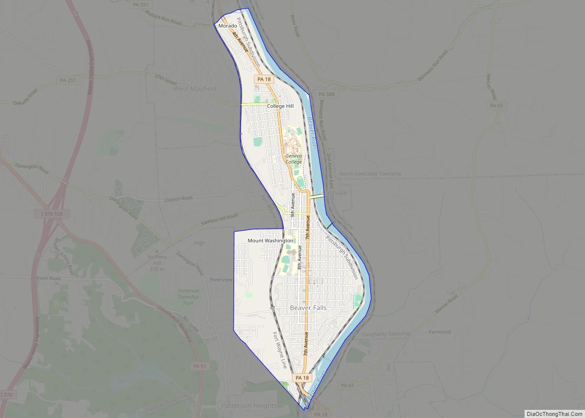
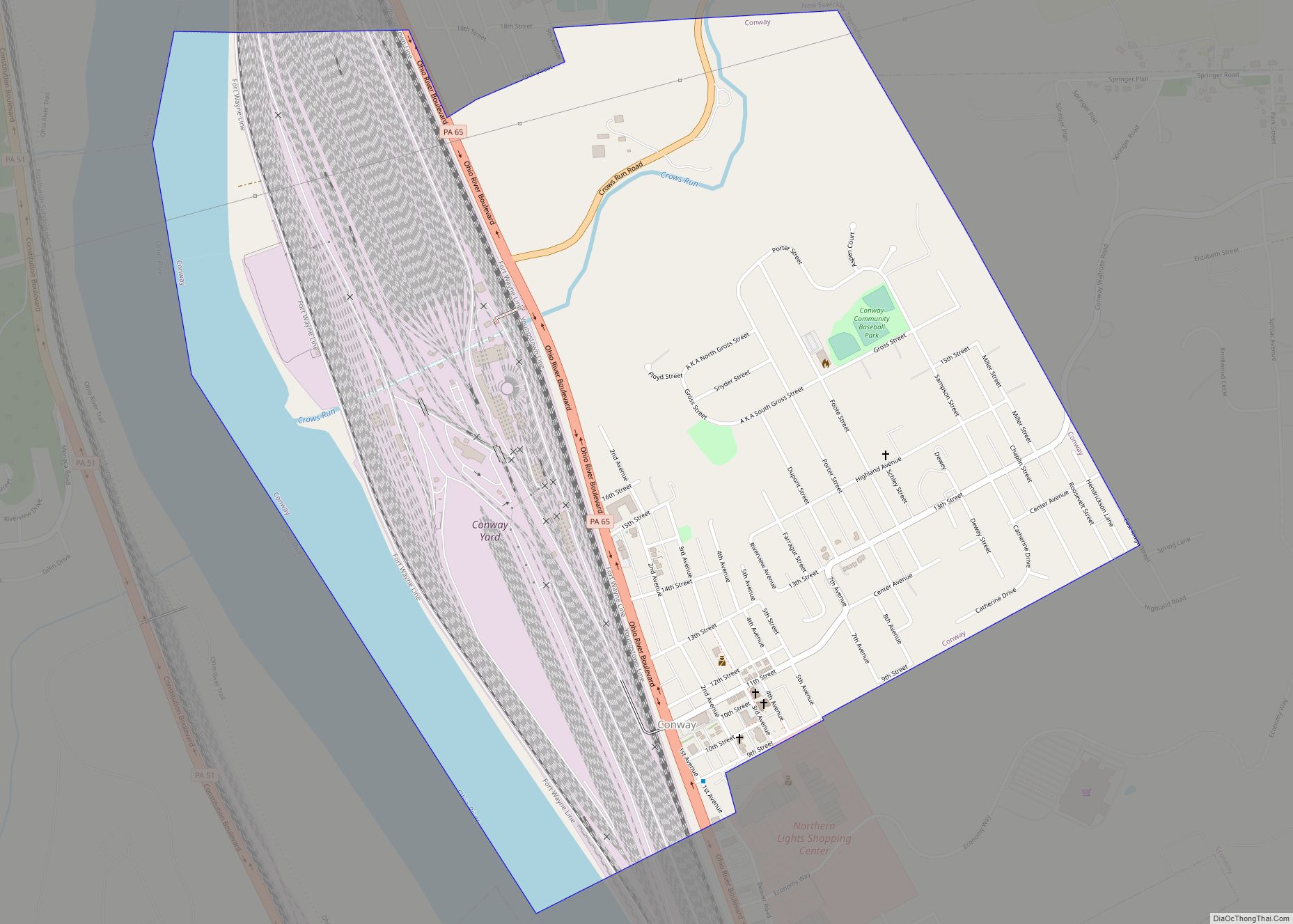
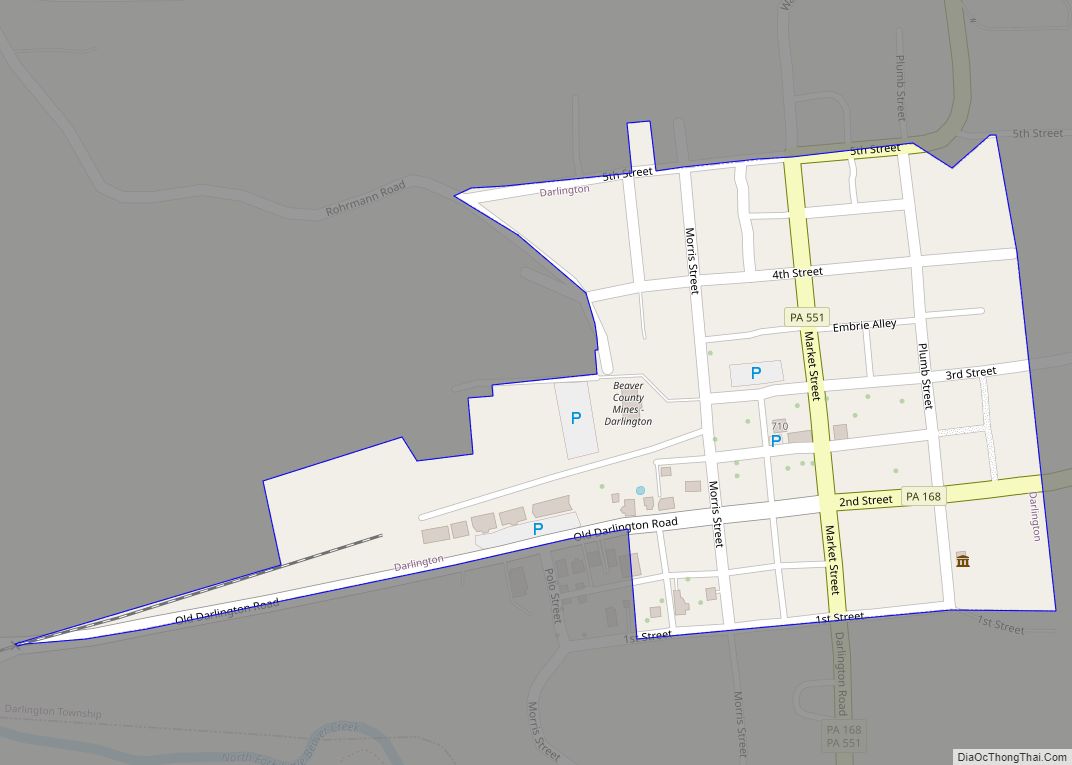
Online Interactive Map
Click on ![]() to view map in "full screen" mode.
to view map in "full screen" mode.
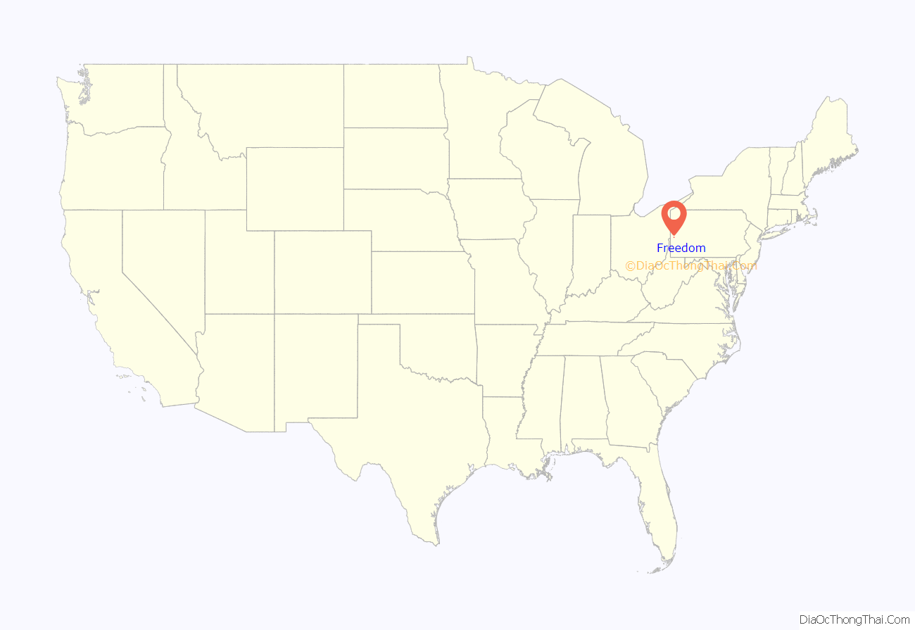
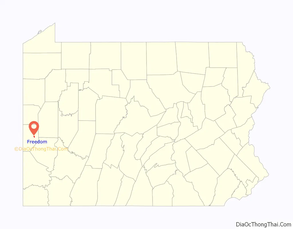
Freedom location map. Where is Freedom borough?
History
In 1824, the Harmony Society returned to Pennsylvania from Indiana. The society settled in what is now Ambridge, five miles (8 km) up the Ohio River. One of the reasons the society left Indiana was because of harassment for their abolitionist activities. Their settlement was in Beaver County, along the Ohio River. There they founded “Ökonomie,” now better known as Old Economy Village. Here, the Society gained worldwide recognition for its religious devotion and economic prosperity.
The Harmonites were abolitionists, and began placing signs along the Ohio River with one word, “FREEDOM”. The area of the present-day borough of Freedom began to be called such on maps of the Ohio River used by the steamboat navigators.
Establishment
The community of Freedom was founded in 1832 by Jonathan Betz and Stephen Phillips, co-owners of a steamboat building business. They purchased about 100 acres (0.40 km) of land for $2,000.00 from General Abner Lacock. The original village was surveyed and plotted by Simon Meredith. All of the lots, streets and alleys were located with special preference to the steamboat-building business, the only business at the time. Later, an additional 39 acres (160,000 m) were purchased from Captain William Vicary for $2,500.00. Vicary himself retained some property in the area, including a stone house; today, the house remains a local landmark, and is listed on the National Register of Historic Places.
About 150 people first located in Freedom and it grew rapidly. The town was laid out on a Tuesday and by the following Saturday, fourteen houses had been built. In 1833, Freedom contained 40 dwellings, 47 families, and about 320 people. Boat building and distilling were its two main businesses.
By 1837, Freedom had grown to a population of about 600, and 100 dwellings. New businesses included a foundry, and steam engines manufactured by J. Baker and Company, a large steam sawmill, and an extensive distillery and gristmill owned by J. Stahl and Company. The merchants at that time were: Phillips and McConnell, Stile and Fisher, Phillip Bentel, John Donnan, J. W. Mead, three innkeepers: Samuel Furnier, J. W. Snead, and Thomas G. Kerr and two physicians: Drs. William Smith and T. F. Robinson.
In 1896, the neighboring borough of Saint Clair was absorbed by Freedom. Saint Clair Borough was located in what is currently Freedom’s second ward. It was laid out by Captain William Vicary and was often simply called Vicary or Vicary Extension.
Freedom Road Map
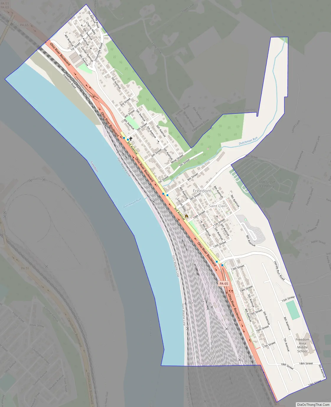
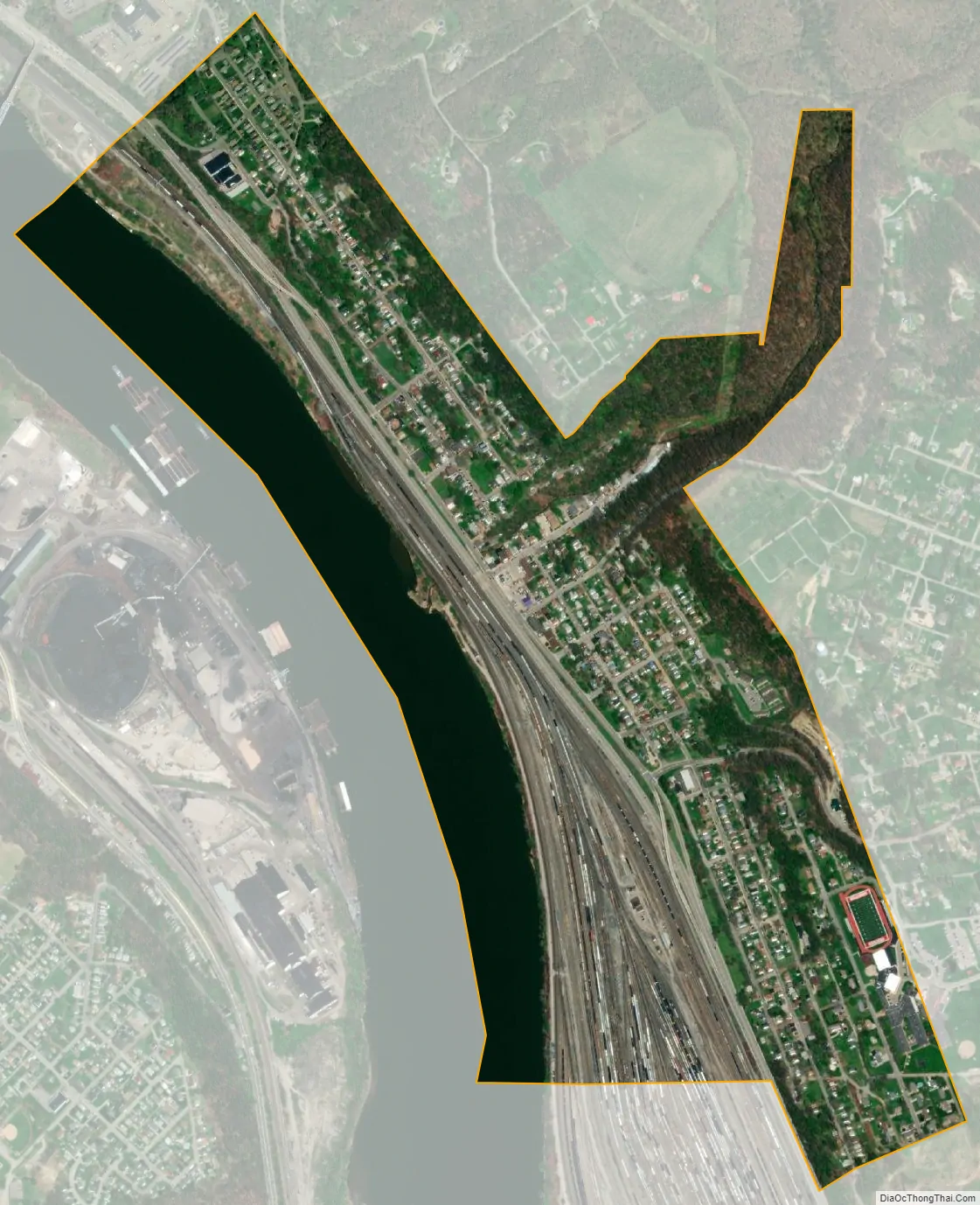
Freedom city Satellite Map
Geography
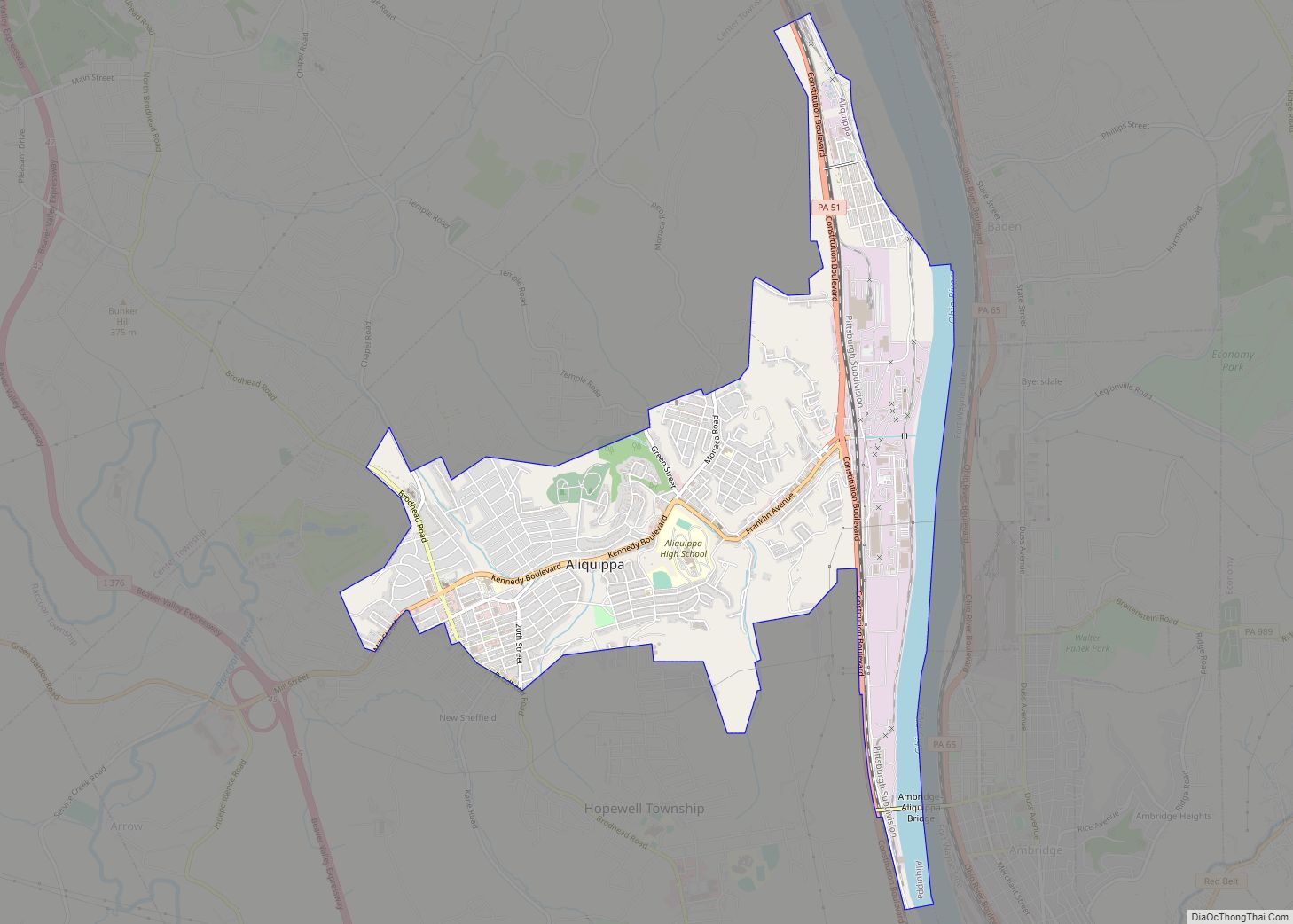
Freedom is located at 40°41′4″N 80°15′6″W / 40.68444°N 80.25167°W / 40.68444; -80.25167 (40.684316, -80.251667). Freedom has three borders, including the borough of East Rochester to the northwest, New Sewickley Township to the east and northeast and the borough of Conway to the south. Freedom also runs adjacent with the borough of Monaca across the Ohio River.
According to the United States Census Bureau, the borough has a total area of 0.7 square miles (1.8 km), of which 0.6 square miles (1.6 km) is land and 0.1 square miles (0.26 km) (18.06%) is water.
See also
Map of Pennsylvania State and its subdivision:- Adams
- Allegheny
- Armstrong
- Beaver
- Bedford
- Berks
- Blair
- Bradford
- Bucks
- Butler
- Cambria
- Cameron
- Carbon
- Centre
- Chester
- Clarion
- Clearfield
- Clinton
- Columbia
- Crawford
- Cumberland
- Dauphin
- Delaware
- Elk
- Erie
- Fayette
- Forest
- Franklin
- Fulton
- Greene
- Huntingdon
- Indiana
- Jefferson
- Juniata
- Lackawanna
- Lancaster
- Lawrence
- Lebanon
- Lehigh
- Luzerne
- Lycoming
- Mc Kean
- Mercer
- Mifflin
- Monroe
- Montgomery
- Montour
- Northampton
- Northumberland
- Perry
- Philadelphia
- Pike
- Potter
- Schuylkill
- Snyder
- Somerset
- Sullivan
- Susquehanna
- Tioga
- Union
- Venango
- Warren
- Washington
- Wayne
- Westmoreland
- Wyoming
- York
- Alabama
- Alaska
- Arizona
- Arkansas
- California
- Colorado
- Connecticut
- Delaware
- District of Columbia
- Florida
- Georgia
- Hawaii
- Idaho
- Illinois
- Indiana
- Iowa
- Kansas
- Kentucky
- Louisiana
- Maine
- Maryland
- Massachusetts
- Michigan
- Minnesota
- Mississippi
- Missouri
- Montana
- Nebraska
- Nevada
- New Hampshire
- New Jersey
- New Mexico
- New York
- North Carolina
- North Dakota
- Ohio
- Oklahoma
- Oregon
- Pennsylvania
- Rhode Island
- South Carolina
- South Dakota
- Tennessee
- Texas
- Utah
- Vermont
- Virginia
- Washington
- West Virginia
- Wisconsin
- Wyoming