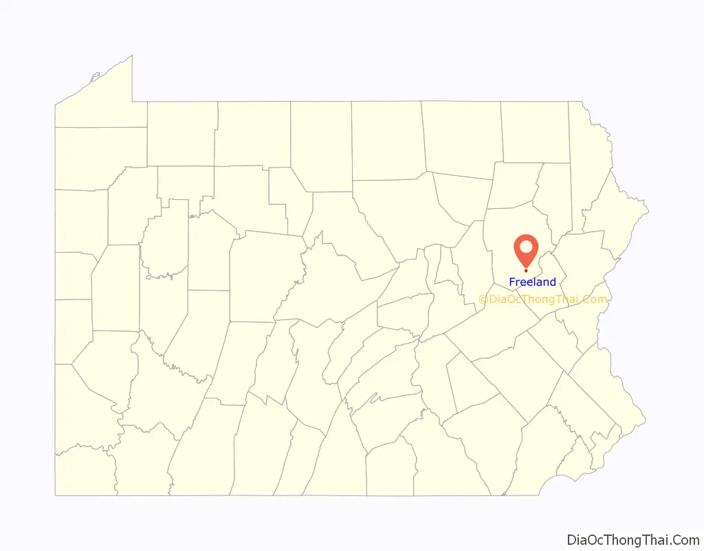
Freeland is a borough in Luzerne County, Pennsylvania, United States. It was originally called Birbeckville, South Heberton, and Freehold. Freeland is 18 miles (29 km) south of Wilkes-Barre and 10 miles (16 km) northeast of Hazleton. It was incorporated as a borough on September 11, 1876. Coal mining was the chief industry in the community through the mid-20th century. As of the 2020 census, the population was 3,833.
| Name: | Freeland borough |
|---|---|
| LSAD Code: | 21 |
| LSAD Description: | borough (suffix) |
| State: | Pennsylvania |
| County: | Luzerne County |
| Incorporated: | 1876 |
| Elevation: | 1,943 ft (592 m) |
| Total Area: | 0.68 sq mi (1.75 km²) |
| Land Area: | 0.68 sq mi (1.75 km²) |
| Water Area: | 0.00 sq mi (0.00 km²) |
| Total Population: | 3,833 |
| Population Density: | 5,678.52/sq mi (2,191.78/km²) |
| ZIP code: | 18224 |
| Area code: | 570 |
| FIPS code: | 4227744 |
| Website: | www.freelandborough.com |
Online Interactive Map
Click on ![]() to view map in "full screen" mode.
to view map in "full screen" mode.
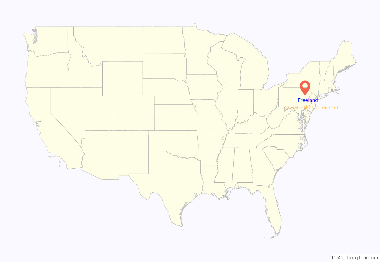
Freeland location map. Where is Freeland borough?
History
Establishment
Joseph Birkbeck, the founder of Freeland, was born near Brough, in the county of Westmorland, England, on May 2, 1802. He and his wife Elizabeth came to America in 1844. After acquiring land from Edward Lynch the same year of his arrival, Birkbeck built a log cabin in a small valley between modern-day Freeland and Upper Lehigh. The next settler, Nathan Howey, purchased land from Birkbeck and built a frame house just west of Birkbeck’s log cabin.
Coal mining
Developing coal mines in the nearby region created a steep increase in population and a demand for building lots. This led Birkbeck to survey the region for the town of South Heberton. South Heberton has long since lost its identity and is now simply a cluster of houses along Schwabe Street, which is now part of Freeland.
Between 1845 and 1846, Birkbeck built a highway through South Heberton, Eckley Miners’ Village, and Buck Mountain; it was known as Buck Mountain Road. Eckley was then known as Shingletown, as the chief industry there was the production of shingles.
The first child born at South Heberton was Elizabeth Birkbeck, the daughter of founder Joseph Birkbeck and his wife Elizabeth, in 1845. The first death at this place was that of William, the son of Joseph and Elizabeth Birkbeck, which occurred February 11, 1846. He was four years old at the time. The first store at South Heberton was owned by a man named Feist. It was located west of Birkbeck’s cabin. The first tavern was founded by Nathan Howey, the second settler in the region. Prior to the opening of Howey’s tavern, Birkbeck accommodated parties, who were prospecting for anthracite deposits, in his own home.
Incorporation
Freehold and South Heberton merged to create modern-day Freeland. Freeland was incorporated as a borough on September 11, 1876. Two years later, in 1878, a frame school was built in the town. By 1880, the population of the community surpassed 600. In 1883, the first Slovak Lutheran Church in America was organized in Freeland. The population steadily increased due to the expanding coal mining industry in the region. Many Europeans immigrated to Freeland up until the mid-20th century.
Present day
The coal mining industry in and around Freeland collapsed after the 1959 Knox Mine Disaster in northern Luzerne County. As of 2017, Freeland had a YMCA program, a community park, the Hazleton Area Public Library (Freeland Branch), and a remodeled Little League field. Also, there is a football/baseball field named “Della Croce Field,” after Gene Della Croce, the former Director of the Freeland YMCA. Along with the several parks and fields, several restaurants still remain in Freeland including The Other Side, Sorrento’s Pizza, The Garlic Knot, and Garden Chen Chinese Food. A CVS Pharmacy is also located in the central part of Freeland.
Customs
Since a large demographic of people in Freeland are of Irish descent, every year, there is a St. Patrick’s Day parade through downtown, which is followed by a dinner. There are also annual events for Memorial Day and Veterans Day, due to the large amount of retired and active duty soldiers living in the surrounding communities. As part of the Memorial Day celebration, an annual Pub Run takes place, in which participants run a course with bars along the way. Participants must stop and finish a drink at each bar before continuing the race. The race usually consists of nine bars throughout the borough, as well as some that do not technically fall within the municipal entity.
Freeland Road Map
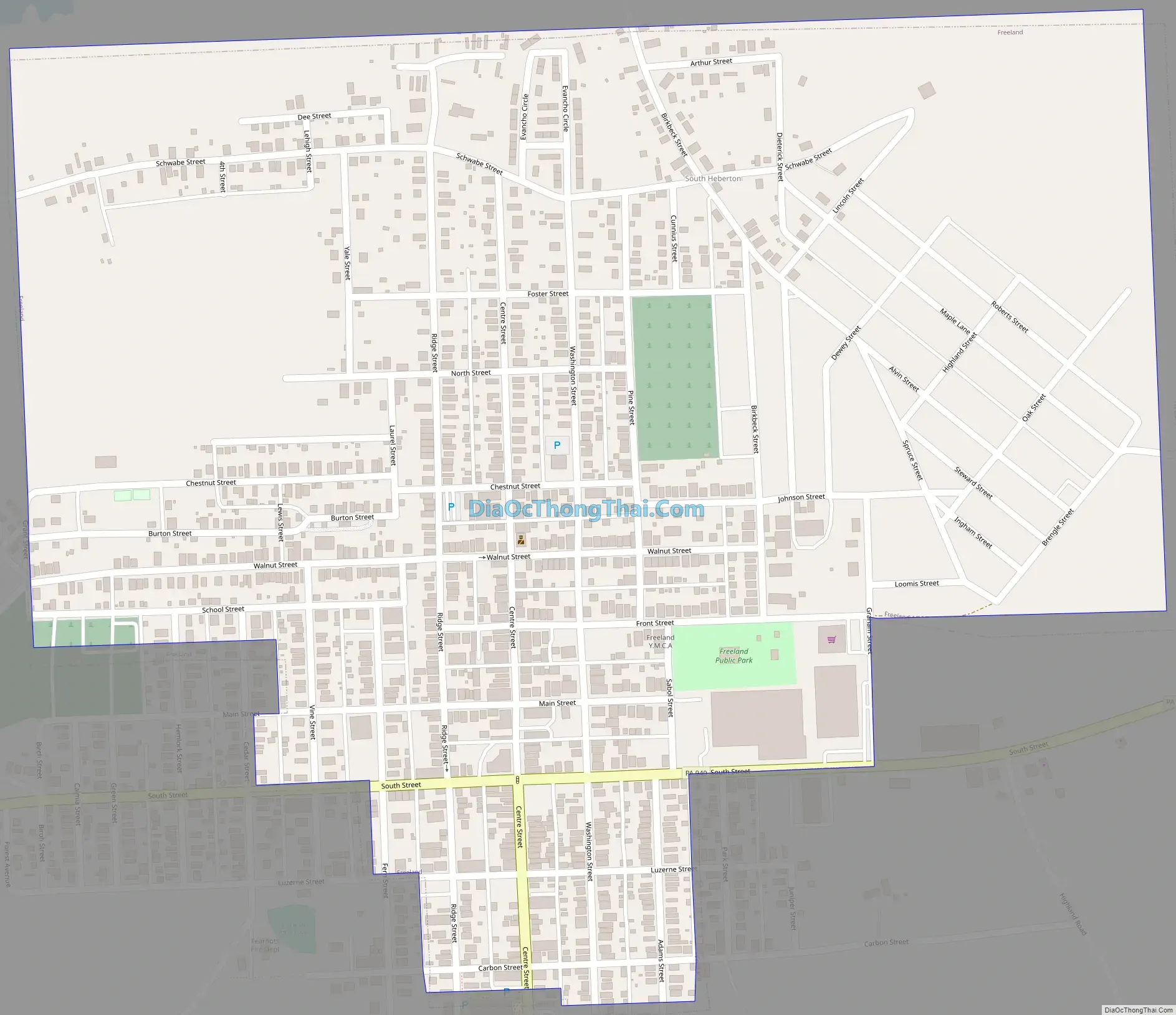
Freeland city Satellite Map

Geography
Freeland is located 18 mi (29 km) south of Wilkes-Barre and 10 mi (16 km) northeast of Hazleton (in an agricultural region).
According to the United States Census Bureau, the borough has a total area of 0.66 square miles (1.7 km), all land. Foster Township completely encircles the borough. Pennsylvania Route 940 runs through Freeland; it provides a direct link to Hazleton and White Haven. The closest airport is Hazleton Regional Airport, which is a public airport two miles northwest of Hazleton City.
Climate
The Köppen Climate Classification subtype for this climate is “Dfb” (Warm Summer Continental Climate).
See also
Map of Pennsylvania State and its subdivision:- Adams
- Allegheny
- Armstrong
- Beaver
- Bedford
- Berks
- Blair
- Bradford
- Bucks
- Butler
- Cambria
- Cameron
- Carbon
- Centre
- Chester
- Clarion
- Clearfield
- Clinton
- Columbia
- Crawford
- Cumberland
- Dauphin
- Delaware
- Elk
- Erie
- Fayette
- Forest
- Franklin
- Fulton
- Greene
- Huntingdon
- Indiana
- Jefferson
- Juniata
- Lackawanna
- Lancaster
- Lawrence
- Lebanon
- Lehigh
- Luzerne
- Lycoming
- Mc Kean
- Mercer
- Mifflin
- Monroe
- Montgomery
- Montour
- Northampton
- Northumberland
- Perry
- Philadelphia
- Pike
- Potter
- Schuylkill
- Snyder
- Somerset
- Sullivan
- Susquehanna
- Tioga
- Union
- Venango
- Warren
- Washington
- Wayne
- Westmoreland
- Wyoming
- York
- Alabama
- Alaska
- Arizona
- Arkansas
- California
- Colorado
- Connecticut
- Delaware
- District of Columbia
- Florida
- Georgia
- Hawaii
- Idaho
- Illinois
- Indiana
- Iowa
- Kansas
- Kentucky
- Louisiana
- Maine
- Maryland
- Massachusetts
- Michigan
- Minnesota
- Mississippi
- Missouri
- Montana
- Nebraska
- Nevada
- New Hampshire
- New Jersey
- New Mexico
- New York
- North Carolina
- North Dakota
- Ohio
- Oklahoma
- Oregon
- Pennsylvania
- Rhode Island
- South Carolina
- South Dakota
- Tennessee
- Texas
- Utah
- Vermont
- Virginia
- Washington
- West Virginia
- Wisconsin
- Wyoming


