Gordonville is an unincorporated community and census-designated place (CDP) in Leacock Township, Lancaster County, Pennsylvania, United States. The population was 508 as of the 2010 census. Though the village is little known outside its immediate area, the surrounding countryside has been portrayed in many books and magazine articles. The Old Order Amish constitute a significant cultural presence in the area of the village. Wendell Berry mentioned the town in one of his collections of essays.
| Name: | Gordonville CDP |
|---|---|
| LSAD Code: | 57 |
| LSAD Description: | CDP (suffix) |
| State: | Pennsylvania |
| County: | Lancaster County |
| Elevation: | 400 ft (100 m) |
| Total Area: | 0.95 sq mi (2.46 km²) |
| Land Area: | 0.95 sq mi (2.46 km²) |
| Water Area: | 0.00 sq mi (0.00 km²) |
| Total Population: | 523 |
| Population Density: | 550.53/sq mi (212.67/km²) |
| ZIP code: | 17529 |
| Area code: | 717 |
| FIPS code: | 4230136 |
| GNISfeature ID: | 1175839 |
Online Interactive Map
Click on ![]() to view map in "full screen" mode.
to view map in "full screen" mode.
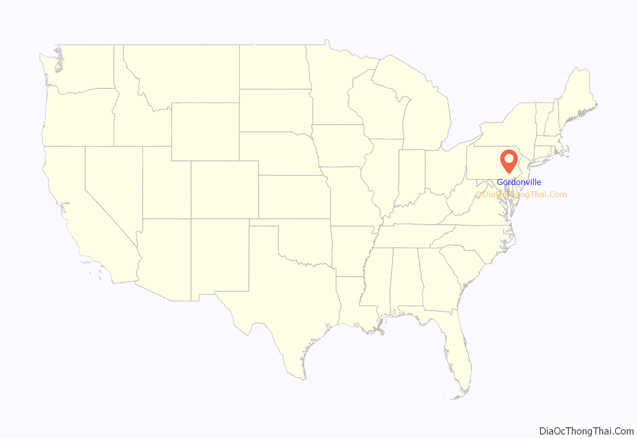
Gordonville location map. Where is Gordonville CDP?
History
Gordonville is located on part of a grant of 2,300 acres (9.3 km) of land to the Mary Feree family by the sons of William Penn. The town resulted from the railroad that planned to pass through the area. Around 1829 land was surveyed for the Philadelphia and Columbia Railroad, chartered in 1823 and again in 1826, to run between Philadelphia and Columbia, a growing city along the Susquehanna River south of Harrisburg. Land on the south and west side of the railway route belonged to the Christian Hershey family, which was associated with the land from as early as 1709. Daniel Gordon erected the first dwelling on land now associated with the village in 1832 (some say 1834), a 2+1⁄2-story, five-bay brick farmhouse with central doorway, largely intact gallery under gable roof, with first floor windows on facade to floor. The house was inhabited by Henry Eckert in the 1880s, and is still occupied today, though divided into several apartments.
Early trains on the railroad were merely wagons, fitted to run on tracks and pulled by horses along the single track. The first U.S.-made locomotive, built at Philadelphia’s Baldwin Locomotive Works, was produced in 1832. On 17 April 1834 the first long distance steam train ran through Gordonville along the new Columbia Railroad; the 60-mile (97 km) journey from Lancaster to Philadelphia took about eight and one half hours. Only one track was in use until October of that year; turnouts every one and a half miles allowed for passing. By 1836 Daniel Gordon had a house, a warehouse, and a storehouse on the south and west side of the railway, and the town was starting to grow. In 1857 the Pennsylvania Railroad purchased Pennsylvania’s Main Line of Public Works, which by then included the Philadelphia and Columbia Railroad and an ambitious cross-Appalachian canal project. The nickname “Main Line” was affixed to the railroad route. Abraham Lincoln spoke from his train at nearby Leaman Place-Strasburg railroad junction on 22 February 1861, only one mile east of Gordonville; over 5,000 people were present. (In 1968 Hubert H. Humphrey, candidate for president, stopped and spoke at the same place.) In 1870 two barns in Gordonville were destroyed by fire caused by locomotive sparks. The 1895 U.S. Atlas described the village of Gordonville as having a population of 413, a railroad station, post office, and express office. By 1898 the railway was widened to four tracks, and by the early twentieth century 200 trains per day passed through the town. The building of the famous (and now abandoned) low grade railway in the southern end of the Lancaster County in 1906 drastically reduced train traffic. The railway line was electrified in 1938. Later in the early twentieth century only six passenger trains and two freight trains actually made scheduled stops at Gordonville station each day. One of the freights was the morning milk train. Today the village has a population of about 460 people. Amtrak trains still travel through the town along the railway that brought about the town’s birth. There is talk of a new station to be erected at Leaman Place, a mile east of Gordonville at the Strasburg RR junction, which would serve Amtrak and SEPTA trains.
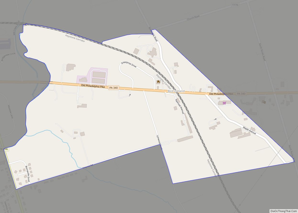
Gordonville Road Map
Gordonville city Satellite Map
Geography
The village is in eastern Lancaster County in the southwestern corner of Leacock Township, approximately 10 miles (16 km) east of the county seat of Lancaster, 2 miles (3 km) southwest of the village of Intercourse, less than one mile (1.1 km) north of Paradise, and about 3 miles (5 km) southeast of Bird-in-Hand. Gordonville is bordered to the southwest and south by Soudersburg.
According to the U.S. Census Bureau, the Gordonville CDP has an area of 0.97 square miles (2.5 km), all land. The community drains south to Pequea Creek, a southwestward-flowing tributary of the Susquehanna River.
There are 153 farms in Leacock Township; all but seven are owned by Amish families. These small-scale farms (many with small shops) dot the gently rolling and open landscape around the village. Though rural in character, Gordonville is at the edge of the metropolis: Amtrak Keystone Service trains pass daily through the village on runs to Lancaster and Harrisburg to the west and Philadelphia and New York City to the east. Though there was once a train station in the center of the village, no train has officially stopped there since the 1950s. On back roads, horse-drawn buggies and automobiles occasionally compete for space with rollerblading Amish youth and Amish men on scooters commuting to local jobs.
See also
Map of Pennsylvania State and its subdivision:- Adams
- Allegheny
- Armstrong
- Beaver
- Bedford
- Berks
- Blair
- Bradford
- Bucks
- Butler
- Cambria
- Cameron
- Carbon
- Centre
- Chester
- Clarion
- Clearfield
- Clinton
- Columbia
- Crawford
- Cumberland
- Dauphin
- Delaware
- Elk
- Erie
- Fayette
- Forest
- Franklin
- Fulton
- Greene
- Huntingdon
- Indiana
- Jefferson
- Juniata
- Lackawanna
- Lancaster
- Lawrence
- Lebanon
- Lehigh
- Luzerne
- Lycoming
- Mc Kean
- Mercer
- Mifflin
- Monroe
- Montgomery
- Montour
- Northampton
- Northumberland
- Perry
- Philadelphia
- Pike
- Potter
- Schuylkill
- Snyder
- Somerset
- Sullivan
- Susquehanna
- Tioga
- Union
- Venango
- Warren
- Washington
- Wayne
- Westmoreland
- Wyoming
- York
- Alabama
- Alaska
- Arizona
- Arkansas
- California
- Colorado
- Connecticut
- Delaware
- District of Columbia
- Florida
- Georgia
- Hawaii
- Idaho
- Illinois
- Indiana
- Iowa
- Kansas
- Kentucky
- Louisiana
- Maine
- Maryland
- Massachusetts
- Michigan
- Minnesota
- Mississippi
- Missouri
- Montana
- Nebraska
- Nevada
- New Hampshire
- New Jersey
- New Mexico
- New York
- North Carolina
- North Dakota
- Ohio
- Oklahoma
- Oregon
- Pennsylvania
- Rhode Island
- South Carolina
- South Dakota
- Tennessee
- Texas
- Utah
- Vermont
- Virginia
- Washington
- West Virginia
- Wisconsin
- Wyoming
