Homeacre-Lyndora is a census-designated place (CDP) in Butler County, Pennsylvania, United States. The population was 6,906 at the 2010 census.
| Name: | Homeacre-Lyndora CDP |
|---|---|
| LSAD Code: | 57 |
| LSAD Description: | CDP (suffix) |
| State: | Pennsylvania |
| County: | Butler County |
| Total Area: | 6.64 sq mi (17.20 km²) |
| Land Area: | 6.64 sq mi (17.20 km²) |
| Water Area: | 0.00 sq mi (0.00 km²) |
| Total Population: | 6,721 |
| Population Density: | 1,011.89/sq mi (390.70/km²) |
| FIPS code: | 4235364 |
Online Interactive Map
Click on ![]() to view map in "full screen" mode.
to view map in "full screen" mode.
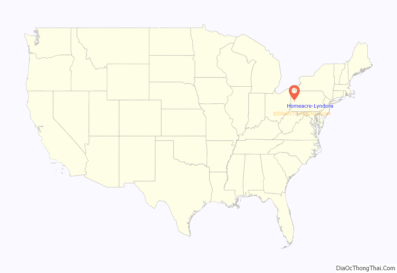
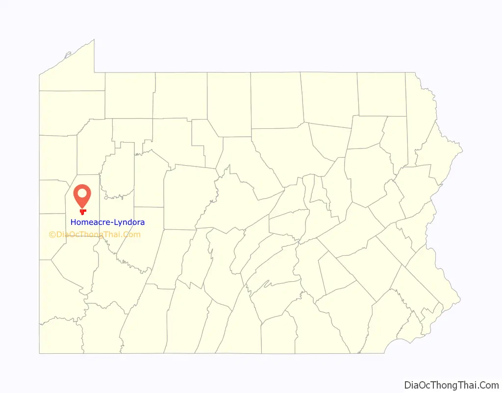
Homeacre-Lyndora location map. Where is Homeacre-Lyndora CDP?
History
Lyndora was linked to Butler, Evans City and Pittsburgh in 1908 by the Pittsburgh, Harmony, Butler and New Castle Railway, an interurban trolley line. The line closed on 15 June 1931, and the trolleys were replaced by buses.
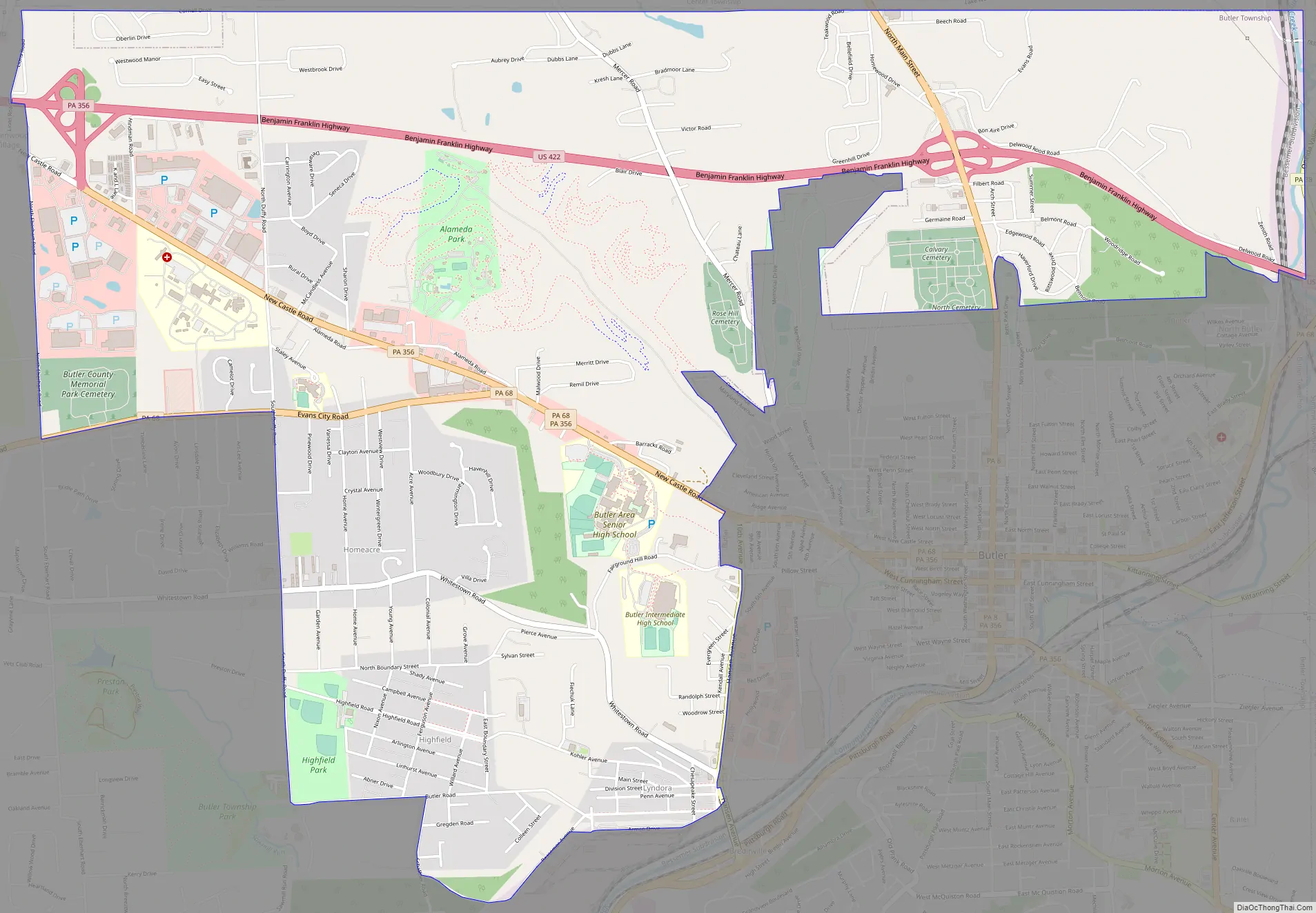
Homeacre-Lyndora Road Map
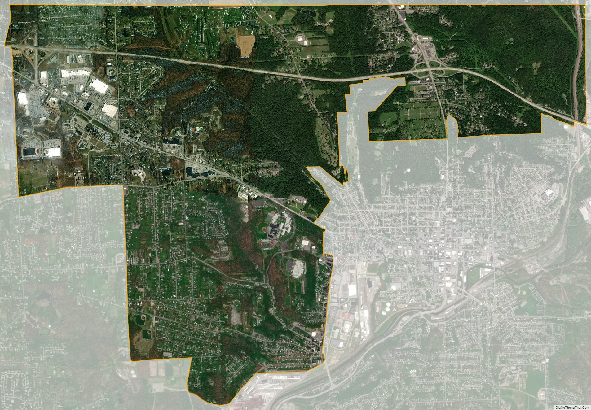
Homeacre-Lyndora city Satellite Map
Geography
Homeacre-Lyndora occupies a broad portion of central and northern Butler Township, north and west of the city of Butler. The U.S. Census Bureau locates the CDP at 40°52′10″N 79°55′14″W / 40.86944°N 79.92056°W / 40.86944; -79.92056 (40.869461, -79.920460), but it consists of several developed areas separated by forested valleys. The Homeacre portion of the CDP is located on high ground west of Butler, while Lyndora is directly adjacent to Butler in the southeast corner of the CDP, in the valley of Connoquenessing Creek. The CDP is bordered by Meridian on the west and by Shanor-Northview in Center Township on the north.
U.S. Route 422, the Benjamin Franklin Highway, passes through the CDP, leading east 22 miles (35 km) to Kittanning and west 25 miles (40 km) to New Castle. Pennsylvania Route 356, New Castle Road, follows the old routing of US-422, leading east into downtown Butler, and joining 422 in the northwestern corner of the CDP. Pennsylvania Route 68 joins PA 356 in the Homeacre part of the CDP, leading east into Butler but traveling west to Connoquenessing, Evans City, and Zelienople. Pennsylvania Route 8 passes through the eastern part of the CDP, interchanging with US 422 and leading south into downtown Butler and north to Harrisville and Franklin.
According to the United States Census Bureau, the CDP has a total area of 6.6 square miles (17.2 km), all land.
See also
Map of Pennsylvania State and its subdivision:- Adams
- Allegheny
- Armstrong
- Beaver
- Bedford
- Berks
- Blair
- Bradford
- Bucks
- Butler
- Cambria
- Cameron
- Carbon
- Centre
- Chester
- Clarion
- Clearfield
- Clinton
- Columbia
- Crawford
- Cumberland
- Dauphin
- Delaware
- Elk
- Erie
- Fayette
- Forest
- Franklin
- Fulton
- Greene
- Huntingdon
- Indiana
- Jefferson
- Juniata
- Lackawanna
- Lancaster
- Lawrence
- Lebanon
- Lehigh
- Luzerne
- Lycoming
- Mc Kean
- Mercer
- Mifflin
- Monroe
- Montgomery
- Montour
- Northampton
- Northumberland
- Perry
- Philadelphia
- Pike
- Potter
- Schuylkill
- Snyder
- Somerset
- Sullivan
- Susquehanna
- Tioga
- Union
- Venango
- Warren
- Washington
- Wayne
- Westmoreland
- Wyoming
- York
- Alabama
- Alaska
- Arizona
- Arkansas
- California
- Colorado
- Connecticut
- Delaware
- District of Columbia
- Florida
- Georgia
- Hawaii
- Idaho
- Illinois
- Indiana
- Iowa
- Kansas
- Kentucky
- Louisiana
- Maine
- Maryland
- Massachusetts
- Michigan
- Minnesota
- Mississippi
- Missouri
- Montana
- Nebraska
- Nevada
- New Hampshire
- New Jersey
- New Mexico
- New York
- North Carolina
- North Dakota
- Ohio
- Oklahoma
- Oregon
- Pennsylvania
- Rhode Island
- South Carolina
- South Dakota
- Tennessee
- Texas
- Utah
- Vermont
- Virginia
- Washington
- West Virginia
- Wisconsin
- Wyoming


