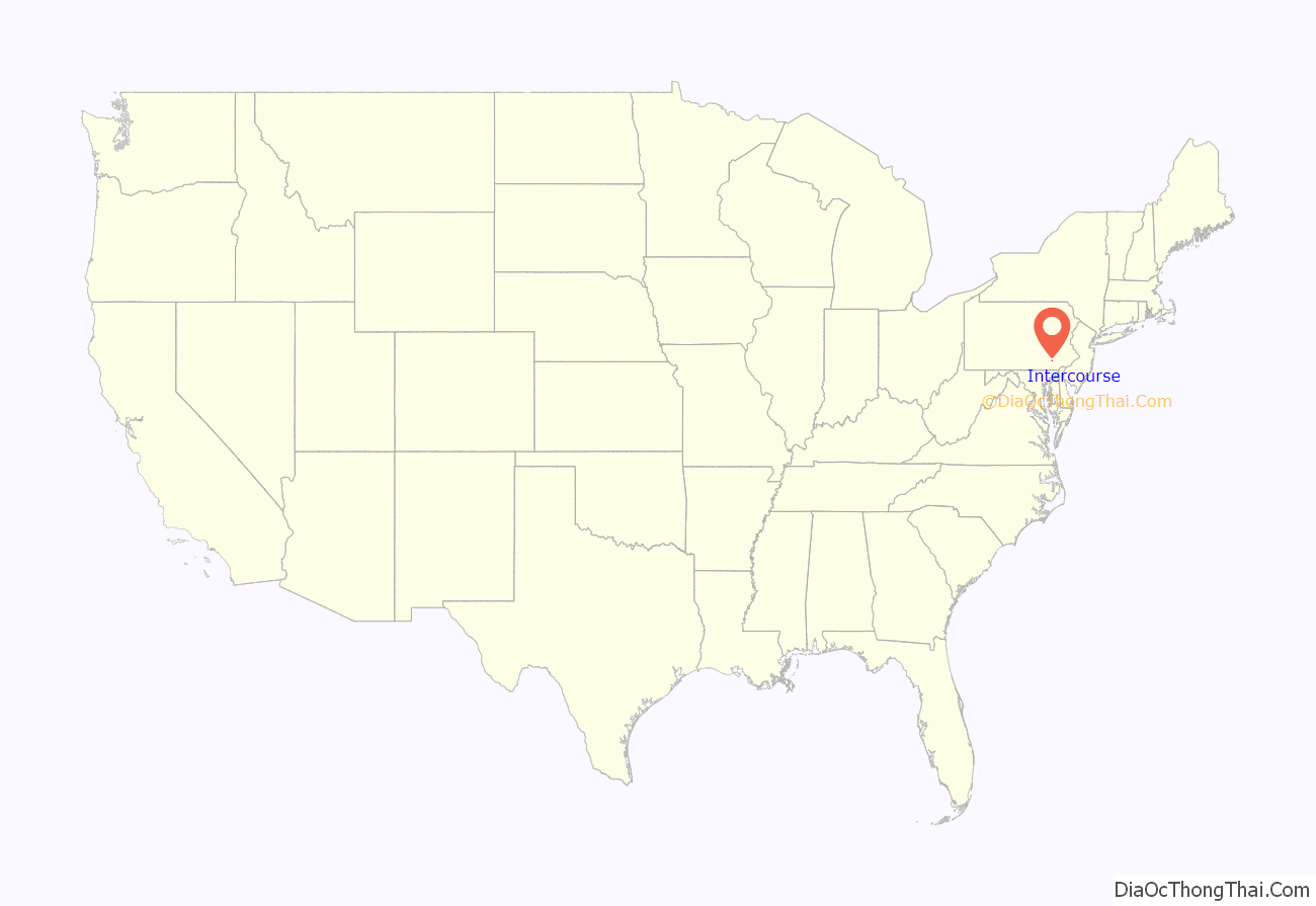
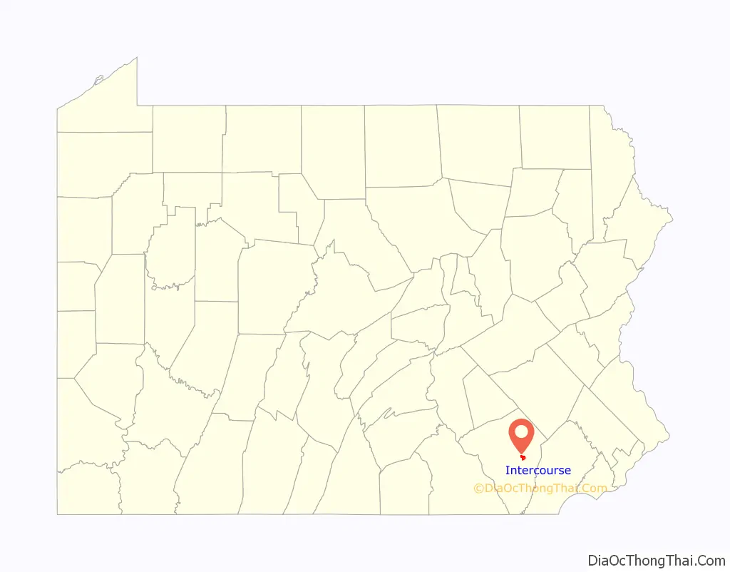
Intercourse is an unincorporated community and census-designated place (CDP) in Leacock Township, Lancaster County, in the U.S. state of Pennsylvania, 10 miles (16 km) east of Lancaster on Pennsylvania Route 340. As of the 2020 census, the population was 1,494, up from 1,274 at the previous census.
Intercourse is a popular site for tourists because of its location in Amish country and its sexually suggestive name. The movie Witness was filmed in Intercourse as well as other parts of the surrounding area, and For Richer or Poorer was set there, though not filmed in Intercourse. Because of the town’s unusual name, the sign posts for the town are frequently targeted by thieves.
| Name: | Intercourse CDP |
|---|---|
| LSAD Code: | 57 |
| LSAD Description: | CDP (suffix) |
| State: | Pennsylvania |
| County: | Lancaster County |
| Elevation: | 430 ft (130 m) |
| Total Area: | 2.11 sq mi (5.46 km²) |
| Land Area: | 2.11 sq mi (5.46 km²) |
| Water Area: | 0.00 sq mi (0.00 km²) |
| Total Population: | 1,494 |
| Population Density: | 708.73/sq mi (273.59/km²) |
| Area code: | 717 |
| FIPS code: | 4237016 |
| GNISfeature ID: | 1177822 |
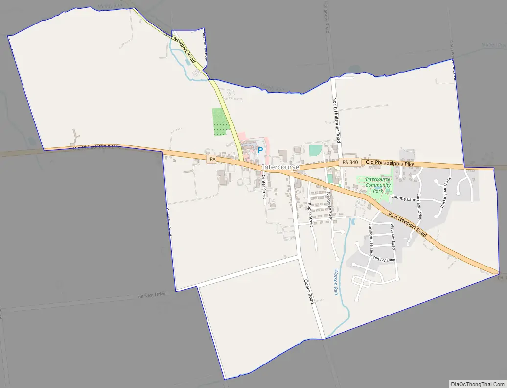
Online Interactive Map
Click on ![]() to view map in "full screen" mode.
to view map in "full screen" mode.
Intercourse location map. Where is Intercourse CDP?
History
Intercourse was founded in 1754. The community was originally named “Cross Keys”, after a local tavern. Intercourse became the name in 1814. The village website gives several theories for the origins of the name:
Another theory is that it is derived from a sign at an old racecourse on the edge of town which said “Enter course”.
Intercourse Road Map
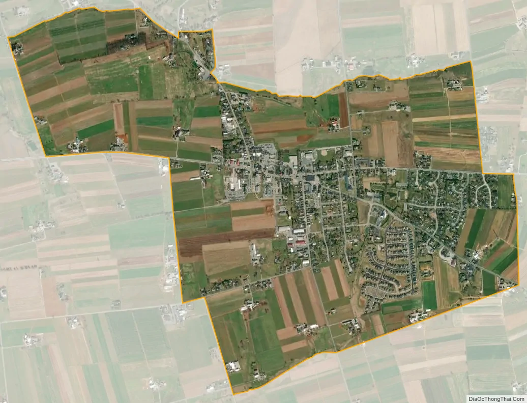
Intercourse city Satellite Map
Geography
Intercourse is located in east-central Lancaster County, in the center of Leacock Township. Pennsylvania Route 340 (Old Philadelphia Pike) passes through the center of town, leading west 10 miles (16 km) to Lancaster, the county seat, and east 22 miles (35 km) to Downingtown. Pennsylvania Route 772 (East and West Newport Road) joins PA 340 for two blocks in the center of town; it leads northwest 6 miles (10 km) to Leola and southeast 6 miles (10 km) to Gap.
According to the U.S. Census Bureau, the Intercourse CDP has a total area of 2.1 square miles (5.5 km), of which 0.6 acres (2,396 m), or 0.04%, are water. Muddy Run, a westward-flowing tributary of Conestoga River, forms the northern edge of the community.
Intercourse has a hot-summer humid continental climate (Dfa) like the remainder of Lancaster County. Average monthly temperatures range from 30.1 °F (−1.1 °C) in January to 74.7 °F (23.7 °C) in July. The local hardiness zone is 6b.
See also
Map of Pennsylvania State and its subdivision:- Adams
- Allegheny
- Armstrong
- Beaver
- Bedford
- Berks
- Blair
- Bradford
- Bucks
- Butler
- Cambria
- Cameron
- Carbon
- Centre
- Chester
- Clarion
- Clearfield
- Clinton
- Columbia
- Crawford
- Cumberland
- Dauphin
- Delaware
- Elk
- Erie
- Fayette
- Forest
- Franklin
- Fulton
- Greene
- Huntingdon
- Indiana
- Jefferson
- Juniata
- Lackawanna
- Lancaster
- Lawrence
- Lebanon
- Lehigh
- Luzerne
- Lycoming
- Mc Kean
- Mercer
- Mifflin
- Monroe
- Montgomery
- Montour
- Northampton
- Northumberland
- Perry
- Philadelphia
- Pike
- Potter
- Schuylkill
- Snyder
- Somerset
- Sullivan
- Susquehanna
- Tioga
- Union
- Venango
- Warren
- Washington
- Wayne
- Westmoreland
- Wyoming
- York
- Alabama
- Alaska
- Arizona
- Arkansas
- California
- Colorado
- Connecticut
- Delaware
- District of Columbia
- Florida
- Georgia
- Hawaii
- Idaho
- Illinois
- Indiana
- Iowa
- Kansas
- Kentucky
- Louisiana
- Maine
- Maryland
- Massachusetts
- Michigan
- Minnesota
- Mississippi
- Missouri
- Montana
- Nebraska
- Nevada
- New Hampshire
- New Jersey
- New Mexico
- New York
- North Carolina
- North Dakota
- Ohio
- Oklahoma
- Oregon
- Pennsylvania
- Rhode Island
- South Carolina
- South Dakota
- Tennessee
- Texas
- Utah
- Vermont
- Virginia
- Washington
- West Virginia
- Wisconsin
- Wyoming


