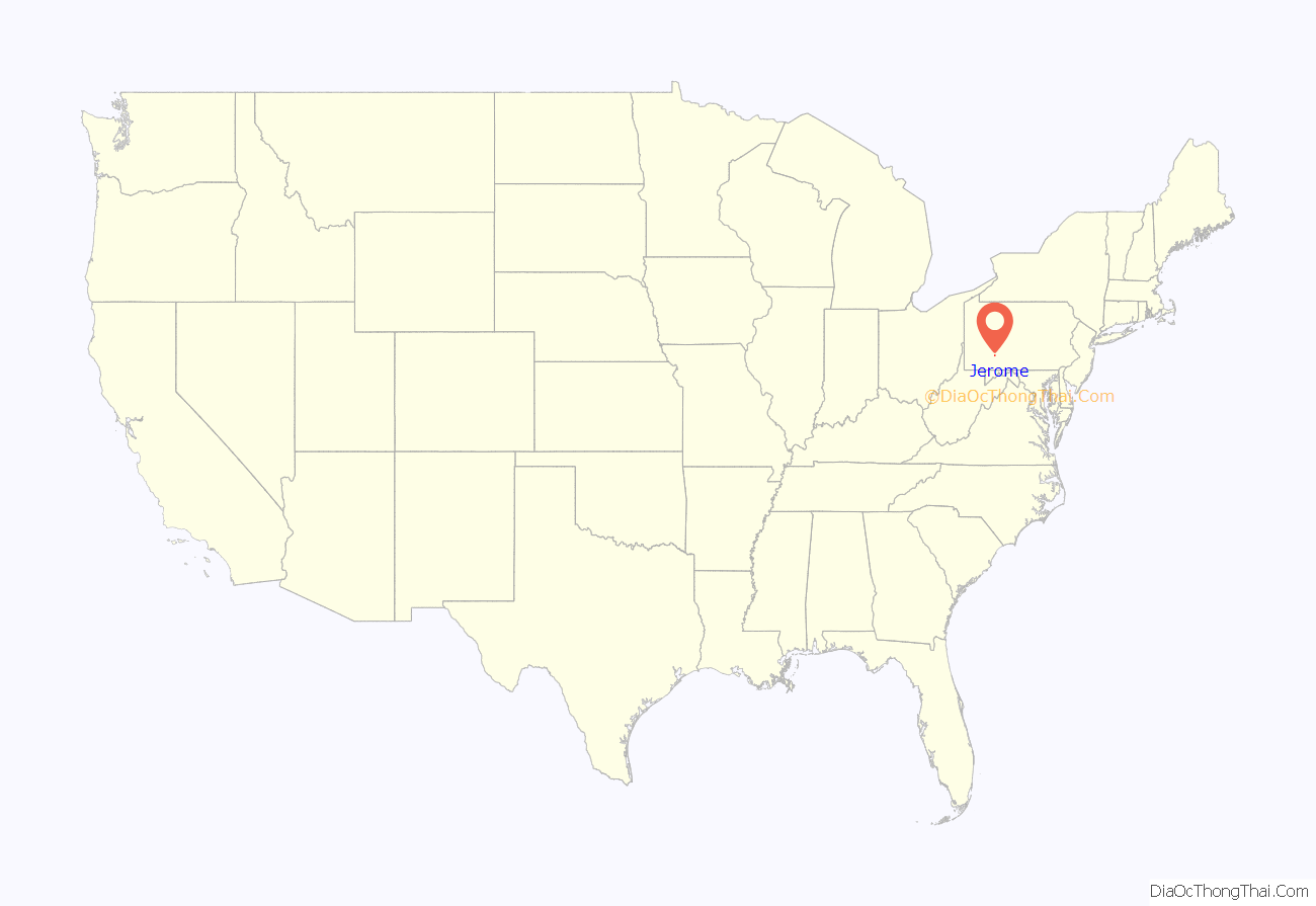
Jerome is a census-designated place (CDP) in Somerset County, Pennsylvania, United States. The population was 779 as of 2010. It is part of the Johnstown, Pennsylvania, Metropolitan Statistical Area. Jerome is part of the municipality of Conemaugh Township, Somerset County, Pennsylvania, as are the nearby towns of Davidsville, Thomas Mills, Tire Hill, Seanor, Hiyasota and part of Holsopple.
| Name: | Jerome CDP |
|---|---|
| LSAD Code: | 57 |
| LSAD Description: | CDP (suffix) |
| State: | Pennsylvania |
| County: | Somerset County |
| Total Area: | 2.60 sq mi (6.74 km²) |
| Land Area: | 2.60 sq mi (6.74 km²) |
| Water Area: | 0.00 sq mi (0.00 km²) |
| Total Population: | 942 |
| Population Density: | 361.89/sq mi (139.74/km²) |
| ZIP code: | 15937 |
| Area code: | 814 |
| FIPS code: | 4238104 |
Online Interactive Map
Click on ![]() to view map in "full screen" mode.
to view map in "full screen" mode.
Jerome location map. Where is Jerome CDP?
History
Jerome was built in 1904 as a company town for what became the Hillman Coal and Coke Company Company of Pittsburgh, and named for Jerome Coulson, the son of a coal company official. The town filled mostly with immigrants from Croatia, Poland, Hungary, Russia and Italy—particularly Italians from the Alpine province of Trentino and the town of San Lorenzo in Banale (part of the Dolomiti di Brenta area)[7][8]—in addition to local Scots-Irish, Welsh and German stock. Jerome was the largest single coal mine in the Cambria-Somerset district.
Jerome’s wood frame houses were primarily of two designs—two-story semi-detached houses and smaller single-family cottages. Most of these initial dwellings still stand today. These houses, especially in the period before 1970, typically were surrounded by large vegetable gardens, fruit trees, and grape arbors. Homemade wine was a local specialty.
At its economic peak, Jerome boasted a 300-seat movie theatre, a bank, a hotel, an auto dealership, several dry goods and grocery stores, several taverns, an electrical appliance store, a YMCA, and a bowling alley. A local tavern maintained a popular bocce court. The mine employed over 1000 men. Residents from that period claim Jerome’s population stood at about 3,000 at its peak, although this information is yet to be documented. However, Jerome’s population certainly was sufficient to justify the capital investment to tie the town into the interurban transit system. Electric streetcar service from Jerome to the nearby city of Johnstown was proposed as early as 1908. In 1921, the project was financed through a public bond offering, construction was completed and service began. The streetcar tram left from the Jerome terminus every two hours for the 60-minute trip that ended on downtown Johnstown’s Main Street. Property right-of-way was obtained to extend this tram service to the south to Boswell, Jenners, Somerset, and Rockwood, although track construction never commenced. Service to Johnstown ended in 1933. Separately, a branch line of the Baltimore & Ohio Railroad served Jerome and its coal mine, connecting to the B&O trunk line at Hollsopple.
An underground explosion killed two miners instantly and two later from burns received at the Jerome mine on July 29, 1932, The single largest accident in the mine’s history uncovered in research to date. The coal mine closed in the 1954. Jerome rapidly became a bedroom community. The town retained much of its close-knit ethnic character and its spirit well into the 1990s, however. As an example, the Jerome Volunteer Fire Department was founded in 1952 with Steve Gironda as its first president. The Volunteer Fire Department remains today as an anchor of community activity. In 1955, the Dorfman and Hoffman Company established a garment factory in the former Hillman company store building, bringing 200 needed jobs to Jerome. The factory continued operation until 1964. A lumber mill operated out of former mining operations buildings in the 1970s. A wind-whipped fire destroyed the lumber mill in 1975, and the remaining mining buildings were demolished subsequently.
National Football League quarterback Jeff Hostetler (career 1985-1997) grew up on a farm just outside Jerome. Hostetler led the New York Giants to their 20-19 win over the Buffalo Bills in Super Bowl XXV (see 1990 New York Giants season). Jerome native Brian Ferrari qualified for the 1992 U.S. Olympic Marathon Trials. Ferrari also holds two NCAA Division II championships in 10,000 meters and one national cross-country championship. In 1998, Jerome natives Dick Trachok and Tommy Kalmanir each were inducted into the University of Nevada, Reno’s football Team of Century. Kalminer played in Nevada’s backfield, 1946–48, and later played for the Los Angeles Rams and Baltimore Colts. Trachock was a top running back at Nevada and later served as Nevada’s head football coach (1959–1968) and athletic director (1970–1986). Jerome’s Tony Venzon (1915–1971) was a baseball umpire for the National League 1957-1971, including 1959, 1962 and 1969 All-Star Games and 1963 and 1965 World Series. Jazz clarinetist, band leader and composer Ted Lach (1914–1968) was a native of Jerome.
Jerome Road Map
Jerome city Satellite Map
Geography
Jerome is located at 40°12′36″N 78°59′8″W / 40.21000°N 78.98556°W / 40.21000; -78.98556 (40.210047, -78.985652).
According to the United States Census Bureau, the CDP has a total area of 2.6 square miles (6.7 km), all land.
Elevation: 1796 feet/547 meters above sea level.
See also
Map of Pennsylvania State and its subdivision:- Adams
- Allegheny
- Armstrong
- Beaver
- Bedford
- Berks
- Blair
- Bradford
- Bucks
- Butler
- Cambria
- Cameron
- Carbon
- Centre
- Chester
- Clarion
- Clearfield
- Clinton
- Columbia
- Crawford
- Cumberland
- Dauphin
- Delaware
- Elk
- Erie
- Fayette
- Forest
- Franklin
- Fulton
- Greene
- Huntingdon
- Indiana
- Jefferson
- Juniata
- Lackawanna
- Lancaster
- Lawrence
- Lebanon
- Lehigh
- Luzerne
- Lycoming
- Mc Kean
- Mercer
- Mifflin
- Monroe
- Montgomery
- Montour
- Northampton
- Northumberland
- Perry
- Philadelphia
- Pike
- Potter
- Schuylkill
- Snyder
- Somerset
- Sullivan
- Susquehanna
- Tioga
- Union
- Venango
- Warren
- Washington
- Wayne
- Westmoreland
- Wyoming
- York
- Alabama
- Alaska
- Arizona
- Arkansas
- California
- Colorado
- Connecticut
- Delaware
- District of Columbia
- Florida
- Georgia
- Hawaii
- Idaho
- Illinois
- Indiana
- Iowa
- Kansas
- Kentucky
- Louisiana
- Maine
- Maryland
- Massachusetts
- Michigan
- Minnesota
- Mississippi
- Missouri
- Montana
- Nebraska
- Nevada
- New Hampshire
- New Jersey
- New Mexico
- New York
- North Carolina
- North Dakota
- Ohio
- Oklahoma
- Oregon
- Pennsylvania
- Rhode Island
- South Carolina
- South Dakota
- Tennessee
- Texas
- Utah
- Vermont
- Virginia
- Washington
- West Virginia
- Wisconsin
- Wyoming
