Kane is a borough in McKean County in the U.S. state of Pennsylvania, 94 miles (151 km) east by southeast of Erie. It was founded in 1864 by Civil War General Thomas L. Kane of the famous Bucktail Regiment at an elevated site 2210 feet (674 m) above sea level. In the early part of the 20th century, Kane had large glass works, bottle works, lumber mills, and manufactures of brush handles, saws, cutlery, screen doors and windows. The population peaked in the 1920s but has since declined to 3,612 people in 2020.
It is the home of the Kane Area School District, and they are known as the Kane Wolves.
Famous residents of Kane include Chuck Daly, two-time NBA Champion and 1992 Olympic gold medalist coach; Amy Rudolph, an Olympic distance runner and qualifier in the 1996 and 2000 Summer Games; composer Maryanne Amacher; and Evan O’Neill Kane, a surgeon known for removing his own appendix and repairing his own hernia under local anesthetic.
| Name: | Kane borough |
|---|---|
| LSAD Code: | 21 |
| LSAD Description: | borough (suffix) |
| State: | Pennsylvania |
| County: | McKean County |
| Incorporated: | 1887 |
| Elevation: | 2,210 ft (674 m) |
| Total Area: | 1.57 sq mi (4.06 km²) |
| Land Area: | 1.56 sq mi (4.05 km²) |
| Water Area: | 0.00 sq mi (0.00 km²) |
| Total Population: | 3,630 |
| Population Density: | 2,319.49/sq mi (895.40/km²) |
| Area code: | 814 |
| FIPS code: | 4238688 |
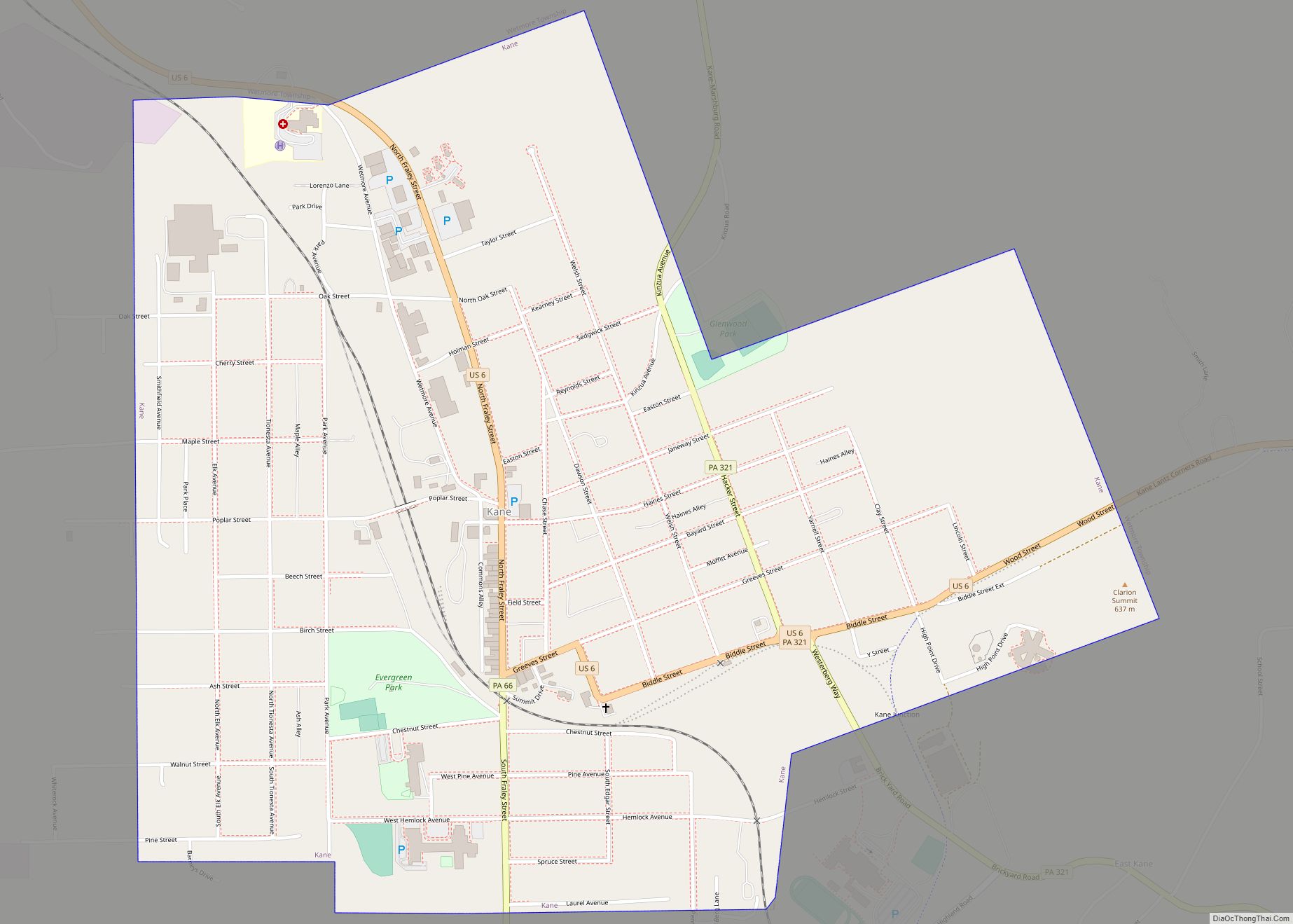
Online Interactive Map
Click on ![]() to view map in "full screen" mode.
to view map in "full screen" mode.
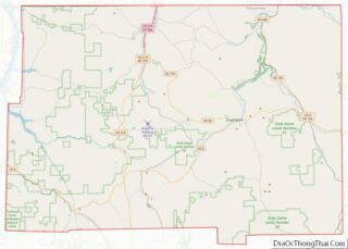
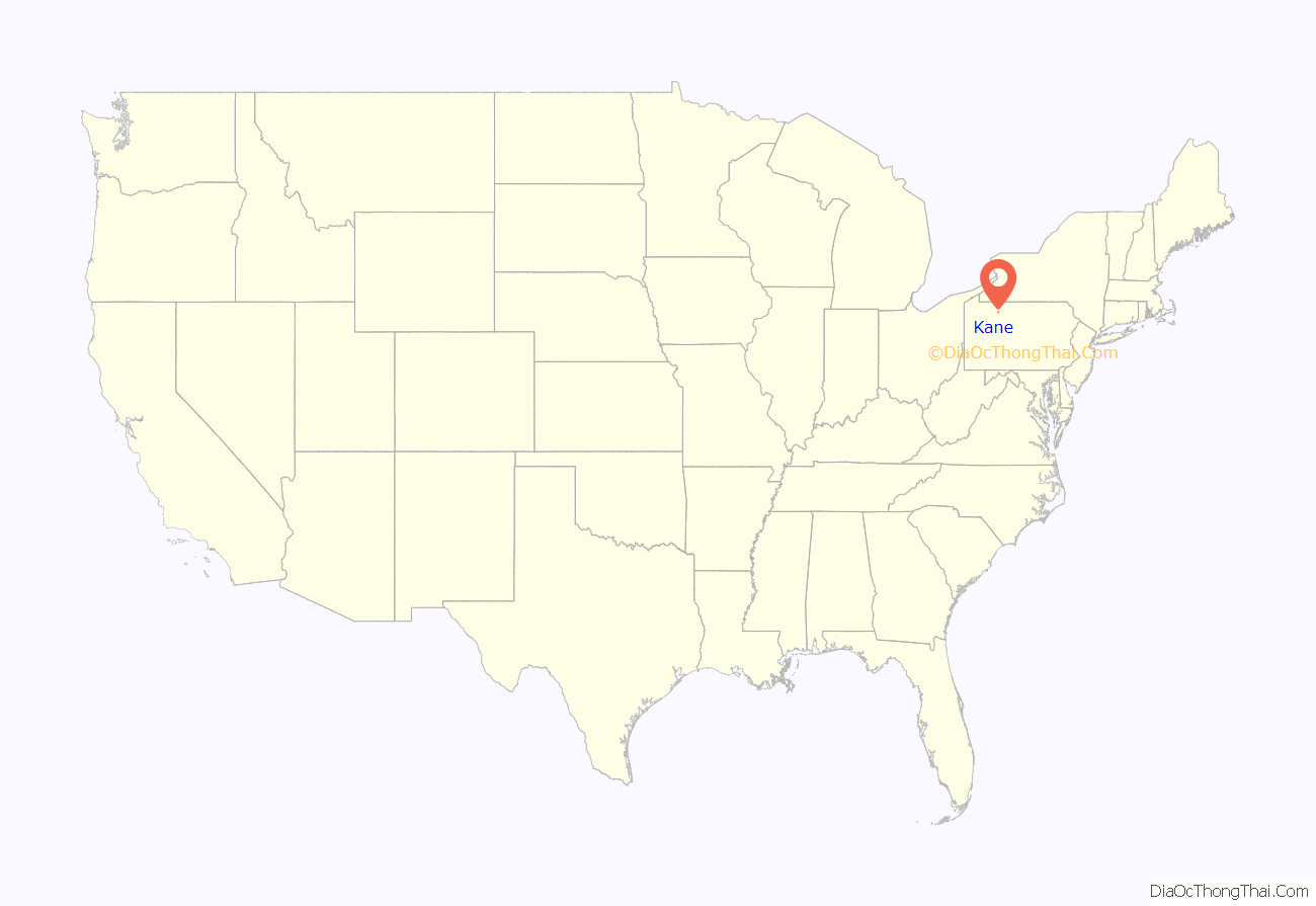
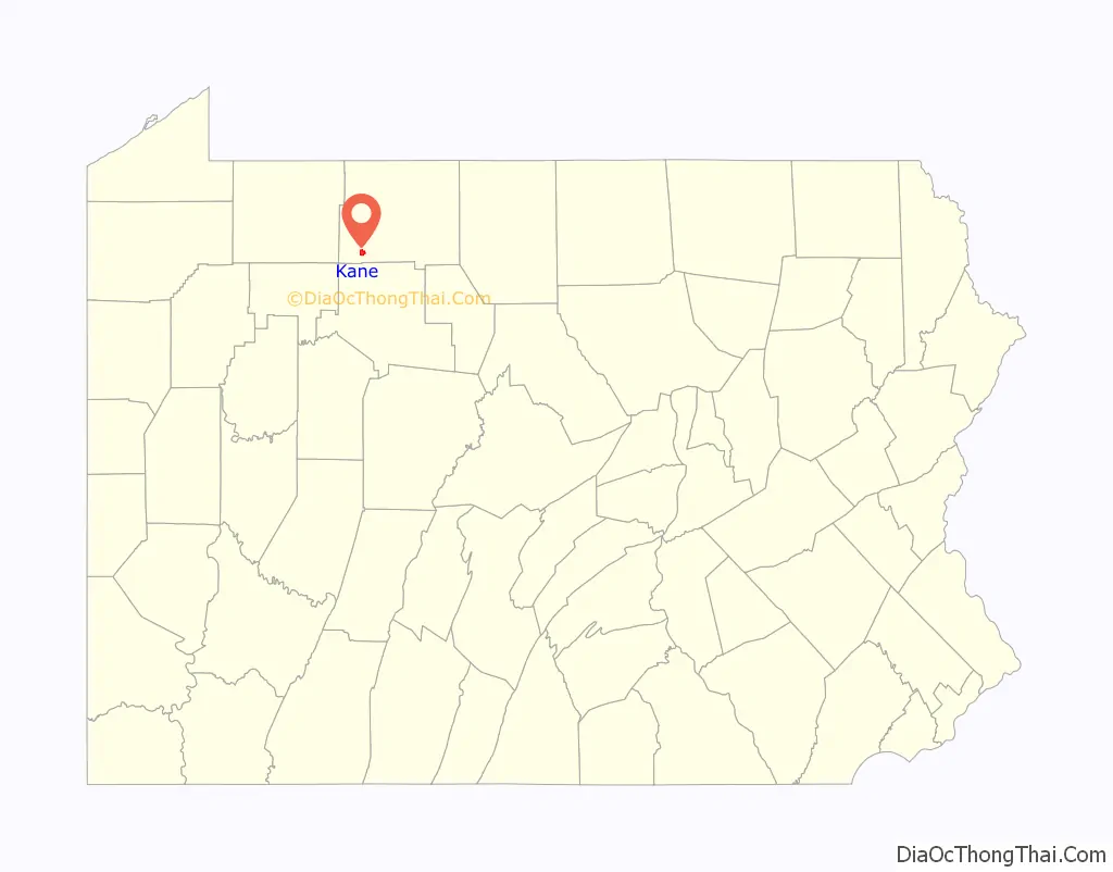
Kane location map. Where is Kane borough?
History
Kane was founded by Brigadier General Thomas L. Kane and his wife Elizabeth Denniston Wood Kane, M.D. Thomas L. Kane was the second son of Judge John Kintzing Kane of Philadelphia, a prominent associate of Presidents Jackson and Polk. In 1846, then Colonel Kane aided the Mormons on their flight west from Nauvoo, Illinois, to the Great Salt Lake; he arranged for them to winter on Indian lands near Council Bluffs, Iowa. In 1858, Colonel Kane prevented the “Utah War” between 2500 US Army soldiers, under A.S. Johnston, and the Mormons, under Kane’s personal friend, Brigham Young.
Thomas L. Kane was offered the Utah Territorial Governorship, but insisted that the position go to Brigham Young. Although never a religious convert to the Latter-day Saints, General Kane remained a personal, political, and legal adviser to Brigham Young until Young’s death. General Kane’s older brother was Elisha Kent Kane, America’s most prominent Arctic explorer before the Civil War. The General’s wife and three of their four children became physicians in Kane. Their oldest son, Evan O’Neill Kane, M.D., demonstrated the efficacy of local anesthesia on two occasions by performing surgery on himself—once repairing an inguinal hernia, and once removing his own appendix.
The Kane mansion, Anoatok, Kane Armory, Thomas L. Kane Memorial Chapel, and the New Thomson House are listed on the National Register of Historic Places.
Due to its elevation, Kane had many summer vacationers in the 1950s and 1960s who stayed there for various periods during the late summer and fall months to avoid the effects of hay fever and allergies present at lower elevations in the days before air conditioning was prevalent.
Kane Tornado of 1985
On May 31, 1985, a tornado destroyed many homes in Kane and neighboring East Kane. The F4 tornado passed through the town at approximately 8:15 PM. There were 3 deaths as a result of this tornado. This is the worst natural disaster in Kane’s history.
Tanker accident
On August 29, 2012, hundreds of residents of Kane were evacuated from their homes after a tanker truck carrying 8,400 gallons of butane overturned at the main intersection of town. The tanker truck was trying to negotiate a left-hand turn at Kane’s only stop light from North Fraley Street (Route 6) to Greeves St. (Route 6) at roughly 4:30 a.m. The truck carrying the highly flammable gas rolled onto its side and came to a rest just feet from the New Thomson House. The Kane Area School District, on its second day of school, had to cancel classes and use the Kane Area High School as a shelter for the evacuated citizens. It was reported that if the gas was ignited, the blast radius would cover at least a half mile, essentially incinerating the business district of the town. At 4:45 p.m., PennDOT opened the road and citizens were permitted to return to their homes.
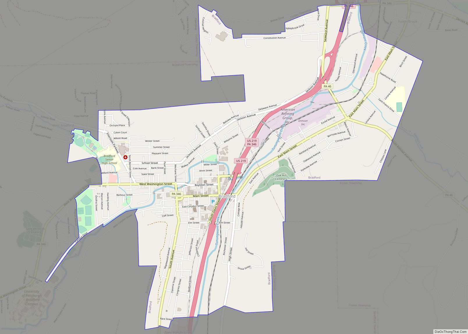
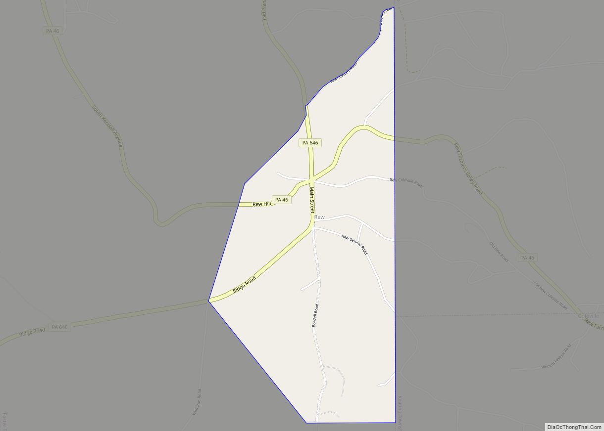
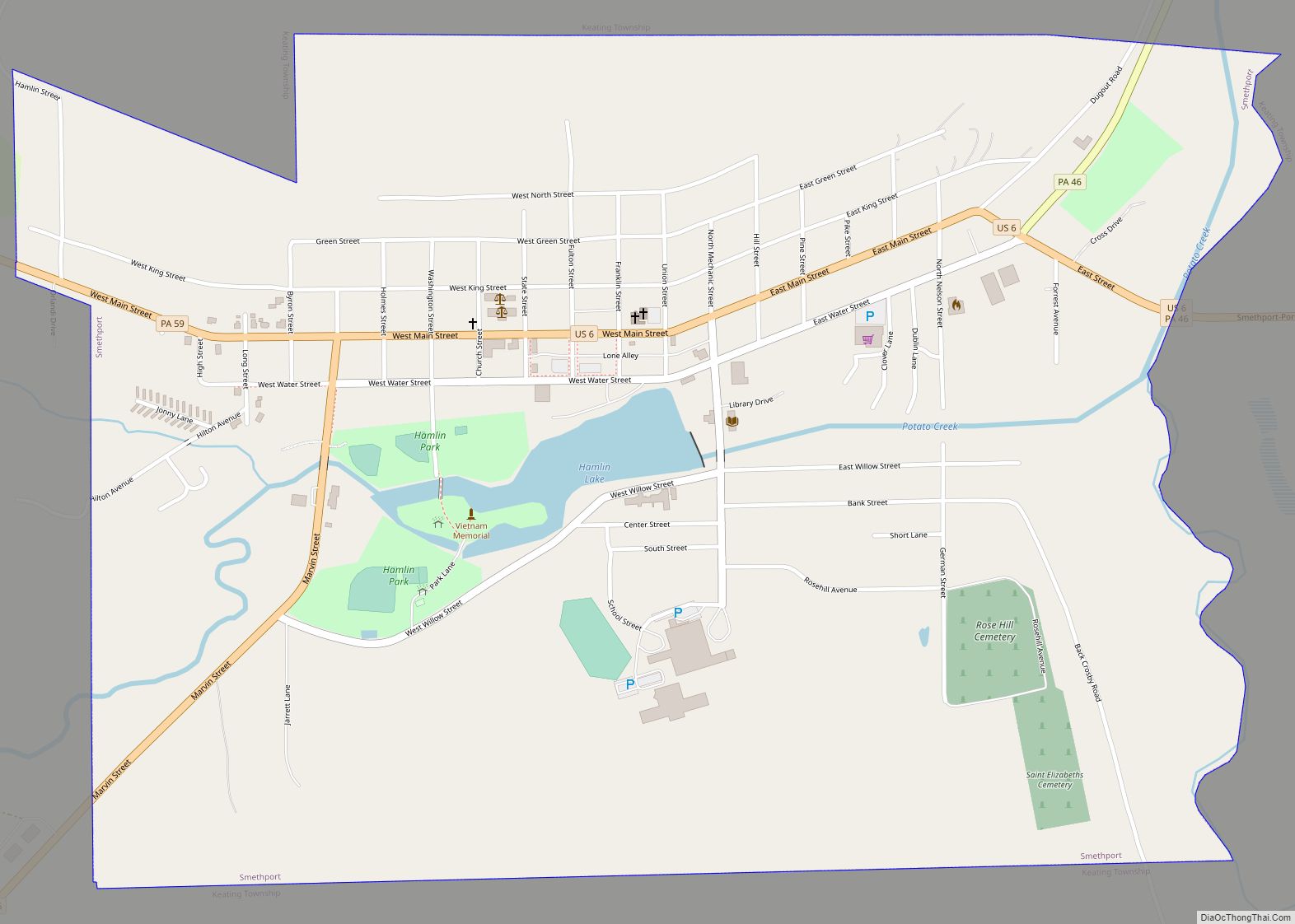
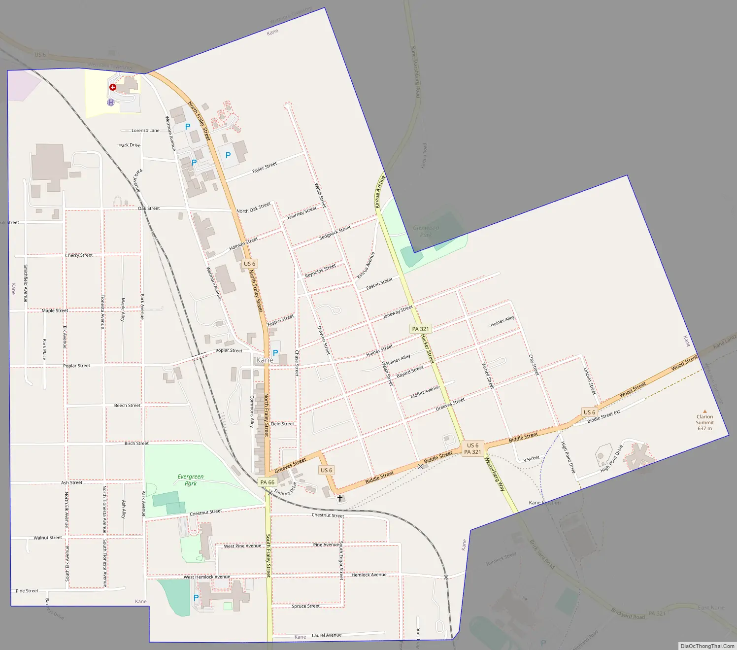
Kane Road Map
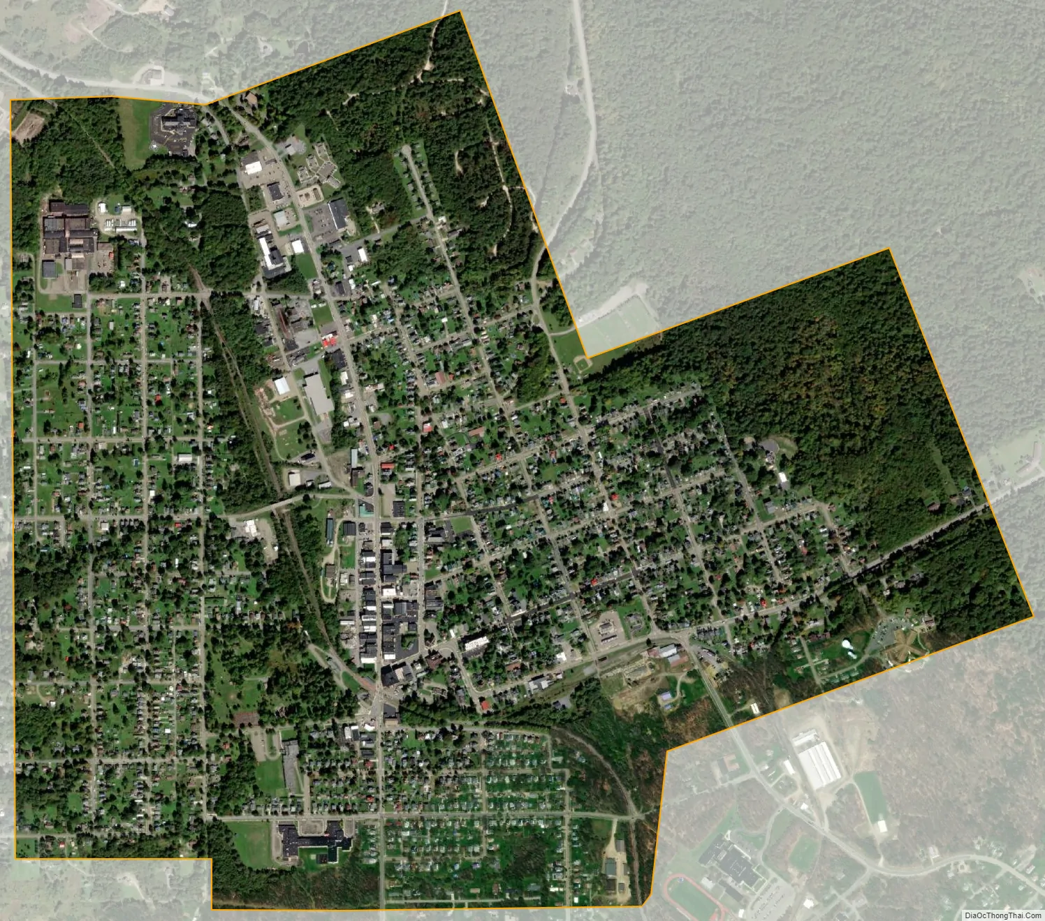
Kane city Satellite Map
Geography
Kane is located at 41°39′42″N 78°48′37″W / 41.66167°N 78.81028°W / 41.66167; -78.81028 (41.661712, -78.810328).
According to the United States Census Bureau, the borough has a total area of 1.6 square miles (4.1 km), all land.
Aerial looking north
The above photo is an aerial view of Kane (looking north) taken on May 4, 2008. Below is an aerial shot of Kane looking northwest. Click photo for a larger view.
Aerial looking northwest
See also
Map of Pennsylvania State and its subdivision:- Adams
- Allegheny
- Armstrong
- Beaver
- Bedford
- Berks
- Blair
- Bradford
- Bucks
- Butler
- Cambria
- Cameron
- Carbon
- Centre
- Chester
- Clarion
- Clearfield
- Clinton
- Columbia
- Crawford
- Cumberland
- Dauphin
- Delaware
- Elk
- Erie
- Fayette
- Forest
- Franklin
- Fulton
- Greene
- Huntingdon
- Indiana
- Jefferson
- Juniata
- Lackawanna
- Lancaster
- Lawrence
- Lebanon
- Lehigh
- Luzerne
- Lycoming
- Mc Kean
- Mercer
- Mifflin
- Monroe
- Montgomery
- Montour
- Northampton
- Northumberland
- Perry
- Philadelphia
- Pike
- Potter
- Schuylkill
- Snyder
- Somerset
- Sullivan
- Susquehanna
- Tioga
- Union
- Venango
- Warren
- Washington
- Wayne
- Westmoreland
- Wyoming
- York
- Alabama
- Alaska
- Arizona
- Arkansas
- California
- Colorado
- Connecticut
- Delaware
- District of Columbia
- Florida
- Georgia
- Hawaii
- Idaho
- Illinois
- Indiana
- Iowa
- Kansas
- Kentucky
- Louisiana
- Maine
- Maryland
- Massachusetts
- Michigan
- Minnesota
- Mississippi
- Missouri
- Montana
- Nebraska
- Nevada
- New Hampshire
- New Jersey
- New Mexico
- New York
- North Carolina
- North Dakota
- Ohio
- Oklahoma
- Oregon
- Pennsylvania
- Rhode Island
- South Carolina
- South Dakota
- Tennessee
- Texas
- Utah
- Vermont
- Virginia
- Washington
- West Virginia
- Wisconsin
- Wyoming