Landisville is an unincorporated community and census-designated place (CDP) in East Hempfield Township, Lancaster County, Pennsylvania, United States. As of the 2010 census the population was 1,893. The community was once part of the Salunga-Landisville CDP, before splitting into two separate CDPs for the 2010 census, the other being Salunga.
| Name: | Landisville CDP |
|---|---|
| LSAD Code: | 57 |
| LSAD Description: | CDP (suffix) |
| State: | Pennsylvania |
| County: | Lancaster County |
| Elevation: | 410 ft (120 m) |
| Total Area: | 1.28 sq mi (3.32 km²) |
| Land Area: | 1.28 sq mi (3.31 km²) |
| Water Area: | 0.00 sq mi (0.01 km²) |
| Total Population: | 2,196 |
| Population Density: | 1,721.00/sq mi (664.41/km²) |
| ZIP code: | 17538 |
| Area code: | 717 and 223 |
| FIPS code: | 4241304 |
| GNISfeature ID: | 1178856 |
Online Interactive Map
Click on ![]() to view map in "full screen" mode.
to view map in "full screen" mode.
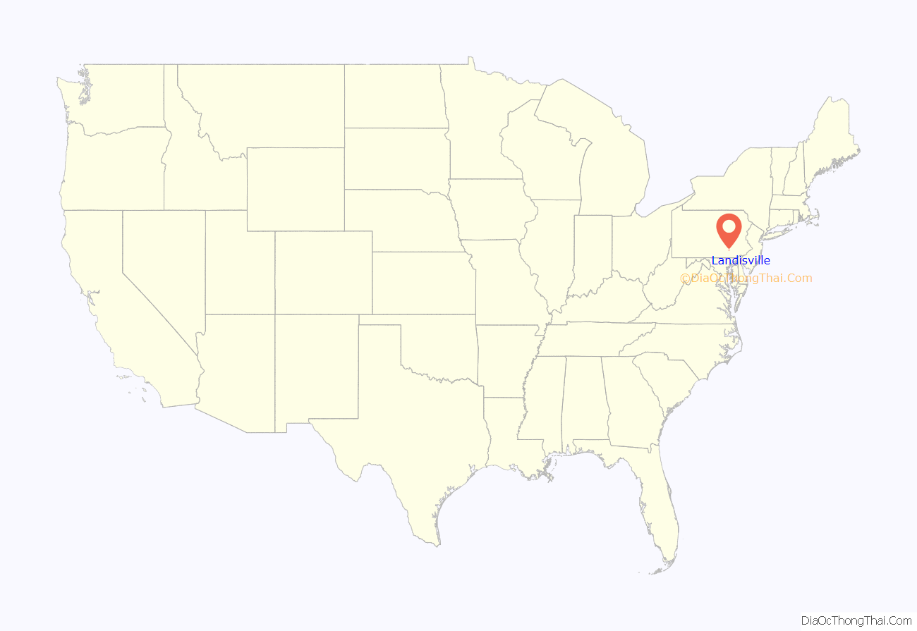
Landisville location map. Where is Landisville CDP?
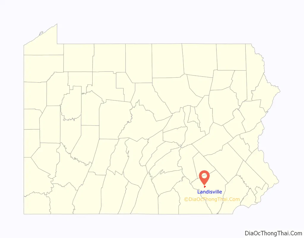
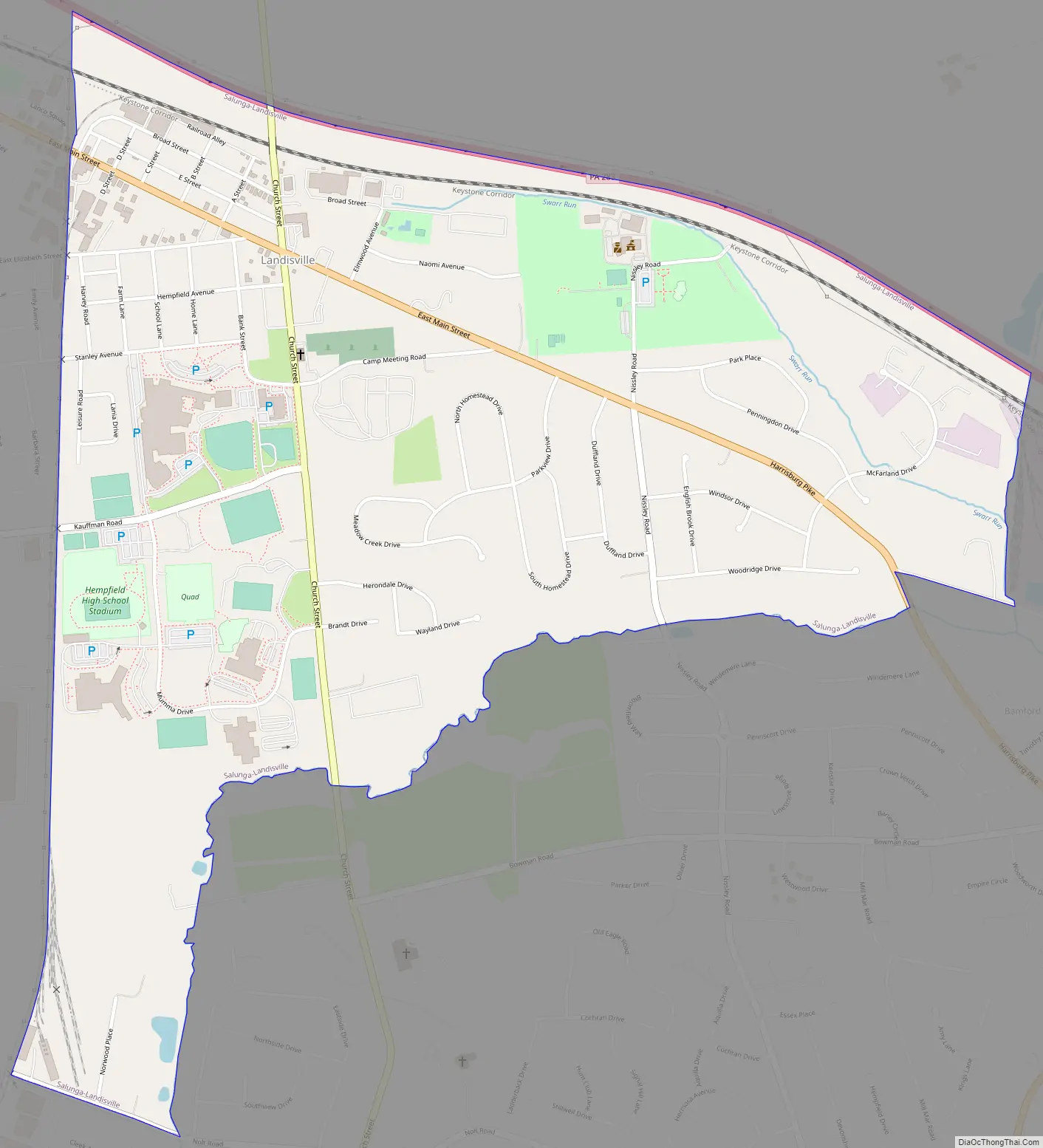
Landisville Road Map
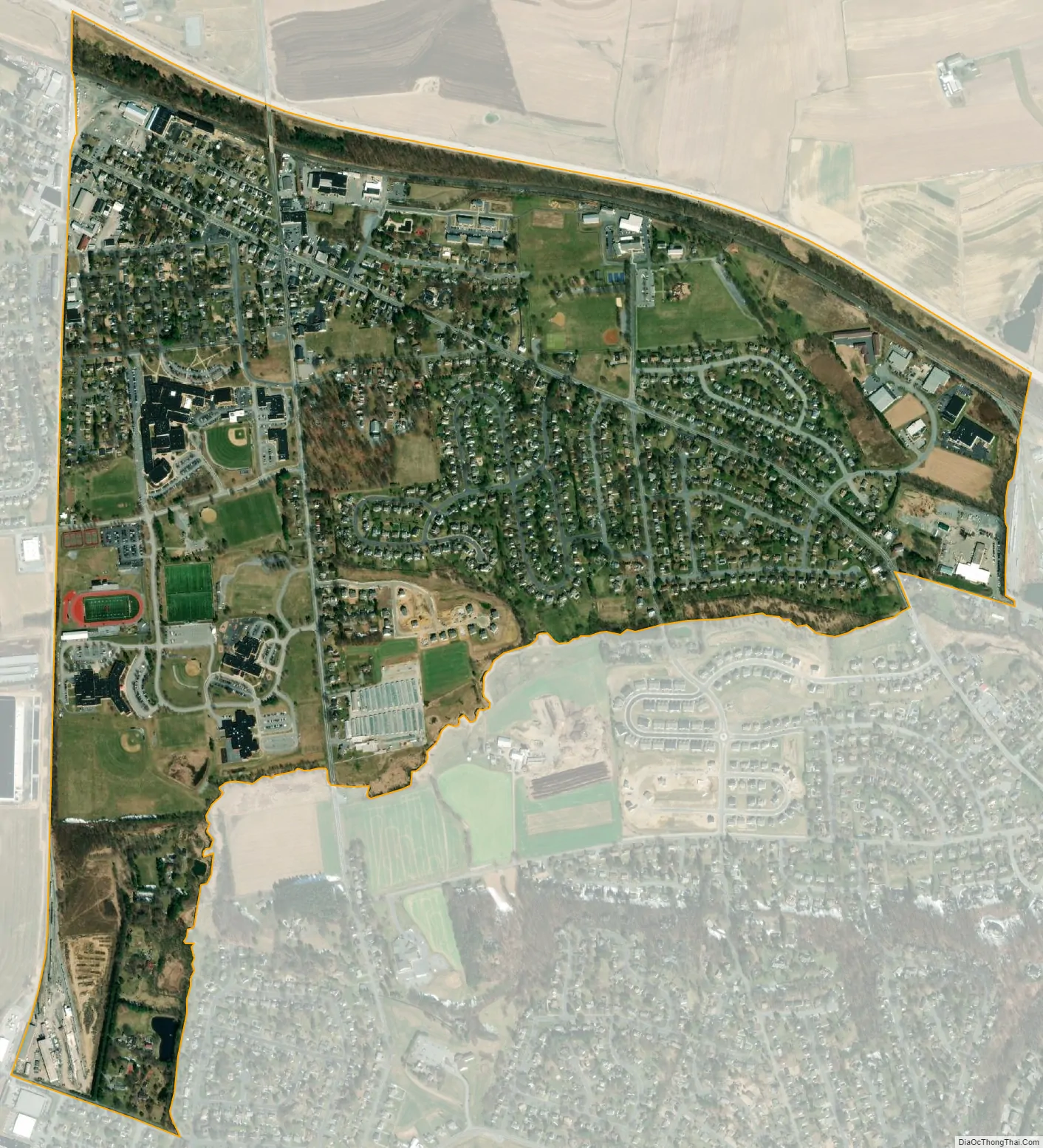
Landisville city Satellite Map
Geography
Landisville is located along Old Harrisburg Pike, 7 miles (11 km) northwest of Lancaster, the county seat. Pennsylvania Route 283, a four-lane expressway, forms the northern edge of the community, with access from Pennsylvania Route 722, 2 miles (3 km) southeast of town, and from Spooky Nook Road, 1.5 miles (2.4 km) northwest of town, on the northern edge of Salunga. PA 283 leads southeast to Lancaster and northwest 32 miles (51 km) to Harrisburg, the state capital.
According to the U.S. Census Bureau, the Landisville CDP has a total area of 1.3 square miles (3.3 km), of which 0.004 square miles (0.01 km), or 0.31%, are water. The community drains east to Swarr Run, a southeast-flowing tributary of Little Conestoga Creek and part of the Conestoga River watershed flowing to the Susquehanna River.
Climate
See also
Map of Pennsylvania State and its subdivision:- Adams
- Allegheny
- Armstrong
- Beaver
- Bedford
- Berks
- Blair
- Bradford
- Bucks
- Butler
- Cambria
- Cameron
- Carbon
- Centre
- Chester
- Clarion
- Clearfield
- Clinton
- Columbia
- Crawford
- Cumberland
- Dauphin
- Delaware
- Elk
- Erie
- Fayette
- Forest
- Franklin
- Fulton
- Greene
- Huntingdon
- Indiana
- Jefferson
- Juniata
- Lackawanna
- Lancaster
- Lawrence
- Lebanon
- Lehigh
- Luzerne
- Lycoming
- Mc Kean
- Mercer
- Mifflin
- Monroe
- Montgomery
- Montour
- Northampton
- Northumberland
- Perry
- Philadelphia
- Pike
- Potter
- Schuylkill
- Snyder
- Somerset
- Sullivan
- Susquehanna
- Tioga
- Union
- Venango
- Warren
- Washington
- Wayne
- Westmoreland
- Wyoming
- York
- Alabama
- Alaska
- Arizona
- Arkansas
- California
- Colorado
- Connecticut
- Delaware
- District of Columbia
- Florida
- Georgia
- Hawaii
- Idaho
- Illinois
- Indiana
- Iowa
- Kansas
- Kentucky
- Louisiana
- Maine
- Maryland
- Massachusetts
- Michigan
- Minnesota
- Mississippi
- Missouri
- Montana
- Nebraska
- Nevada
- New Hampshire
- New Jersey
- New Mexico
- New York
- North Carolina
- North Dakota
- Ohio
- Oklahoma
- Oregon
- Pennsylvania
- Rhode Island
- South Carolina
- South Dakota
- Tennessee
- Texas
- Utah
- Vermont
- Virginia
- Washington
- West Virginia
- Wisconsin
- Wyoming


