Mill Creek is a borough in Huntingdon County, Pennsylvania, United States. The population was 328 at the 2010 census.
| Name: | Mill Creek borough |
|---|---|
| LSAD Code: | 21 |
| LSAD Description: | borough (suffix) |
| State: | Pennsylvania |
| County: | Huntingdon County |
| Incorporated: | 1905 |
| Total Area: | 0.33 sq mi (0.84 km²) |
| Land Area: | 0.30 sq mi (0.78 km²) |
| Water Area: | 0.03 sq mi (0.06 km²) |
| Total Population: | 285 |
| Population Density: | 946.84/sq mi (365.27/km²) |
| ZIP code: | 17060 |
| Area code: | 814 |
| FIPS code: | 4249552 |
Online Interactive Map
Click on ![]() to view map in "full screen" mode.
to view map in "full screen" mode.
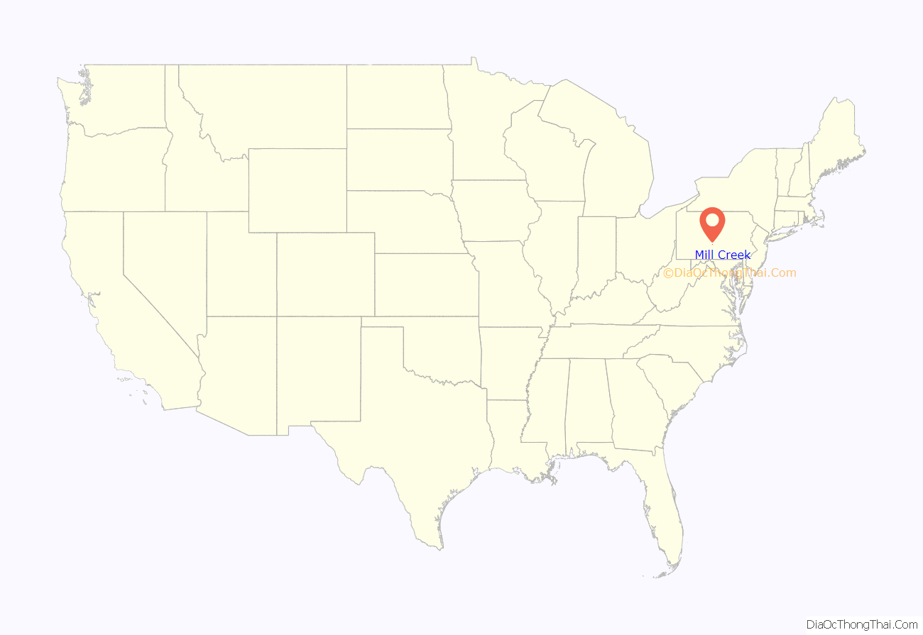
Mill Creek location map. Where is Mill Creek borough?
History
Mill Creek was named for the creek on which it is located. The creek was the main source of power for many of the mills in the settlement years of the 1700s, as well as during much of the nineteenth century.
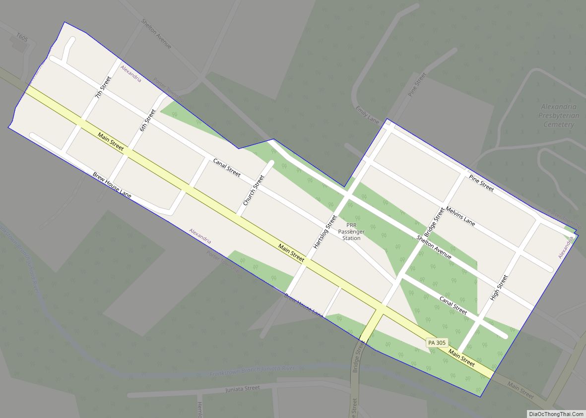
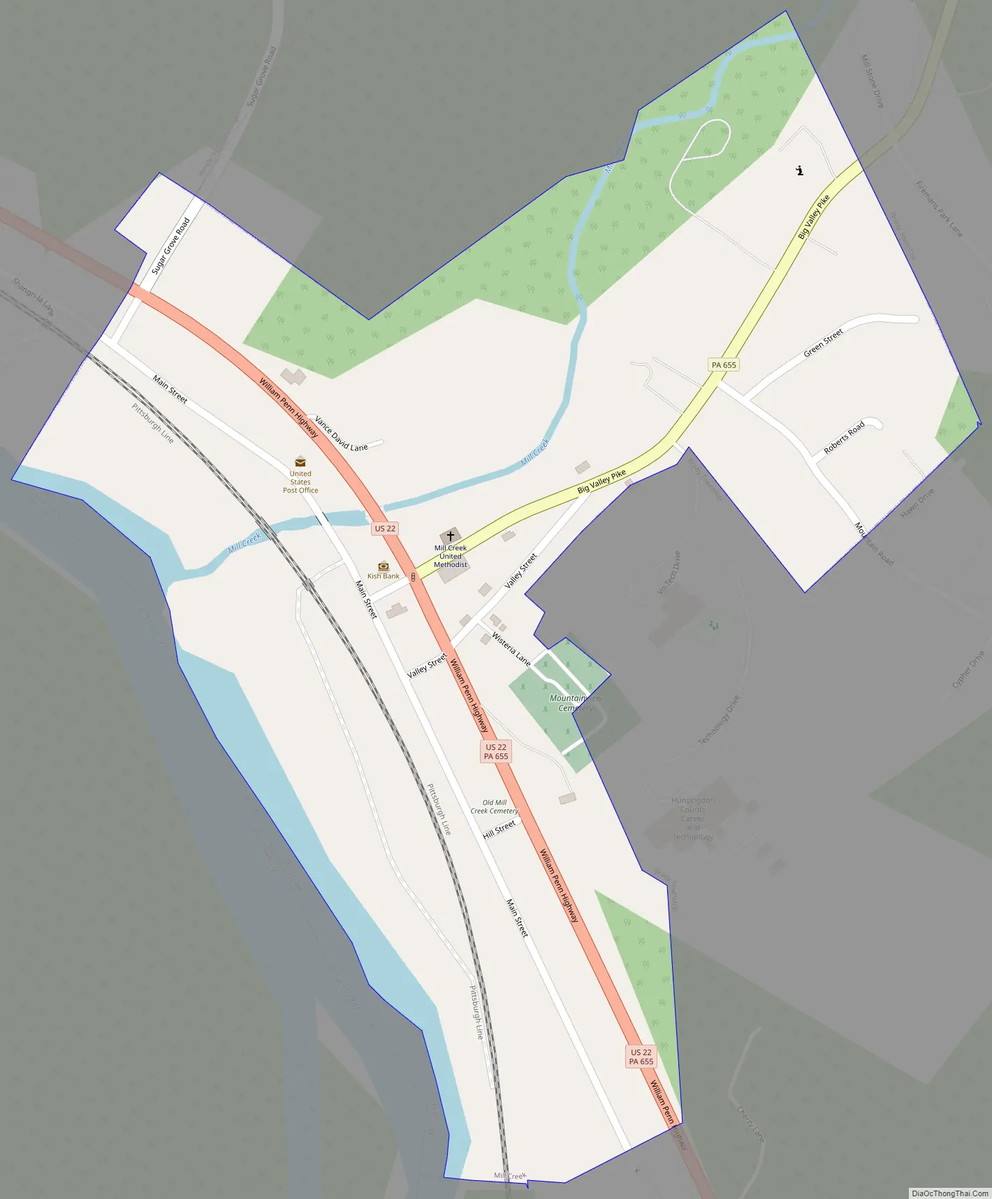
Mill Creek Road Map
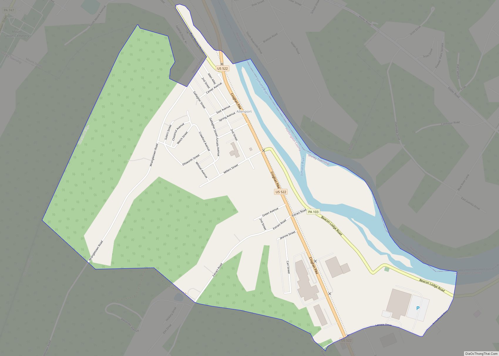
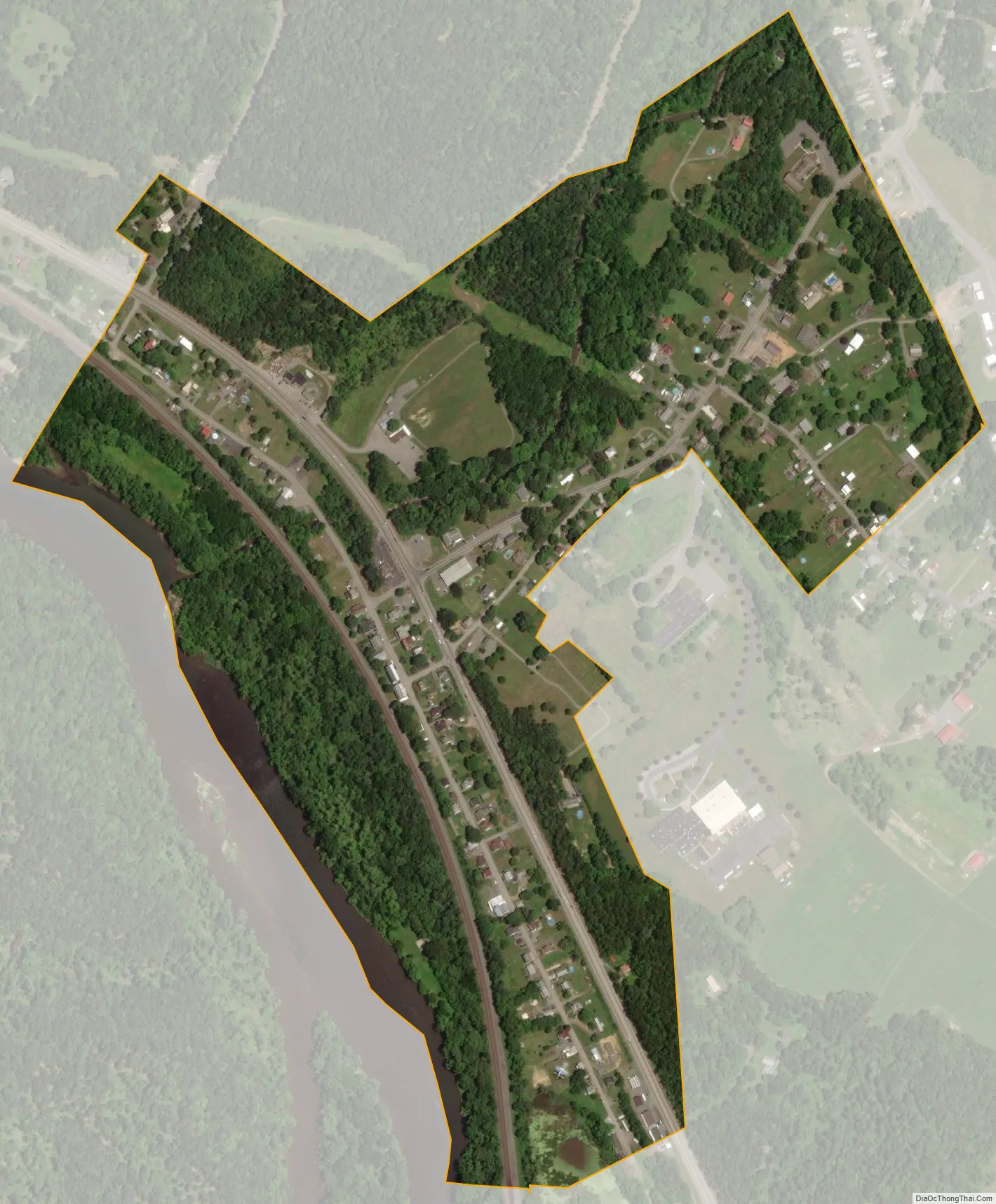
Mill Creek city Satellite Map
Geography
The borough of Mill Creek is located in east-central Huntingdon County at 40°26′12″N 77°55′52″W / 40.43667°N 77.93111°W / 40.43667; -77.93111 (40.436666, -77.931033). It sits on the northeastern side of the Juniata River where it is joined by Mill Creek. U.S. Route 22 passes through the borough, leading northwestward 5 miles (8 km) to Huntingdon, the county seat, and southeastward 6 miles (10 km) to Mount Union. Pennsylvania Route 655 (Big Valley Pike) leads northeastward from Mill Creek 16 miles (26 km) to Belleville in the Kishacoquillas Valley.
Mill Creek borough is bordered to the northwest by Henderson Township, to the southwest (across the Juniata) by Union Township, and to the east by Brady Township. All three of the neighboring townships are in Huntingdon County.
According to the United States Census Bureau, the borough has a total area of 0.32 square miles (0.84 km), of which 0.30 square miles (0.78 km) are land and 0.02 square miles (0.06 km), or 7.65%, are water.
See also
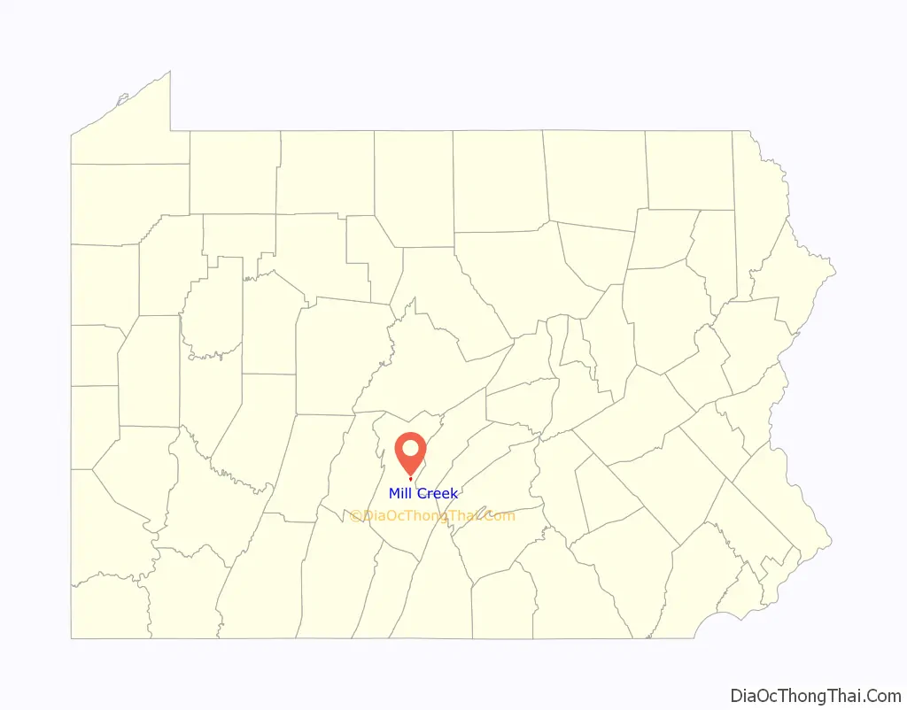
Map of Pennsylvania State and its subdivision:- Adams
- Allegheny
- Armstrong
- Beaver
- Bedford
- Berks
- Blair
- Bradford
- Bucks
- Butler
- Cambria
- Cameron
- Carbon
- Centre
- Chester
- Clarion
- Clearfield
- Clinton
- Columbia
- Crawford
- Cumberland
- Dauphin
- Delaware
- Elk
- Erie
- Fayette
- Forest
- Franklin
- Fulton
- Greene
- Huntingdon
- Indiana
- Jefferson
- Juniata
- Lackawanna
- Lancaster
- Lawrence
- Lebanon
- Lehigh
- Luzerne
- Lycoming
- Mc Kean
- Mercer
- Mifflin
- Monroe
- Montgomery
- Montour
- Northampton
- Northumberland
- Perry
- Philadelphia
- Pike
- Potter
- Schuylkill
- Snyder
- Somerset
- Sullivan
- Susquehanna
- Tioga
- Union
- Venango
- Warren
- Washington
- Wayne
- Westmoreland
- Wyoming
- York
- Alabama
- Alaska
- Arizona
- Arkansas
- California
- Colorado
- Connecticut
- Delaware
- District of Columbia
- Florida
- Georgia
- Hawaii
- Idaho
- Illinois
- Indiana
- Iowa
- Kansas
- Kentucky
- Louisiana
- Maine
- Maryland
- Massachusetts
- Michigan
- Minnesota
- Mississippi
- Missouri
- Montana
- Nebraska
- Nevada
- New Hampshire
- New Jersey
- New Mexico
- New York
- North Carolina
- North Dakota
- Ohio
- Oklahoma
- Oregon
- Pennsylvania
- Rhode Island
- South Carolina
- South Dakota
- Tennessee
- Texas
- Utah
- Vermont
- Virginia
- Washington
- West Virginia
- Wisconsin
- Wyoming