Millville is a borough in Columbia County, Pennsylvania, United States. It is part of Northeastern Pennsylvania. As of the 2020 census it had a population of 976. It is part of the Bloomsburg-Berwick micropolitan area.
| Name: | Millville borough |
|---|---|
| LSAD Code: | 21 |
| LSAD Description: | borough (suffix) |
| State: | Pennsylvania |
| County: | Columbia County |
| Incorporated: | 1892 |
| Elevation: | 650 ft (200 m) |
| Total Area: | 0.99 sq mi (2.56 km²) |
| Land Area: | 0.98 sq mi (2.54 km²) |
| Water Area: | 0.01 sq mi (0.02 km²) |
| Total Population: | 976 |
| Population Density: | 994.90/sq mi (384.00/km²) |
| ZIP code: | 17846 |
| Area code: | 570 and 272 |
| FIPS code: | 4249944 |
| Website: | www.millvilleboro.org |
Online Interactive Map
Click on ![]() to view map in "full screen" mode.
to view map in "full screen" mode.
Millville location map. Where is Millville borough?


History
John Eves, a native of Ireland living in Mill Creek Hundred, Delaware, is thought to have been one of the men to visit the Greenwood Valley and Little Fishing Creek area in 1770. (One account of this visit indicates that he purchased a sizable portion of the land he explored in the area from the Indians who had served as his guides on his journey.) Although he returned to Delaware after this initial visit, he returned the following year with his son Thomas and built a log cabin on the property. The entire Eves family arrived the next year, in 1772, and began tilling the fields adjacent to the cabin as soon as they could be cleared.
In 1774, the Eves family received a deed for their 1,203-acre (4.87 km) property in the valley, the largest land holding at the time in what would later become Columbia County. Title for the land, originally obtained by William and Elizabeth McMean in 1769, was passed to Reuben Haines, and then to John Eves.
An Indian uprising, the Battle of Wyoming, in mid-summer of 1778, caused the Eves family to flee their home in the valley and take refuge at a stockade near Washingtonville. Upon their return in 1785, they found their cabin burned and their fields overgrown, but immediately set about to recreate their homestead.
Millville Friends Meeting House, established in 1795
When the Eves family returned in the mid-1780s, they were determined to make the settlement permanent. They were accompanied or were soon followed by several other families, including Masters, Kisner, Battin, Parker, Lundy, Lemon, Oliver, and Rich. With 17 children and 104 grandchildren, John Eves looked after the building of homes for the family, a gristmill that was to stand for 100 years, and later a sawmill and several other essential structures.
Growth of the community was slow because it was not located along a main traveled route or major waterway. Until 1798, Indian trails, which crossed at Millville, were the only accessways to the area. In that year, a road was surveyed across the Mount Pleasant hills to the Susquehanna River. It was 1856 through before the road from Bloomsburg to Laporte was laid out through Millville.
Early residents were almost entirely self-sufficient. Thomas Eves succeeded his father in ownership of the grist mill and built the first house in what is now Millville Borough. According to an early historian, David and Andrew Eves opened the first store in the area in 1827. David Eves was also commissioned the first postmaster in 1831, followed by his brother Andrew some years later.
While the early population was scattered, provision was made for both worship and education. In the early years of the community, services and classes were held in the homes, but in 1785, a school was started in Millville and a two-room meeting house was erected in 1795.
Local industry at the time consisted of those operations which were necessary to meet the needs of the early population. Sawmills and grist mills were the first, followed by a woolen mill, started in 1813 by John Watson, several brick plants, and a wagon shop, established by Charles Eves, in 1837.
One spurt of growth in Millville occurred in 1856 when the road from Bloomsburg to Laporte was constructed. The town experienced considerable growth in the years following construction of this roadway because the community now had adequate access to markets and other transportation links in Bloomsburg. A second period of growth was experienced in 1887 when the railroad was constructed through town. Numerous businesses and industries were created and buildings were erected to service the railroad. A local newspaper, the Weekly Tablet, published its first edition in April 1887.
Millville Road Map

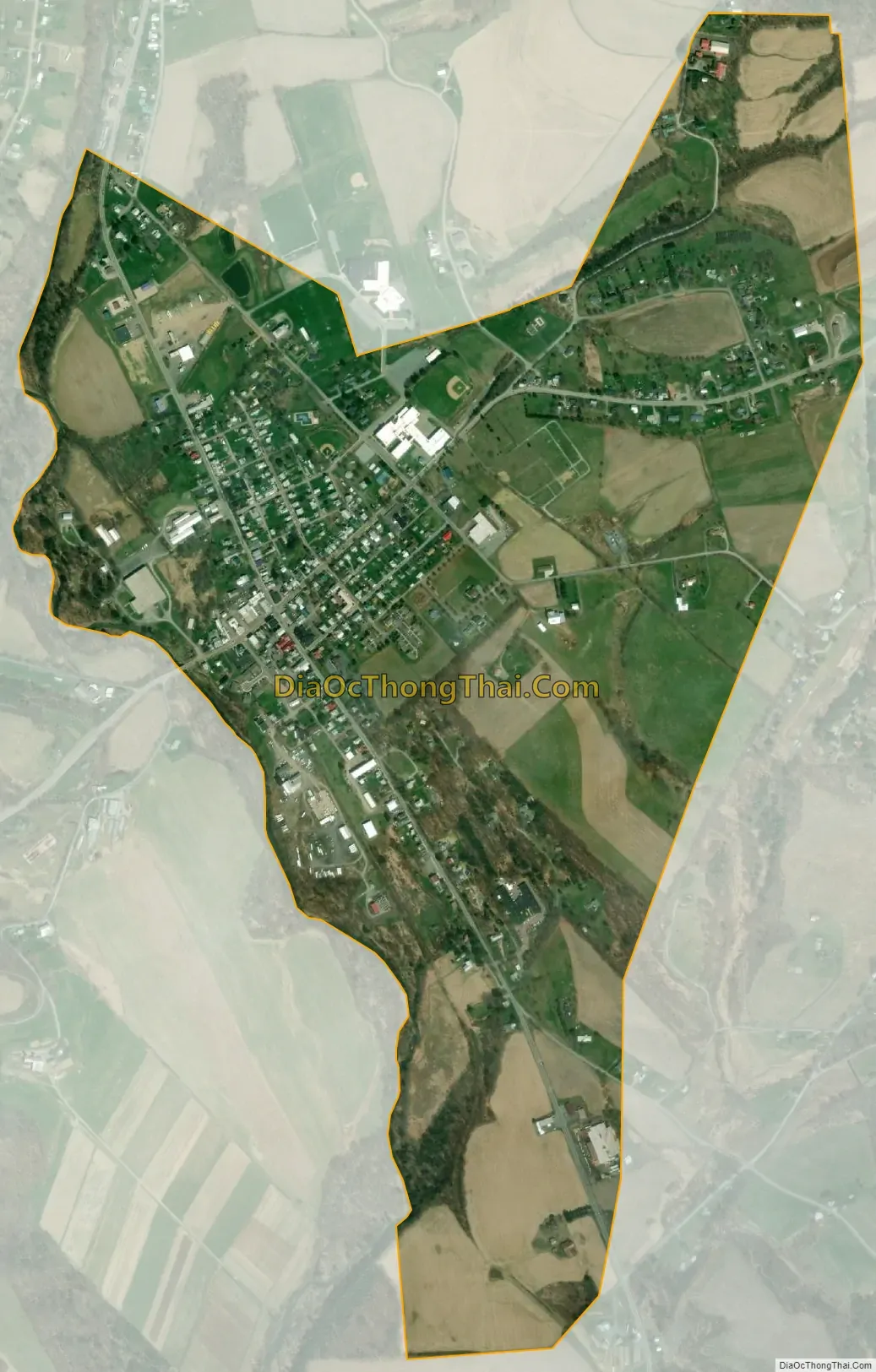
Millville city Satellite Map
Geography
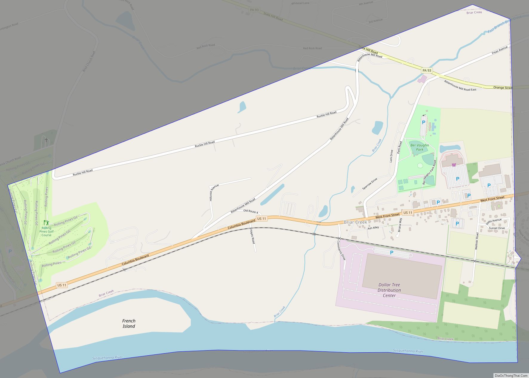
Millville is located in northwestern Columbia County at 41°7′22″N 76°31′40″W / 41.12278°N 76.52778°W / 41.12278; -76.52778 (41.122785, -76.527650), on the east side of Little Fishing Creek, which flows south to join Fishing Creek just north of the Susquehanna River in Bloomsburg. According to the United States Census Bureau, the borough has a total area of 1.0 square mile (2.6 km), of which 0.008 square miles (0.02 km), or 0.85%, is water. Millville is bordered to the north, east, and south by Greenwood Township, to the southwest, across Little Fishing Creek, by Madison Township, and to the northwest, also across the creek, by Pine Township. The unincorporated community of Iola borders Millville to the north in Greenwood Township.
Millville is served by Pennsylvania Route 42 and Pennsylvania Route 254. PA 42 leads north 27 miles (43 km) (via US 220) to Laporte and south 10 miles (16 km) to Bloomsburg, the Columbia County seat, while PA 254 leads east 6 miles (10 km) to Rohrsburg and southwest 4 miles (6 km) to Jerseytown.
See also
Map of Pennsylvania State and its subdivision:- Adams
- Allegheny
- Armstrong
- Beaver
- Bedford
- Berks
- Blair
- Bradford
- Bucks
- Butler
- Cambria
- Cameron
- Carbon
- Centre
- Chester
- Clarion
- Clearfield
- Clinton
- Columbia
- Crawford
- Cumberland
- Dauphin
- Delaware
- Elk
- Erie
- Fayette
- Forest
- Franklin
- Fulton
- Greene
- Huntingdon
- Indiana
- Jefferson
- Juniata
- Lackawanna
- Lancaster
- Lawrence
- Lebanon
- Lehigh
- Luzerne
- Lycoming
- Mc Kean
- Mercer
- Mifflin
- Monroe
- Montgomery
- Montour
- Northampton
- Northumberland
- Perry
- Philadelphia
- Pike
- Potter
- Schuylkill
- Snyder
- Somerset
- Sullivan
- Susquehanna
- Tioga
- Union
- Venango
- Warren
- Washington
- Wayne
- Westmoreland
- Wyoming
- York
- Alabama
- Alaska
- Arizona
- Arkansas
- California
- Colorado
- Connecticut
- Delaware
- District of Columbia
- Florida
- Georgia
- Hawaii
- Idaho
- Illinois
- Indiana
- Iowa
- Kansas
- Kentucky
- Louisiana
- Maine
- Maryland
- Massachusetts
- Michigan
- Minnesota
- Mississippi
- Missouri
- Montana
- Nebraska
- Nevada
- New Hampshire
- New Jersey
- New Mexico
- New York
- North Carolina
- North Dakota
- Ohio
- Oklahoma
- Oregon
- Pennsylvania
- Rhode Island
- South Carolina
- South Dakota
- Tennessee
- Texas
- Utah
- Vermont
- Virginia
- Washington
- West Virginia
- Wisconsin
- Wyoming