Monaca (/mɪˈnækə/ mi-NAK-ə) is a borough in Beaver County, Pennsylvania, United States along the Ohio River, 25 miles (40 km) northwest of Pittsburgh. The population was 5,615 as of the 2020 census. First incorporated as Phillipsburg as the home of the New Philadelphia Society, its name was changed to Monaca in honor of the Native American Monacatootha. Fire clay is found in large quantities in the vicinity, and there is a Stoelzle Glass plant in the town.
| Name: | Monaca borough |
|---|---|
| LSAD Code: | 21 |
| LSAD Description: | borough (suffix) |
| State: | Pennsylvania |
| County: | Beaver County |
| Incorporated: | 1840 |
| Elevation: | 938 ft (286 m) |
| Total Area: | 2.38 sq mi (6.17 km²) |
| Land Area: | 2.03 sq mi (5.25 km²) |
| Water Area: | 0.35 sq mi (0.92 km²) |
| Total Population: | 5,625 |
| Population Density: | 2,775.04/sq mi (1,071.43/km²) |
| Area code: | 724 |
| FIPS code: | 4250320 |
| Website: | www.monacapa.net |
Online Interactive Map
Click on ![]() to view map in "full screen" mode.
to view map in "full screen" mode.
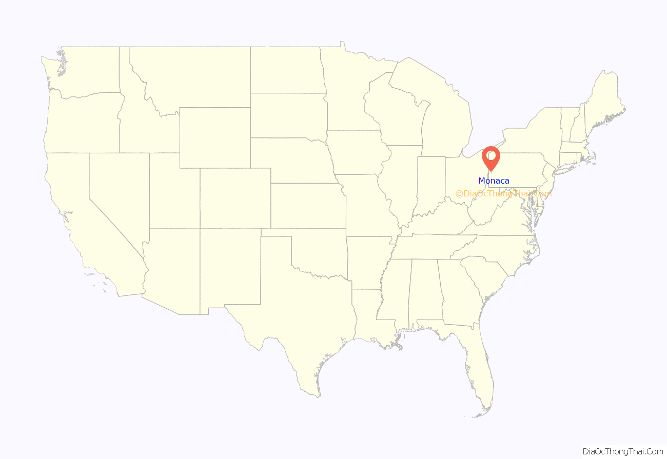
Monaca location map. Where is Monaca borough?
History
Early settlements
Monaca has a history dating to the 18th century. The land on which it stands was granted by the Commonwealth of Pennsylvania by patent, bearing the date September 5, 1787, to Colonel Ephraim Blaine (1741–1804), who served in the Continental Army during the Revolutionary War, was commissary-general of the Northern Department from 1778 to 1782, and was James G. Blaine’s great-grandfather. In the patent, this tract was called “Appetite”. On August 1, 1813, the land was bought by Francis Helvidi (or Helveti, Helvedi, Helvety), described as a Polish nobleman exiled from his native country who immigrated to America. Helvidi, who may have been the first white settler in Monaca, bought the large “Appetite” tract and raised sheep on it, but his venture was unsuccessful. Harmony Society leader George Rapp, one of Helveti’s creditors, complained in 1815 “about the risk Helvety is taking with the sheep,” and in 1821, the property was sold at Sheriff’s sale to Rapp.
In 1822, the beginnings of a town appeared when Stephen Phillips and John Graham purchased the property and established their “extensive boat yards” on the Ohio River there. It was first named for Phillips, and was long known as Phillipsburg. Phillips and Graham built numerous steamboats, including the William Penn, which carried the Harmonites from their second settlement in New Harmony, Indiana, to Beaver County and their third and final home at Economy. In 1832, Phillips and Graham sold the entire tract of land to seceders from the Harmony Society at Economy, and moved their boatyards to what is now Freedom. The seceders from the Harmony Society were led by Bernhard Müller, known as Count de Leon. The group consisted of German immigrants who formed a communal religious society. In 1832, after leaving Economy with about 250 former Harmony Society members, Müller and his followers started a new community in Phillipsburg (now Monaca) with the money they obtained in the settlement with the Harmony Society. There they established the New Philadelphian Congregation, or New Philadelphia Society, constructing a church, a hotel, and other buildings. They soon renamed this community “Löwenburg” (Lion City). Perhaps because of ongoing litigation and other financial problems, Müller’s group sold its communal land in Pennsylvania in 1833. Some community members stayed in Monaca, while others followed Müller and his family down the Ohio River on a flatboat. A number of those who followed Müller and his family ended up at the Germantown Colony near Minden, Louisiana. But many stayed in Monaca, and not long after Müller and his followers left, a new religious speaker, William Keil, showed up in the area in the early 1840s. Keil was able to attract some followers who were former Harmony Society/New Philadelphia Society members, and his group eventually moved away and settled the communal town of Bethel, Missouri, in 1844, and Aurora, Oregon, in 1856. But a number of former Harmony Society/New Philadelphia Society members stayed in Monaca. In 1840, the area was incorporated as the “Borough of Phillipsburg” from the Moon Township site. The first burgess was Frederick Charles Speyerer, and the first council Edward Acker, Jacob Schaffer, Henry Jung, George Forstner, and Adam Schule.
Mid- to late 1800s
Edward Acker established a “Watercure Sanatorium” in Phillipsburg in 1848, and in 1856 when the borough’s first post office was established, it took the name “Water Cure”. In 1865, Reverend William G. Taylor bought the Sanatorium buildings for his Soldiers’ Orphans Home. The Home, according to one of the students, consisted of a “dormitory, dining room, schoolhouse, bathhouse, woodshed, carpenter shop and a two-acre playground.” It burned in 1876. There is a historical marker near the point where Fourth Street meets Route 18 that reads: “Water Cure Sanatorium founded 1848 by Dr. Edward Acker. Used hydropathy or water to heal. First hospital in Beaver County. Town’s first post office, 1856. Phillipsburg Soldiers Orphans School founded 1866 by Rev. William Taylor. Destroyed by fire 1876. Beaver County Historical Research & Landmarks Foundation”.
Thiel College was founded in Monaca in 1866, and moved to Greenville five years later. A historical marker on Fourth Street reads: “Site of Thiel College endowed by A. Louis Thiel and founded in 1866 as Thiel Hall by Rev. William A. Passavant. Chartered in 1870 as Thiel College of The Evangelical Lutheran Church with Rev. Henry W. Roth as first president. Moved to Greenville, PA, 1871. Beaver County Historical Research & Landmarks Foundation”.
In 1892, the borough’s name was changed from Phillipsburg to Monaca in honor of the Native American Indian Monacatootha (also known as Scarouady). Monacatootha (“Great Arrow”) was an Oneida warrior chief and a representative of the Iroquois Confederacy with the authority to supervise affairs among the Delawares and Shawnees in that area. He had met with future U.S. President George Washington in Logstown. He was a strong friend of the English and campaigned against the French.
Modern era
In the borough’s history, manufacturers made tons of enameled porcelain ware, glass, tile, tubing, drawn steel and wire. Today, Stölzle Glass USA (former Phoenix Glass/Anchor Hocking Plant #44) is in Monaca.
In 2003, Monaca was the epicenter of one of the most widespread hepatitis A outbreaks in the United States, which afflicted at least 640 people and killed four in northeastern Ohio and southwestern Pennsylvania. The outbreak was blamed on tainted green onions at a Chi-Chi’s restaurant in the town.
In March 2012, Royal Dutch Shell announced its intention to study and build a multi-billion-dollar ethane cracker complex near Monaca to produce ethylene from abundant Marcellus shale natural gas in the area. It would be the first such unit built in the northeastern U.S. utilizing natural gas obtained from hydraulic fracturing as feedstock. In June 2016, Shell Chemical Appalachia committed to build the Shell Pennsylvania Petrochemicals Complex at the former Horsehead Corporation zinc site near Monaca in Potter Township.
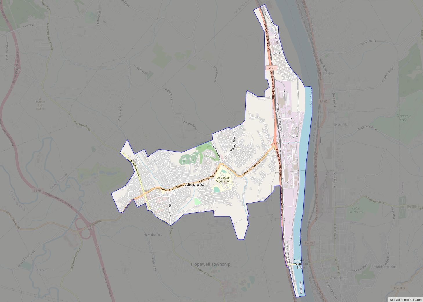
Monaca Road Map
Monaca city Satellite Map
Geography
Monaca is located at 40°41′2″N 80°16′37″W / 40.68389°N 80.27694°W / 40.68389; -80.27694 (40.683966, −80.276986), on the south side of the Ohio River.
According to the United States Census Bureau, the borough has an area of 2.4 square miles (6.2 km), of which 2.0 square miles (5.3 km) is land and 0.35 square miles (0.9 km), or 14.89%, is water.
Surrounding and adjacent neighborhoods
Monaca has only one land border, with Center Township to the south and west. Across the Ohio River, Monaca runs adjacent with (from west to southeast) Beaver, Bridgewater, Rochester, East Rochester, Freedom, and Conway.
Two bridges cross the Ohio River from Monaca: the Rochester–Monaca Bridge carries Pennsylvania Route 18 into Rochester, and the Monaca–East Rochester Bridge carries Pennsylvania Route 51 into East Rochester. A third bridge, the Beaver Bridge, carries rail tracks owned by CSX Transportation from Monaca into Bridgewater.
See also
Map of Pennsylvania State and its subdivision:- Adams
- Allegheny
- Armstrong
- Beaver
- Bedford
- Berks
- Blair
- Bradford
- Bucks
- Butler
- Cambria
- Cameron
- Carbon
- Centre
- Chester
- Clarion
- Clearfield
- Clinton
- Columbia
- Crawford
- Cumberland
- Dauphin
- Delaware
- Elk
- Erie
- Fayette
- Forest
- Franklin
- Fulton
- Greene
- Huntingdon
- Indiana
- Jefferson
- Juniata
- Lackawanna
- Lancaster
- Lawrence
- Lebanon
- Lehigh
- Luzerne
- Lycoming
- Mc Kean
- Mercer
- Mifflin
- Monroe
- Montgomery
- Montour
- Northampton
- Northumberland
- Perry
- Philadelphia
- Pike
- Potter
- Schuylkill
- Snyder
- Somerset
- Sullivan
- Susquehanna
- Tioga
- Union
- Venango
- Warren
- Washington
- Wayne
- Westmoreland
- Wyoming
- York
- Alabama
- Alaska
- Arizona
- Arkansas
- California
- Colorado
- Connecticut
- Delaware
- District of Columbia
- Florida
- Georgia
- Hawaii
- Idaho
- Illinois
- Indiana
- Iowa
- Kansas
- Kentucky
- Louisiana
- Maine
- Maryland
- Massachusetts
- Michigan
- Minnesota
- Mississippi
- Missouri
- Montana
- Nebraska
- Nevada
- New Hampshire
- New Jersey
- New Mexico
- New York
- North Carolina
- North Dakota
- Ohio
- Oklahoma
- Oregon
- Pennsylvania
- Rhode Island
- South Carolina
- South Dakota
- Tennessee
- Texas
- Utah
- Vermont
- Virginia
- Washington
- West Virginia
- Wisconsin
- Wyoming
