Montgomery is a borough in Lycoming County, Pennsylvania, United States. The population was 1,570 at the 2020 census. It is part of the Williamsport, Pennsylvania Metropolitan Statistical Area.
| Name: | Montgomery borough |
|---|---|
| LSAD Code: | 21 |
| LSAD Description: | borough (suffix) |
| State: | Pennsylvania |
| County: | Lycoming County |
| Incorporated: | 1887 |
| Elevation: | 509 ft (155 m) |
| Total Area: | 0.55 sq mi (1.43 km²) |
| Land Area: | 0.55 sq mi (1.42 km²) |
| Water Area: | 0.01 sq mi (0.01 km²) |
| Total Population: | 1,568 |
| Population Density: | 2,866.54/sq mi (1,107.51/km²) |
| ZIP code: | 17752 |
| Area code: | 570 |
| FIPS code: | 4250632 |
| GNISfeature ID: | 1214023 |
| Website: | www.montgomeryborough.org |
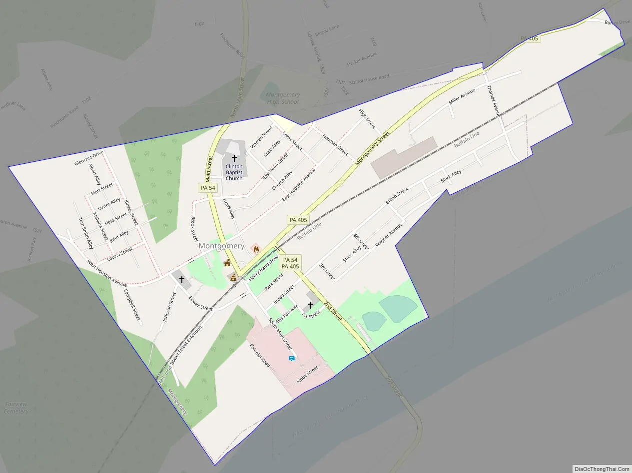
Online Interactive Map
Click on ![]() to view map in "full screen" mode.
to view map in "full screen" mode.
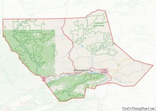
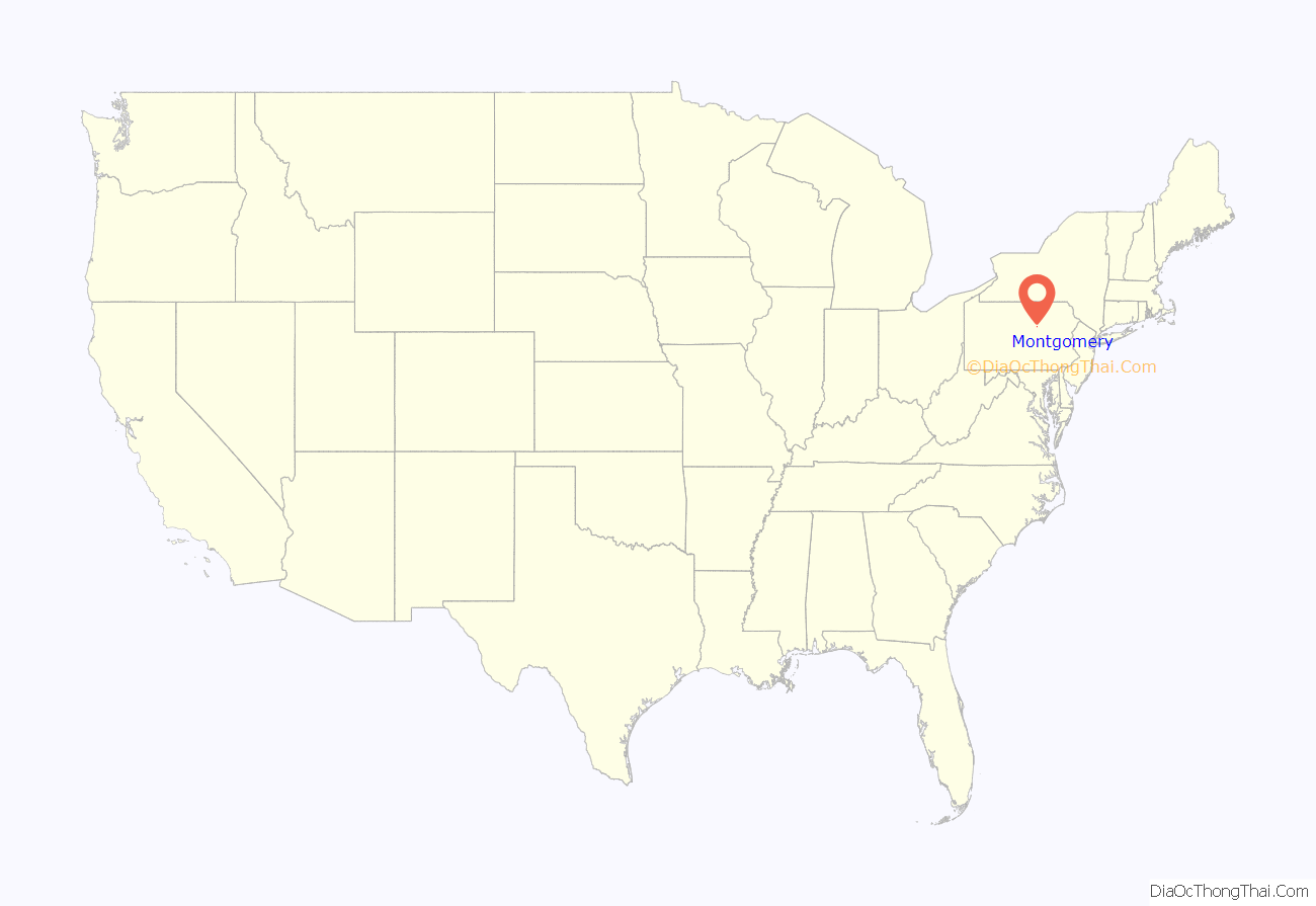
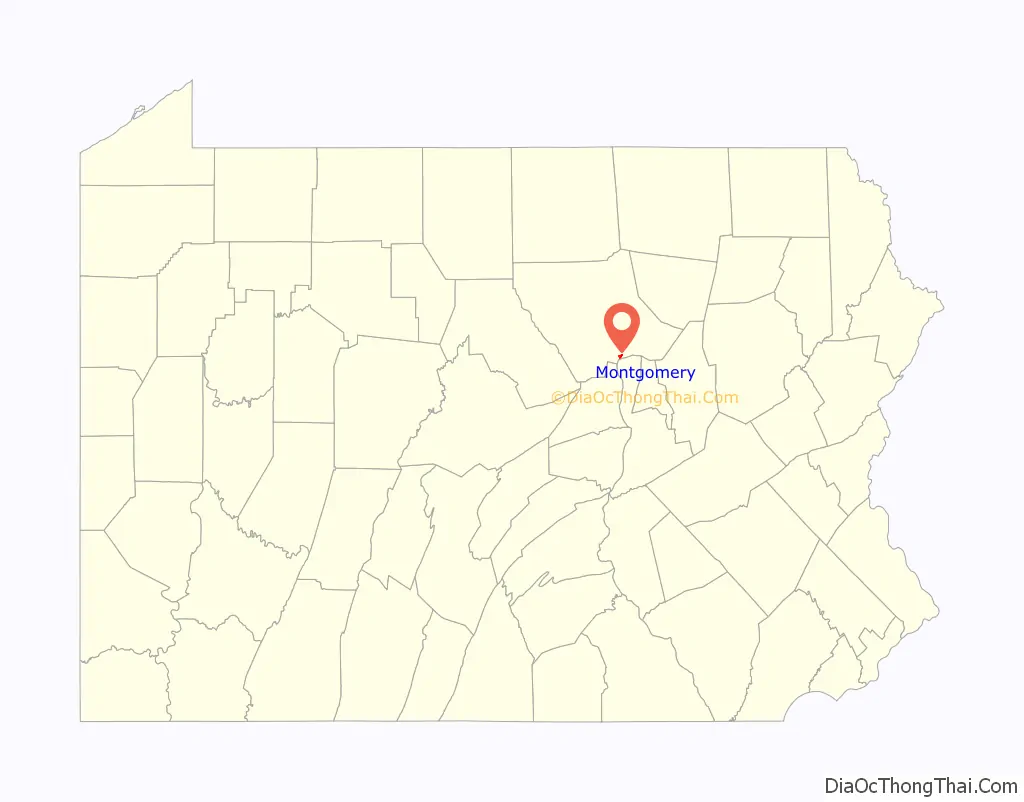
Montgomery location map. Where is Montgomery borough?
History
Montgomery was incorporated as a borough by the Court of Quarter Sessions of the Peace of Lycoming County, Pennsylvania on March 21, 1887 from part of Clinton Township. The history of the settlement of Montgomery begins in 1783 when John Lawson established a homestead there. Nicholas Shaffer built a gristmill in Montgomery in 1795. A sawmill and a wool carding mill were other early industries found on Black Hole Creek which flows through Montgomery.
P. M. Barber opened a distillery in 1859 and later a planing mill in 1869 on the site of the distillery which maintained sustained success. Barber with his partners, A.B. Henderson, Jesse Rank, and Nathan Fowler laid out a town around their mill in 1870. The town was further expanded by the success of Montgomery Machine Shops which started in 1873, under the supervision of Levi Houston, and built woodworking machinery sold to clients throughout the United States, Canada and Australia.
Montgomery was previously known as Black Hole for the creek that flows through it and the post office established in 1836 bearing that name. It was also known as Clinton Mills, again named for the post office. The name Montgomery stems from another name for the same post office, Montgomery Station.
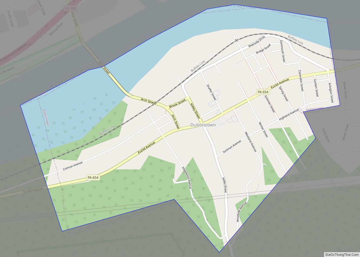
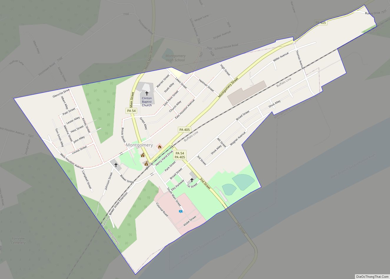
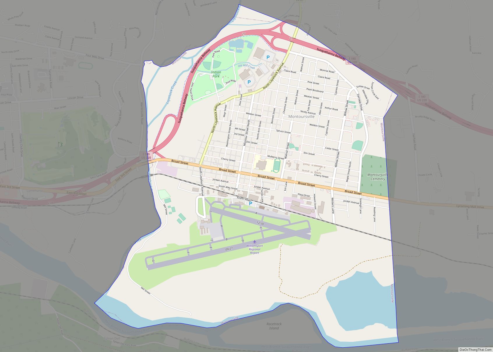
Montgomery Road Map
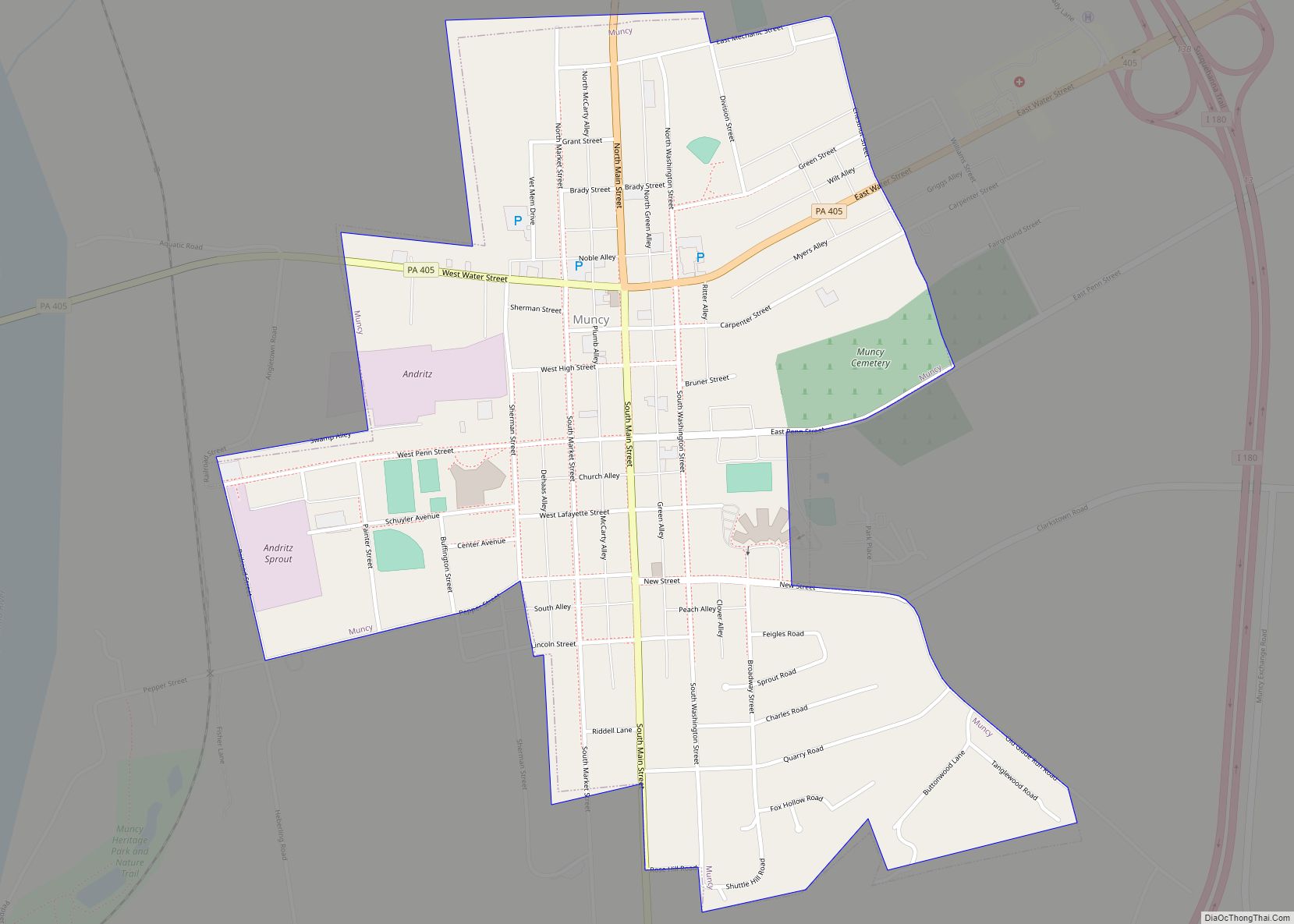
Montgomery city Satellite Map

Geography
Montgomery is located at 41°10′17″N 76°52′33″W / 41.17139°N 76.87583°W / 41.17139; -76.87583 (41.171393, -76.875826). Montgomery lies along the West Branch of the Susquehanna River, approximately six miles to the southwest of the borough of Muncy, and eight and one-half miles southeast of the city of Williamsport. It borders Clinton Township on sides not bordered by the river. As the crow flies, Lycoming County is about 130 miles (209 km) northwest of Philadelphia and 165 miles (266 km) east-northeast of Pittsburgh.
According to the United States Census Bureau, the borough has a total area of 0.6 square miles (1.6 km), of which 0.5 square mile (1.4 km) is land and 0.04 square miles (0.10 km) (6.90%) is water.
See also
Map of Pennsylvania State and its subdivision:- Adams
- Allegheny
- Armstrong
- Beaver
- Bedford
- Berks
- Blair
- Bradford
- Bucks
- Butler
- Cambria
- Cameron
- Carbon
- Centre
- Chester
- Clarion
- Clearfield
- Clinton
- Columbia
- Crawford
- Cumberland
- Dauphin
- Delaware
- Elk
- Erie
- Fayette
- Forest
- Franklin
- Fulton
- Greene
- Huntingdon
- Indiana
- Jefferson
- Juniata
- Lackawanna
- Lancaster
- Lawrence
- Lebanon
- Lehigh
- Luzerne
- Lycoming
- Mc Kean
- Mercer
- Mifflin
- Monroe
- Montgomery
- Montour
- Northampton
- Northumberland
- Perry
- Philadelphia
- Pike
- Potter
- Schuylkill
- Snyder
- Somerset
- Sullivan
- Susquehanna
- Tioga
- Union
- Venango
- Warren
- Washington
- Wayne
- Westmoreland
- Wyoming
- York
- Alabama
- Alaska
- Arizona
- Arkansas
- California
- Colorado
- Connecticut
- Delaware
- District of Columbia
- Florida
- Georgia
- Hawaii
- Idaho
- Illinois
- Indiana
- Iowa
- Kansas
- Kentucky
- Louisiana
- Maine
- Maryland
- Massachusetts
- Michigan
- Minnesota
- Mississippi
- Missouri
- Montana
- Nebraska
- Nevada
- New Hampshire
- New Jersey
- New Mexico
- New York
- North Carolina
- North Dakota
- Ohio
- Oklahoma
- Oregon
- Pennsylvania
- Rhode Island
- South Carolina
- South Dakota
- Tennessee
- Texas
- Utah
- Vermont
- Virginia
- Washington
- West Virginia
- Wisconsin
- Wyoming