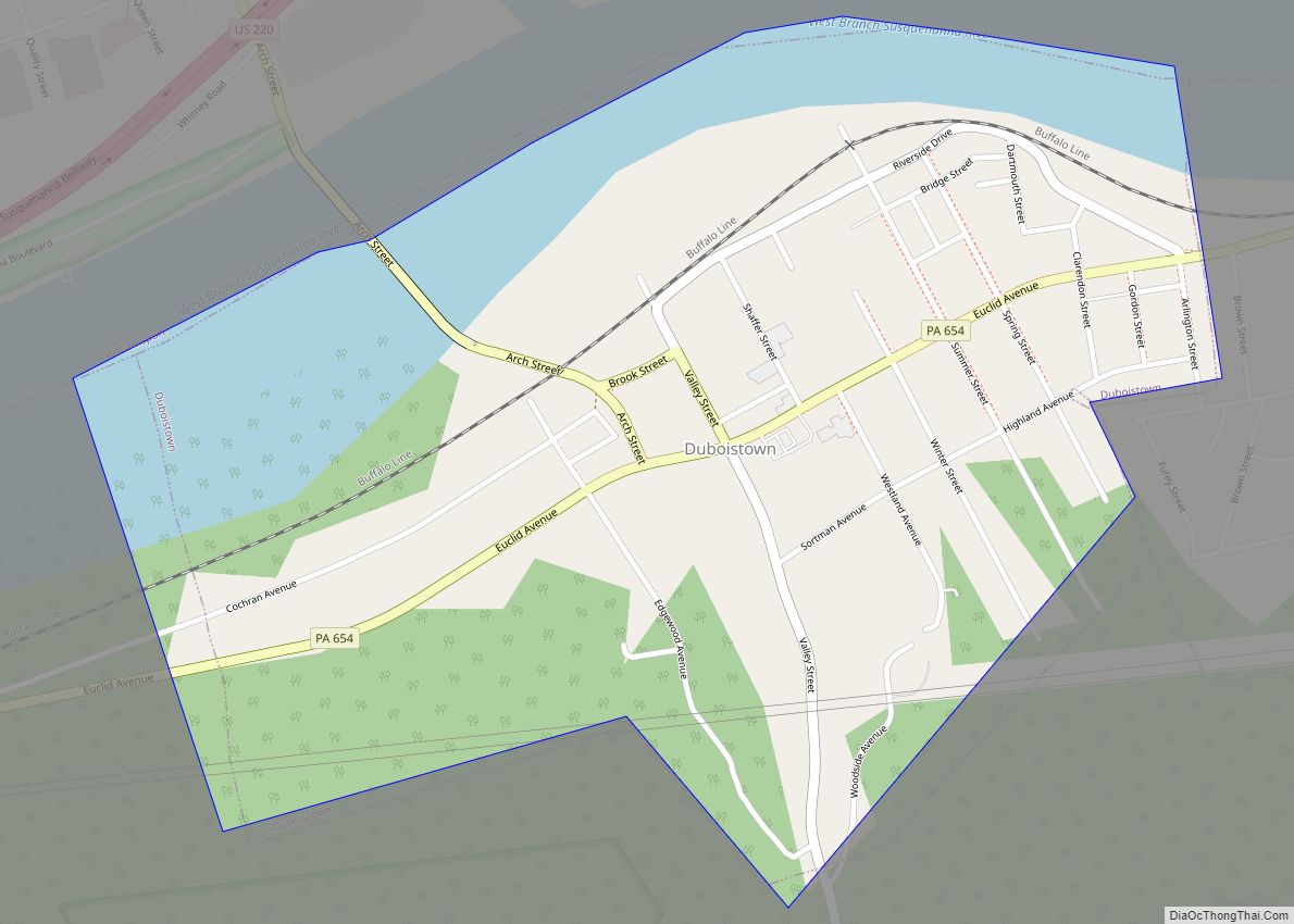
Duboistown is a borough in Lycoming County, Pennsylvania, United States. The population was 1,198 at the 2020 census. It is part of the Williamsport, Pennsylvania Metropolitan Statistical Area.
| Name: | Duboistown borough |
|---|---|
| LSAD Code: | 21 |
| LSAD Description: | borough (suffix) |
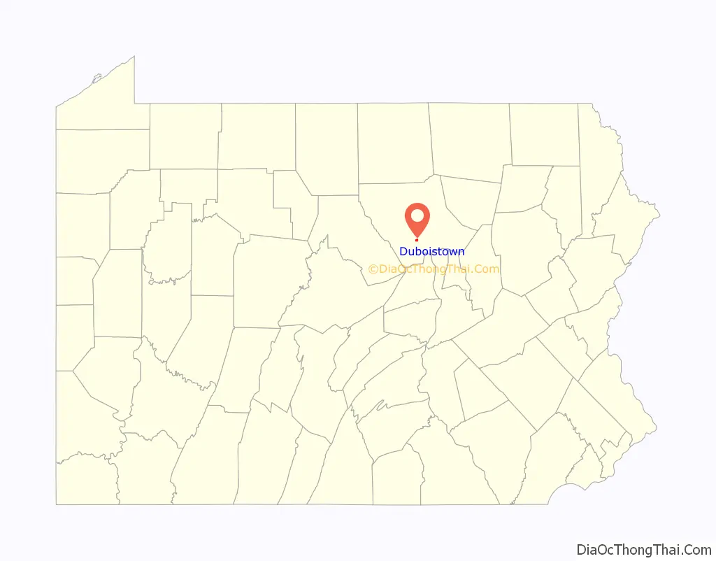
| State: | Pennsylvania |
| County: | Lycoming County |
| Incorporated: | 1878 |
| Total Area: | 0.68 sq mi (1.76 km²) |
| Land Area: | 0.55 sq mi (1.43 km²) |
| Water Area: | 0.13 sq mi (0.33 km²) |
| Total Population: | 1,200 |
| Population Density: | 2,173.91/sq mi (838.85/km²) |
| ZIP code: | 17702 |
| Area code: | 570 |
| FIPS code: | 4220144 |
| GNISfeature ID: | 1192377 |
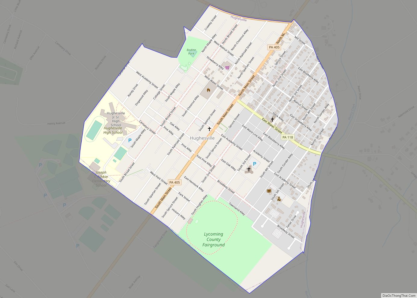
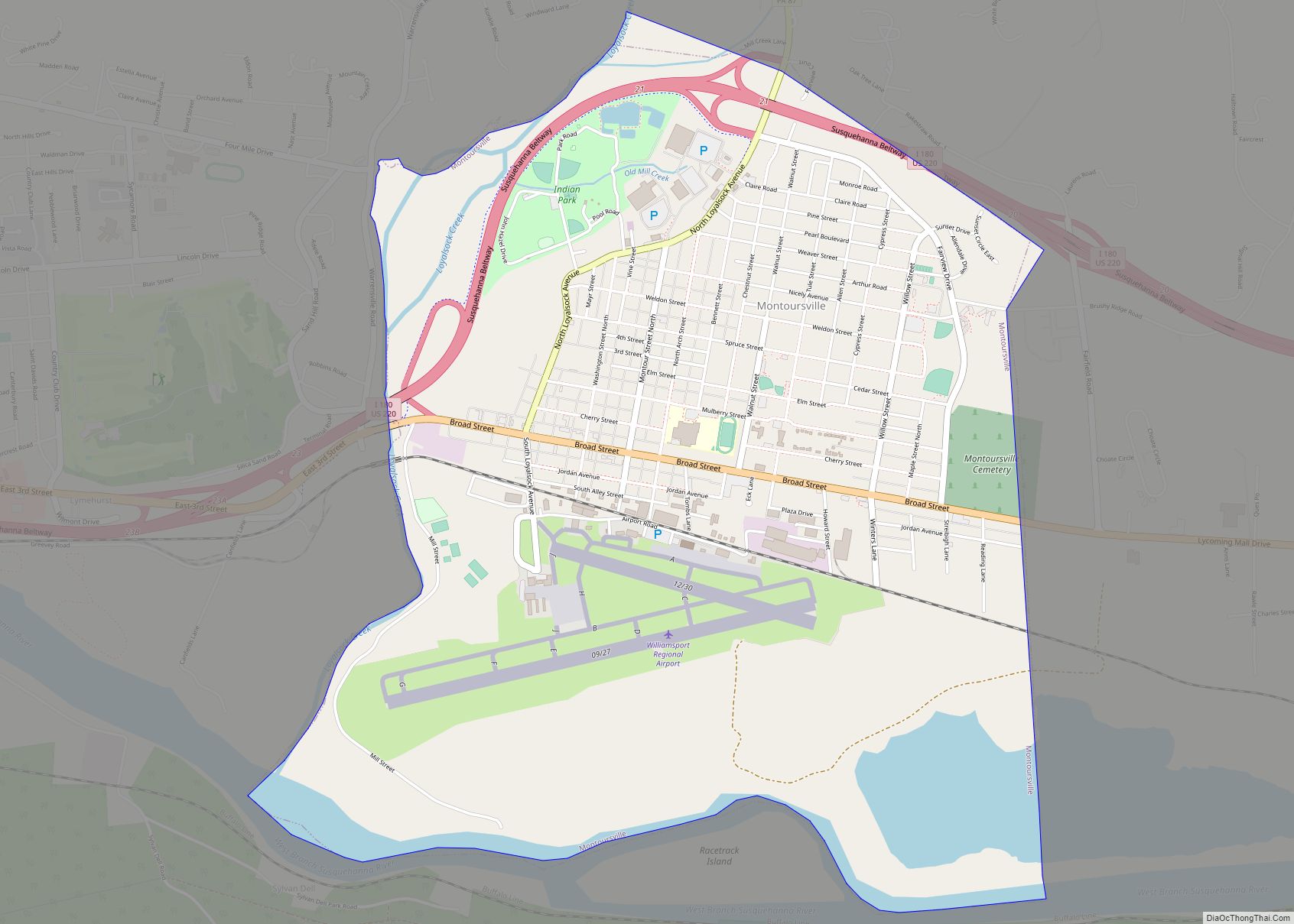
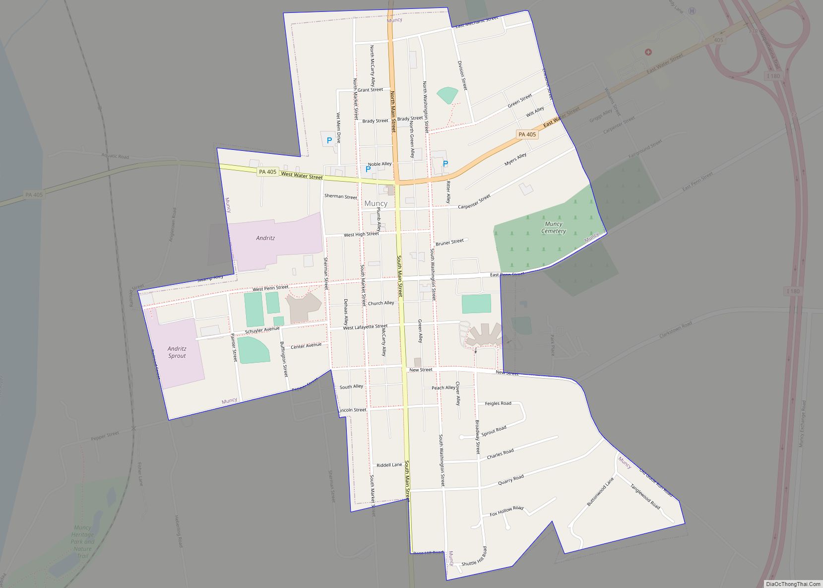
Online Interactive Map
Click on ![]() to view map in "full screen" mode.
to view map in "full screen" mode.
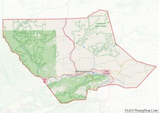
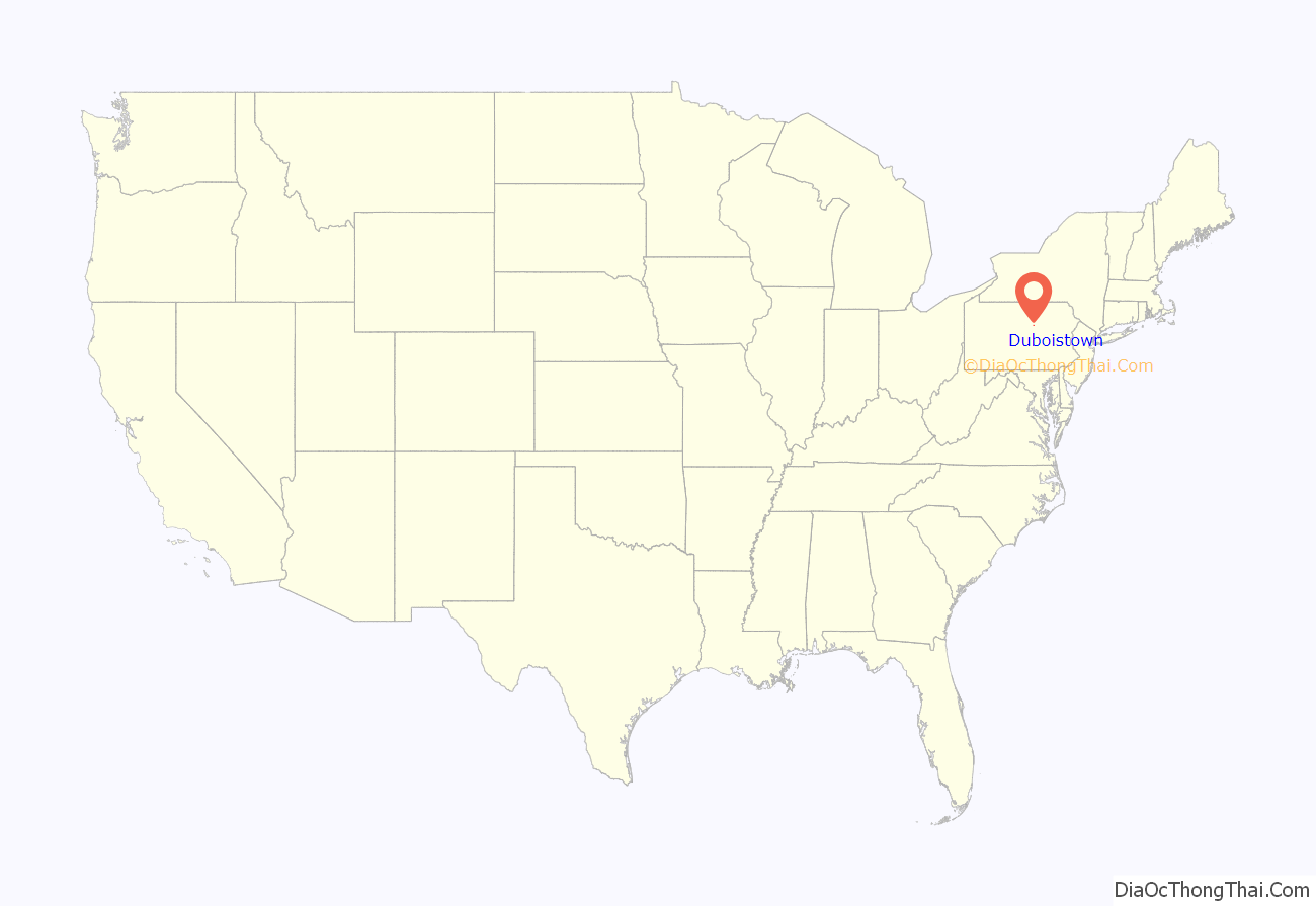
Duboistown location map. Where is Duboistown borough?
History
Duboistown (pronounced ‘doo-BOYS town’) is named for its founders John and Mathias DuBois who bought 489 acres (1.98 km) of land between 1852 and 1857. The DuBois brothers divided their land into parcels and established the village that bears their name. John DuBois left the West Branch Susquehanna Valley before Duboistown was established as a borough. He sold his business interests and moved west to Clearfield County. He became quite wealthy and the city of DuBois was named in his honor.
The town built by the DuBois brothers and established as a borough in 1878 is by no means the beginning of the history of Duboistown. It is situated at the mouth of Mosquito Run on the banks of the West Branch Susquehanna River. A tribe of Susquehannock Indians had what appears to have been a fairly major settlement at the mouth of the creek. The early European settlers found the remains of an Indian village there. Arhaeologic evidence of earthenware, soapstone ware, pestles, hatchets, ornaments and charms were found on the land that is across the river from Lycoming Creek and near where the Sheshequin Path crossed the river.
The land on which Duboistown is located was first surveyed in 1769. At the time it was known as “Walnut Bottom” for the vast stands of black walnut that covered the alluvial plain on which the borough now stands. Samuel Boone, cousin of Daniel Boone, held the first warrant for land at Walnut Bottom.
Andrew Culbertson was one of the first settlers to have success in the Duboistown area. He purchased several tracts of land beginning in 1773, including the parcel owned by Samuel Boone, near the mouth of Mosquito Run. Culbertson is thought to have moved into the area by crossing an Indian Trail over White Deer Mountain that is now known as Culbertson’s Path. He built a sawmill at the mouth of the creek soon after moving to the area, and he lived in the area for several years before being forced to flee during the American Revolutionary War, when settlements throughout the Susquehanna valley were attacked by Loyalists and their Indian allies. After the Battle of Wyoming in the summer of 1778 (near what is now Wilkes-Barre) and smaller local attacks, the “Big Runaway” occurred throughout the West Branch Susquehanna valley. Settlers fled feared and actual attacks by the British and their allies. Settlers abandoned their homes and fields, drove their livestock south, and towed their possessions on rafts on the river to Sunbury. Their abandoned property was burned by the attackers. Some settlers soon returned, only to flee again in the summer of 1779 in the “Little Runaway”. Culbertson returned to the area and rebuilt his sawmill. He also built a gristmill, distillery, and a press that extracted nut and linseed oils. His gristmill was especially important to the development of the West Branch Susquehanna River Valley. It was easily accessible from canoe. Farmers could float their grain in their canoes or other watercraft right up to the mill. Other farmers from the surrounding valleys reached his mill via Culbertson’s Path. Culbertson saw another business opportunity with the farmers who were coming to his mill. He quickly built a tavern in which the weary farmers could enjoy a drink and get some food while they waited for their grain to be ground into flour. This tavern became a popular destination for the young people of the West Branch Valley. Today Culbertson’s Mill and tavern are long gone and the area is a largely overgrown riverbank with an abandoned softball field, that is surrounded by a railroad, bridge, and woods.
The 200 block of Summer Street in Duboistown is decorated for Christmas each December and is known as Candy Cane Lane. In 2007, the mayor of the borough proclaimed the month of “December as Candy Cane Lane month forever more in DuBoistown”.
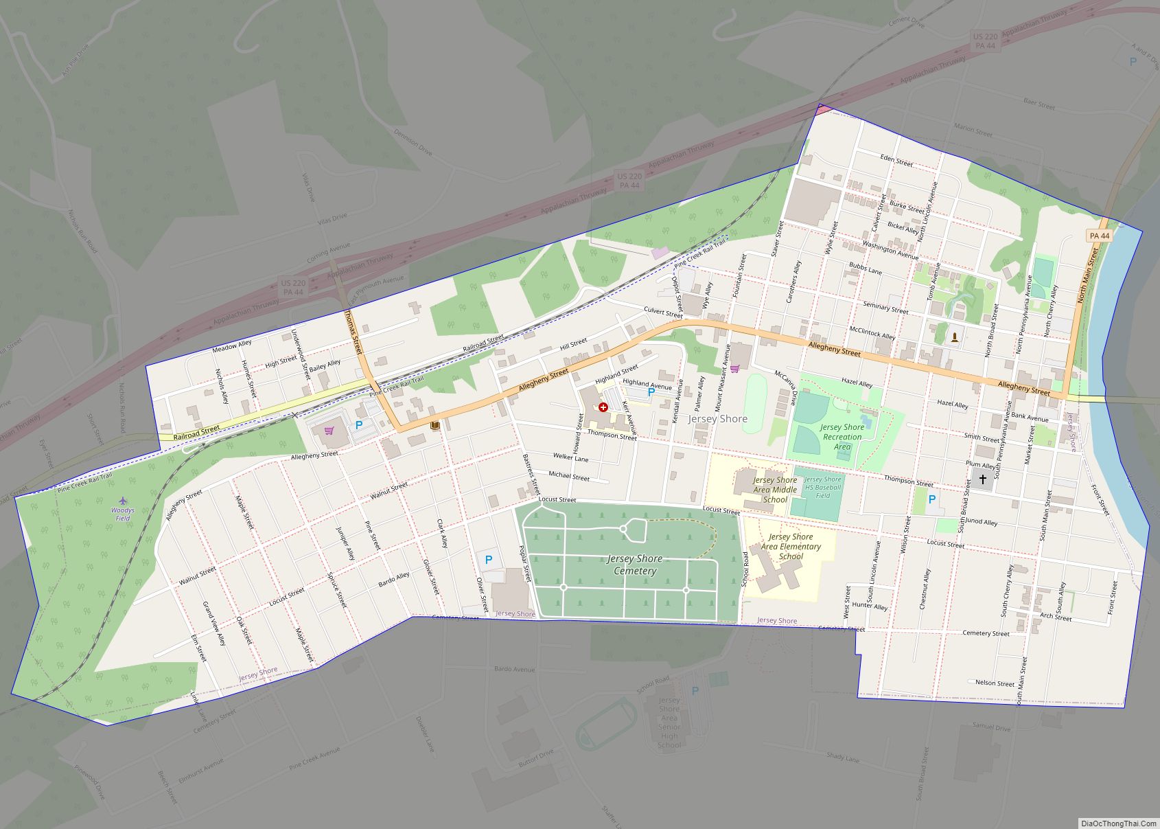
Duboistown Road Map

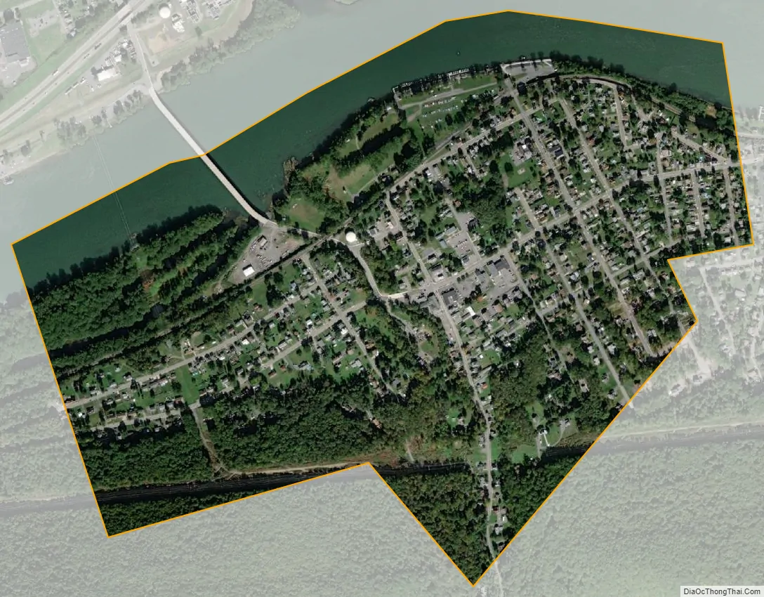
Duboistown city Satellite Map
Geography
Duboistown is located at 41°13′31″N 77°2′6″W / 41.22528°N 77.03500°W / 41.22528; -77.03500 (41.225278, -77.034953). It is bordered by South Williamsport to the east, Armstrong Township to the south and west, and the West Branch Susquehanna River to the north (with Williamsport north of the river). As the crow flies, Lycoming County is approximately 130 miles (209 km) northwest of Philadelphia and 165 miles (266 km) east-northeast of Pittsburgh.
According to the United States Census Bureau, the borough has a total area of 0.6 square miles (1.6 km), of which 0.6 square mile (1.5 km) is land and 0.1 square miles (0.26 km) (13.85%) is water.
See also
Map of Pennsylvania State and its subdivision:- Adams
- Allegheny
- Armstrong
- Beaver
- Bedford
- Berks
- Blair
- Bradford
- Bucks
- Butler
- Cambria
- Cameron
- Carbon
- Centre
- Chester
- Clarion
- Clearfield
- Clinton
- Columbia
- Crawford
- Cumberland
- Dauphin
- Delaware
- Elk
- Erie
- Fayette
- Forest
- Franklin
- Fulton
- Greene
- Huntingdon
- Indiana
- Jefferson
- Juniata
- Lackawanna
- Lancaster
- Lawrence
- Lebanon
- Lehigh
- Luzerne
- Lycoming
- Mc Kean
- Mercer
- Mifflin
- Monroe
- Montgomery
- Montour
- Northampton
- Northumberland
- Perry
- Philadelphia
- Pike
- Potter
- Schuylkill
- Snyder
- Somerset
- Sullivan
- Susquehanna
- Tioga
- Union
- Venango
- Warren
- Washington
- Wayne
- Westmoreland
- Wyoming
- York
- Alabama
- Alaska
- Arizona
- Arkansas
- California
- Colorado
- Connecticut
- Delaware
- District of Columbia
- Florida
- Georgia
- Hawaii
- Idaho
- Illinois
- Indiana
- Iowa
- Kansas
- Kentucky
- Louisiana
- Maine
- Maryland
- Massachusetts
- Michigan
- Minnesota
- Mississippi
- Missouri
- Montana
- Nebraska
- Nevada
- New Hampshire
- New Jersey
- New Mexico
- New York
- North Carolina
- North Dakota
- Ohio
- Oklahoma
- Oregon
- Pennsylvania
- Rhode Island
- South Carolina
- South Dakota
- Tennessee
- Texas
- Utah
- Vermont
- Virginia
- Washington
- West Virginia
- Wisconsin
- Wyoming