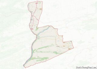
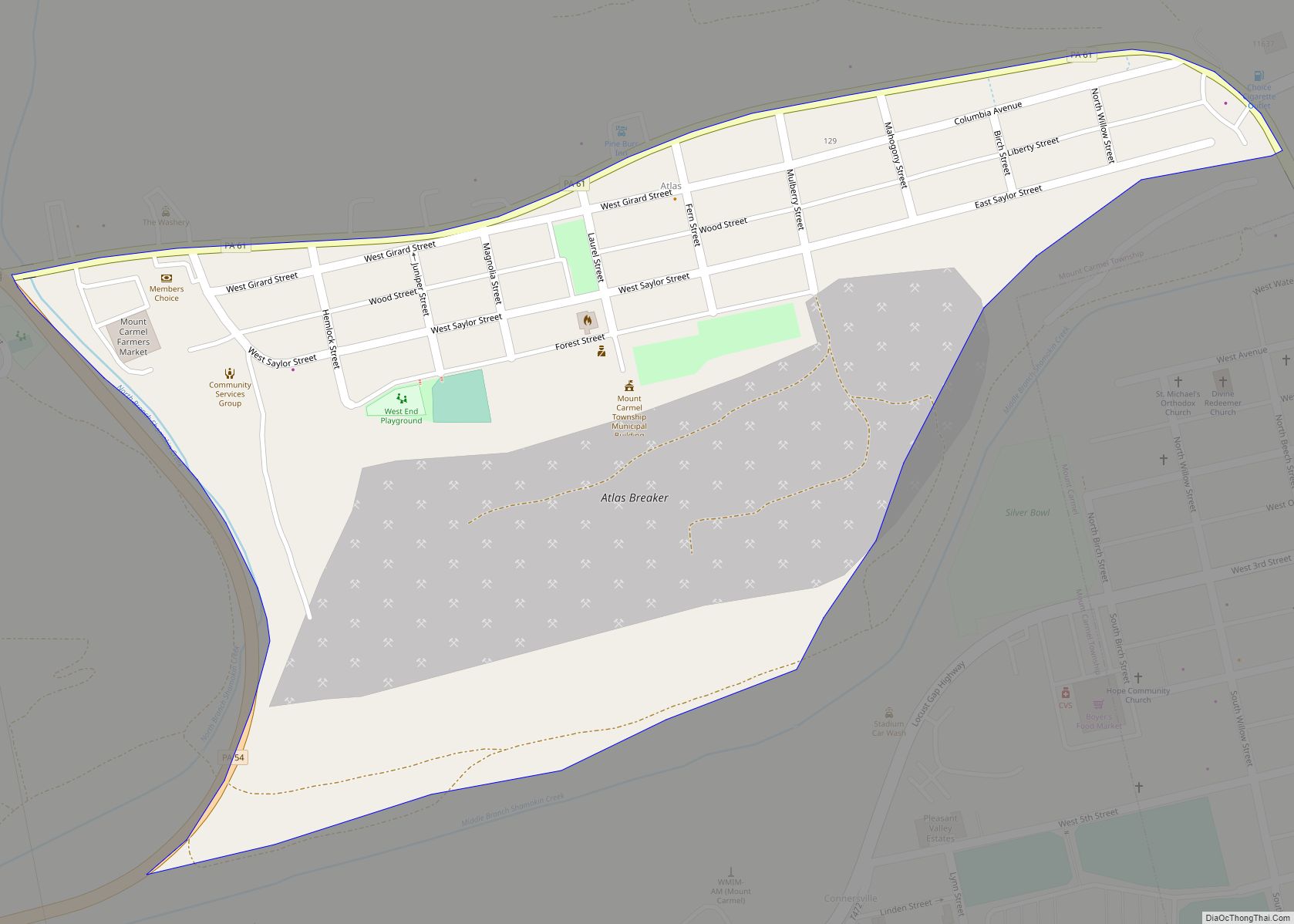
Mount Carmel is a borough in Northumberland County, located in the Coal Heritage Region of Central Pennsylvania‘s Susquehanna River Valley, United States. The population was 5,725 at the 2020 census. It is located 88 miles (141 km) northwest of Philadelphia and 71 miles (114 km) northeast of Harrisburg, in the Coal Region. It is completely encircled by Mount Carmel Township.
| Name: | Mount Carmel borough |
|---|---|
| LSAD Code: | 21 |
| LSAD Description: | borough (suffix) |
| State: | Pennsylvania |
| County: | Northumberland County |
| Total Area: | 0.66 sq mi (1.71 km²) |
| Land Area: | 0.66 sq mi (1.71 km²) |
| Water Area: | 0.00 sq mi (0.00 km²) |
| Total Population: | 5,725 |
| Population Density: | 8,648.04/sq mi (3,341.16/km²) |
| ZIP code: | 17851 |
| FIPS code: | 4251496 |
| Website: | www.mountcarmelborough.org |
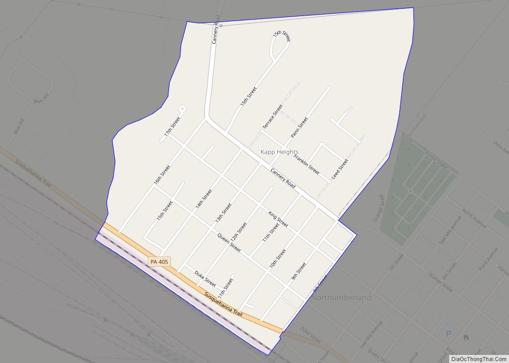
Online Interactive Map
Click on ![]() to view map in "full screen" mode.
to view map in "full screen" mode.
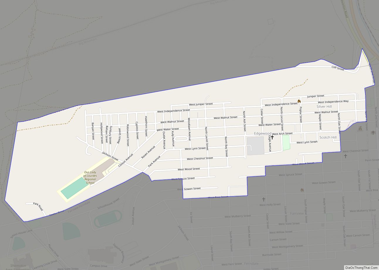
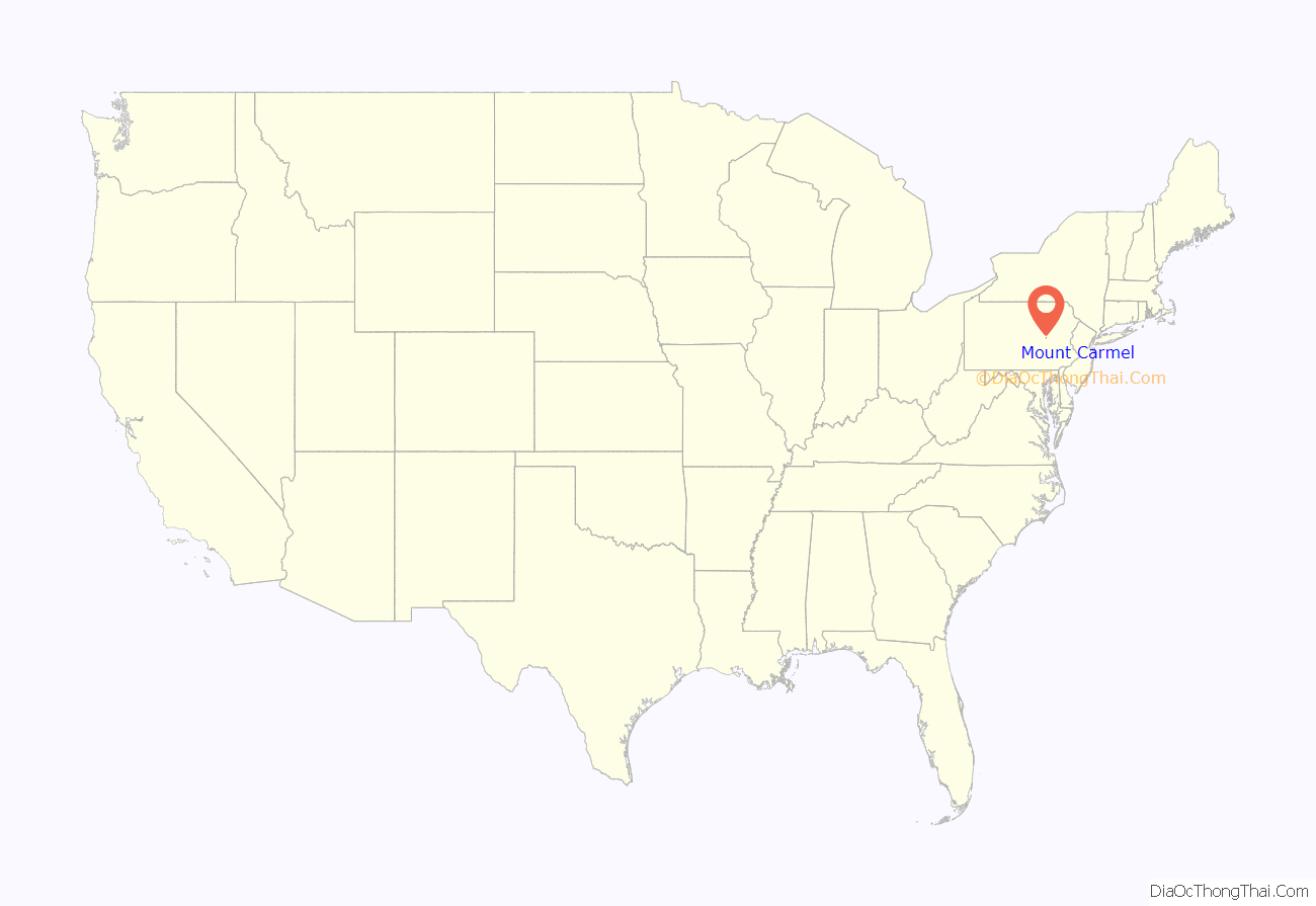
Mount Carmel location map. Where is Mount Carmel borough?
History
Sawmill operator, Albert Bradford, gave Mount Carmel its name because of its elevation and beautiful setting in the mountains. He decided that it deserved a special name and named it after the holy mountain in Israel. Mount Carmel began as a logging town. Coal was only discovered in 1790 by Isaac Tomlinson. It took twenty-four years until the first shipment of anthracite was shipped from the borough. Mount Carmel Inn was opened in 1812 by Richard Yarnall and was strategically located on the Centre Turnpike (also known as the Reading-Sunbury Road or Old Reading Road) halfway between Pottsville and Danville. During the latter part of 1854, the Philadelphia and Sunbury Railroad was completed from Shamokin to Mt. Carmel, which led to the opening and development of a number of collieries in the region. During the same year, the Locust Mountain Coal and Iron Company commenced making extensive openings and improvements upon their valuable coal lands in the vicinity of Mt. Carmel, building coal breakers for two collieries – the Coal Ridge and Locust Mountain collieries. The township was erected in 1854, formed from part of Coal Township; by 1862 the borough was incorporated within the township.
Mount Carmel was among the first towns in the country to have its streets lit by electricity. Thomas Edison placed one of his first generators plants here in 1883. The Edison Plant in Mount Carmel was the seventh such in the world.
In the past, there were extensive anthracite mining interests here and in the vicinity. In earlier years, the borough had manufactories of miners’ caps, cement blocks, cigars, shirts, stockings, etc., and large silk and planing mills, foundry and machine shops, a knitting mill, lumber yards, a packing plant, and wagon works. Currently that area supports light manufacturing in paper and plastics.
Timeline
- 1681 March 4 – Charles II of England grants a land charter to William Penn to repay a debt of £20,000 owed to his father, creating the Province of Pennsylvania
- 1682 August 24 – Penn divided the Province into three counties, Philadelphia, Bucks and Chester; The last comprised all lands west and south of the Delaware and the Schuylkill; therefore the site of Mount Carmel was originally in an area claimed by Chester County
- 1729 May 10 – Lancaster County created out of part of Chester County
- 1749 August 22 – Land comprising Mount Carmel part of a tract purchased from the Six Nations of the Iroquois Confederation
- 1752 March 11 – Berks County created out of part of Lancaster County
- before 1770 – Area inhabited by Native Americans
- 1770 – Europeans first settled in the area
- 1772 March 21 – Northumberland County formed, area that would become Mt. Carmel located in what was then Augusta Township
- 1783 September 3 – Treaty of Paris signed, formally recognizing Pennsylvania’s independence from the Kingdom of Great Britain
- 1785 – Catawissa Township formed from part of Augusta township
- 1788 – Ralpho Township formed from part of Catawissa township
- 1789 – Ralpho township renamed to Shamokin township
- 1790 – Anthracite coal discovered by Isaac Tomlinson on nearby Broad Mountain
- 1805 March 25 – Centre Turnpike Company incorporated
- 1808 – Centre Turnpike opens
- ~1811 – Centre Turnpike completed
- 1812 – Mt. Carmel Inn opens, located on the Centre Turnpike in (then) Shamokin township
- ~1830s – coal mining begins
- 1837 – Coal Township formed from parts of Little Mahanoy and Shamokin townships
- 1846 – first Post Office opens
- 1847 – land now comprising Mount Carmel Borough purchased by speculators
- 1853 – town plot finalized
- 1854 November 14 – Mount Carmel Township incorporated, from part of Coal Township
- 1855 – Evangelical Grace Church, the town’s first church, opens at Third & Market Streets
- 1855 – Centre Turnpike decommissioned
- 1862 November 3 – Mount Carmel Borough incorporated
- 1862 – First industrial business. Blacksmith shop operated by David Evert
- 1869 – Our Lady of Mount Carmel Roman Catholic Church is built
- 1877 December – Mt. Carmel Progress, the pioneer newspaper, was established
- 1883 November 17 – Edison Electric Illuminating Company of Mount Carmel founded
- 1888 – St. Matthew’s Lutheran Church is built
- 1894 November – Shamokin-Mount Carmel Electric Railway (trolley line) connecting Shamokin with Mount Carmel completed
- 1896 – Reliance Colliery is started by Thomas Baumgardner
- 1897 – Anthracite Brewing Company, later Mt. Carmel Brewery, founded
- 1900 – Saint Stephen’s Episcopal Church is Built
- 1906 – Divine Redeemer Church is built
- 1906 April – ‘Miners Dispute’ striking miners are shot by 21 troopers of the State Constabulary – ten men were injured, but all survived
- 1914 – Sts. Peter and Paul Byzantine-Ukrainian Catholic Church is built (it later burned in a fire and was rededicated in 1994)
- 1930 – The first viaduct was constructed to eliminate crossing two railroad tracks to enter town
- 1931 – Mount Carmel High School football stadium or “Silver Bowl” is opened being one of the first high school stadiums to have lighting for night games
- 1934 – Mattucci’s Willow Cafe’ opens
- 1948 June 17 – United Airlines Flight 624 crashes near Midvalley Colliery No. 2; killing all 4 crew members and 39 passengers on board
- 1950 – the coal mining ‘boom’ begins its decline
- 1951 – Mt. Carmel Brewery closes
- 1969 – WMIM Radio- AM 1590 signs-on. Signed-off 1999.
- 2003 – Original viaduct is removed and a reconstructed version is built by the Department of Transportation even though the railroads are no longer there
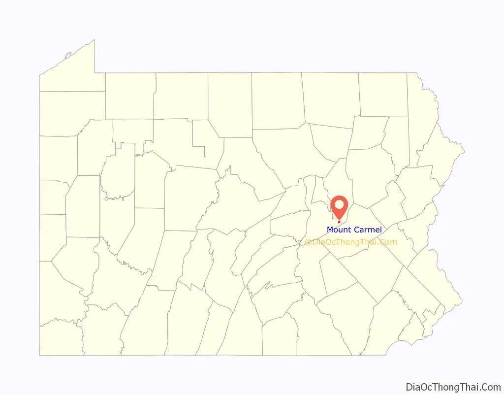
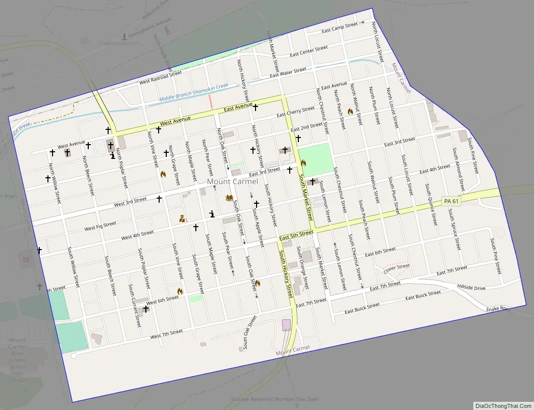
Mount Carmel Road Map
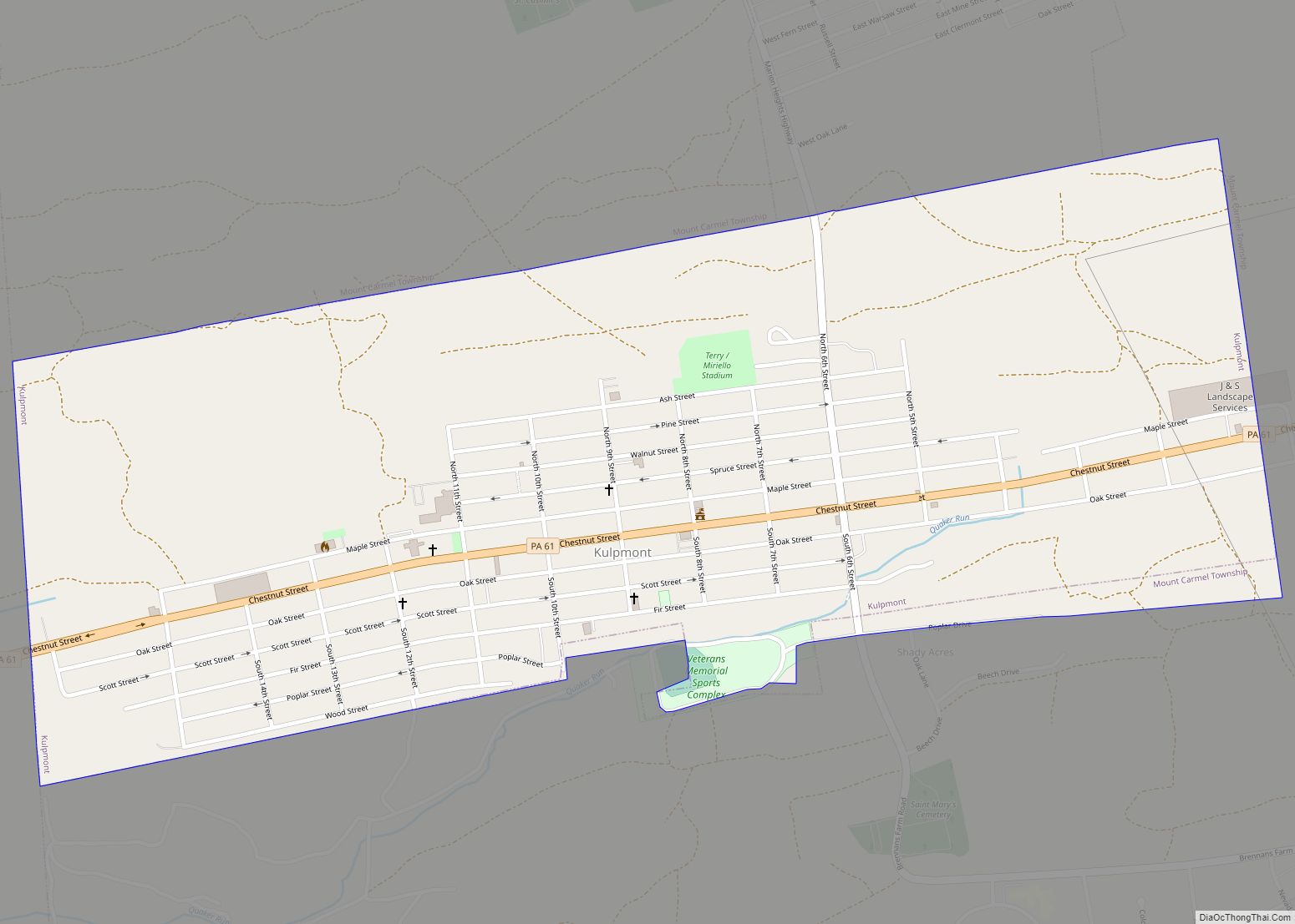
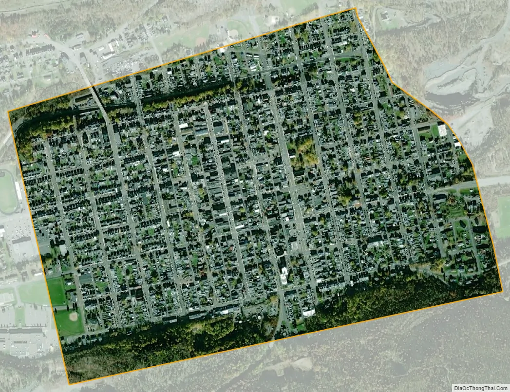
Mount Carmel city Satellite Map
Geography
Mount Carmel is located at 40°47′47″N 76°24′44″W / 40.79639°N 76.41222°W / 40.79639; -76.41222 (40.796447, −76.412231) in the ridge-and-valley zone of the central Appalachian Mountains. It is drained by the Shamokin Creek and is part of the Lower Susquehanna watershed. According to the United States Census Bureau, the borough has a total area of 0.7 square miles (1.7 km), all land.
Mount Carmel’s terrain is mostly flat. The borough’s land is mostly urban. Mount Carmel is served by Pennsylvania Route 61.
See also
Map of Pennsylvania State and its subdivision:- Adams
- Allegheny
- Armstrong
- Beaver
- Bedford
- Berks
- Blair
- Bradford
- Bucks
- Butler
- Cambria
- Cameron
- Carbon
- Centre
- Chester
- Clarion
- Clearfield
- Clinton
- Columbia
- Crawford
- Cumberland
- Dauphin
- Delaware
- Elk
- Erie
- Fayette
- Forest
- Franklin
- Fulton
- Greene
- Huntingdon
- Indiana
- Jefferson
- Juniata
- Lackawanna
- Lancaster
- Lawrence
- Lebanon
- Lehigh
- Luzerne
- Lycoming
- Mc Kean
- Mercer
- Mifflin
- Monroe
- Montgomery
- Montour
- Northampton
- Northumberland
- Perry
- Philadelphia
- Pike
- Potter
- Schuylkill
- Snyder
- Somerset
- Sullivan
- Susquehanna
- Tioga
- Union
- Venango
- Warren
- Washington
- Wayne
- Westmoreland
- Wyoming
- York
- Alabama
- Alaska
- Arizona
- Arkansas
- California
- Colorado
- Connecticut
- Delaware
- District of Columbia
- Florida
- Georgia
- Hawaii
- Idaho
- Illinois
- Indiana
- Iowa
- Kansas
- Kentucky
- Louisiana
- Maine
- Maryland
- Massachusetts
- Michigan
- Minnesota
- Mississippi
- Missouri
- Montana
- Nebraska
- Nevada
- New Hampshire
- New Jersey
- New Mexico
- New York
- North Carolina
- North Dakota
- Ohio
- Oklahoma
- Oregon
- Pennsylvania
- Rhode Island
- South Carolina
- South Dakota
- Tennessee
- Texas
- Utah
- Vermont
- Virginia
- Washington
- West Virginia
- Wisconsin
- Wyoming