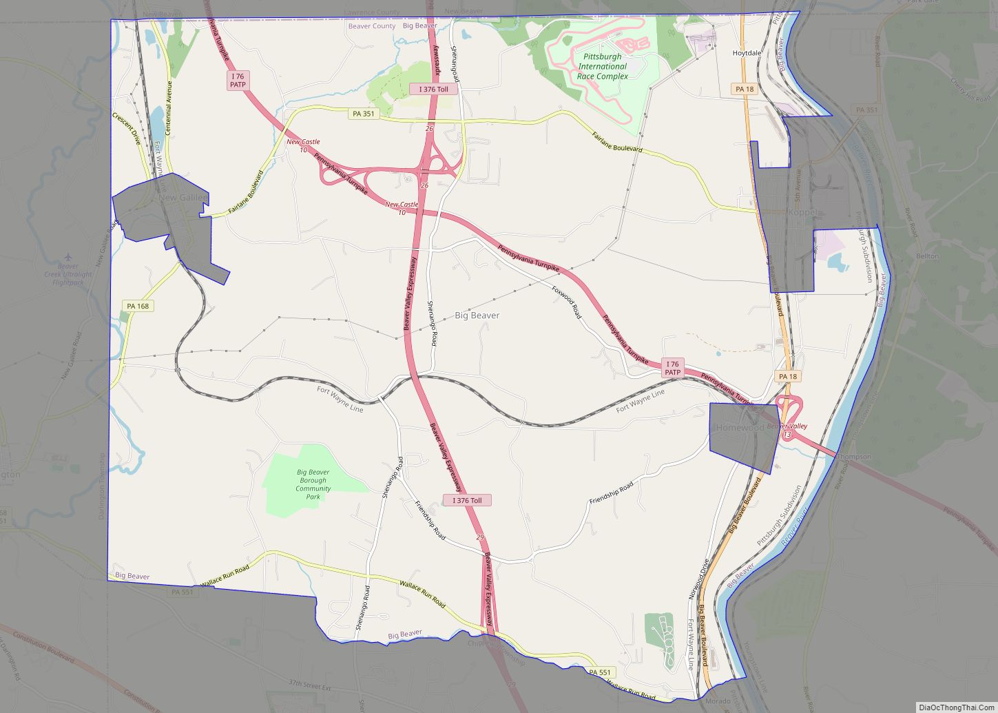
New Galilee is a borough in northern Beaver County, Pennsylvania, United States. The population was 331 at the 2020 census. It is a part of the Pittsburgh metropolitan area.
| Name: | New Galilee borough |
|---|---|
| LSAD Code: | 21 |
| LSAD Description: | borough (suffix) |
| State: | Pennsylvania |
| County: | Beaver County |
| Incorporated: | 1854 |
| Elevation: | 958 ft (292 m) |
| Total Area: | 0.28 sq mi (0.72 km²) |
| Land Area: | 0.28 sq mi (0.72 km²) |
| Water Area: | 0.00 sq mi (0.00 km²) |
| Total Population: | 330 |
| Population Density: | 1,191.34/sq mi (460.62/km²) |
| Area code: | 724 |
| FIPS code: | 4253592 |
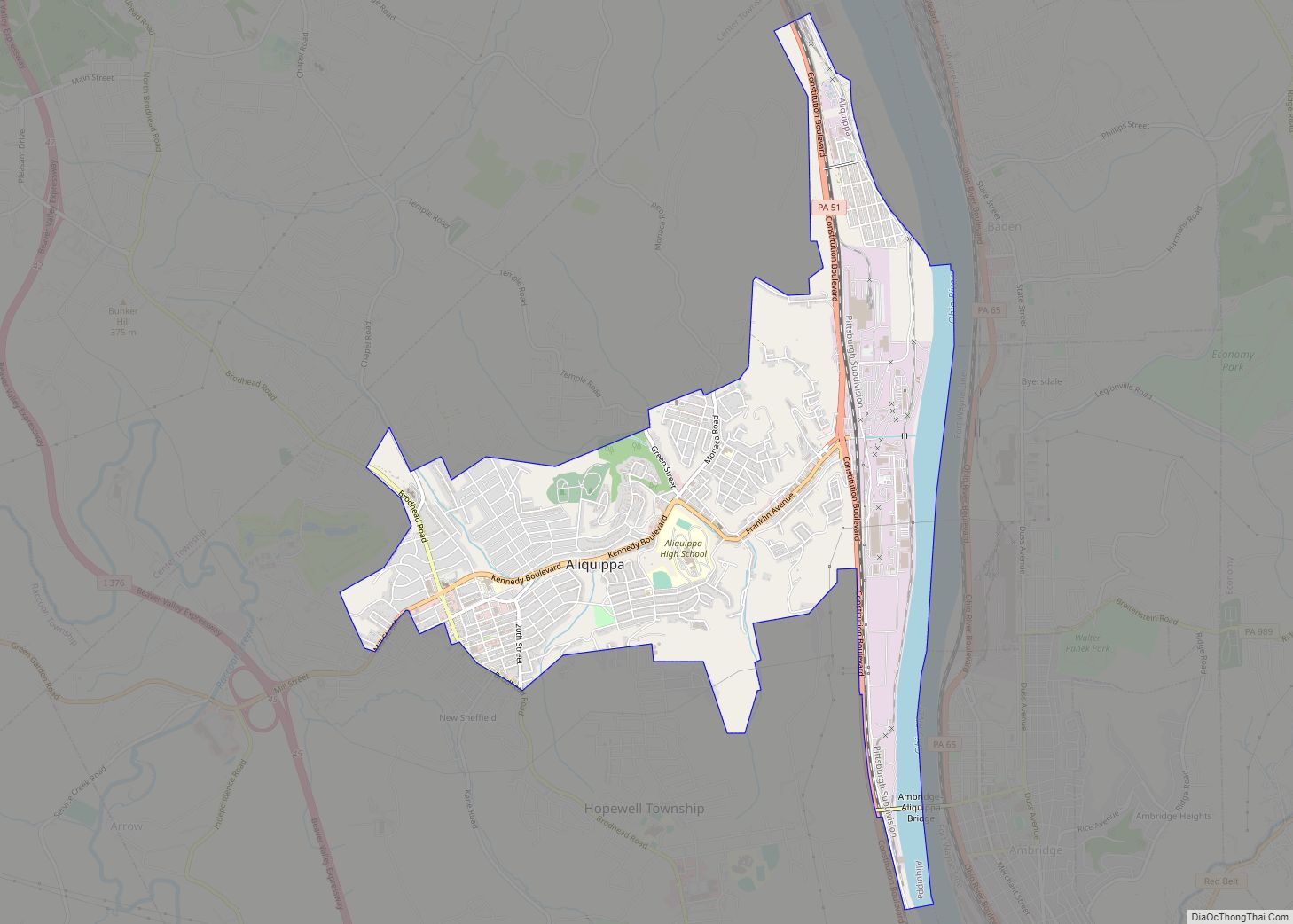
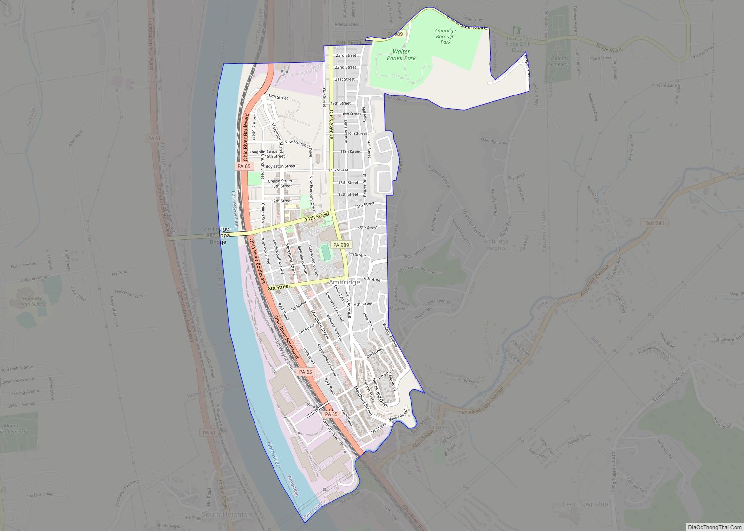
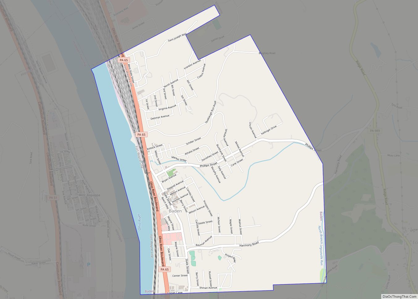
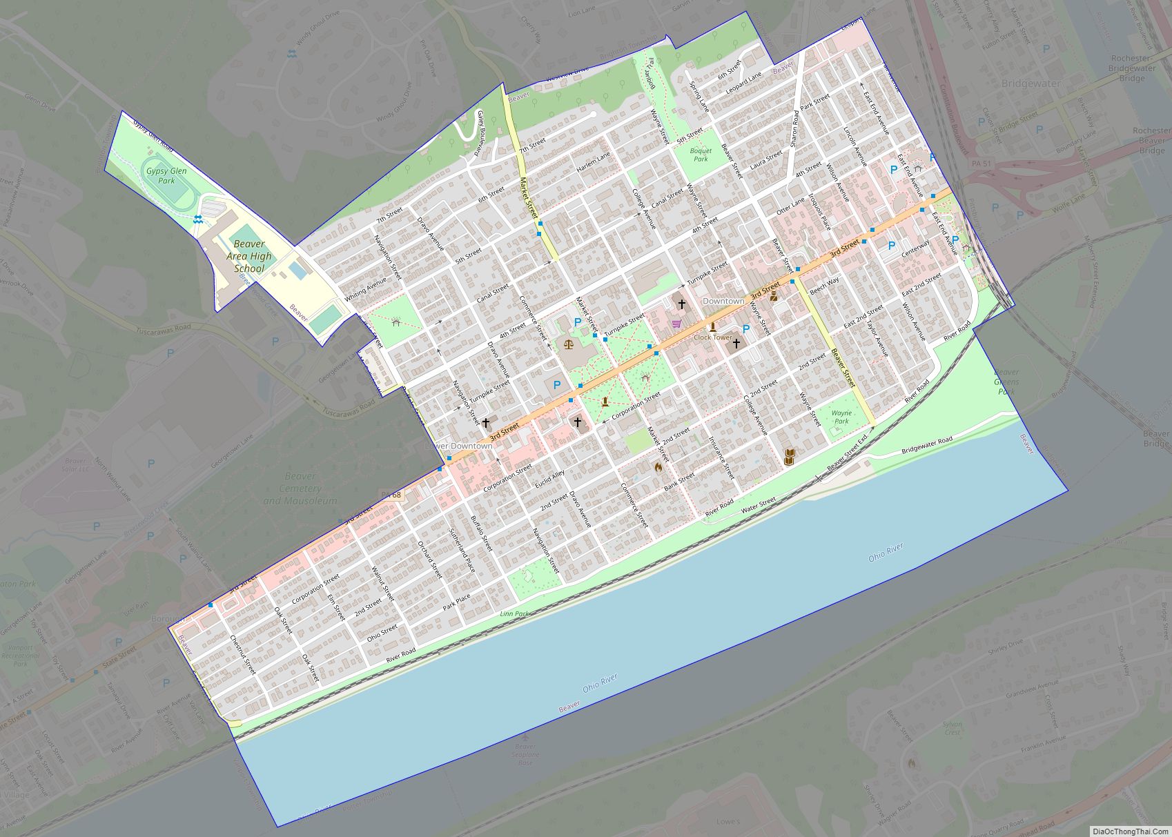
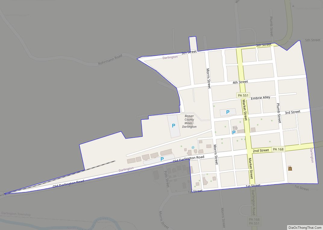
Online Interactive Map
Click on ![]() to view map in "full screen" mode.
to view map in "full screen" mode.
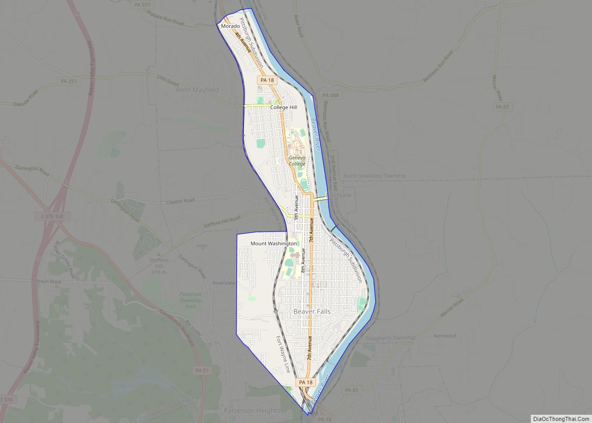
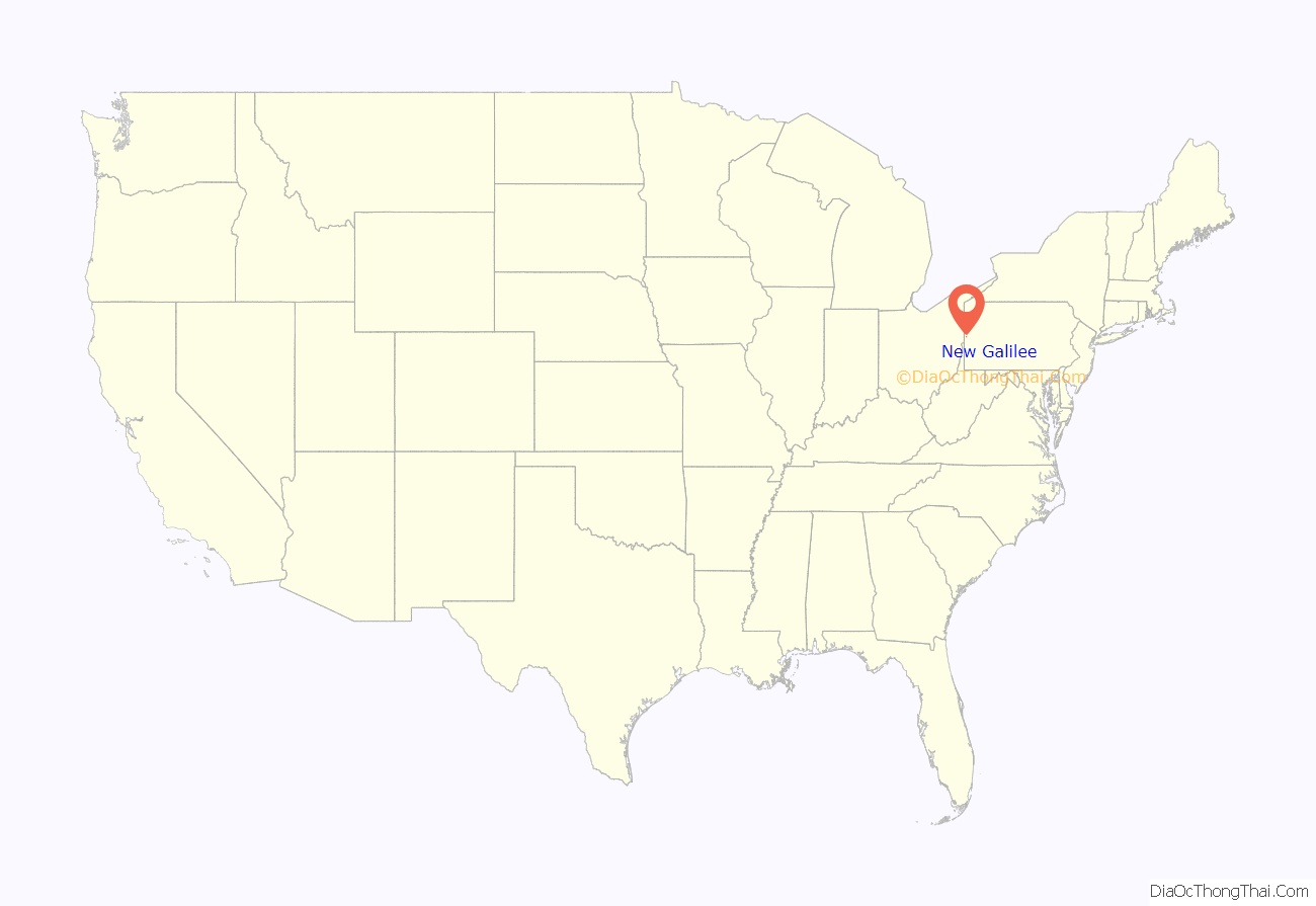
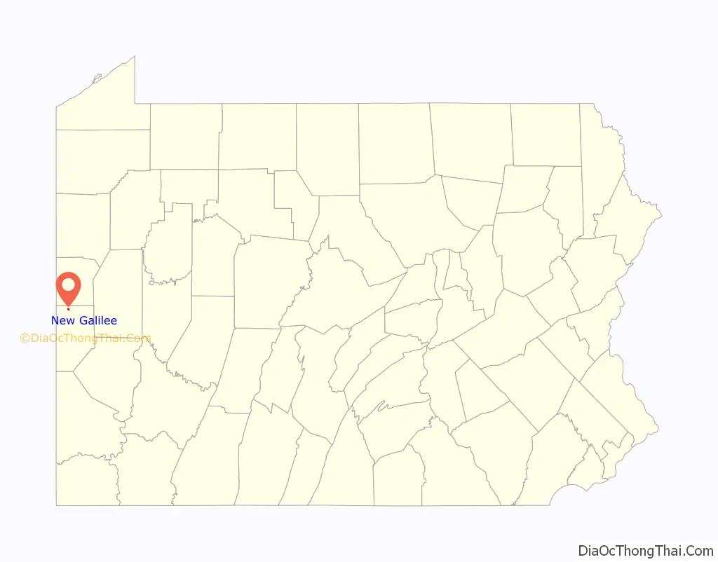
New Galilee location map. Where is New Galilee borough?
History
Early history
The first written records tell of the coming, by horseback and on foot, of white settlers to the vicinity about 1800. A large proportion of these were young married couples from eastern Pennsylvania, Virginia, and the north of Ireland. Something not generally known is that slavery once existed in Beaver County. In 1800 there were four slaves; in 1810 there were eight; in 1820 there were, five and in 1830 none: all having been liberated by law. In 1808 the state conveyed to Joseph Chapman a tract of land consisting of 386 acres. The plot was known as Chapman’s Hall and was so named in the deed. Chapman later sold his land to James Nicholson, who came and brought from the south three colored slaves, Pompey Frazier, Tamer Frazier and Betty Mathers. Mr. and Mrs. Nicholson by deed dated May 6, 1819, conveyed to these three servants, who had so faithfully served them, the farm on which they resided. The deed, however, not to be in effect while either Mr. or Mrs. Nicholson lived. Ten years after the date of the deed Mr. Nicholson died. Shortly after Tamer Frazier also died. Pompey Frazier and Betty Mathers continued to live with Mrs. Nicholson until her death, when they became the owners of the farm. Pompey Frazier died without offspring and Betty Mathers became sole possessor of the property. Meanwhile, she had married Henry Jordan, a fiddler, in 1840 and had several sons and daughters. She sold the land and upon it the greater part of New Galilee has been built. Betty Mathers Jordan died in 1872. The stream which flows through New Galilee is named for the Jordan family “Jordan’s Run”. . The original homestead of Betty Mathers and her husband Henry Jordan was located at 709 Washington Avenue, next to the post office. ..[5] This location is now the museum of the New Galilee Historical Society and residence of the curator William Bittner.
Founding and incorporation
In 1854 the question was raised as to what to name the village. The citizens, most of them devout Christians, said that, “As the small stream that flows through the village is called Jordan’s Run, why not name it New Galilee as Galilee means beyond Jordan”. Application was made at the June 1867 session of court for the rights of incorporation. The application was signed by P. L. Grim, Robert Porter, J. B. Johnson, W. Thompson, John Acheson, W. D. Eakin, John Graebing, R. E. Hudson, Dr. R. J. Britain, and twenty-two others. The degree was granted January 15, 1868. The first election was held ‘the third Friday of the following March, at which J. S. Hudson was judge, and W. D. Eakin and John Acheson were inspectors. The village was surveyed and platted June 13 and 14, 1876 by James Harper, County Surveyor. The northerly streets were to be Washington and Centennial Avenues. The easterly ones were to be Jackson. Jefferson, Monroe, and Madison.
Industries
Some industries have flourished in New Galilee. From 1860 to 1875 the Harmony Society operated two coal oil mills, one which was among the largest of its kind in the United States. It stood on the site of the Pennsylvania Railroad depot. A cooper shop was established in 1863 by Henry Donaldson. In 1865 Anthony Smith came from New York and started a second cooper shop. In 1902 the Beaver Clay Company, manufacturers of brick and clay products located in New Galilee.
Beaver Clay Manufacturing Co.
The Beaver Clay Mfg. Co. was incorporated in 1902, and its first plant was erected the same year. In that year, the company began manufacturing paving bricks. Shortly after the paving brick facilities were operational, the company made plans to manufacture face bricks. In 1915, the company made plans to improve its operations at a cost of over $100,000. Michael Baker was the lead engineer on the improvement project. The Beaver County clay company was awarded contracts with the U.S. government during World War I, which would help bolster its output to 30-36 million bricks in 1919. The company was purchased by the New Castle Refractories Company in 1935. The New Castle Refractories Co. purchase the plant in order to manufacture refractories for hot tops that were used in the open-hearth steel industry.
Eventually, the New Castle Refractories was absorbed by the Pittsburgh Refractories Company. Today, the property is occupied by E.J. Bognar, Inc., which is still in operation today.
Mining
Clay was an abundant resource in Beaver county. According to the 1955 circular of the Pennsylvania Geological Survey, In 1955 Beaver County produced 13.7% of Pennsylvania’s total clay output. There were 13 companies that mined clay in Beaver county at that time. Two of these companies, The Negley Fire Clay Co. and Ralph A. Veon, Inc. mined fire clay of the plastic variety from open pits and marketed the output for use in manufacturing fire brick and block, foundries, and heavy clay products. In addition, Ralph A. Veon, Inc., mined and sold fire clay of the burley variety. In 1955, New Castle Refractories mined stoneware clay from an underground mine near New Galilee for use locally in manufacturing pouring channels
New Galilee Road Map
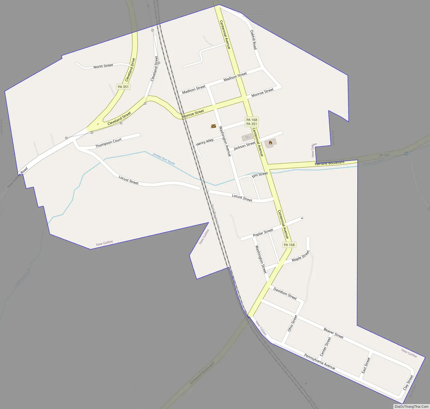
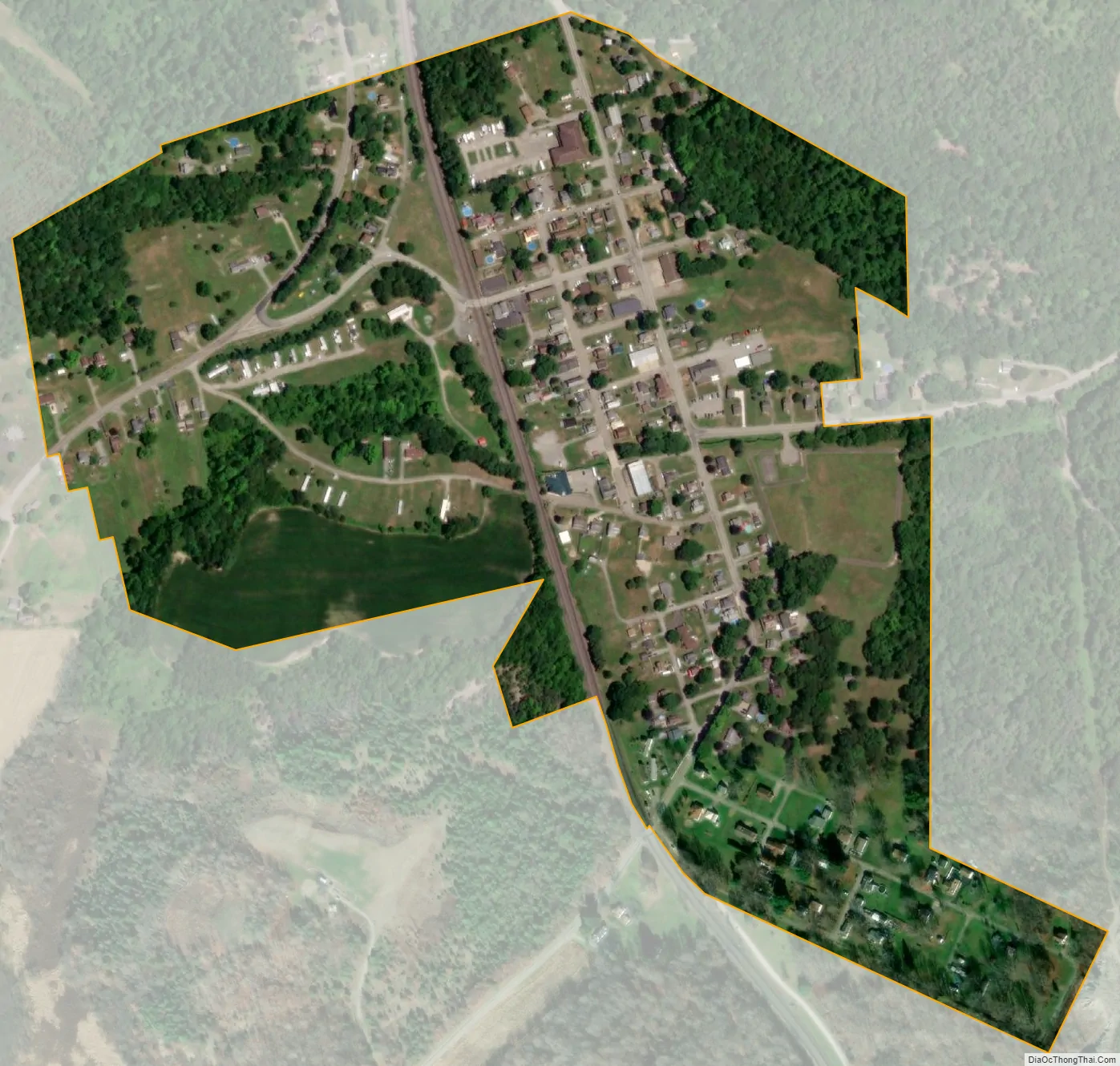
New Galilee city Satellite Map
Geography
New Galilee is located in northern Beaver County at 40°50′00″N 80°23′58″W / 40.833271°N 80.399462°W / 40.833271; -80.399462 (40.833271, -80.399462). It is entirely surrounded by the borough of Big Beaver.
According to the United States Census Bureau, the borough has a total area of 0.27 square miles (0.7 km), all land.
The Jordan Creek is the largest waterway in New Galilee.
See also
Map of Pennsylvania State and its subdivision:- Adams
- Allegheny
- Armstrong
- Beaver
- Bedford
- Berks
- Blair
- Bradford
- Bucks
- Butler
- Cambria
- Cameron
- Carbon
- Centre
- Chester
- Clarion
- Clearfield
- Clinton
- Columbia
- Crawford
- Cumberland
- Dauphin
- Delaware
- Elk
- Erie
- Fayette
- Forest
- Franklin
- Fulton
- Greene
- Huntingdon
- Indiana
- Jefferson
- Juniata
- Lackawanna
- Lancaster
- Lawrence
- Lebanon
- Lehigh
- Luzerne
- Lycoming
- Mc Kean
- Mercer
- Mifflin
- Monroe
- Montgomery
- Montour
- Northampton
- Northumberland
- Perry
- Philadelphia
- Pike
- Potter
- Schuylkill
- Snyder
- Somerset
- Sullivan
- Susquehanna
- Tioga
- Union
- Venango
- Warren
- Washington
- Wayne
- Westmoreland
- Wyoming
- York
- Alabama
- Alaska
- Arizona
- Arkansas
- California
- Colorado
- Connecticut
- Delaware
- District of Columbia
- Florida
- Georgia
- Hawaii
- Idaho
- Illinois
- Indiana
- Iowa
- Kansas
- Kentucky
- Louisiana
- Maine
- Maryland
- Massachusetts
- Michigan
- Minnesota
- Mississippi
- Missouri
- Montana
- Nebraska
- Nevada
- New Hampshire
- New Jersey
- New Mexico
- New York
- North Carolina
- North Dakota
- Ohio
- Oklahoma
- Oregon
- Pennsylvania
- Rhode Island
- South Carolina
- South Dakota
- Tennessee
- Texas
- Utah
- Vermont
- Virginia
- Washington
- West Virginia
- Wisconsin
- Wyoming