New Holland (Pennsylvania Dutch: Seischwamm) is a borough in Lancaster County, Pennsylvania, United States. As of the 2020 census, the population was 5,762, an increase over the figure of 5,378 tabulated in 2010.
| Name: | New Holland borough |
|---|---|
| LSAD Code: | 21 |
| LSAD Description: | borough (suffix) |
| State: | Pennsylvania |
| County: | Lancaster County |
| Elevation: | 495 ft (151 m) |
| Total Area: | 1.94 sq mi (5.03 km²) |
| Land Area: | 1.94 sq mi (5.03 km²) |
| Water Area: | 0.00 sq mi (0.00 km²) |
| Total Population: | 5,743 |
| Population Density: | 2,955.74/sq mi (1,141.16/km²) |
| ZIP code: | 17557 |
| FIPS code: | 4253696 |
| Website: | www.newhollandborough.org |
Online Interactive Map
Click on ![]() to view map in "full screen" mode.
to view map in "full screen" mode.
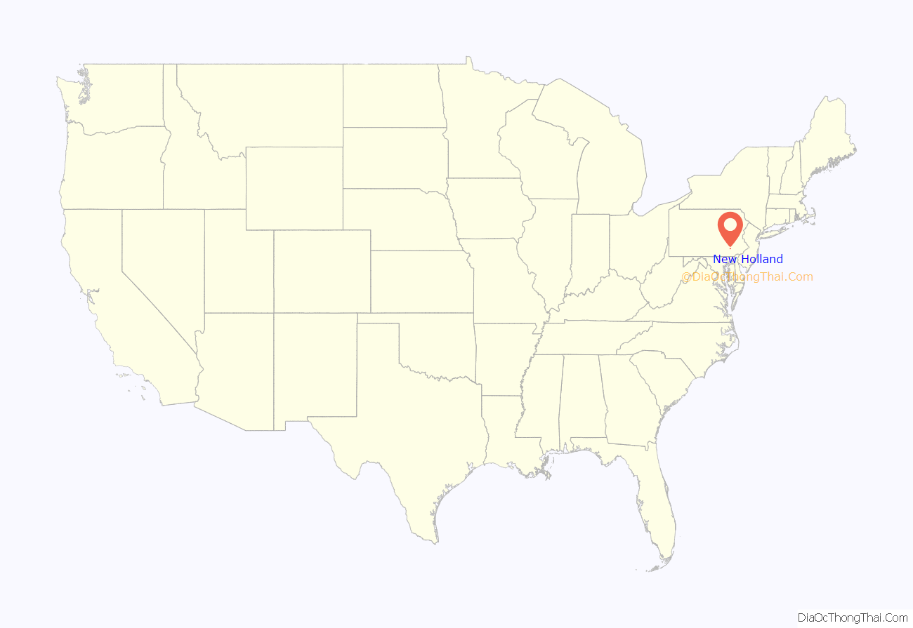
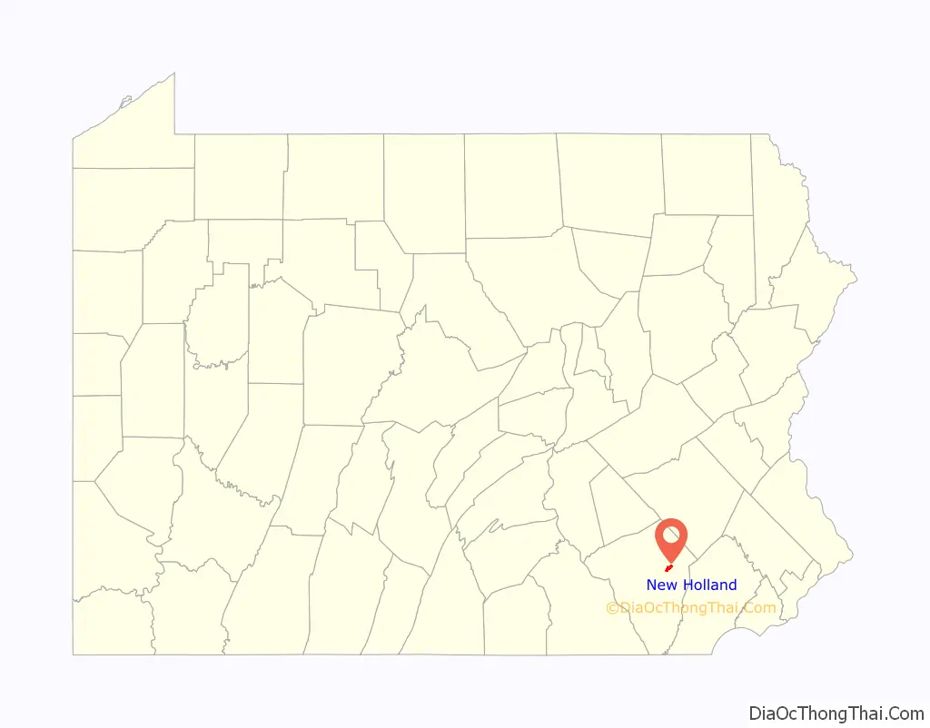
New Holland location map. Where is New Holland borough?
History
New Holland was settled in 1728 by brothers John Michael and John Phillip Ranc (Ranck). Before it became known as New Holland, it had been called “Hog Swamp”, “Earltown” and “New Design”.
The New Holland Machine Company, which later became New Holland Agriculture was founded here in 1895 by Abe Zimmerman. New Holland Agriculture is listed alongside John Casper Stoever Log House on the National Register of Historic Places.
New Holland has been the twin city of Longvic, France since 1967 because there was a Case New Holland plant in the French commune.
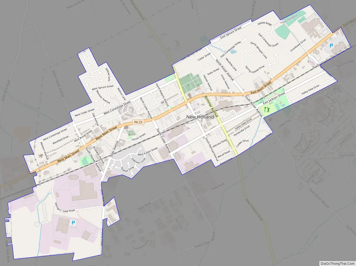
New Holland Road Map
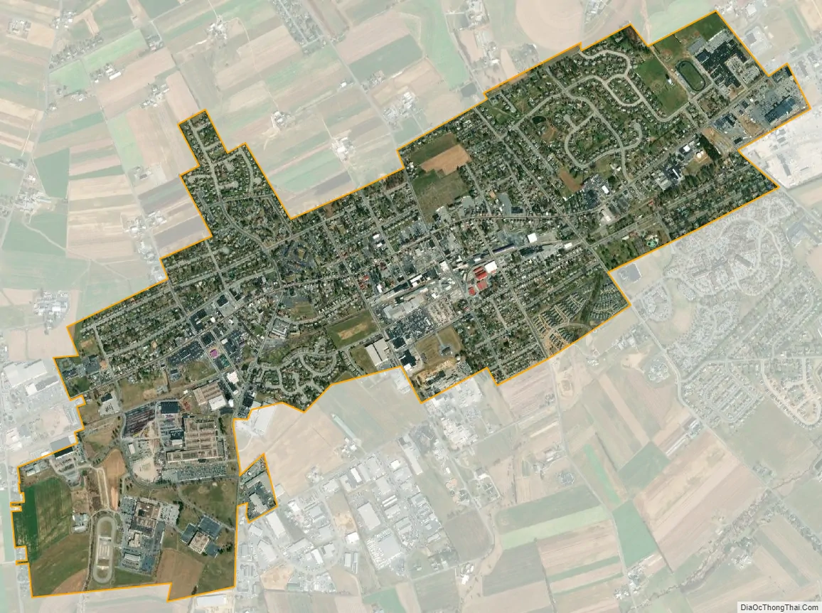
New Holland city Satellite Map
Geography
New Holland is located in eastern Lancaster County at 40°6′8″N 76°5′16″W / 40.10222°N 76.08778°W / 40.10222; -76.08778 (40.102095, -76.087646). Pennsylvania Route 23 passes through the borough as Main Street, leading east 11 miles (18 km) to Morgantown and west 14 miles (23 km) to Lancaster, the county seat.
According to the United States Census Bureau, the borough has a total area of 1.9 square miles (4.9 km), all land. The borough lies on a low ridge, with the north side draining via Groff Creek and other small streams to the Conestoga River and the south side draining to Mill Creek, a westward-flowing tributary of the Conestoga, which flows southwestward to the Susquehanna River.
See also
Map of Pennsylvania State and its subdivision:- Adams
- Allegheny
- Armstrong
- Beaver
- Bedford
- Berks
- Blair
- Bradford
- Bucks
- Butler
- Cambria
- Cameron
- Carbon
- Centre
- Chester
- Clarion
- Clearfield
- Clinton
- Columbia
- Crawford
- Cumberland
- Dauphin
- Delaware
- Elk
- Erie
- Fayette
- Forest
- Franklin
- Fulton
- Greene
- Huntingdon
- Indiana
- Jefferson
- Juniata
- Lackawanna
- Lancaster
- Lawrence
- Lebanon
- Lehigh
- Luzerne
- Lycoming
- Mc Kean
- Mercer
- Mifflin
- Monroe
- Montgomery
- Montour
- Northampton
- Northumberland
- Perry
- Philadelphia
- Pike
- Potter
- Schuylkill
- Snyder
- Somerset
- Sullivan
- Susquehanna
- Tioga
- Union
- Venango
- Warren
- Washington
- Wayne
- Westmoreland
- Wyoming
- York
- Alabama
- Alaska
- Arizona
- Arkansas
- California
- Colorado
- Connecticut
- Delaware
- District of Columbia
- Florida
- Georgia
- Hawaii
- Idaho
- Illinois
- Indiana
- Iowa
- Kansas
- Kentucky
- Louisiana
- Maine
- Maryland
- Massachusetts
- Michigan
- Minnesota
- Mississippi
- Missouri
- Montana
- Nebraska
- Nevada
- New Hampshire
- New Jersey
- New Mexico
- New York
- North Carolina
- North Dakota
- Ohio
- Oklahoma
- Oregon
- Pennsylvania
- Rhode Island
- South Carolina
- South Dakota
- Tennessee
- Texas
- Utah
- Vermont
- Virginia
- Washington
- West Virginia
- Wisconsin
- Wyoming


