New Tripoli (/trɪˈpoʊli/ trih-POH-lee) is an unincorporated community and census-designated place (CDP) in Lynn Township in Lehigh County, Pennsylvania. As of the 2020 census, the population was 840. New Tripoli is part of the Lehigh Valley, which had a population of 861,899 and was the 68th-most populous metropolitan area in the U.S. as of the 2020 census.
The name comes from Tripoli in Libya, in commemoration of the fighting in the Barbary Wars. The pronunciation of New Tripoli is with the stress on “PO”, as many non-natives make the mistake of stressing the first syllable which will often be corrected by natives. The New Tripoli ZIP Code is 18066 and it is in area code 610, exchange 298.
| Name: | New Tripoli CDP |
|---|---|
| LSAD Code: | 57 |
| LSAD Description: | CDP (suffix) |
| State: | Pennsylvania |
| County: | Lehigh County |
| Elevation: | 578 ft (176 m) |
| Land Area: | 0.92 sq mi (2.37 km²) |
| Water Area: | 0.00 sq mi (0.00 km²) |
| Population Density: | 916.03/sq mi (353.83/km²) |
| ZIP code: | 18066 |
| Area code: | 610 and 484 |
| FIPS code: | 4254288 |
| GNISfeature ID: | 1182377 |
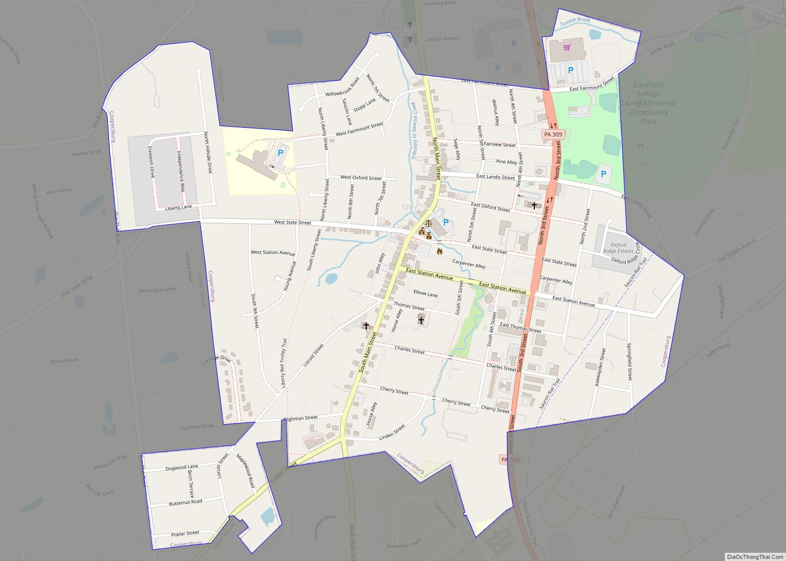
Online Interactive Map
Click on ![]() to view map in "full screen" mode.
to view map in "full screen" mode.
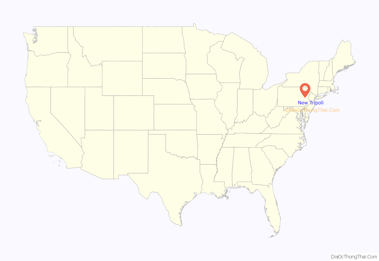
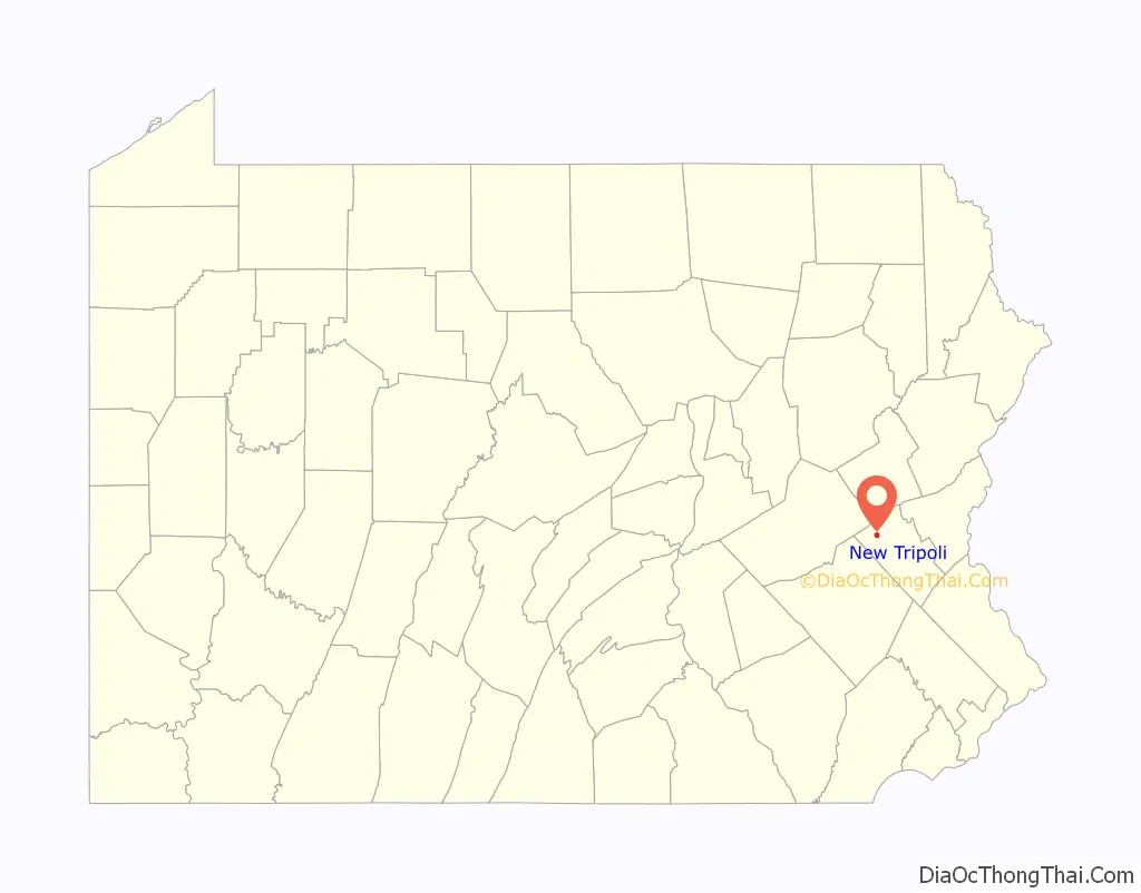
New Tripoli location map. Where is New Tripoli CDP?
New Tripoli Road Map
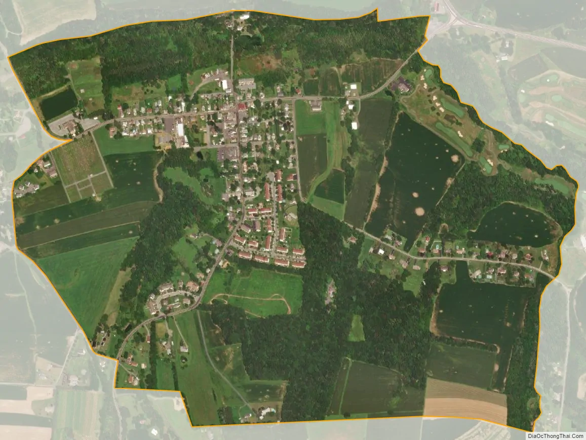
New Tripoli city Satellite Map
Geography
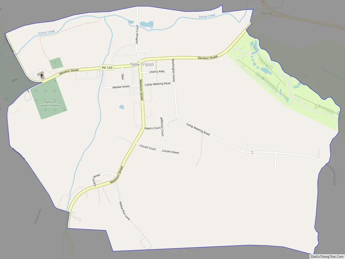
The village is located at the intersection of Madison Street and Pennsylvania Route 143 near Pennsylvania Route 309 on the northern edge of the Lehigh Valley region of Pennsylvania. It is in northwestern Lehigh County, in the eastern part of Lynn Township. PA 143 leads east 0.5 miles (0.8 km) to PA 309 and southwest 8 miles (13 km) to Kempton. PA 309 leads southeast 14 miles (23 km) to the west side of the Allentown area and northwest across Blue Mountain 16 miles (26 km) to Tamaqua.
According to the U.S. Census Bureau, the New Tripoli CDP has a total area of 0.93 square miles (2.4 km), of which 41,340 square feet (3,841 m), or 0.16%, are water. School Creek flows westward through the north side of town, joining Ontelaunee Creek just west of the CDP border. Water runoff from the town flows via School Creek, Ontelaunee Creek, and Maiden Creek to the Schuylkill River, part of the Delaware River watershed.
See also
Map of Pennsylvania State and its subdivision:- Adams
- Allegheny
- Armstrong
- Beaver
- Bedford
- Berks
- Blair
- Bradford
- Bucks
- Butler
- Cambria
- Cameron
- Carbon
- Centre
- Chester
- Clarion
- Clearfield
- Clinton
- Columbia
- Crawford
- Cumberland
- Dauphin
- Delaware
- Elk
- Erie
- Fayette
- Forest
- Franklin
- Fulton
- Greene
- Huntingdon
- Indiana
- Jefferson
- Juniata
- Lackawanna
- Lancaster
- Lawrence
- Lebanon
- Lehigh
- Luzerne
- Lycoming
- Mc Kean
- Mercer
- Mifflin
- Monroe
- Montgomery
- Montour
- Northampton
- Northumberland
- Perry
- Philadelphia
- Pike
- Potter
- Schuylkill
- Snyder
- Somerset
- Sullivan
- Susquehanna
- Tioga
- Union
- Venango
- Warren
- Washington
- Wayne
- Westmoreland
- Wyoming
- York
- Alabama
- Alaska
- Arizona
- Arkansas
- California
- Colorado
- Connecticut
- Delaware
- District of Columbia
- Florida
- Georgia
- Hawaii
- Idaho
- Illinois
- Indiana
- Iowa
- Kansas
- Kentucky
- Louisiana
- Maine
- Maryland
- Massachusetts
- Michigan
- Minnesota
- Mississippi
- Missouri
- Montana
- Nebraska
- Nevada
- New Hampshire
- New Jersey
- New Mexico
- New York
- North Carolina
- North Dakota
- Ohio
- Oklahoma
- Oregon
- Pennsylvania
- Rhode Island
- South Carolina
- South Dakota
- Tennessee
- Texas
- Utah
- Vermont
- Virginia
- Washington
- West Virginia
- Wisconsin
- Wyoming