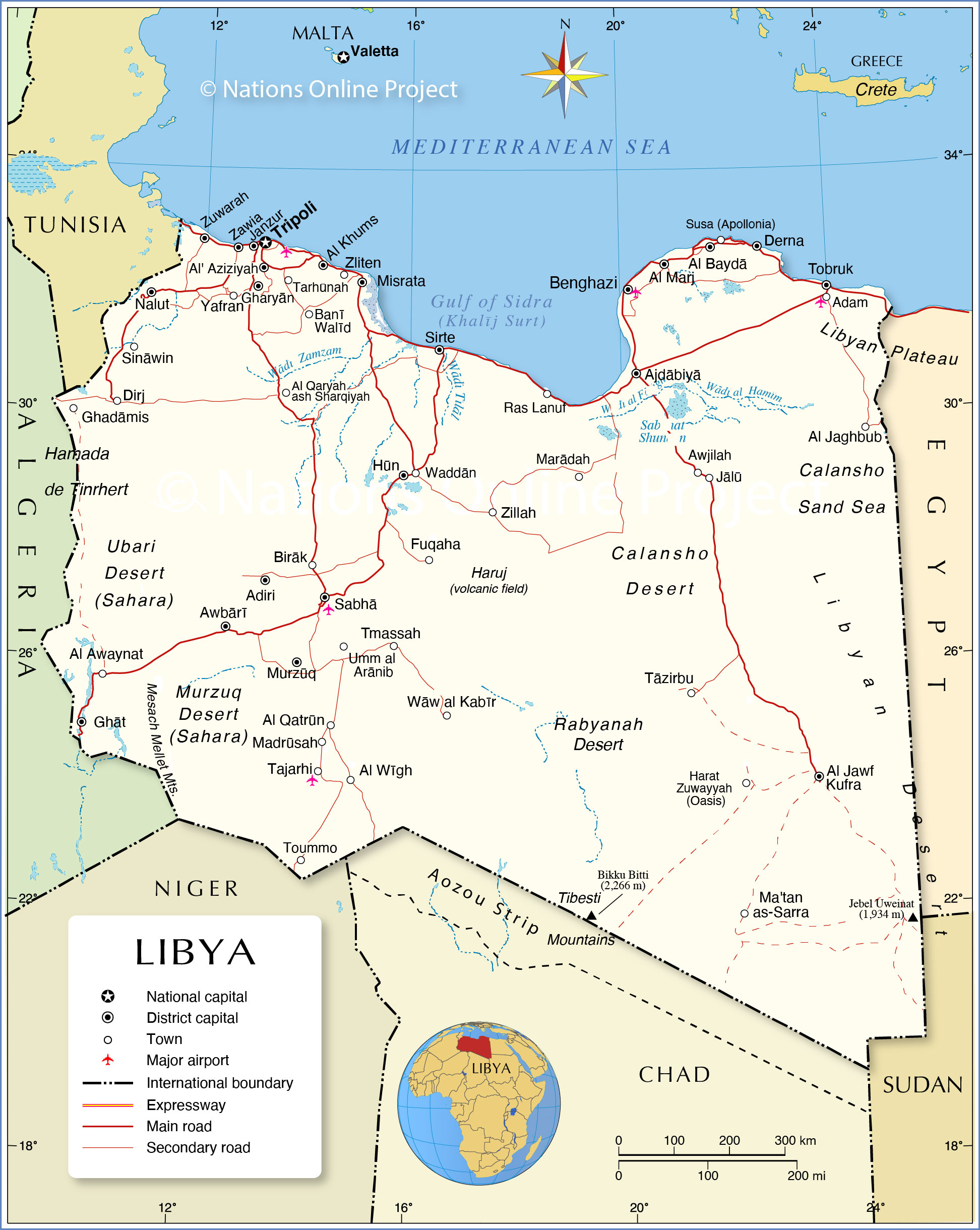
With an area of 1,759,541 sq. km, the North African country of Libya, is the fourth largest country in the continent.
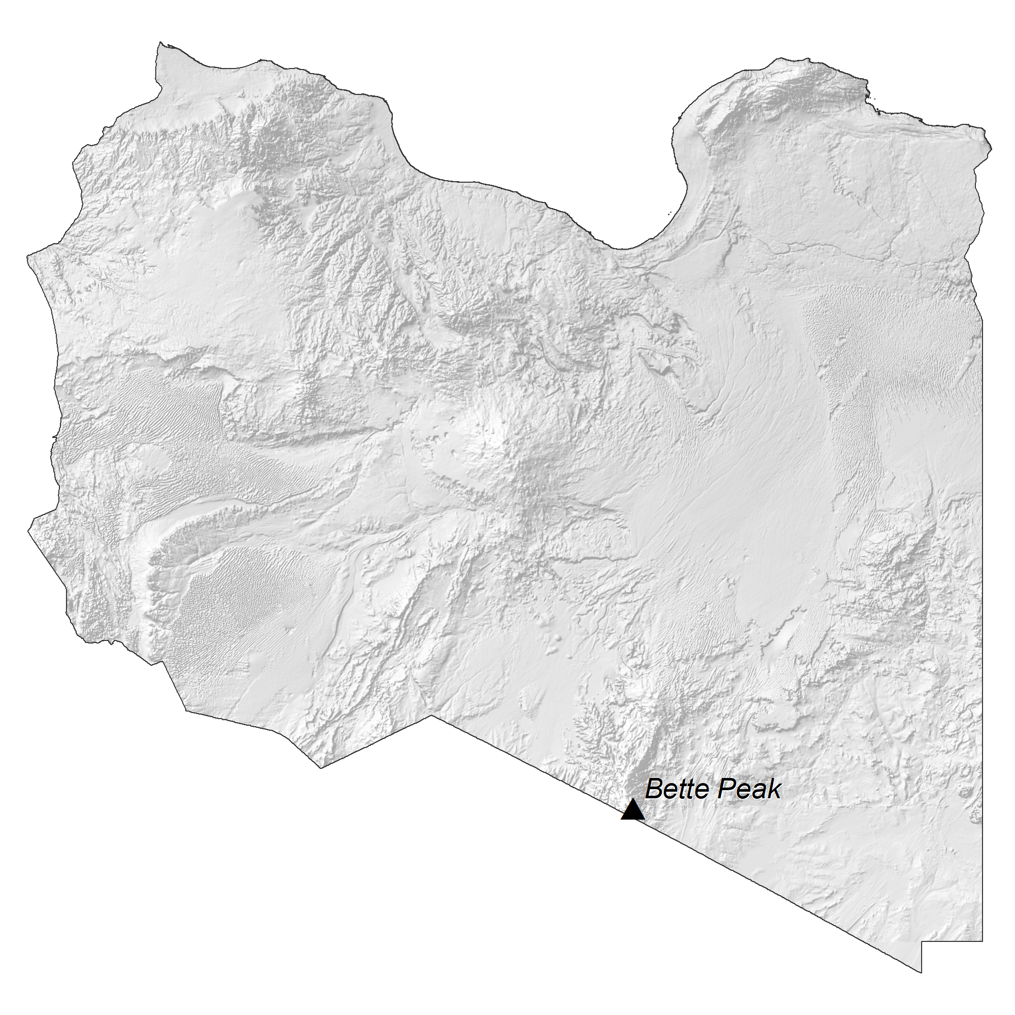
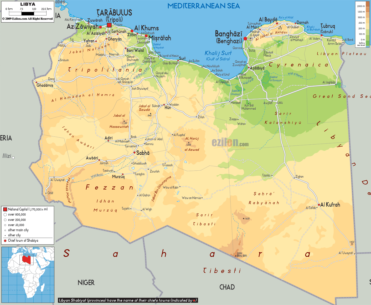
As observed on the physical map of Libya, most of the country’s terrain is barren and features flat to undulating plains, plateaus, and depressions.Several highlands dot the landscape, but there are almost no true mountain ranges, except for the Tibesti Massif along its border with Chad.
South of Libya’s narrow coastal strip is a sparse grassland giving way to the Sahara Desert – a vast, unfertile wasteland that supports a very small percentage of people and agriculture.
The Mediterranean coast and the Sahara Desert are Libya’s most prominent natural features.
Within Africa, Libya has the longest Mediterranean coastline and is home to many unspoiled beaches.
The highest point of the country is Bikku Bitti at 2,267 m as marked on the map with an upright yellow triangle. The lowest point of Libya is Sabkhat Ghuzayyil at -47 m.
There are no permanent rivers in Libya. There are numerous wadis or dry river beds that are intermittently filled up by water from occasional flash floods. The country has an extensive store of underground water that feeds the oases in the country.
| Flag: |  |
|---|---|
| Legal Name: | State of Libya |
| Capital Value: | Tripoli (Tarabulus) |
| Official languages: | Arabic |
| Demonym(s): | Libyan |
| Government: | Unitary provisional unity government |
| Legislature: | House of Representatives |
| Total Area: | 1,759,540 km² |
| Land Area: | 1,759,540 km² |
| Population: | 6,777,452 |
| Density: | 3.74/km (9.7/sq mi) (218th) |
| GDP: | $52.08 Billion |
| GDP Per Capita: | $7,683.75 |
| Currency Value: | Libyan dinars (LYD) |
| Driving side: | right |
| Calling code: | +218 |
| Internet TLD: | .ly ليبيا. |
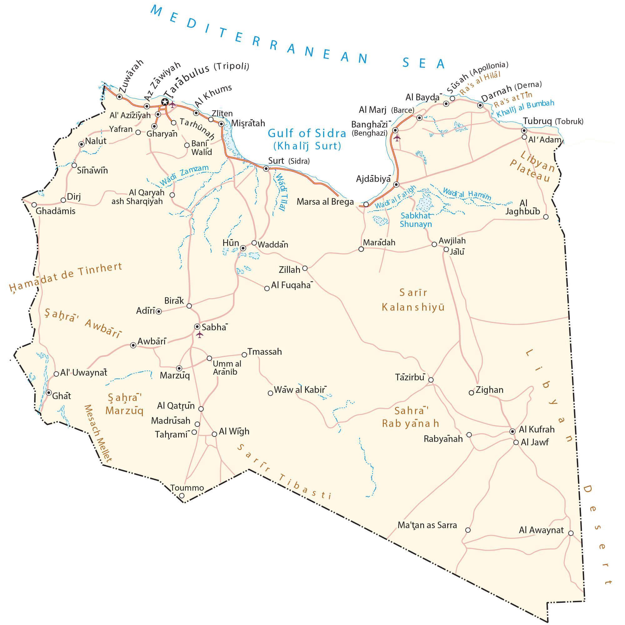
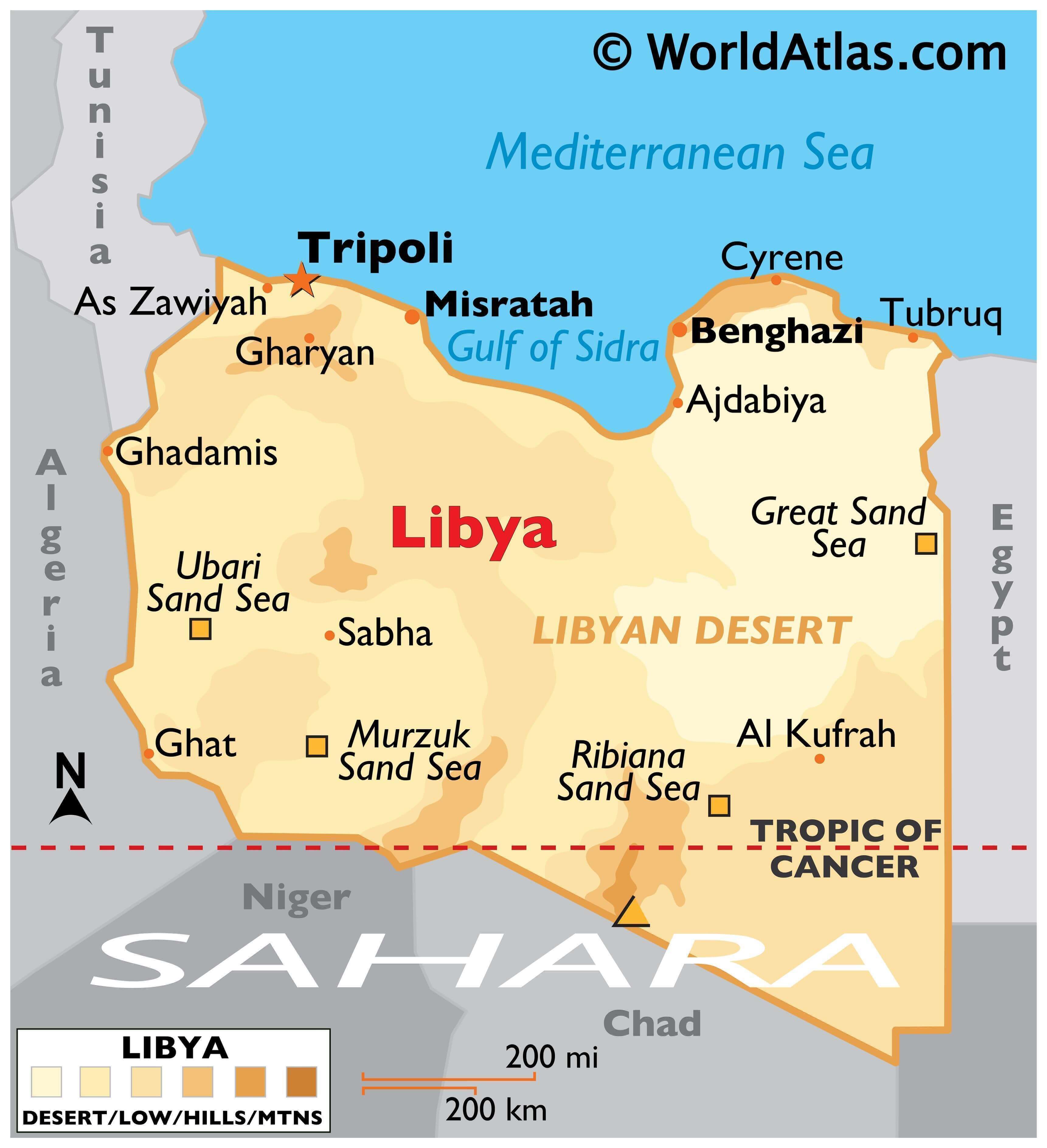
Explore the beautiful country of Libya with this interactive map. It shows the major cities, towns, and roads, as well as its two most prominent features – the Sahara Desert and the Mediterranean Sea. With an elevation and satellite map, you can get a better appreciation of its stunning landscape.
Online Interactive Political Map
Click on ![]() to view map in "full screen" mode.
to view map in "full screen" mode.
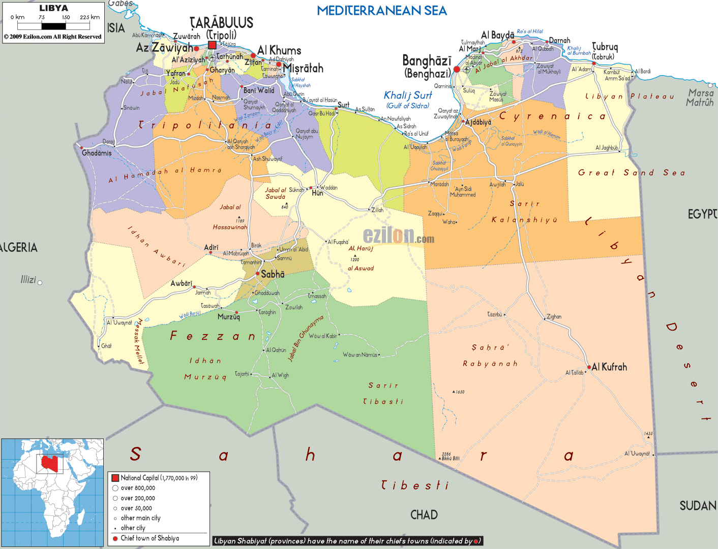
As per the CIA World Factbook, Libya has 22 governorates. In alphabetical order, these are: Al Butnan, Al Jabal al Akhdar, Al Jabal al Gharbi, Al Jafarah, Al Jufrah, Al Kufrah, Al Marj, Al Marqab, Al Wahat, An Nuqat al Khams, Az Zawiyah, Banghazi (Benghazi), Darnah, Ghat, Misratah, Murzuq, Nalut, Sabha, Surt, Tarabulus (Tripoli), Wadi al Hayat, Wadi ash Shati.
Tripoli is the capital of the country.
Location Maps
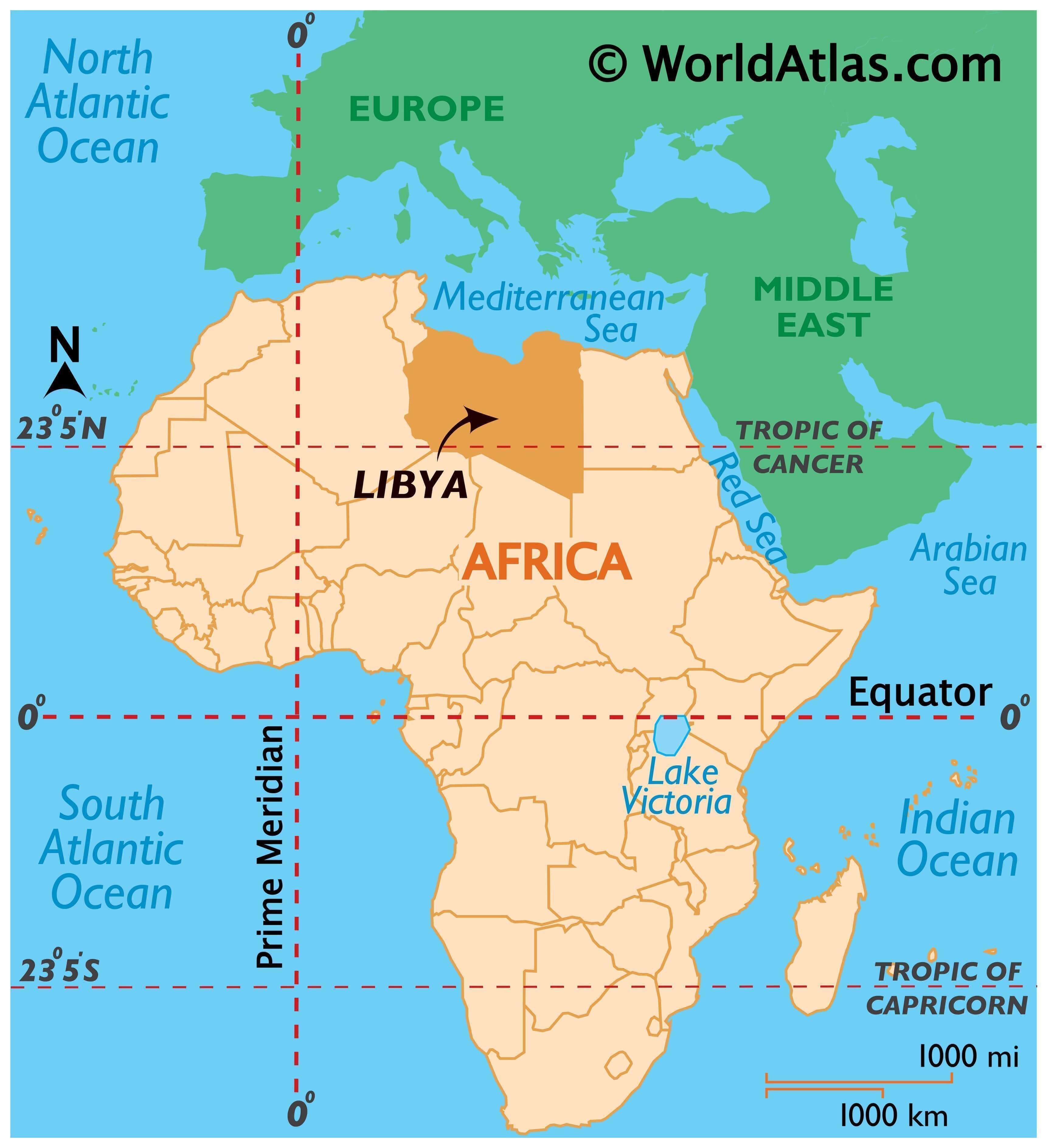
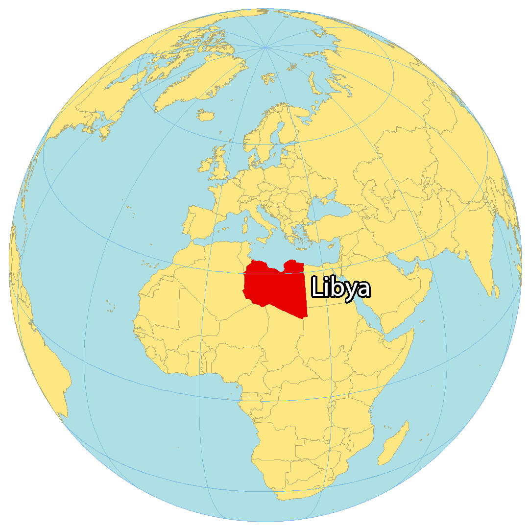
Where is Libya?
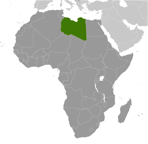
Libya is a large African country located in Northern Africa. It is bordered by Egypt to the east, Sudan to the southeast, Chad to the south, Niger to the southwest, Algeria to the west, and Tunisia to the northwest. Most of the population is concentrated along the 1,770-kilometer coastline of the Mediterranean Sea, which includes the country’s capital of Tripoli. There are 6.78 million people living in Libya, with close to half residing in Tripoli and its nearby area. Libya is well known for its oil reserves, deserts, and ancient history.
High Definition Political Map of Libya

Physical Map of Libya
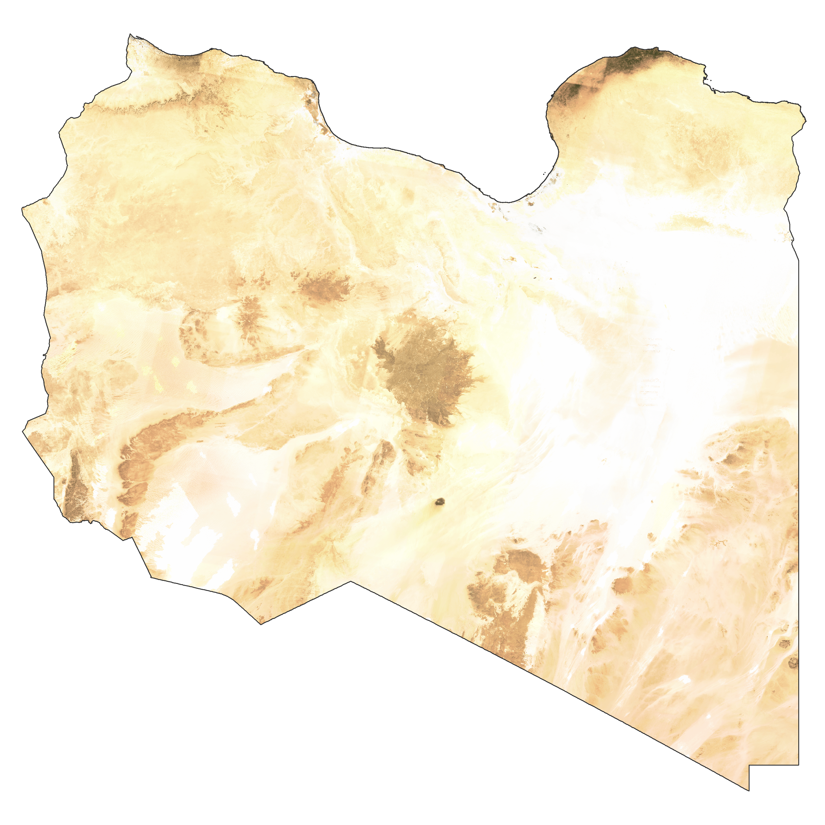
Libya Satellite Map
Elevation Map